Antique Maps of Europe
2,956 original sheets
Western Europe 1908Northern Europe 146Central Europe 88Eastern Europe 102South-East Europe 135Southern Europe 275Europe as a Whole 169
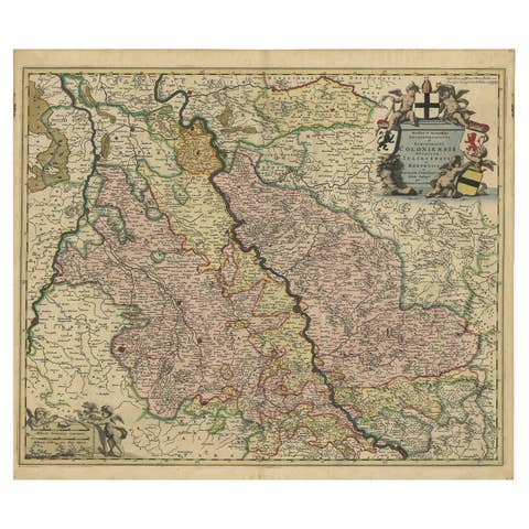
Rhine Splendor: Antique Map of the Lower Rhine Region, circa 1680
1680 · € 960
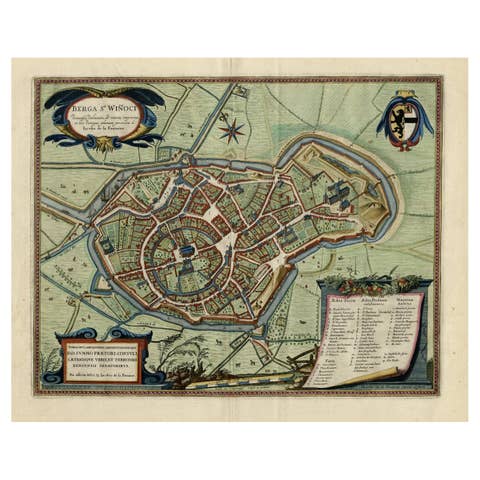
Original Old Bird's-Eye View Plan of Sint-Winoksbergen or Bergen in France, 1649
1649 · € 1 450
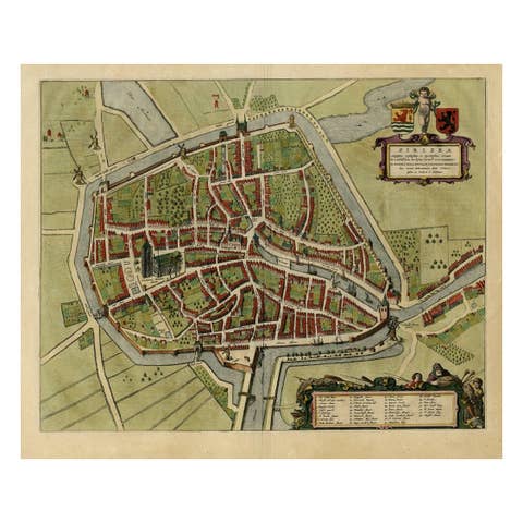
Antique Bird's-eye View Plan of Zierikzee in Zeeland, The Netherlands, 1649
1649 · € 1 150
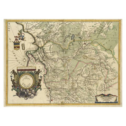
Splendid Detailed Map of the Province of Overijssel in the Netherlands, ca.1692
1692 · € 1 630
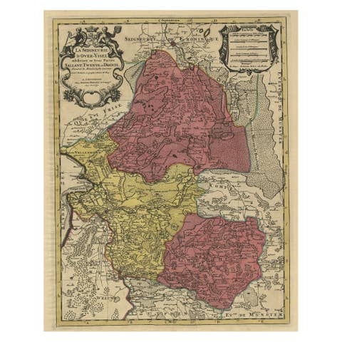
Detailed Antique Map of the Province of Overijssel in the Netherlands, ca.1700
1700 · € 740
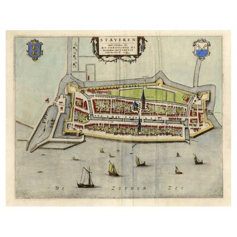
Original Antique Map of the City of Stavoren, Friesland, The Netherlands, 1649
1649 · € 950
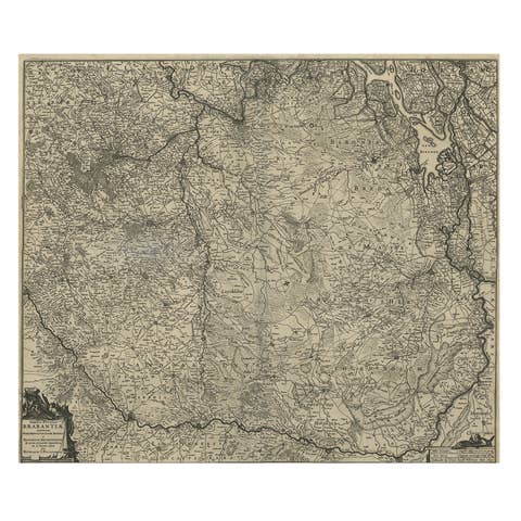
Detailed Map of the South of the The Netherlands & The North of Belgium, ca.1680
1680 · € 670
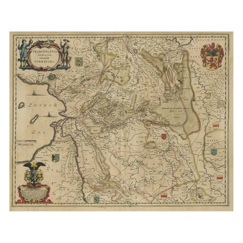
Original Antique Map of the Dutch Provinces of Overijssel and Drenthe, 1635
1635 · € 480
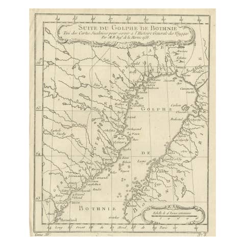
Antique Map of the Gulf of Bothnia, the Northernmost Arm of the Baltic, 1759
1759 · € 240
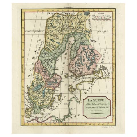
Decorative Antique Map of Sweden and Part of Finland, 1806
1806 · € 480
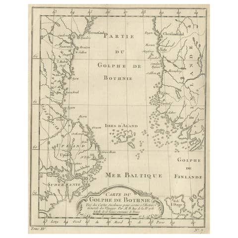
Old Map of the Gulf of Bothnia, the Northernmost Arm of the Baltic Sea, 1759
1759 · € 240
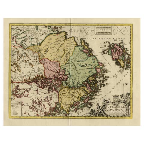
Original and Decorative Antique Engraved Map of Finland and Sweden, ca.1720
1720 · € 1 450
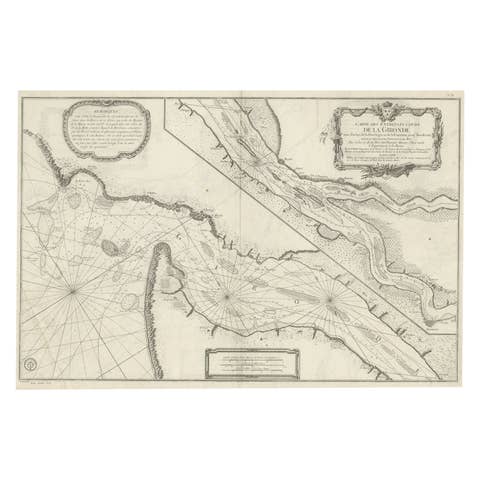
Gironde, Where Rivers Dordogne & Garonne Meet Near Bordeaux, France, ca.1770
1770 · € 1 040

Map of Duchy of Brabant Centered on Fortress of Louvain or Leuven, Belgium, 1720
1720 · € 980
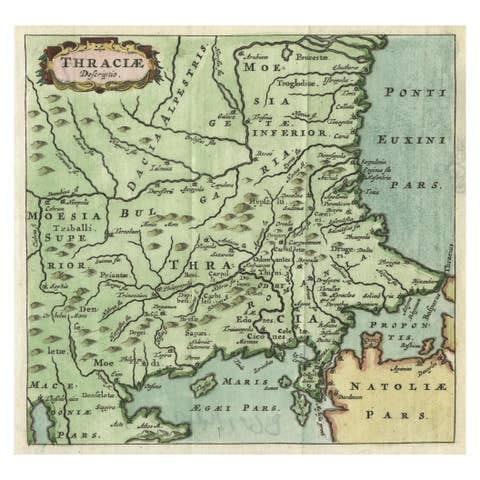
Charming Miniature Map of Thrace or Thrake in Southeast Europe, 1685
1685 · € 330
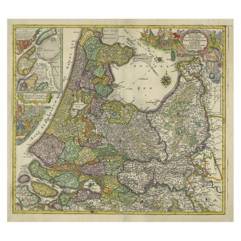
Antique Map of the Northwestern Netherlands, incl Texel and Vlieland, ca.1741
1741 · € 940
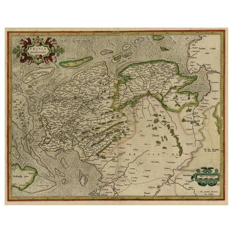
Early Antique Map of the Dutch Provinces of Friesland and Groningen, 1604
1604 · € 1 120
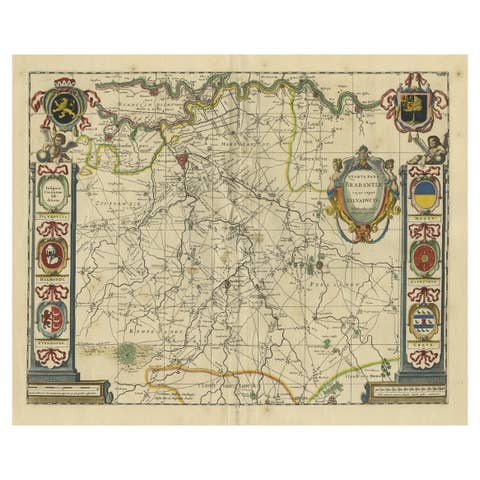
Decorative Antique Map of the Dutch Province of Noord-Brabant, ca.1640
1640 · € 2 750
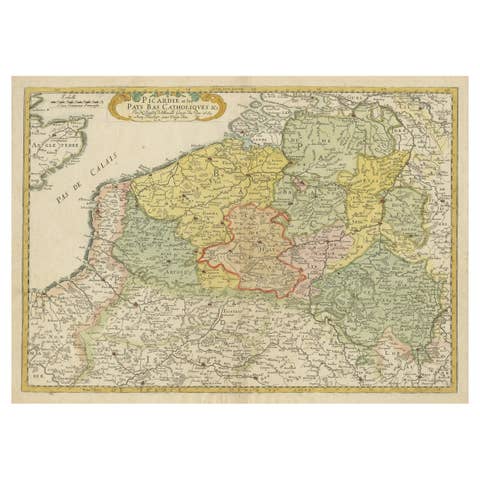
Detailed Regional Antique Map of Northwestern France and Catholic Belgium, 1648
1648 · € 660

Small Detailed Antique Map of France, with Decorative Title Cartouche, 1754
1754 · € 240
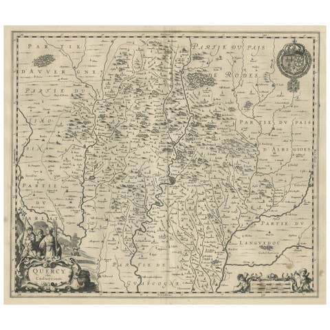
Decorative Antique Map of the Quercy Region in France, 1657
1657 · € 560
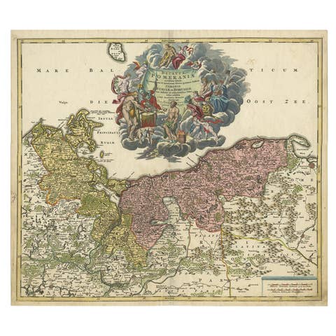
Regional Antique Map of the Baltic, Extending from Stralsund to Dantzig, ca.1720
1720 · € 890
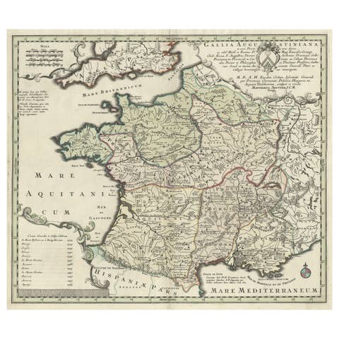
Large Antique Map of Gaul under Roman Rule, ca.1760
1760 · € 420
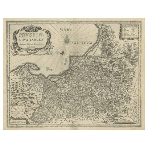
Antique Map of Prussia – Blaeu “Prussiae Nova Tabula”, Later Edition, c.1680
1680 · € 580
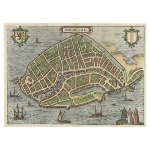
Beautiful Decorative Antique Map of the City of Dordrecht, the Netherlands, 1581
1581 · € 1 420
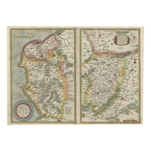
Antique Map of the Region of Boulogne and Peronne, France 'C.1590'
1590 · € 490
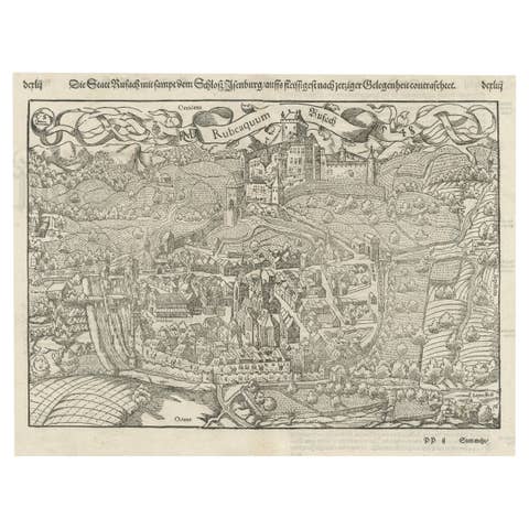
Original Antique Plan of Rouffach, France, with Chateau d'Isenbourgh, 1588
1588 · € 480
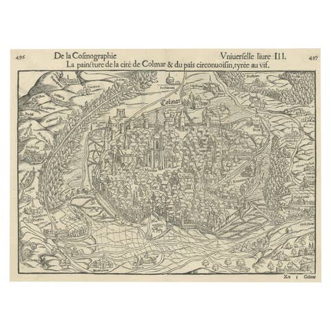
Original Antique Bird's-Eye View of Colmar, Alsace, France, 1552
1552 · € 660
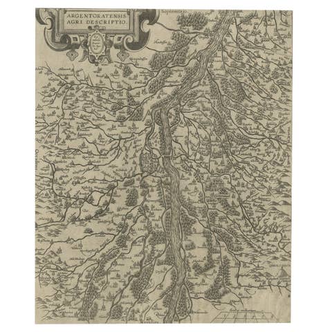
Original Antique Map of the Rhine, South and North of Strasbourg, Germany, 1608
1608 · € 320

Original Antique Map of the Bay and the Island of Arguin, Mauritania, 1747
1747 · € 260
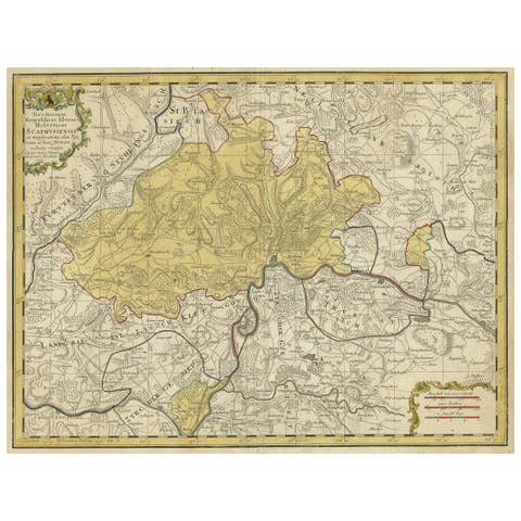
Original Hand-Colored Antique Regional Map of Switzerland, 1753
1753 · € 590
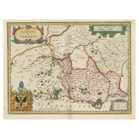
Decorative Antique Map of the Region of Cambrai, France, ca.1630
1630 · € 740
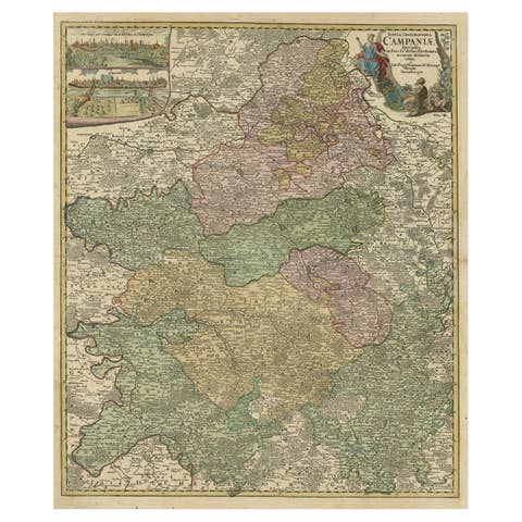
Old Map of Region Champagne-Ardenne with Reims, Troyes & Épernay in France, 1759
1759 · € 840
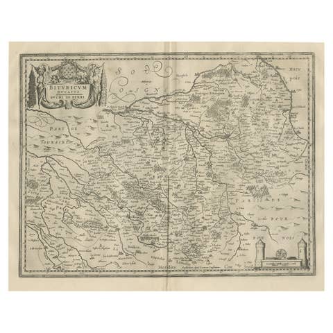
Decorative Antique Map of the Berry Region, France, 1657
1657 · € 560
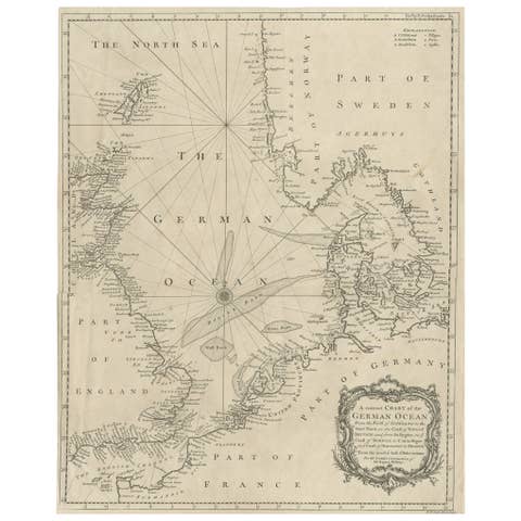
Antique Map of the North Sea From the English Channel to Norway & Sweden, 1746
1746 · € 490
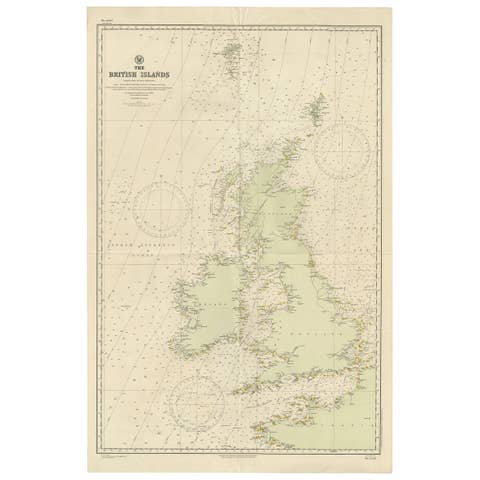
Large Sea Chart of the British Islands, 1918
1918 · € 560
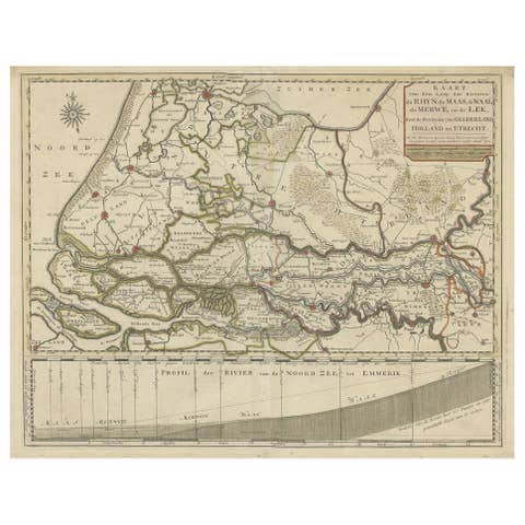
Detailed Map of Dutch Rivers, with the Rhine, Maas, de Merwe en de Lek, C.1750
1750 · € 560
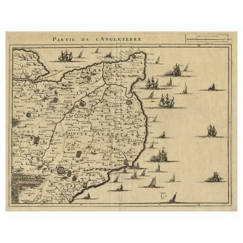
Uncommon Antique Map of the English Channel Coastline, ca.1709
1709 · € 540
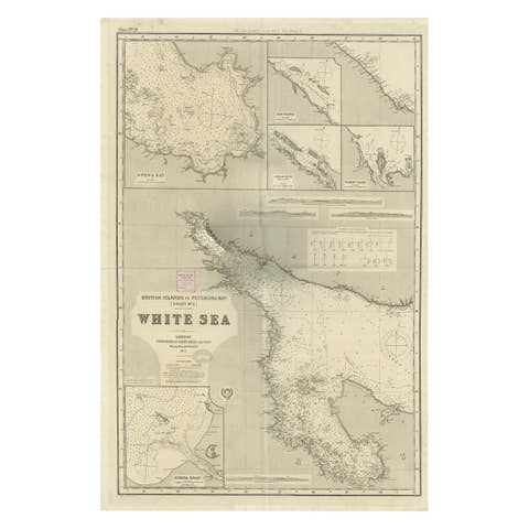
Uncommon, Large Map of the British Islands to Petshora Bay, 1891
1891 · € 1 160
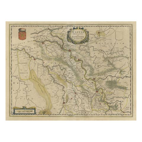
Map of the Duchy Clivia & Ravestein, Brabant in The Netherlands & Germany, 1635
1635 · € 750

Antique Map of Prussia by David Custodis, Paper, Circa 1630, Germany
1630 · € 680
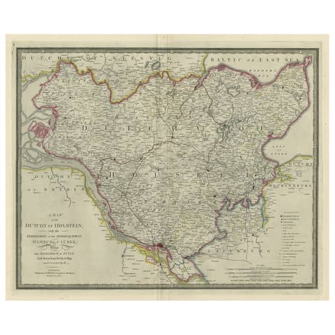
Large Original Antique Map of the Dutchy of Holstein, Germany, ca.1840
1840 · € 840
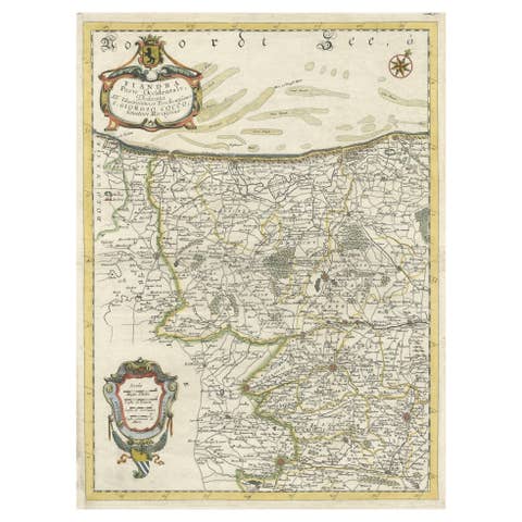
Decorative Original Antique Map of the North of Flanders, Belgium, 1697
1697 · € 920
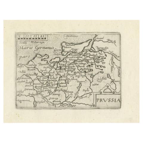
Extremele Rare, Original Miniature Map of Prussia, ca.1640
1640 · € 880
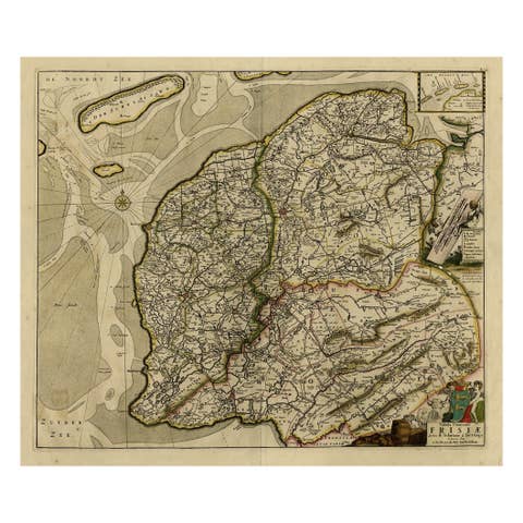
Map of Friesland with Terschelling, Vlieland, Ameland En Schiermonnikoog, C.1670
1670 · € 730

Old Map of the Province of Groningen, the Netherlands & inset of Islands, C.1680
1680 · € 1 250
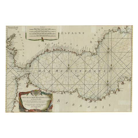
Large Decorative Antique Map of the Mediterranean, ca.1770
1770 · € 1 140

Antique Map of Northamptonshire by Speed, 1676
1676 · € 550