Maps & PrintsBartele Gallery · Langweer
Home / Antique Maps / Sea Charts

Sea Charts · 18th century

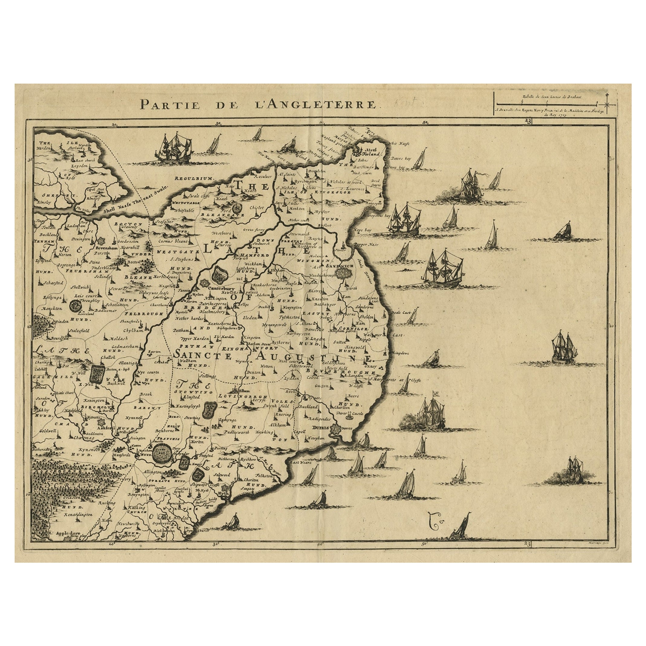
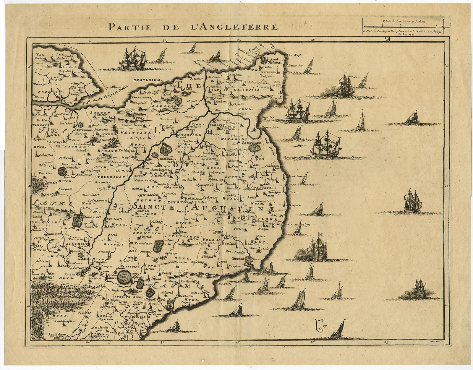
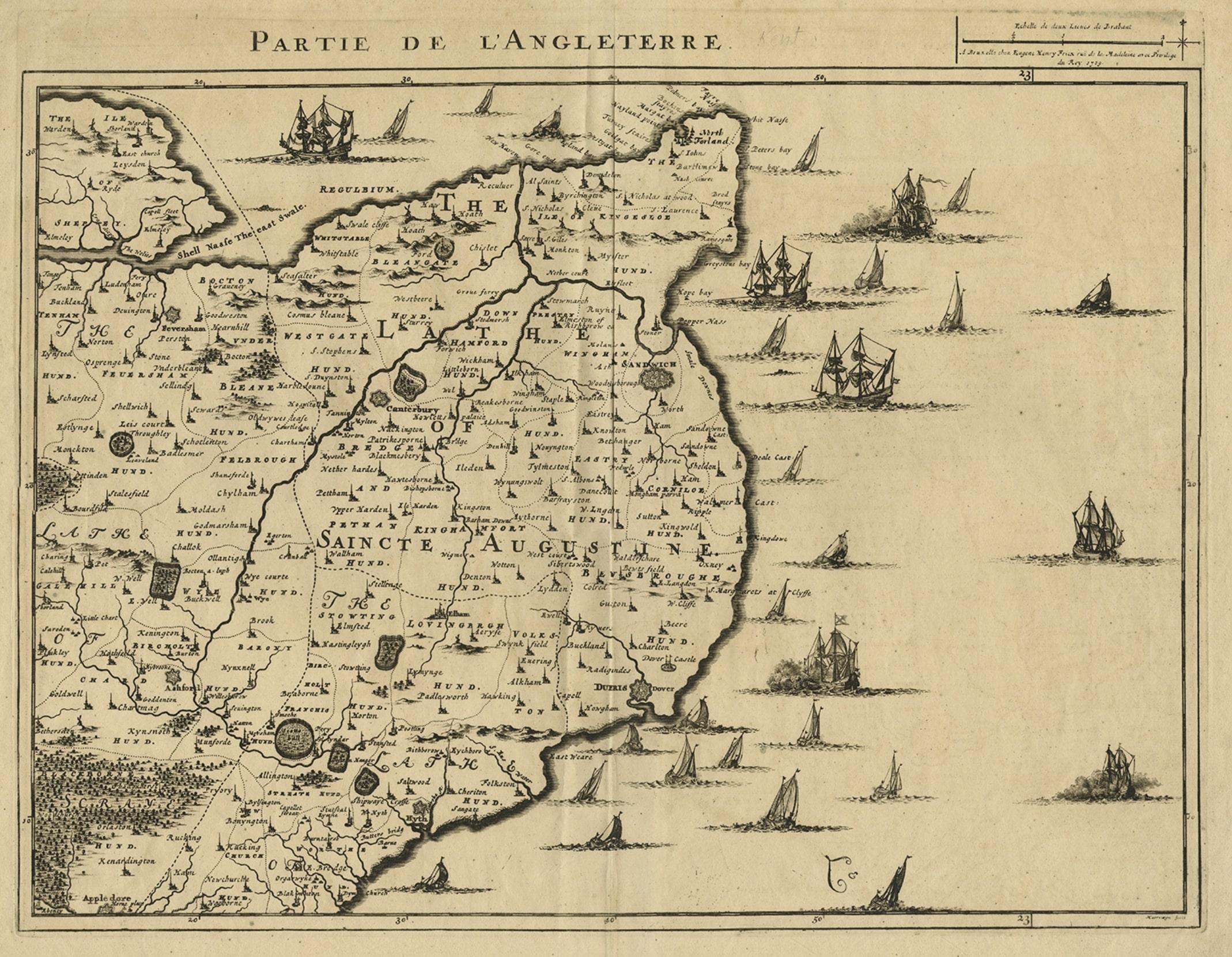
Uncommon Antique Map of the English Channel Coastline, ca.1709

€ 540

Original antique · The actual sheet photographed · Certificate of authenticity on request · Sold unframed · Worldwide shipping from € 15 (rates)

Date
1709
Sheet size
48 × 61.4 cm (18.9 × 24.2 in)
Condition
Good
Reference
PC-58945

Condition

Some crinkles and soft creases. Small hole bottom margin. A few small spots. Original middle fold as issued. General age-related toning and/or occasional minor defects from handling. Blank verso. Please review the images for further condition details.
About this sheet

Antique map titled 'Partie de L'Angleterre' Uncommon map of the English Channel coastline with many boats on the sea. Source unknown, to be determined.

Artists and Engravers: Made by 'Jacobus Harrewijn' after 'Henry Fricx'. Jacobus Harrewijn (1660-1727): Dutch engraver and etcher of topographical and decorative prints. Born in Amsterdam, died in Brussels. He was a scholar of the famous Romeyn de Hooghe. Married in Amsterdam in 1683. He became a master in the guild in Brussels in 1695 and he is known to have worked in The Hague in 1727.

More from Sea Charts

Ask about this sheet

Uncommon Antique Map of the English Channel Coastline, ca.1709
1709 · Ref. PC-58945 · € 540
We reply by email, usually within one working day.