Maps & PrintsBartele Gallery · Langweer
Home / Antique Maps / Europe / Western Europe / France

France · 17th century

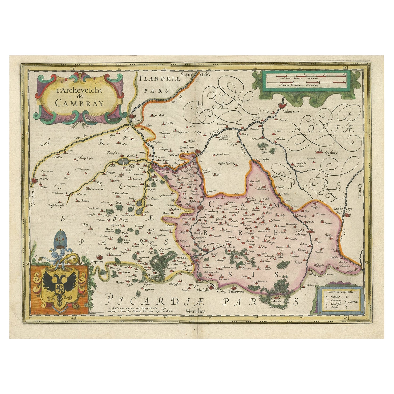
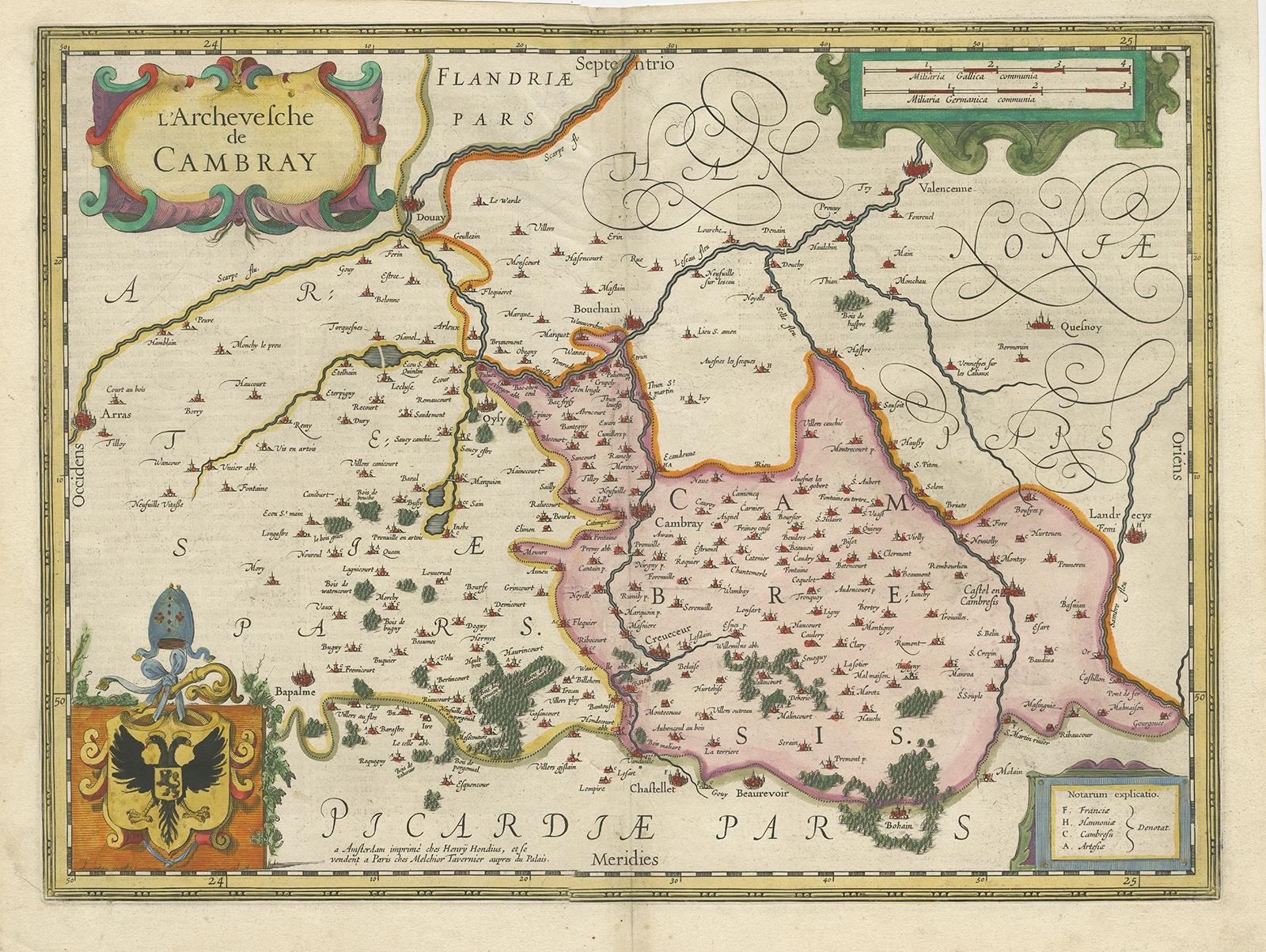
Decorative Antique Map of the Region of Cambrai, France, ca.1630

€ 740

Original antique · The actual sheet photographed · Certificate of authenticity on request · Sold unframed · Worldwide shipping from € 15 (rates)

Date
1630
Sheet size
104.14 × 137.16 cm (41.0 × 54.0 in)
Condition
Good
Reference
BG-12523-2

Condition

General age-related toning. Original folding line (repaired). Some wear, German text on verso. Please review the images for further condition details.
About this sheet

Antique map titled 'l'Archevesche de Cambray'. Decorative map of the region of Cambrai, France. Includes the cities of Cambrai, Valencienes, Douai, and Bouchain.

Artists and Engravers: Henricus Hondius (1597-1651) was one of the famous Dutch “Golden Age” cartographers. He initially helped his father and brother to expand their family business of map making. Later in 1621, he opened his own business firm in the city of Amsterdam.

More from France

Ask about this sheet

Decorative Antique Map of the Region of Cambrai, France, ca.1630
1630 · Ref. BG-12523-2 · € 740
We reply by email, usually within one working day.