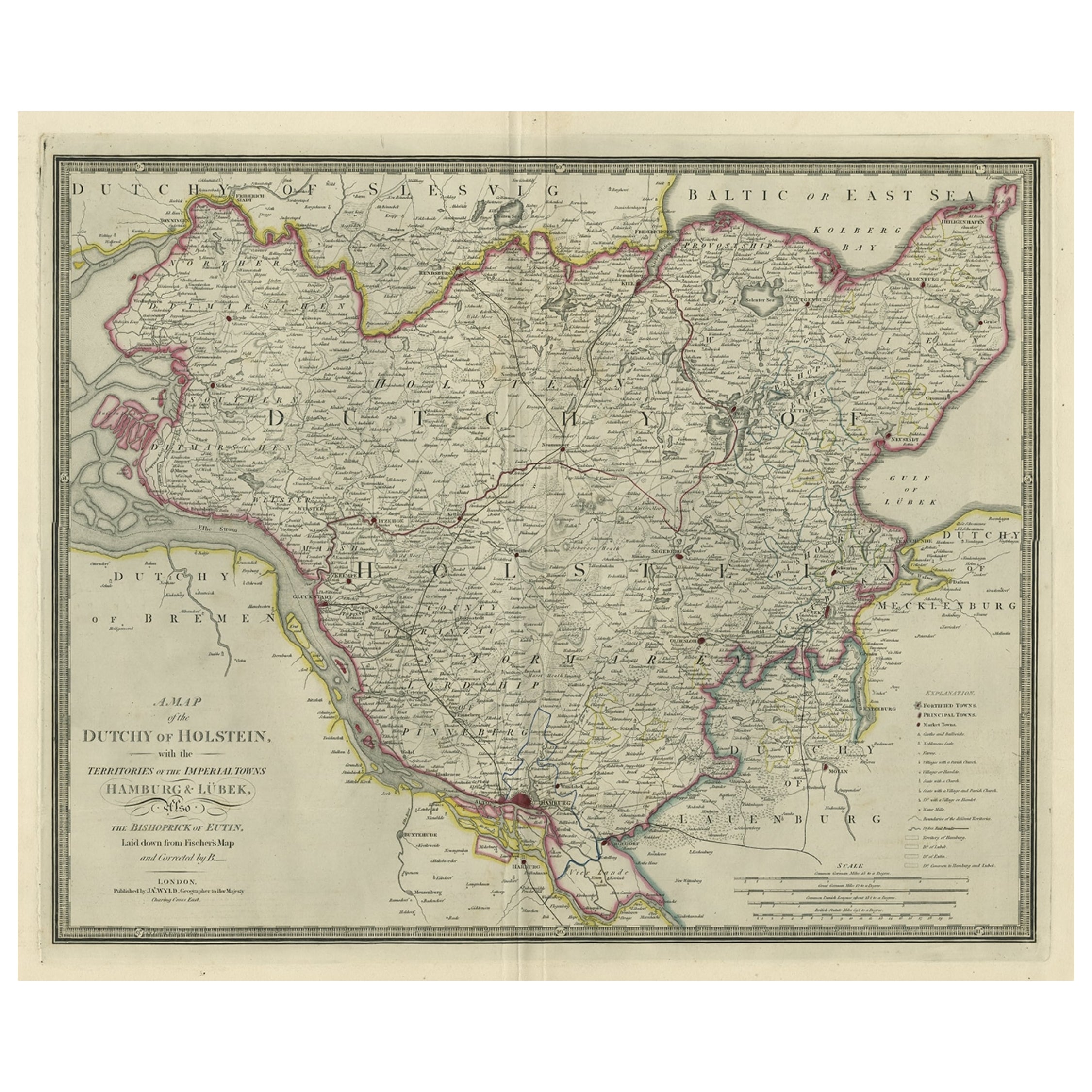
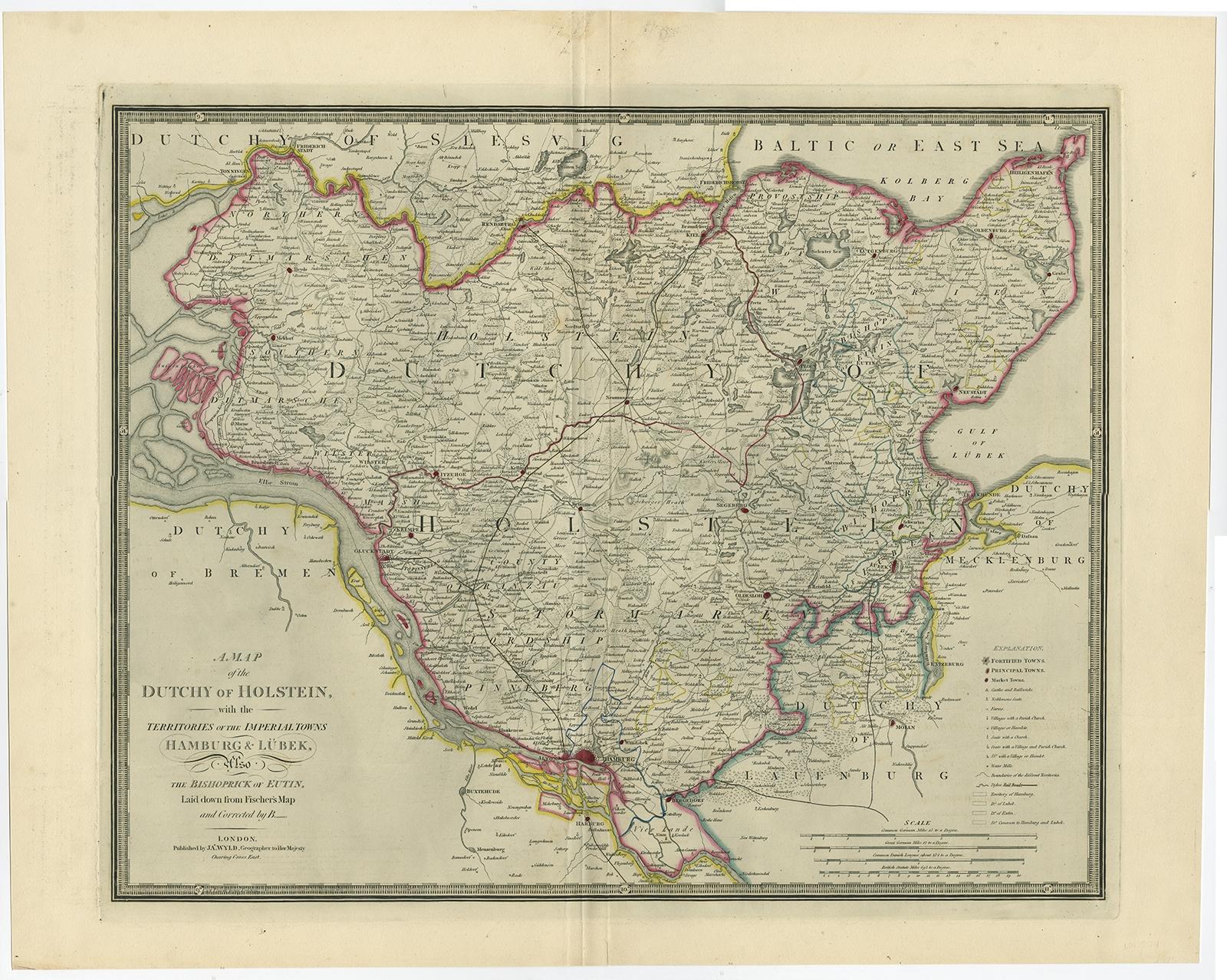
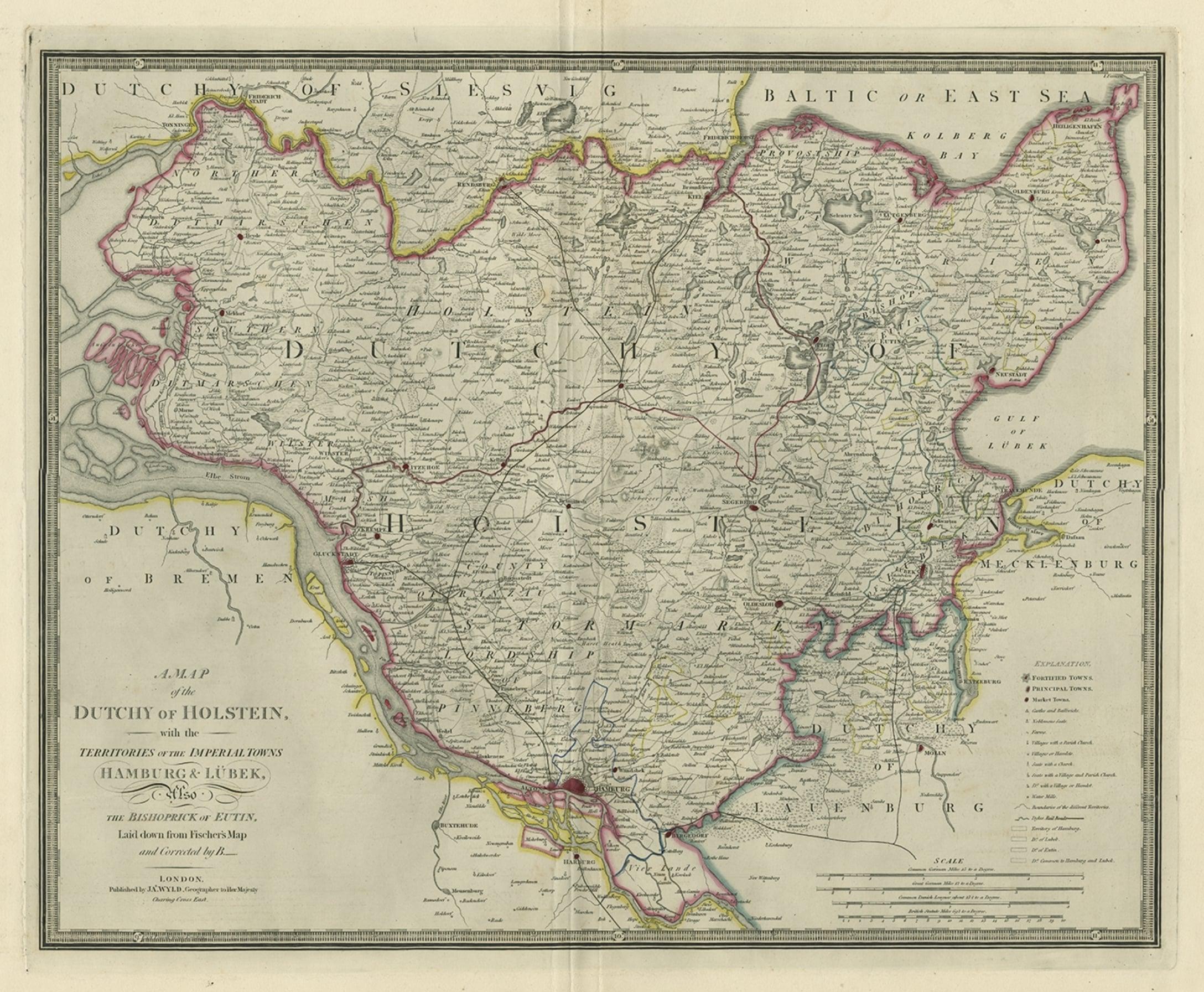
Large Original Antique Map of the Dutchy of Holstein, Germany, ca.1840
€ 840
Original antique · The actual sheet photographed · Certificate of authenticity on request · Sold unframed · Worldwide shipping from € 15 (rates)
Date
1840
Sheet size
58.5 × 72 cm (23.0 × 28.3 in)
Condition
Good
Reference
PC-58934
Condition
Given age. Small tear bottom margin, not affecting image. A few minor unobtrusive spots. Original middle fold as issued. General age-related toning and/or occasional minor defects from handling. Please study scan carefully.
About this sheet
Antique map titled 'A Map of the Dutchy of Holstein, with the Territories of the Imperial Towns Hamburg & Lubek, Also The Bishoprick of Eutin, Laid down from Fischer's Map (..)'. Scarce regional map of Northern Germany, focused on the Duchy of Holstein and towns of Hamburg and Lubeck. Beautifully engraved to show fortified towns, principal towns, market towns, castles, noblemen's seats, farms, villages, windmills, dykes and topography. Source unknown, to be determined.
Artists and Engravers: James Wyld (1812–1887) was a British geographer and map-seller, best known for Wyld's Great Globe. He was successor to William Faden, one of the luminaries of late eighteenth century publishing in England. Wyld maintained the high standard of graphic and factual excellence that had been established by his predecessor and his maps are among the finest published in the early nineteenth century.