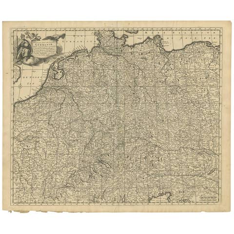
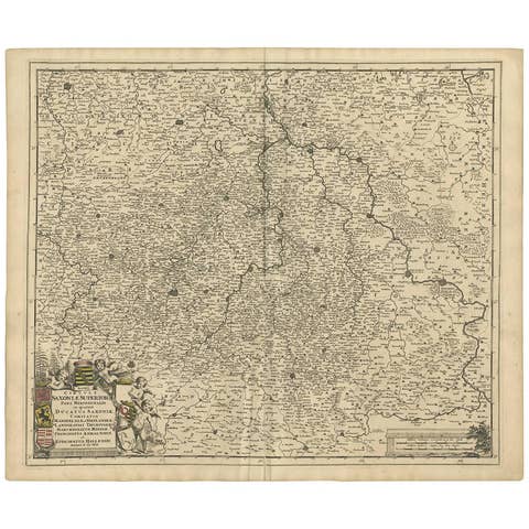
Rhine Splendor: Antique Map of the Lower Rhine Region, circa 1680
€ 960
Original antique · The actual sheet photographed · Certificate of authenticity on request · Sold unframed · Worldwide shipping from € 15 (rates)
Date
1680
Sheet size
53.4 × 61.5 cm (21.0 × 24.2 in)
Condition
Good
Reference
PCT-58030
Condition
Good, given age. Minor paper separation bottom middle fold in margin; backed. Vertical crease left and right of middle fold. A few spots in the margins. Original middle fold as issued. General age-related toning and/or occasional minor defects.
About this sheet
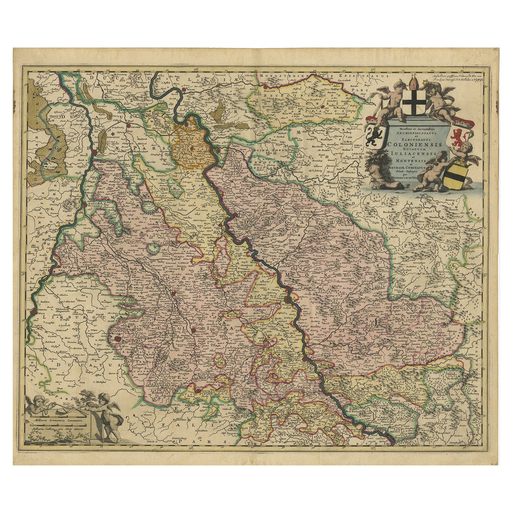
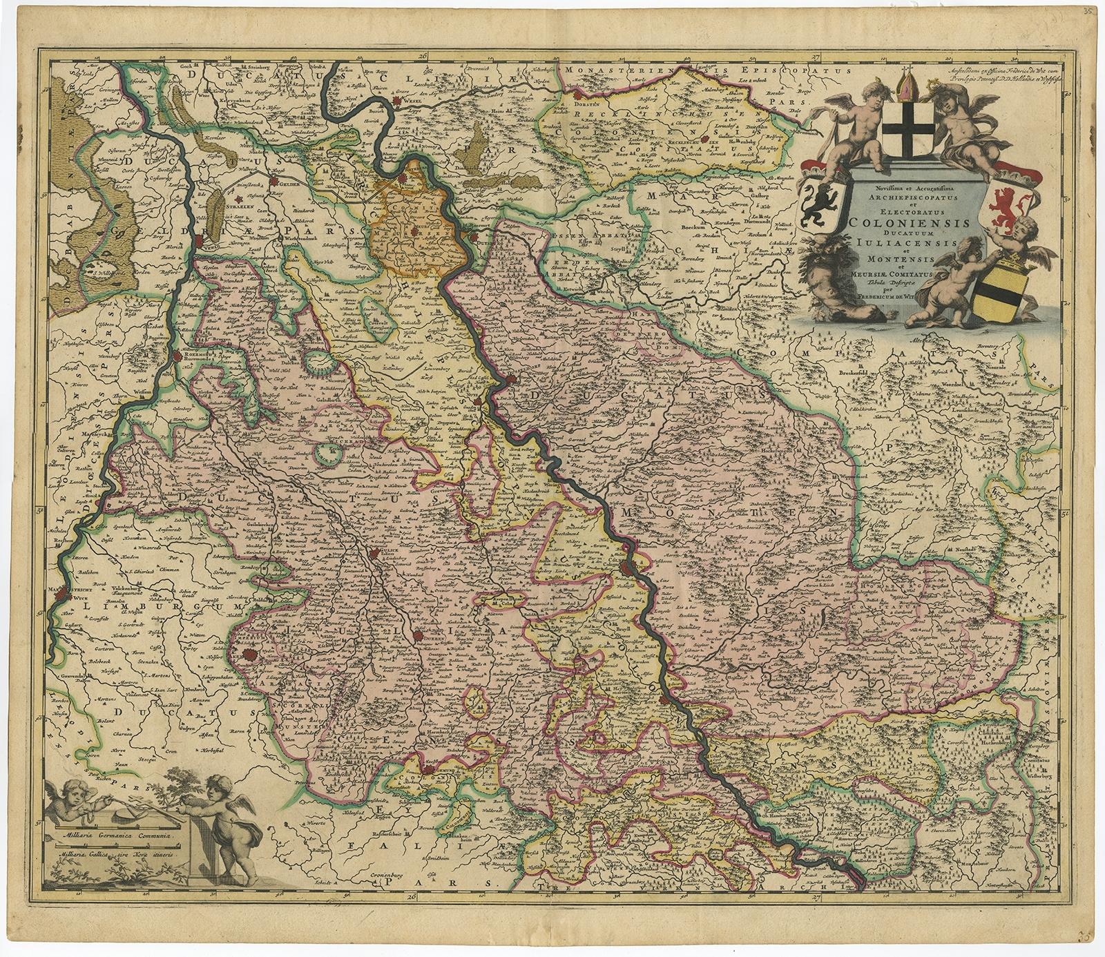
The antique map titled 'Novissima et Accuratissima Archiepiscopatus et Electoratus Coloniensis Ducatuum Iuliancensis et Montensis et Meursiae Comitatus' is a handsome and detailed map of the lower Rhine region in Germany, with a focus on the city of Cologne. Here are the key details:
1. **Geographic Coverage**: - The map provides a comprehensive view of the lower Rhine region in Germany. - It covers the territories of the Archbishopric and Electorate of Cologne, the Duchy of Julich (Jülich), the Duchy of Berg (Montensis), and the County of Meurs (Meursiae).
2. **Cartographic Details**: - The map is fully engraved with precise details, including the locations of towns, political boundaries, rivers, and forests. - It offers a valuable historical representation of the geography of the region during the period in which it was created.
3. **Cartouches**: - The map is embellished with two cartouches: - The title cartouche features putti (cherubic figures) and coats of arms, adding decorative elements to the map. - Below, there is another cartouche that includes a scale and more putti, enhancing the map's aesthetic appeal.
4. **Attribution**: - The map is attributed to 'Frederick de Wit,' who likely played a role in its production. However, the map was made after the work of an anonymous artist.
5. **Source**: - The exact source of this map, such as the original publication or source material used, may require further historical research to determine.
Overall, this antique map serves as a valuable historical document that provides insights into the lower Rhine region of Germany during the period it represents. Its detailed cartography and decorative elements make it a notable example of cartographic artistry from the era in which it was created.Frederik/Frederick de Wit (Amsterdam 1630-1706), was a famous engraver and publisher in Amsterdam. He acquired many of the printing plates of Blaeu and Janssonius when it came to auction. His map were very popular because of the quality of the engravings and the beautiful colouring. After his death his work was re-issued by Pieter Mortier and Covens & Mortier.