Antique Maps of Europe
2,956 original sheets
Western Europe 1908Northern Europe 146Central Europe 88Eastern Europe 102South-East Europe 135Southern Europe 275Europe as a Whole 169
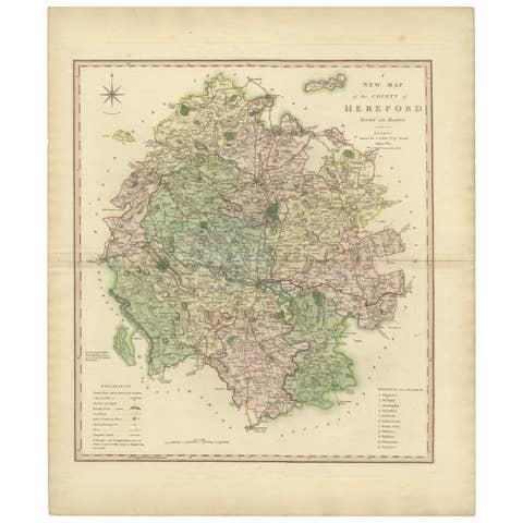
Original Hand-Colored Antique Map of the County of Hereford in England, 1804
1804 · € 325
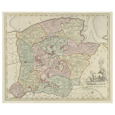
Antique Map of Oostergo, Part of Friesland, the Netherlands. Published in 1744
1744 · € 590
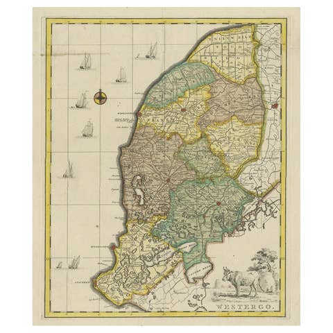
Original Copper-Engraving of Westergo, Part of Friesland, the Netherlands, 1744
1744 · € 640

Decorative Antique Map of Germany, 1846
1846 · € 230
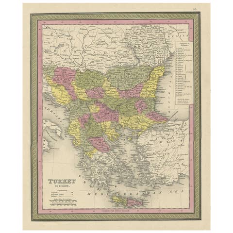
Old Colorful Decorative Map of Turkey in Europe, 1846
1846 · € 230
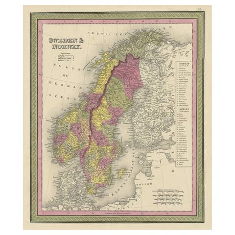
Old Colorful Map of Sweden and Norway, 1846
1846 · € 220
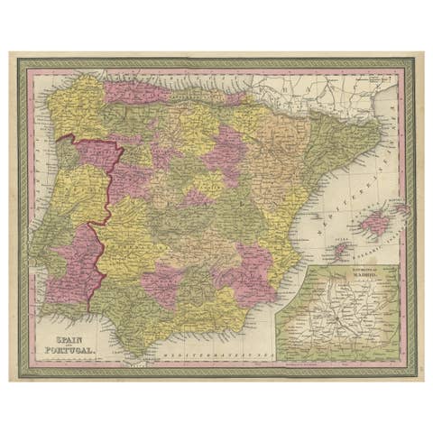
Old Map of Spain and Portugal, with an Inset Map of the Region of Madrid, 1846
1846 · € 220

Engraved Map of Northern England, Focusing on Northumberland, 1658
1658 · € 440
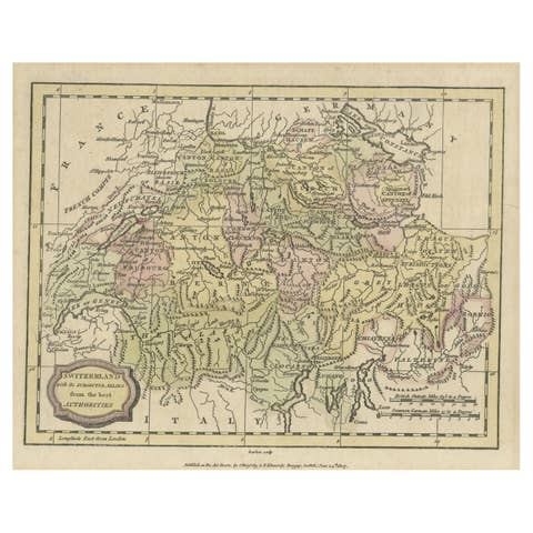
Small Original Antique Map of Switzerland and Surroundings, 1807
1807 · € 130
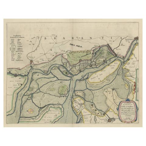
Original Map of the Military Situation After the Dutch Blockade of Antwerp, 1648
1648 · € 670
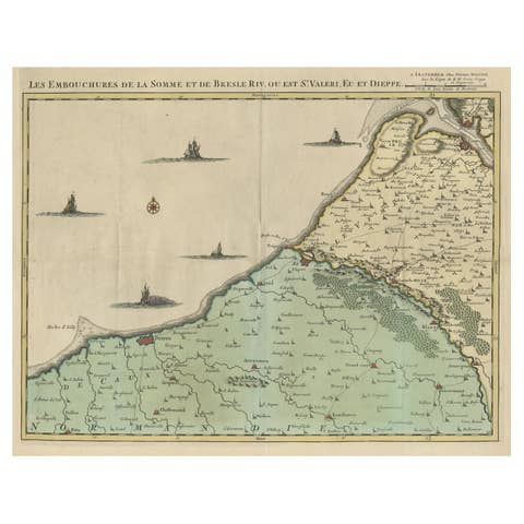
Beautiful Antique Map of the French Coast, from St. Valeri to Dieppe, 1720
1720 · € 1 100
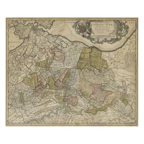
Original Colored Antique Map of Utrecht & Surroundings, The Netherlands, c1690
€ 890
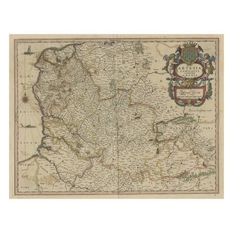
Original Hand-Colored Antique Map of Artois or Artesia, France, ca.1650
1650 · € 340
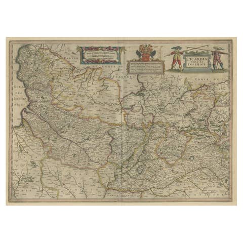
Detailed Original Antique Map of the Picardy Region of France, 1657
1657 · € 490
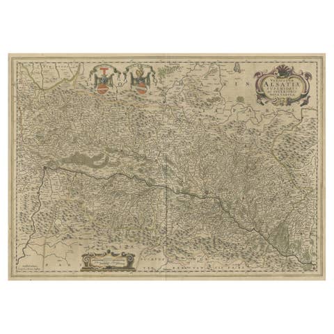
Map of the Alsace, France Incl the Rhine from Phillipsburg to South Basle, c1650
€ 360
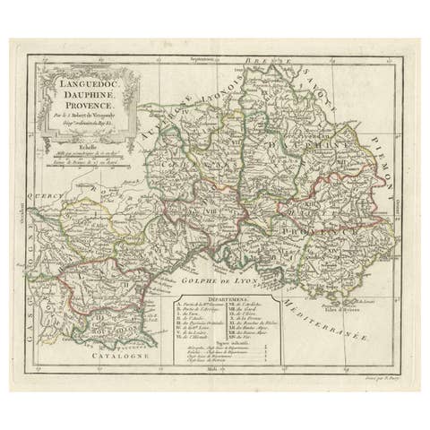
Beautiful Antique Map of Southeastern France with Decorative Cartouche, ca.1790
1790 · € 380
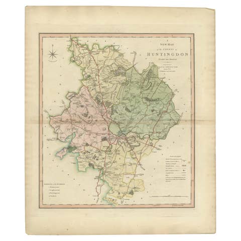
Antique Decorative County Map of Huntingdonshire, England, 1804
1804 · € 325

Antique Decorative County Map of Lincolnshire, England, 1804
1804 · € 325

Antique Decorative and Detailed County Map of Cumberland, England, 1804
1804 · € 325
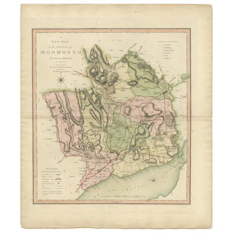
Antique County Map of Monmouthshire, England, circa 1804
1804 · € 325

Antique County Map of Leicestershire, England, 1804
1804 · € 325

Antique County Map of Derbyshire, England, 1804
1804 · € 325
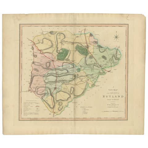
Antique Hand-Colored County Map of Rutland, England, 1804
1804 · € 325
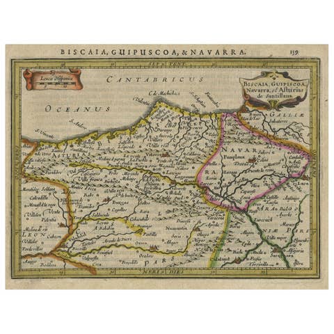
Charming Map of Northeastern Spain with the Areas of Pamplona & Valladolid, 1634
1634 · € 440
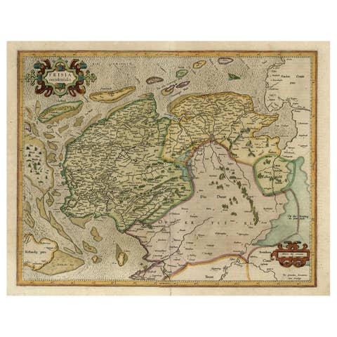
Old Map of the Dutch Provinces of Friesland and Groningen, The Netherlands, 1604
1604 · € 1 150
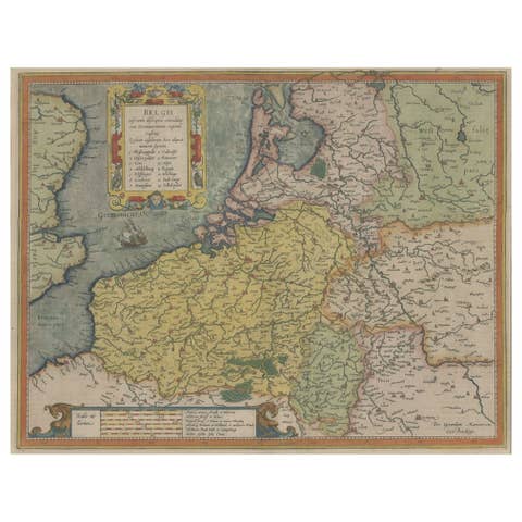
Original Antique Map the Imperial States of the Habsburg Netherlands, 1609
1609 · € 1 250
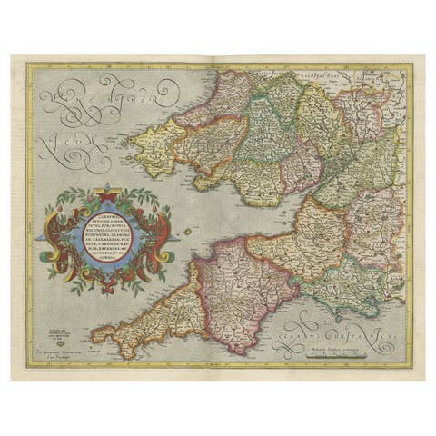
Original Antique Map of the English counties Cornwall, Devon, Dorset, etc, 1633
1633 · € 1 150
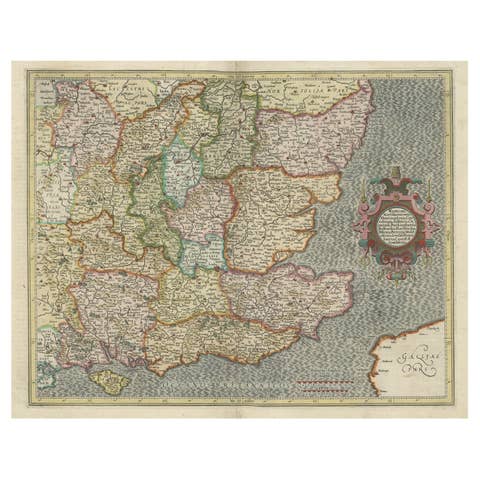
Original Old Map of South East England Incl London, Oxford, Cambridge, Etc, 1633
1633 · € 1 150
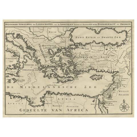
Scarce Map of the Mediterranean and Parts of Europe, Africa & Middle East, 1725
1725 · € 470
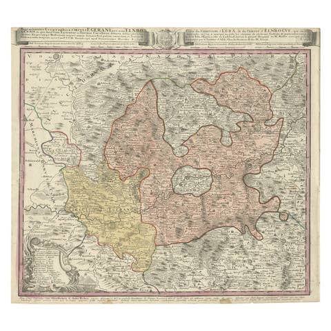
Antique Map of the Region of Elbogen & Eger, Czech Republic & Hungary, 1742
1742 · € 540
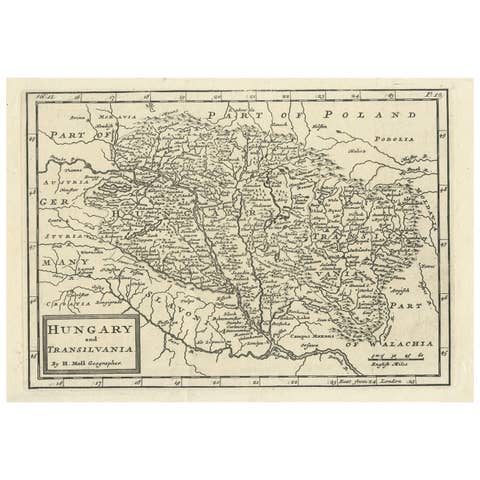
Original Antique Map of Hungary and Transylvania 'Modern Day Romania', C.1710
1710 · € 290
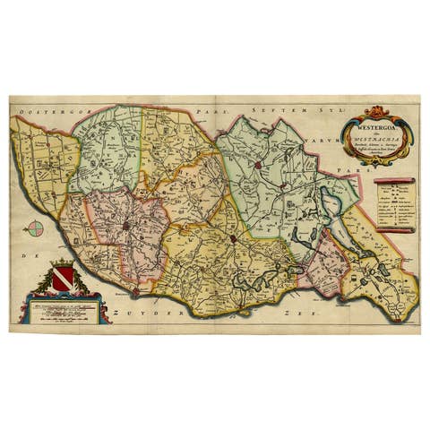
Map of the Shire of Westergo in the Province of Friesland, the Netherlands, 1664
1664 · € 840
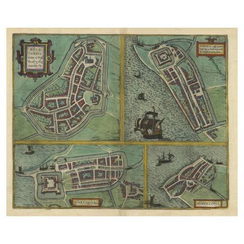
Frisian Cities Bolsward, Stavoren, Harlingen & Hindelopen, The Netherlands, 1598
1598 · € 1 150
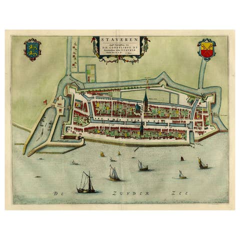
Original Antique Map of the City of Stavoren, Friesland, The Netherlands, 1649
1649 · € 1 150
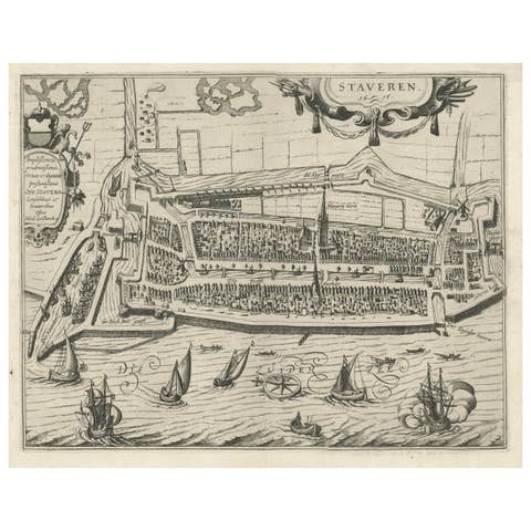
Rare Old Map of the City of Stavoren, Friesland, the Netherlands, 1616
1616 · € 850
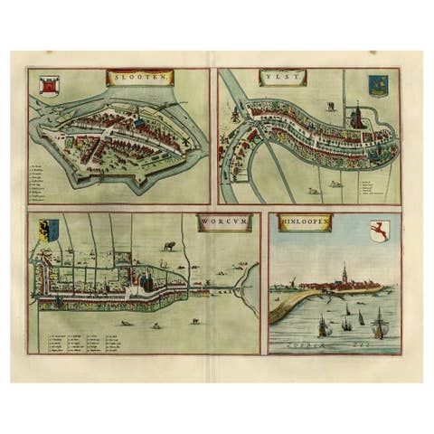
Antique Map of Frisian Cities Sloten, Ylst, Workum and Hindelopen by Blaeu, 1652
1652 · € 1 150
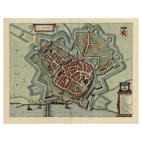
Original Map with Bird's-Eye View of Zutphen in the Netherlands by Blaeu, 1649
1649 · € 1 250
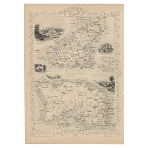
Original Antique Map of the Channel Islands, Incl. Decorative Vignettes, 1851
1851 · € 450
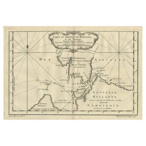
Map of the Russian Islands of Novaya Zemlya and Pechorskaya Guba, 1758
1758 · € 218
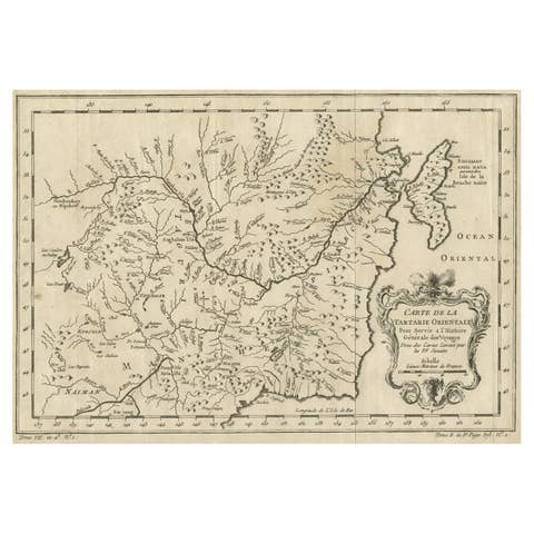
Original Antique Map of Tartary 'Northern China & Far Eastern Russia', 1757
1757 · € 290
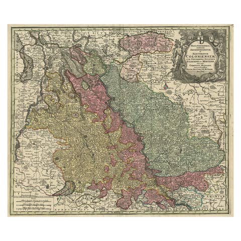
Old Map of the Rhine & German Cities Incl Düsseldorf, Bonn, Köln, Etc., c.1730
1730 · € 980
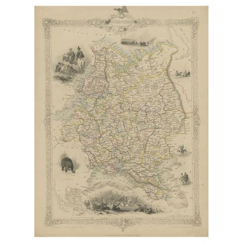
Map of Russia with Vignettes of the Neoskoi Prospect, St. Petersburg, ca.1851
1851 · € 299
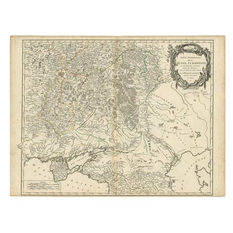
Detailed Antique Map of the Southern Part of European Russia and Ukraine, 1752
1752 · € 760

Striking Large Format Antique Map of Southeastern France, 1799
1799 · € 650
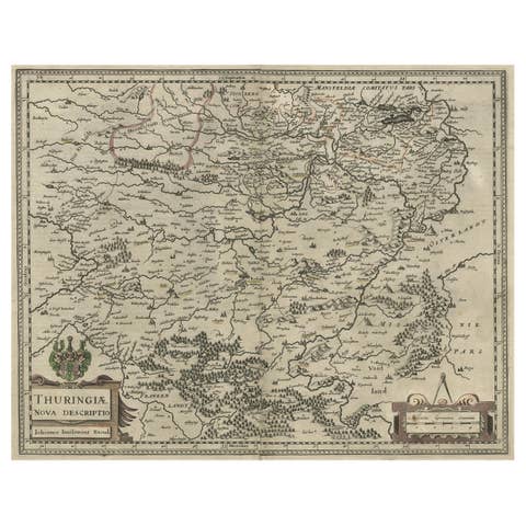
Detailed Original Antique Map of Thuringia, Germany by J. Janssonius, ca.1650
1650 · € 670
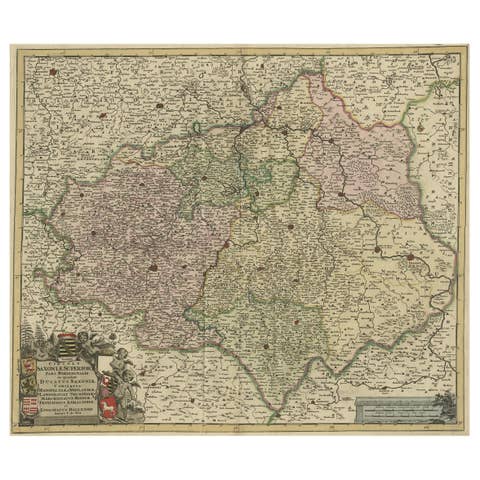
Old Detailed Map of the Historical Regions of the Duchy of Saxony, Germany, 1680
1680 · € 720
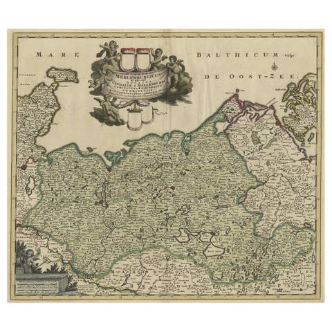
A Handsome & Detailed Map of the Duchy of Mecklenburg & Pomerania, Germany, 1680
1680 · € 740
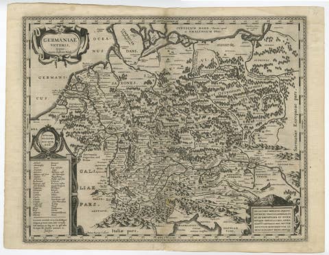
Original Rare Antique Map of the Ancient German Empire in Northern Europe, c1650
€ 660