Detailed Map of Dutch Rivers, with the Rhine, Maas, de Merwe en de Lek, C.1750
€ 560
Original antique · The actual sheet photographed · Certificate of authenticity on request · Sold unframed · Worldwide shipping from € 15 (rates)
Date
1750
Sheet size
41 × 52 cm (16.1 × 20.5 in)
Reference
BG-11089
Condition
Very good, general age-related toning. Few small tears, contemporary hand coloring. Please review the images for further condition details.
About this sheet
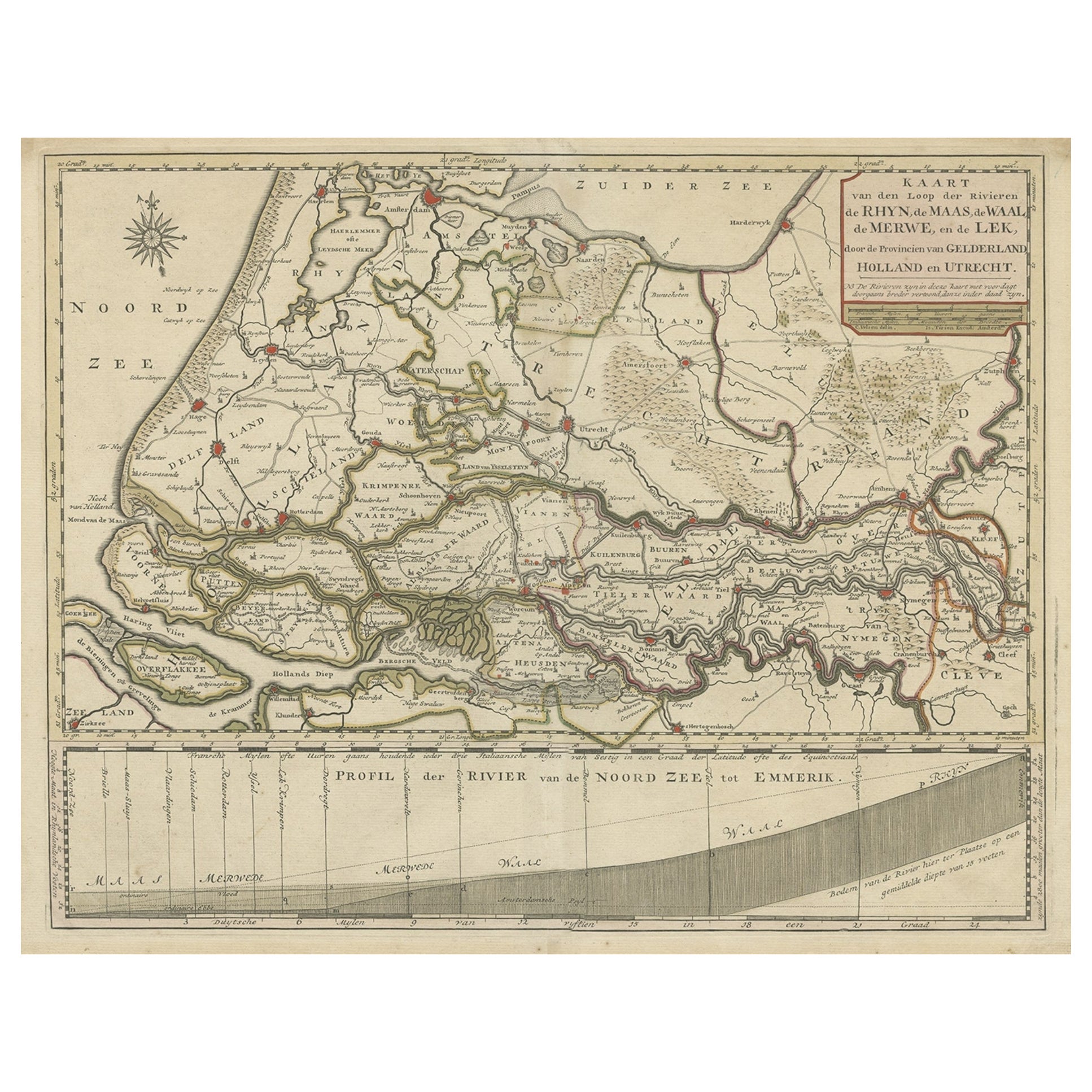
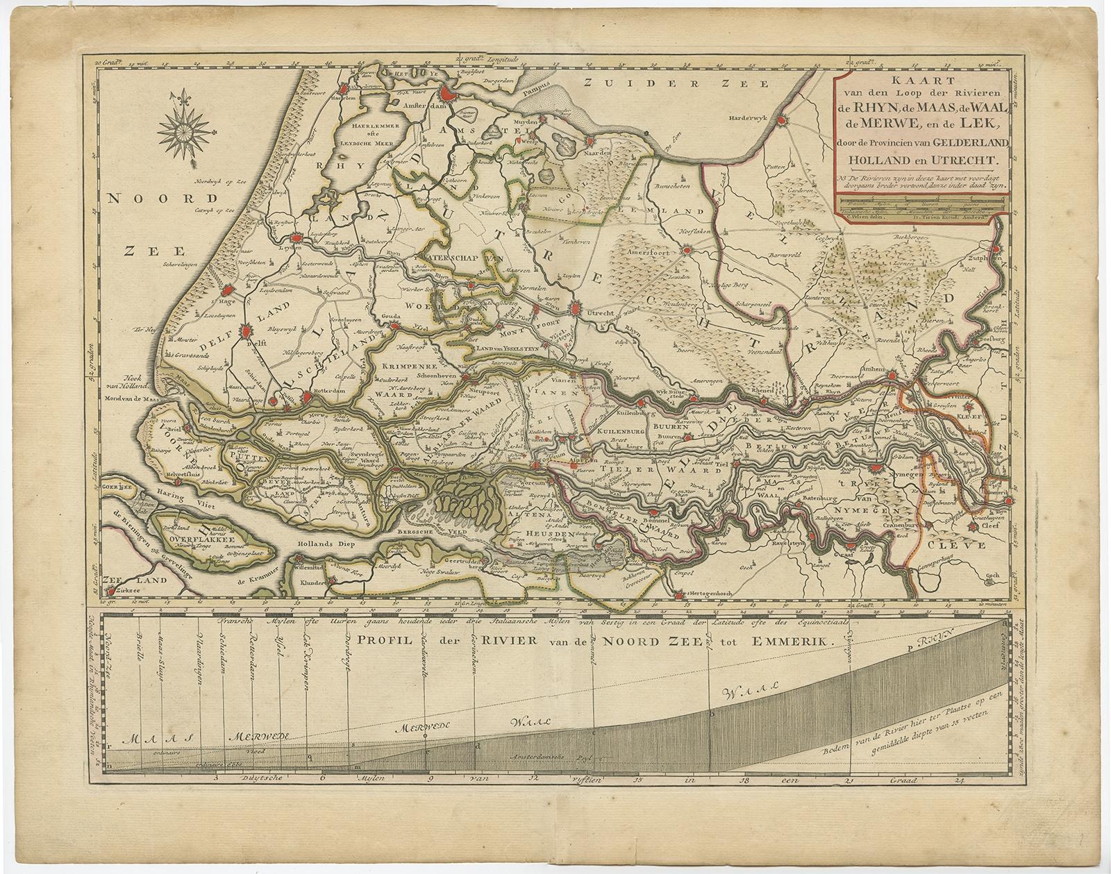
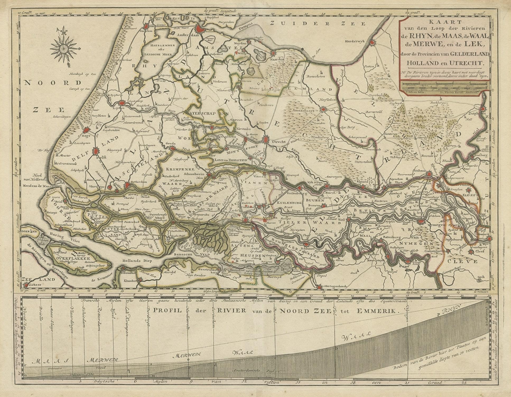
Antique map titled 'Kaart van den Loop der Rivieren de Rhyn, de Maas, de Waal, de Merwe en de Lek, door de Provincien van Gelderland, Holland en Utrecht'.
Detailed map of the center of the Netherlands, with the Rhine, Maas, de Merwe en Lek rivers. With good detail of the interior showing villages, fortifications and towns. Below the map, a scheme of altitudes of the different rivers from the Dutch/German border till the North Sea.
Artists and Engravers: Isaak Tirion, a Dutch publisher in Amsterdam, was born 1705. He produced serveral Atlases and Dutch town plans.