Maps & PrintsBartele Gallery · Langweer
Home / Antique Maps / Europe / Western Europe / The Netherlands & Belgium

The Netherlands & Belgium · 17th century

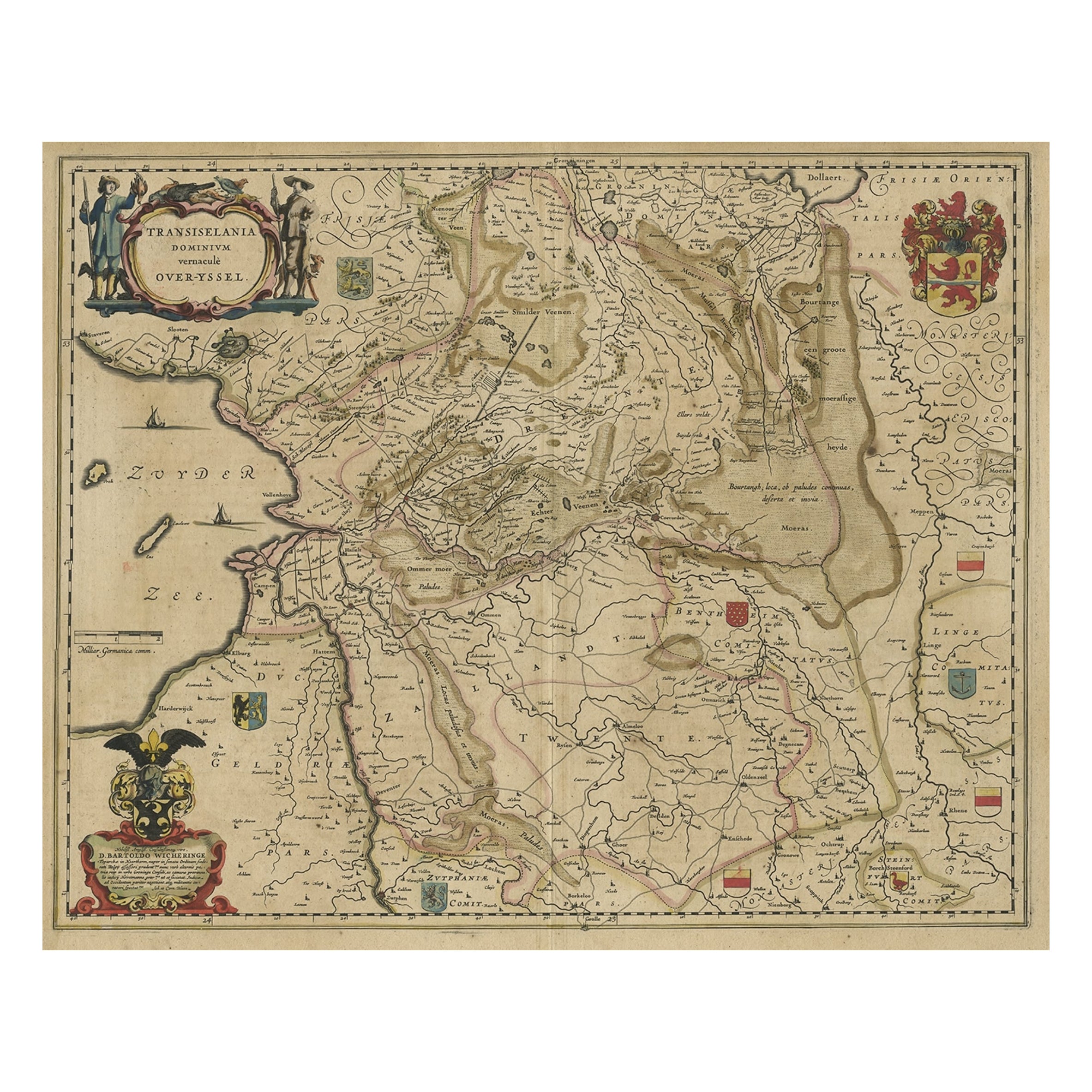
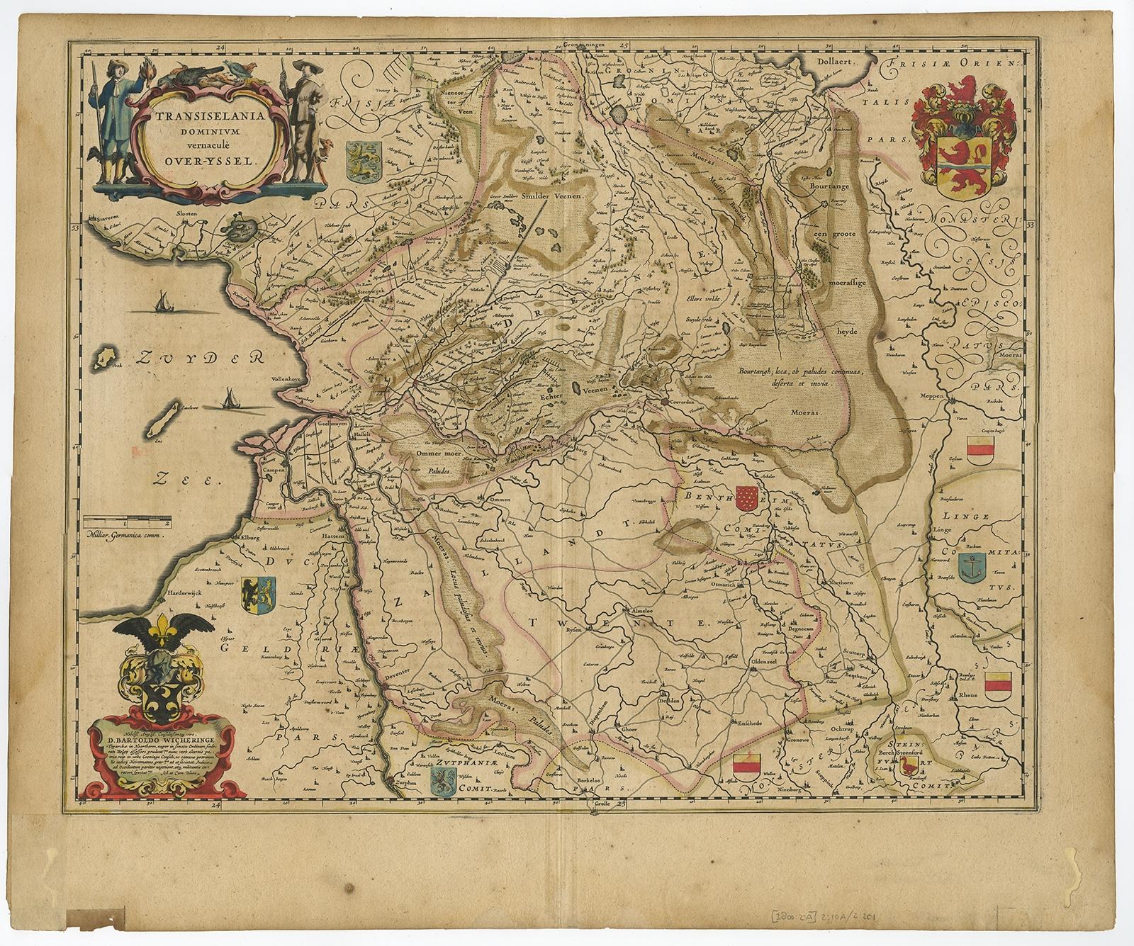
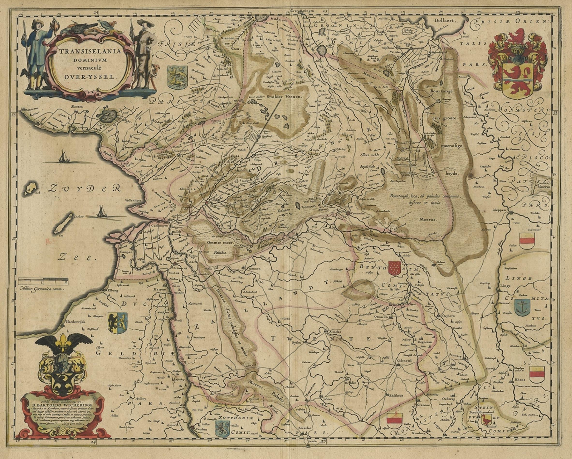
Original Antique Map of the Dutch Provinces of Overijssel and Drenthe, 1635

€ 480

Original antique · The actual sheet photographed · Certificate of authenticity on request · Sold unframed · Worldwide shipping from € 15 (rates)

Date
1635
Sheet size
49.3 × 59 cm (19.4 × 23.2 in)
Condition
Good
Reference
PC-58063

Condition

/Fair. Slightly browned. A few spots. Closed wormholes in the lower margin. Top margin with a small tear in the middle fold, just outside image. Minor paper loss lower left margin. Middle fold as issued. Study image carefully.
About this sheet

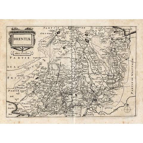
Antique map titled 'Transiselania Dominium vernacule Over-Yssel.' - Map of the Dutch Provinces of Overijssel and Drenthe. Dedicated to Mr. Bartold Wicheringe by Joan and Cornelis Blaeu. With many coats of arms and two beautiful cartouches. Source unknown, to be determined.

Artists and Engravers: Made by 'Joan and Cornelis Blaeu' after an anonymous artist. Willem Janszoon Blaeu was born 1571 in Alkmaar. He was trained from 1594 to 1596 by the famous danish astronomer Tycho Brahe. 1599 he went to Amsterdam and founded a business as globe maker. Later he started producing map and sea charts, including his first world map in 1605. In 1633 he was appointed Hydrographer for the Dutch East India Company (VOC). His most famous work was the "Atlas Novus" or "Theatrum Orbis Terrarum sive Atlas Novus" of 1635, which was published until 1655 in total six volumes. After Blaeu's death in 1638 his sons Joan and Cornelis continued the businees and finished the "Atlas Novus" and started an even larger work, the "Atlas Maior", which reached 12 volumes. In 1672 a fire destroyed the printing house and a year later Joan died. Some of the surviving plates where bought by F. de Wit and Schenk & Valk. The business was closed finally in 1695.

More from The Netherlands & Belgium

Ask about this sheet

Original Antique Map of the Dutch Provinces of Overijssel and Drenthe, 1635
1635 · Ref. PC-58063 · € 480
We reply by email, usually within one working day.