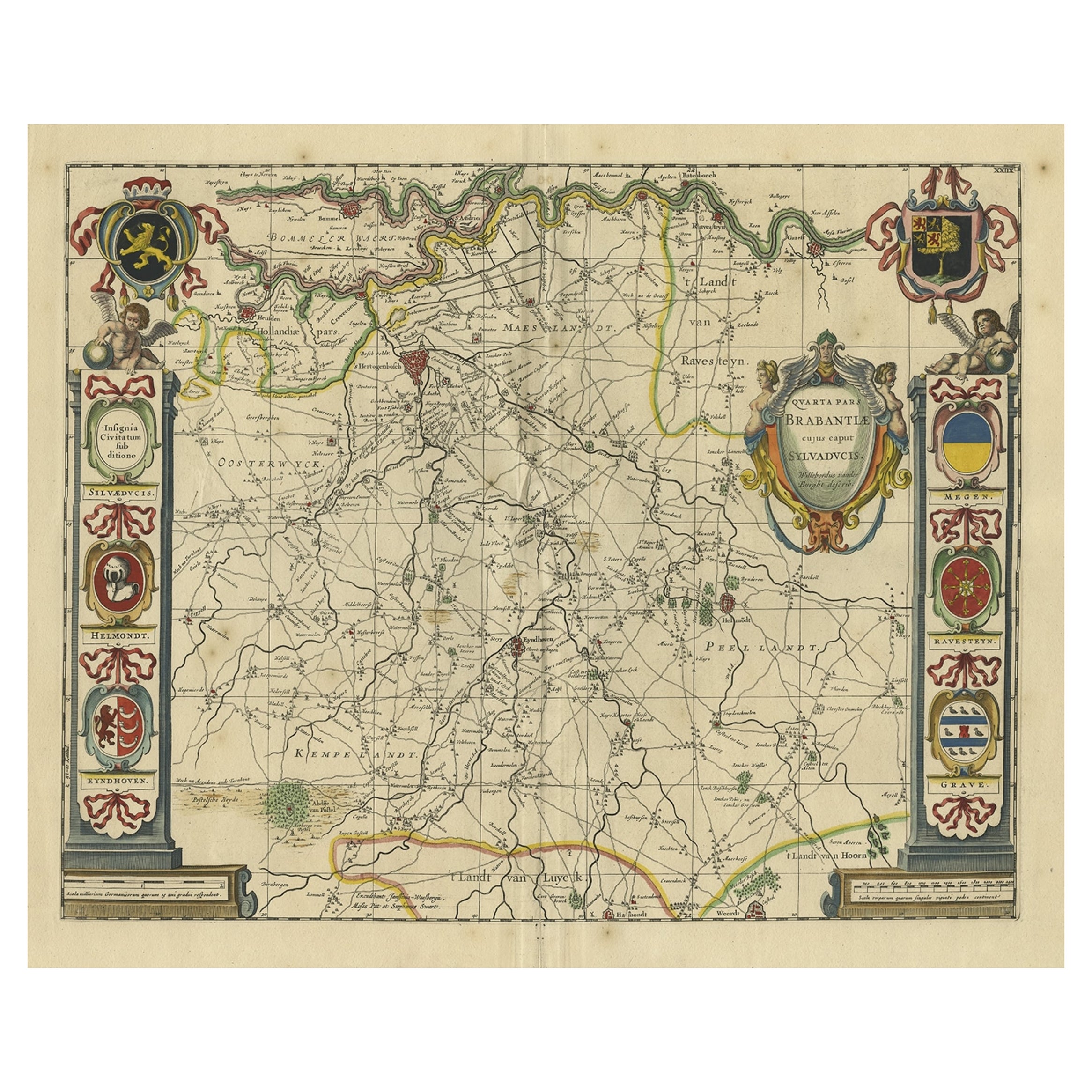
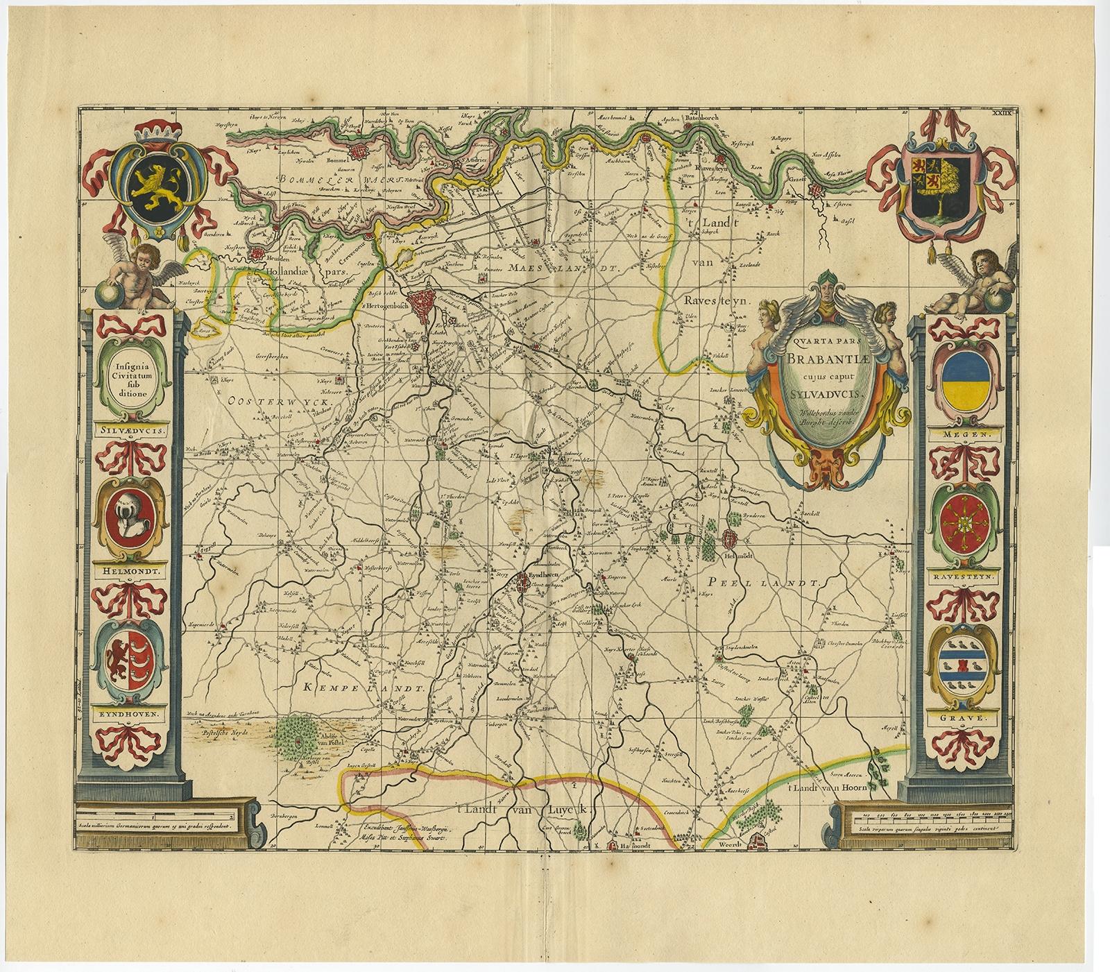
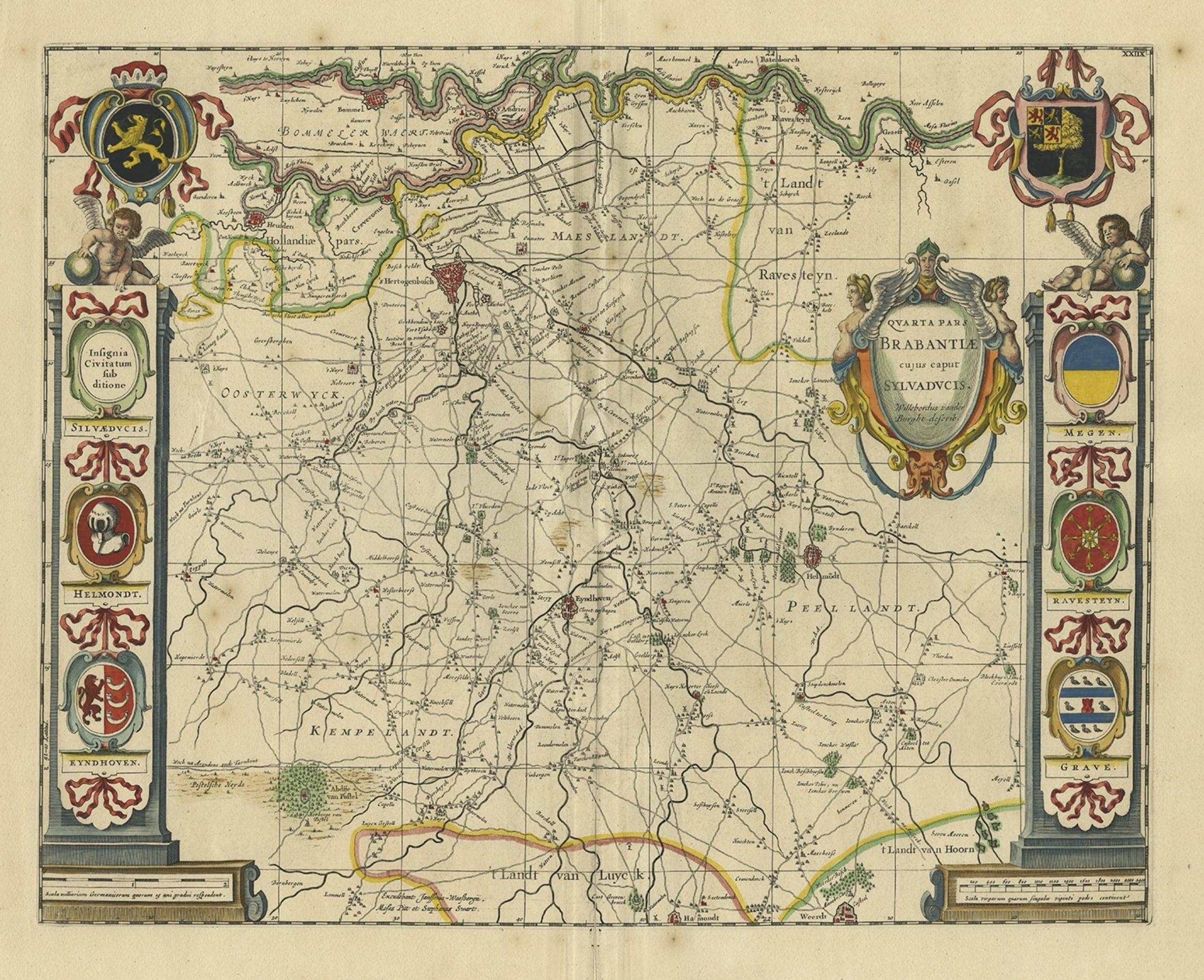
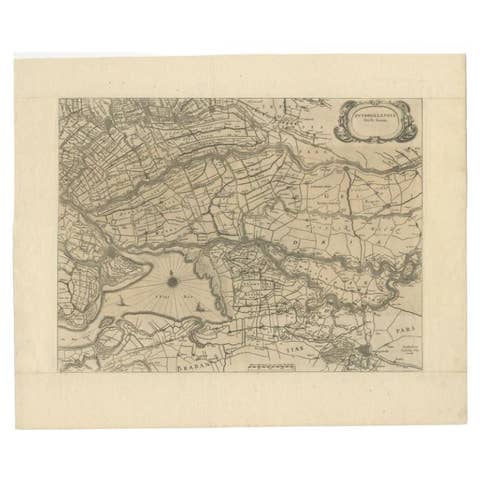
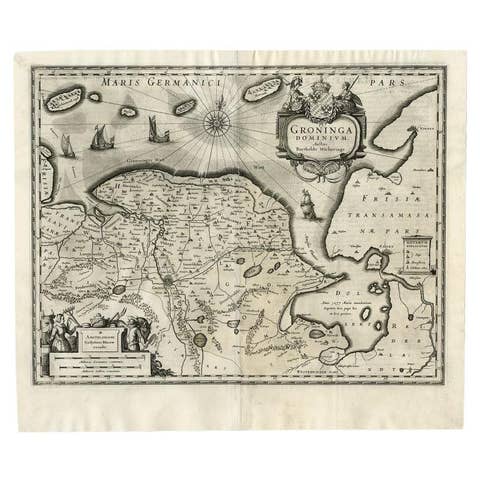
Decorative Antique Map of the Dutch Province of Noord-Brabant, ca.1640
€ 2 750
Original antique · The actual sheet photographed · Certificate of authenticity on request · Sold unframed · Worldwide shipping from € 15 (rates)
Date
1640
Sheet size
52.8 × 59 cm (20.8 × 23.2 in)
Condition
Good
Reference
PCT-58909
Condition
Given age. Large split on folding line. Some light vertical creases. Several small spots. Original middle fold as issued. General age-related toning and/or occasional minor defects from handling. Blank verso. Study image carefully.
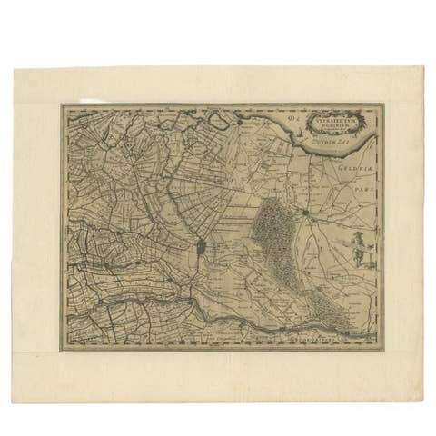
Highly detailed original antique map of the province of Noord-Brabant, the Netherlands. It shows the cities of 's-Hertogenbosch, Eindhoven and surroundings. Includes a decorative cartouche, 6 coats of arms, topped by winged cherubs and two larger coats of arms. The map was prepared by Willibrordus van der Burgt, published by Blaeu, circa 1640.
Artists and Engravers: The Blaeu firm was founded in 1596 by Willem Janzoon Blaeu (1571-1638). It was in this initial period, from 1596 to 1672, under the leadership of Willem Blaeu and with this assistance of his two talented sons Cornelius (1616-1648) and Johannis (1596-1673), that the firm was most active. Their greatest cartographic achievement was the publication of the magnificent multi-volume Atlas Major.