Maps & PrintsBartele Gallery · Langweer
Home / Antique Maps / Europe / Northern Europe

Northern Europe · 18th century

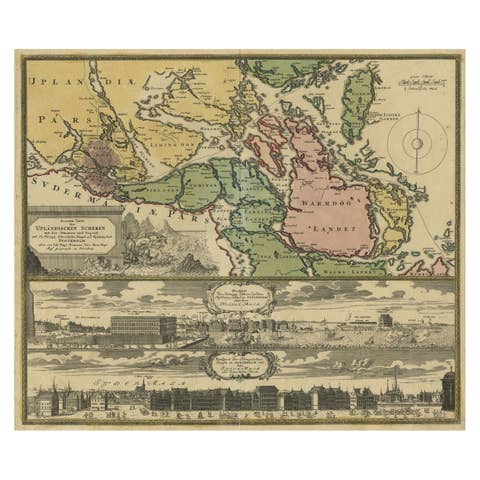
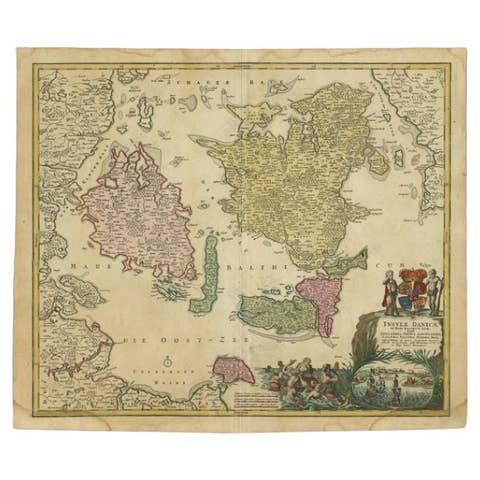
Original and Decorative Antique Engraved Map of Finland and Sweden, ca.1720

€ 1 450

Original antique · The actual sheet photographed · Certificate of authenticity on request · Sold unframed · Worldwide shipping from € 15 (rates)

Date
1720
Sheet size
53.9 × 63.8 cm (21.2 × 25.1 in)
Reference
PCT-56385

Condition

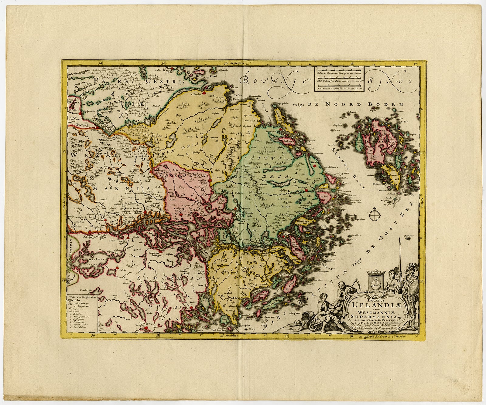
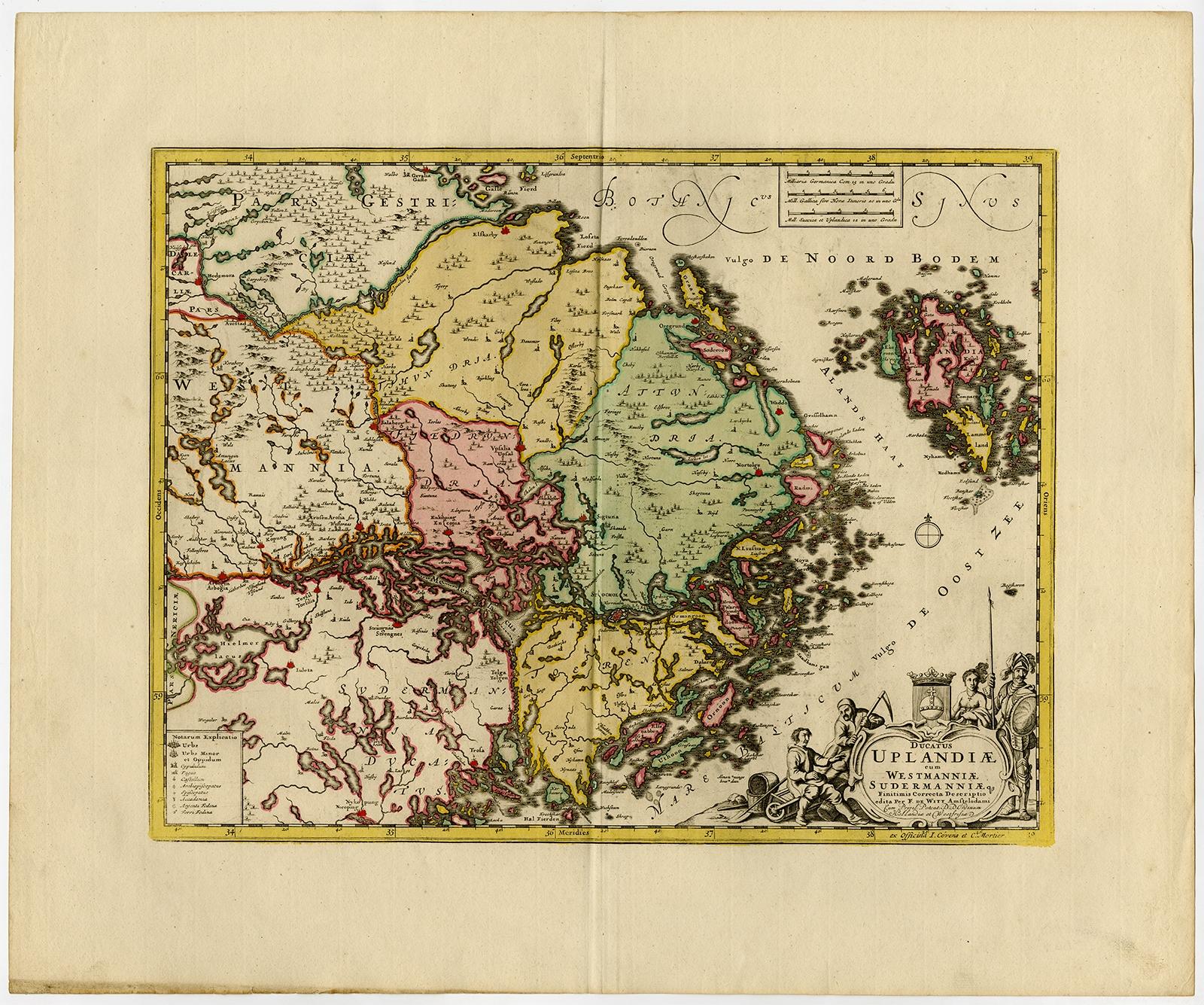
Very good, given age. Original middle fold, as issued. Contemporary hand colouring. General age-related toning and/or occasional minor defects from handling. Please review the images for further condition details.

About this sheet

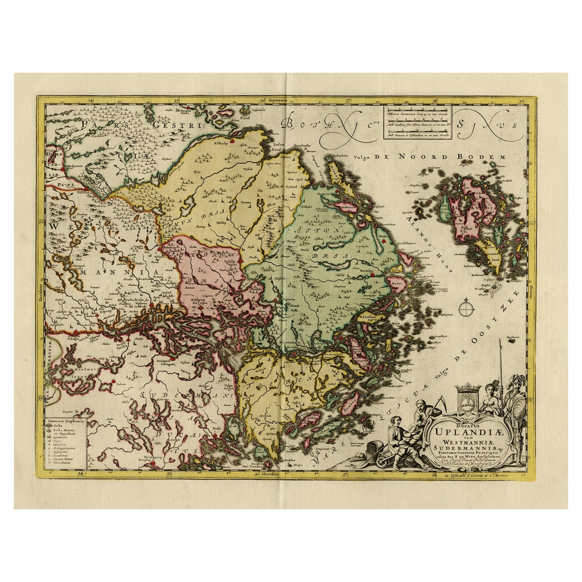
Antique map titled 'Ducatus Uplandiae cum Westmanniae Sudermanniae (..)'

This map shows parts of Finland and Sweden. Originally published by Frederick de Wit in the late 1600's. This map was probably part of a composite atlas published c.1720-1741.

Artists and Engravers: Publisher: Covens and Mortier. Cartographer: Frederick de Wit. Frederick de Wit (ca. 1630-1706) was a cartographer and artist who drew, printed and sold maps.

More from Northern Europe

Ask about this sheet

Original and Decorative Antique Engraved Map of Finland and Sweden, ca.1720
1720 · Ref. PCT-56385 · € 1 450
We reply by email, usually within one working day.