Maps & PrintsBartele Gallery · Langweer
Home / Antique Maps / Europe / Northern Europe

Northern Europe · 18th century

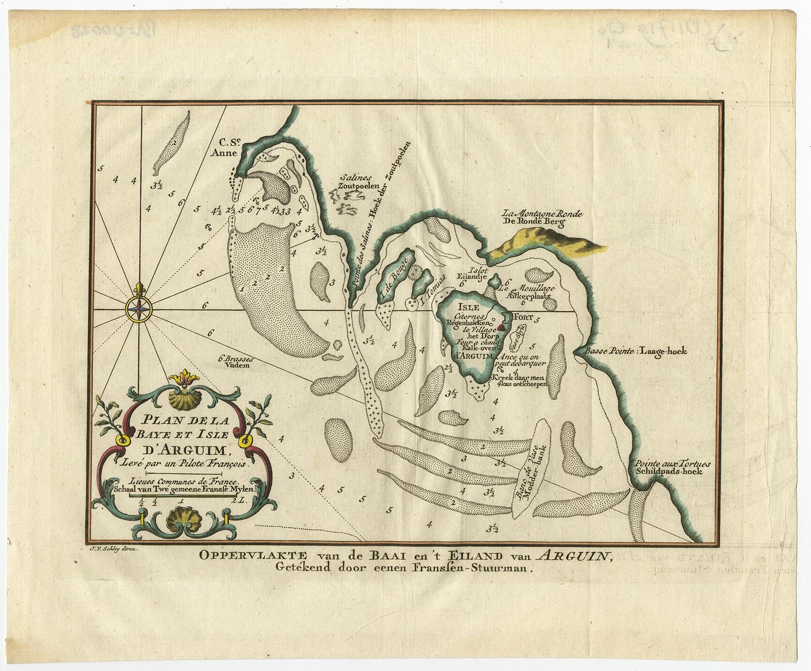
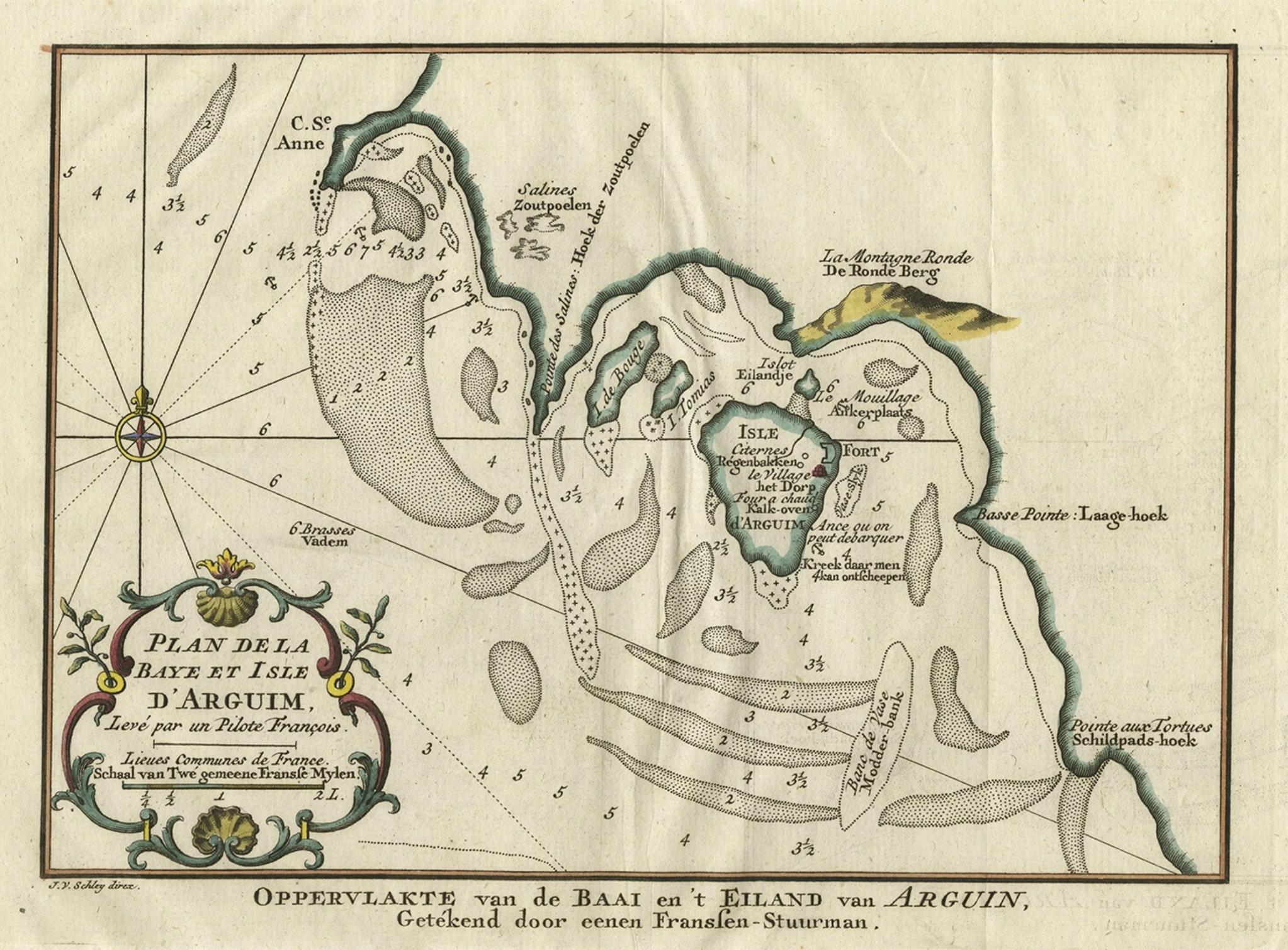
Original Antique Map of the Bay and the Island of Arguin, Mauritania, 1747

€ 260

One of a kind: this is the sheet in the photographs. Ships from Langweer, the Netherlands.

Date
1747
Sheet size
21.2 × 26.6 cm (8.3 × 10.5 in)

Condition

Very good, given age. Original folds, as issued. General age-related toning and/or occasional minor defects from handling. Please study image carefully.
About this sheet

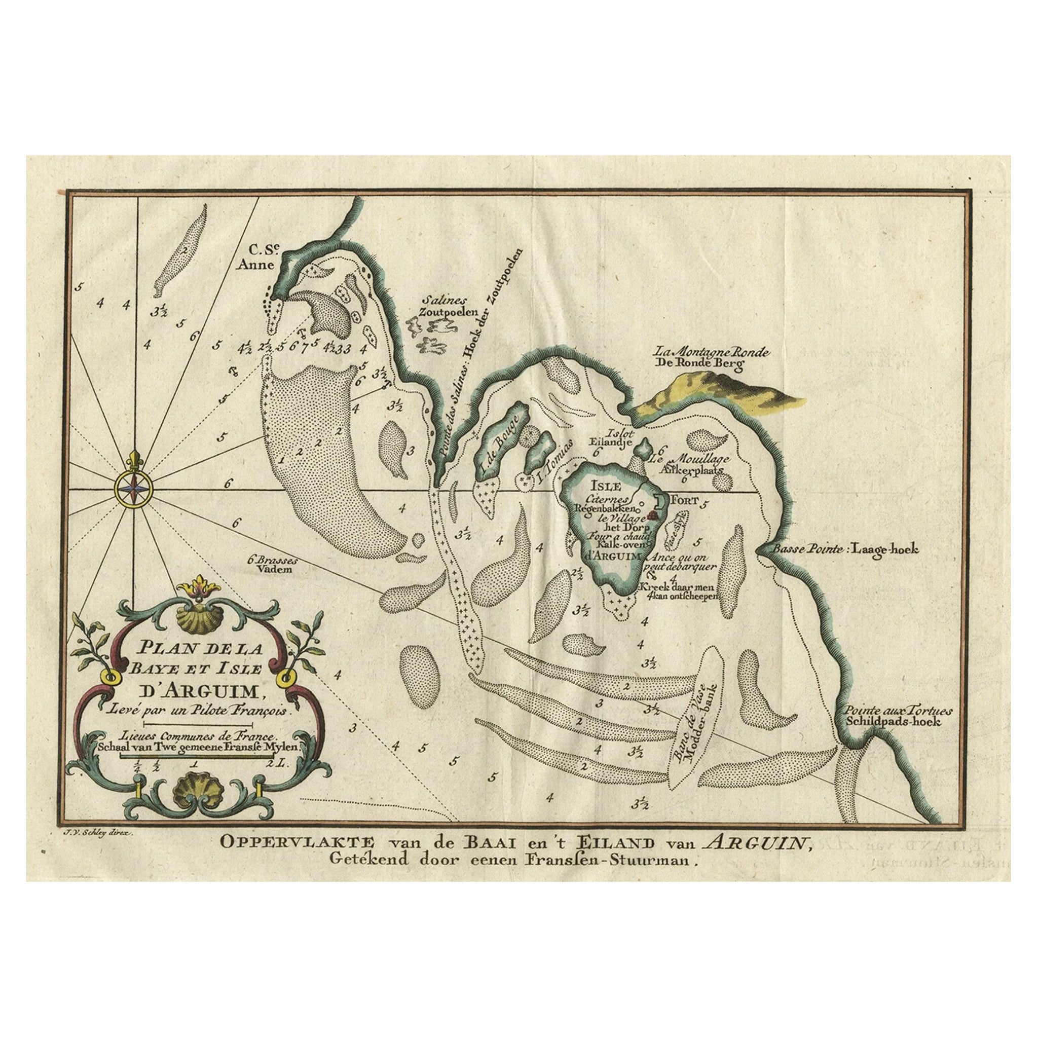
Antique map titled ’Plan de la Baye et Isle d'Arguim (..) - Oppervlakte van de Baai en 't Eiland van Arguin (..)'.

Original antique map of the bay and the island of Arguin. This map originates from 'Historische beschryving der Reizen (..)' published by P. de Hondt, 1747.

Arguin is an island off the western coast of Mauritania in the Bay of Arguin. It is approximately 6 km × 2 km (3.7 mi × 1.2 mi) in size, with extensive and dangerous reefs around it. The island is now part of the Banc d'Arguin National Park.

Artists and Engravers: Jakob van der Schley (1715-1779) was a Dutch draughtsman and engraver, who studied under Bernard Picart.

More from Northern Europe

Ask about this sheet

Original Antique Map of the Bay and the Island of Arguin, Mauritania, 1747
1747 · € 260
We reply by email, usually within one working day.