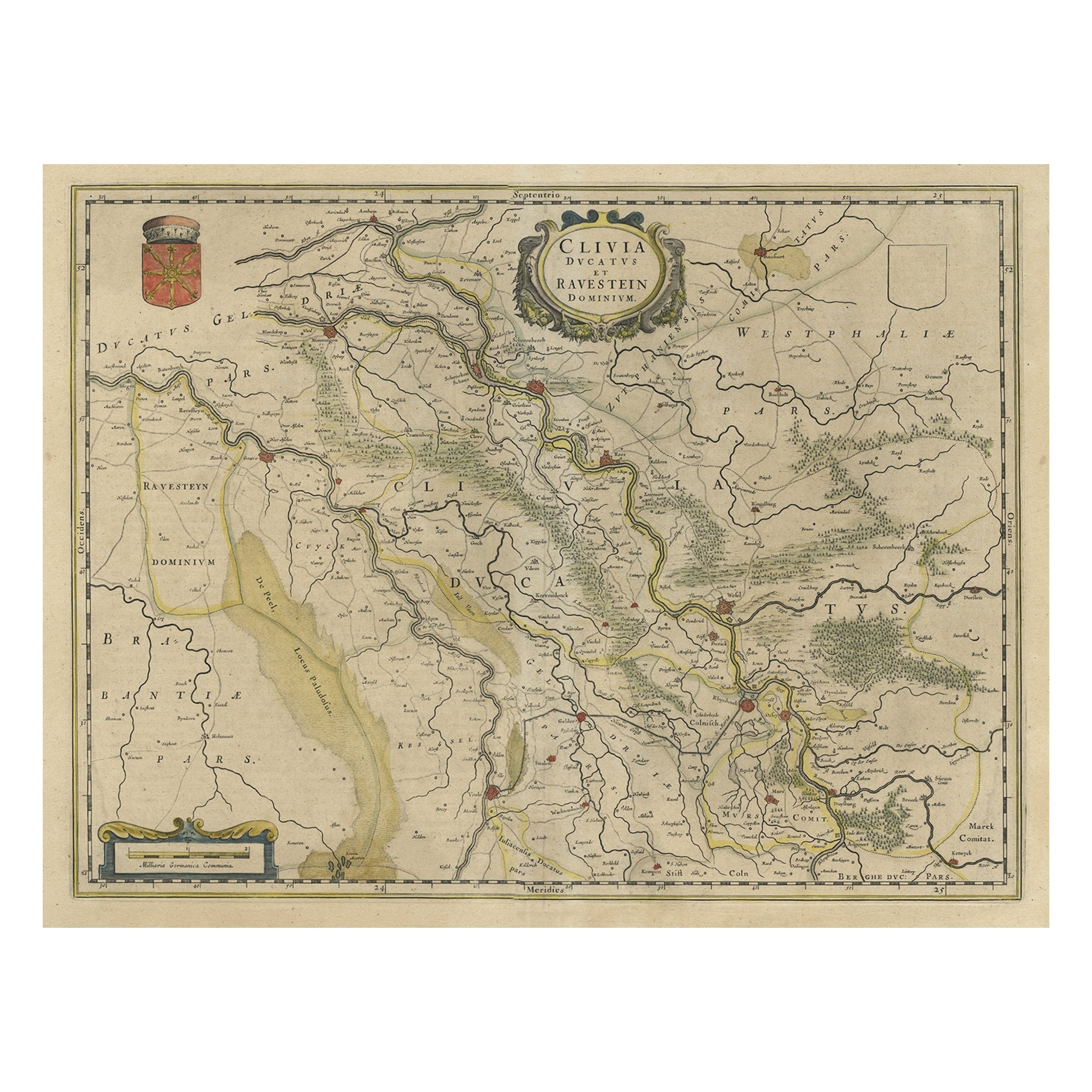
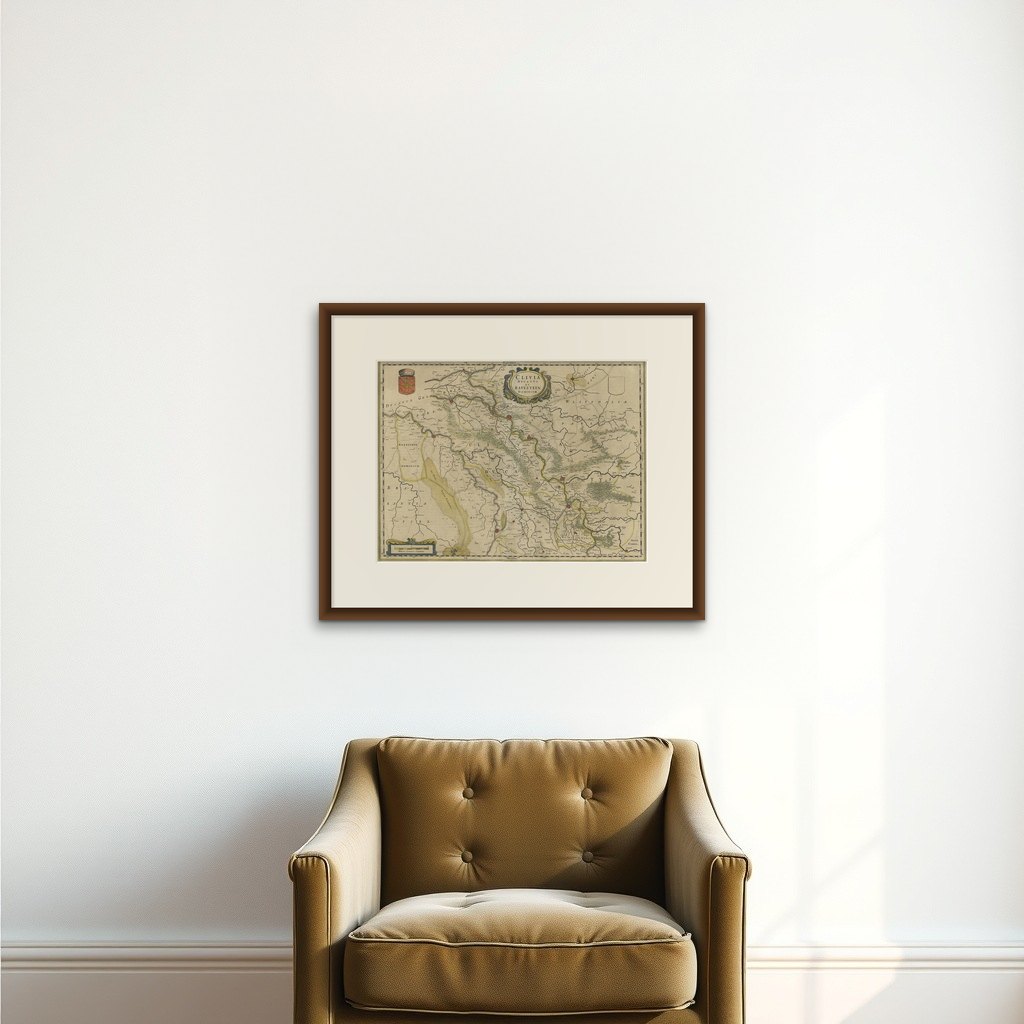
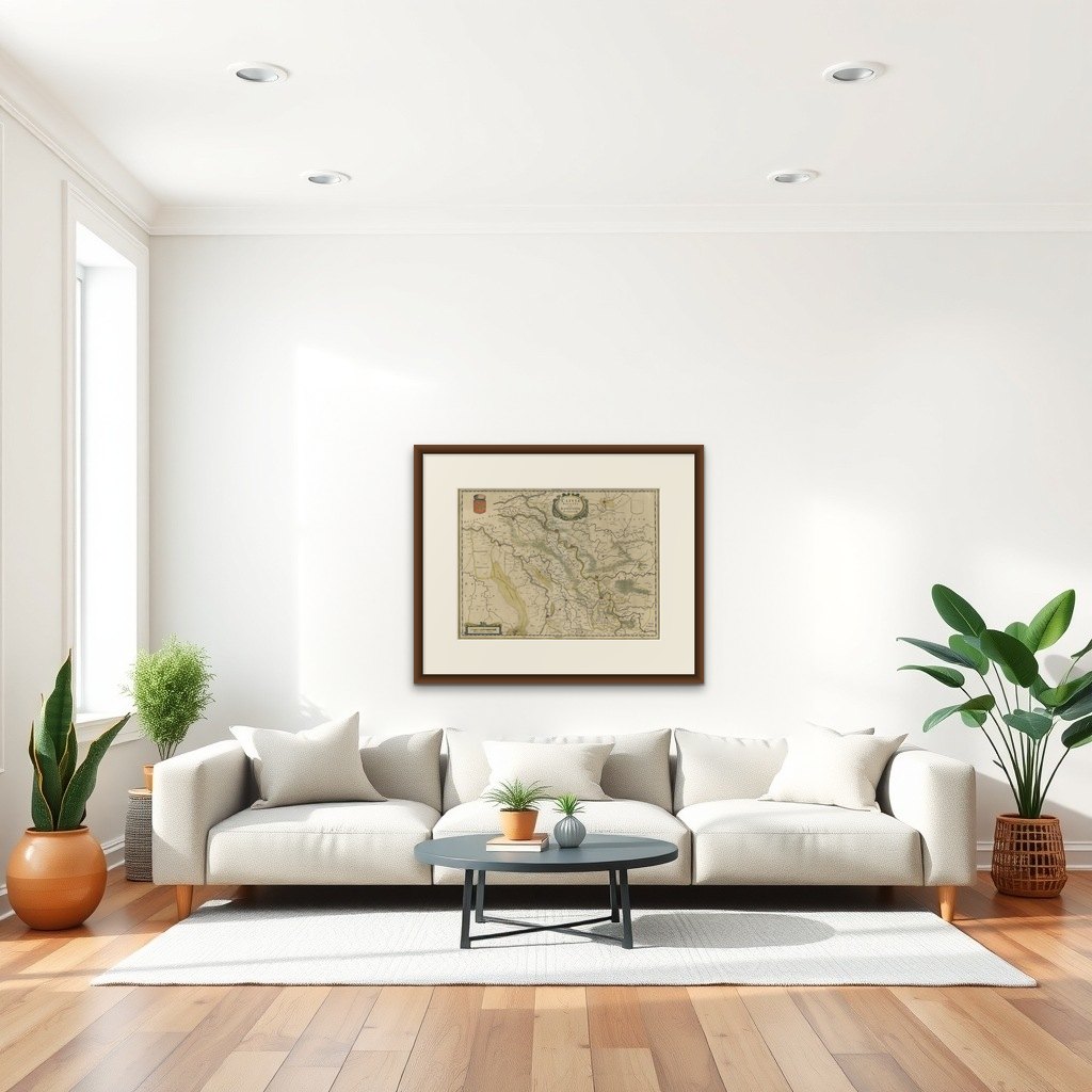
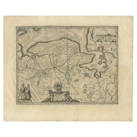
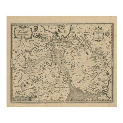
Map of the Duchy Clivia & Ravestein, Brabant in The Netherlands & Germany, 1635
€ 750
Original antique · The actual sheet photographed · Certificate of authenticity on request · Sold unframed · Worldwide shipping from € 15 (rates)
Date
1635
Sheet size
42.8 × 56 cm (16.9 × 22.0 in)
Condition
Good
Reference
PCT-61949
What the condition grades mean
Excellent
Bright and clean, with no faults worth mentioning.
Very good
Only light signs of age, such as faint toning.
Good
Normal signs of age for a sheet of this period: toning, some foxing, small marks or neat old repairs.
Fair
Clear faults such as staining, tears or repairs, priced to match.
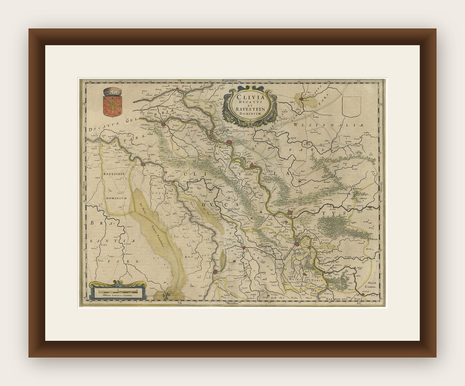
Every fault we see is written in the condition note, and the whole sheet is shown uncropped in the photos.
Condition
Given age. Paper slightly browned. Middle fold reinforced on verso. Original middle fold as issued. General age-related toning and/or occasional minor defects from handling. Please review the images for further condition details.
About this sheet
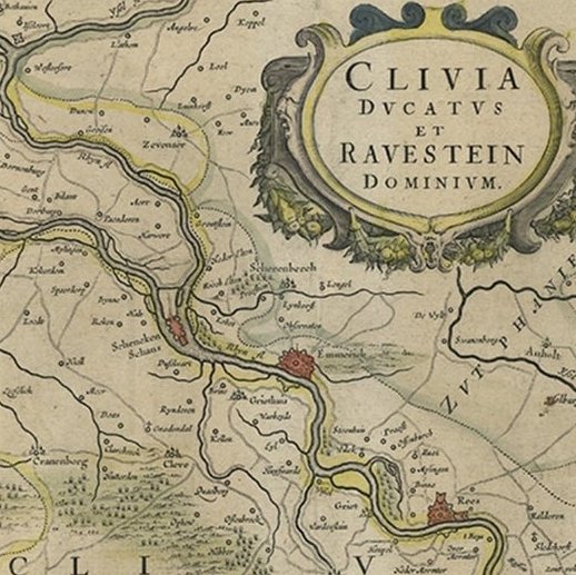
Antique map titled 'Clivia Ducatus et Ravestein Dominium.'
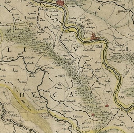
Map of the Duchy Clivia and Ravestein, part of Brabant in The Netherlands and Germany, with the cities: Nijmegen, Helmond, Venlo, Kleve, Emmerick etc. From a French language edition; French text on verso. From; Theatrum Orbis Terrarum sive Atlas Novus / Volume II, published by Willem and Joan Blaeu from 1635-1655. We do not know the exact date of this map.
Artists and Engravers: Willem Janszoon Blaeu was born 1571 in Alkmaar. He was trained from 1594 to 1596 by the famous danish astronomer Tycho Brahe. 1599 he went to Amsterdam and founded a business as globe maker. Later he started producing map and sea charts, including his first world map in 1605. His most famous work was the "Atlas Novus" or "Theatrum Orbis Terrarum sive Atlas Novus" of 1635, which was published until 1655 in total six volumes. After Blaeu's death in 1638 his sons Joan and Cornelis continued the businees and finished the "Atlas Novus" and started an even larger work, the "Atlas Maior", which reached 12 volumes. Cartographers: A. Metius and G. Freitag.