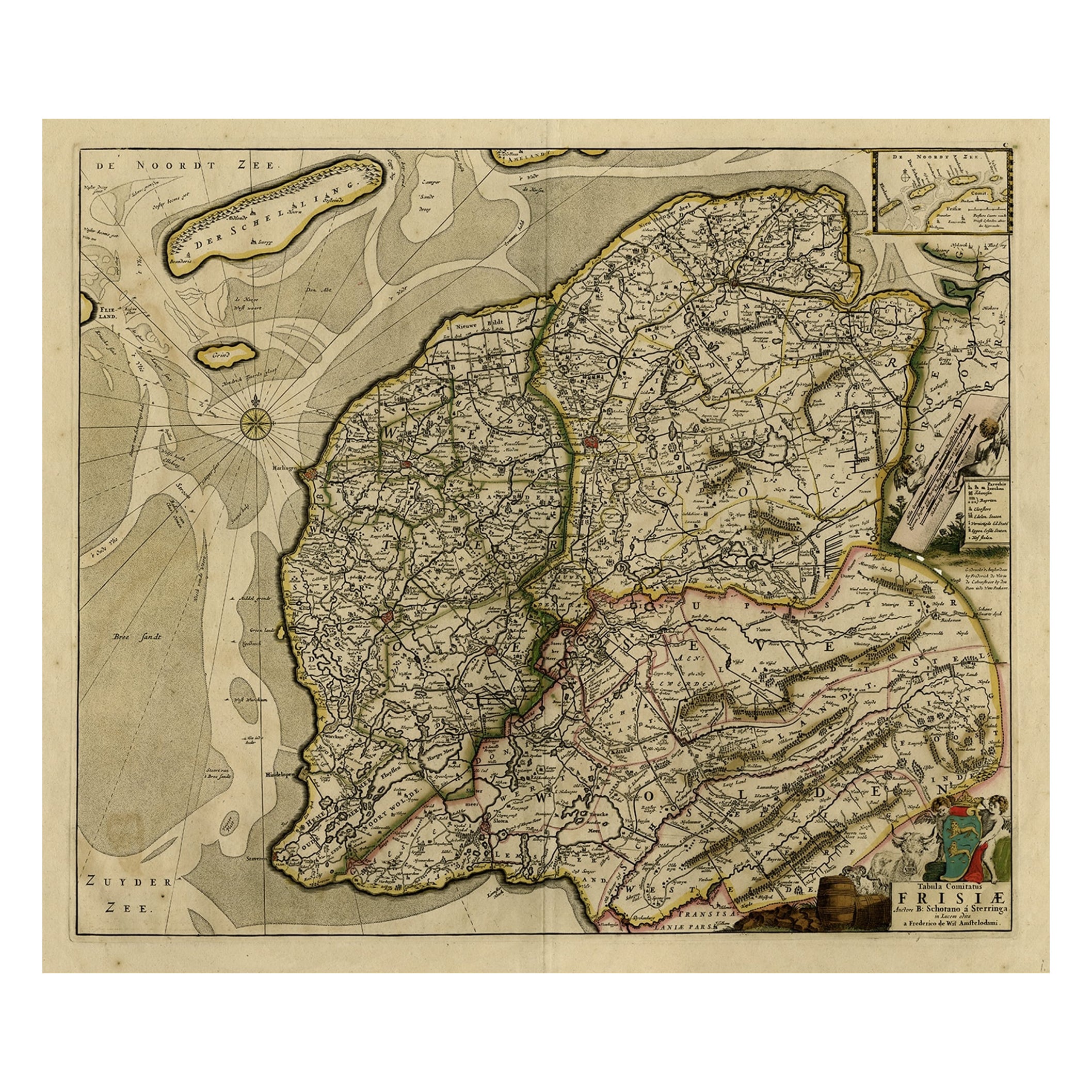
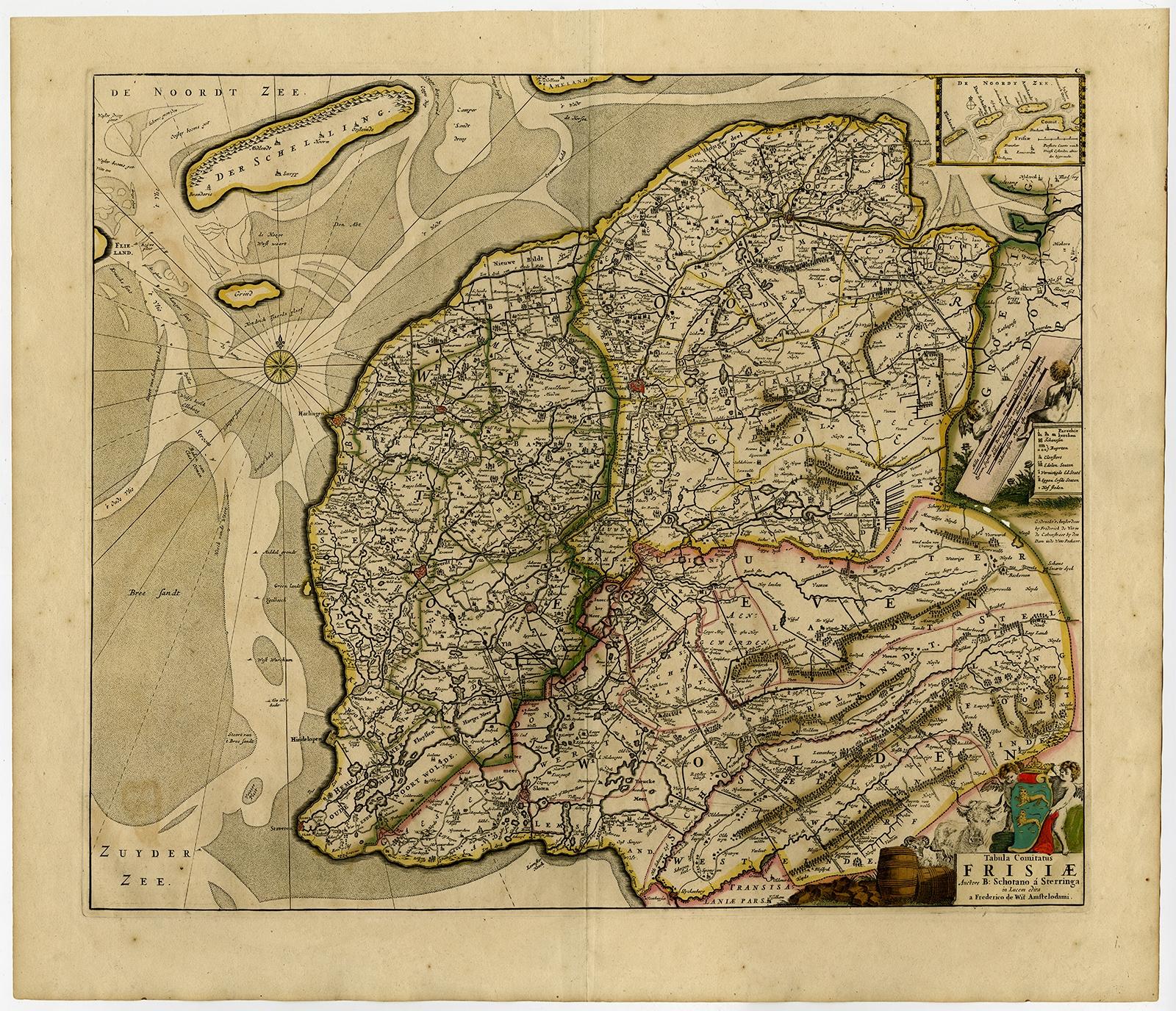
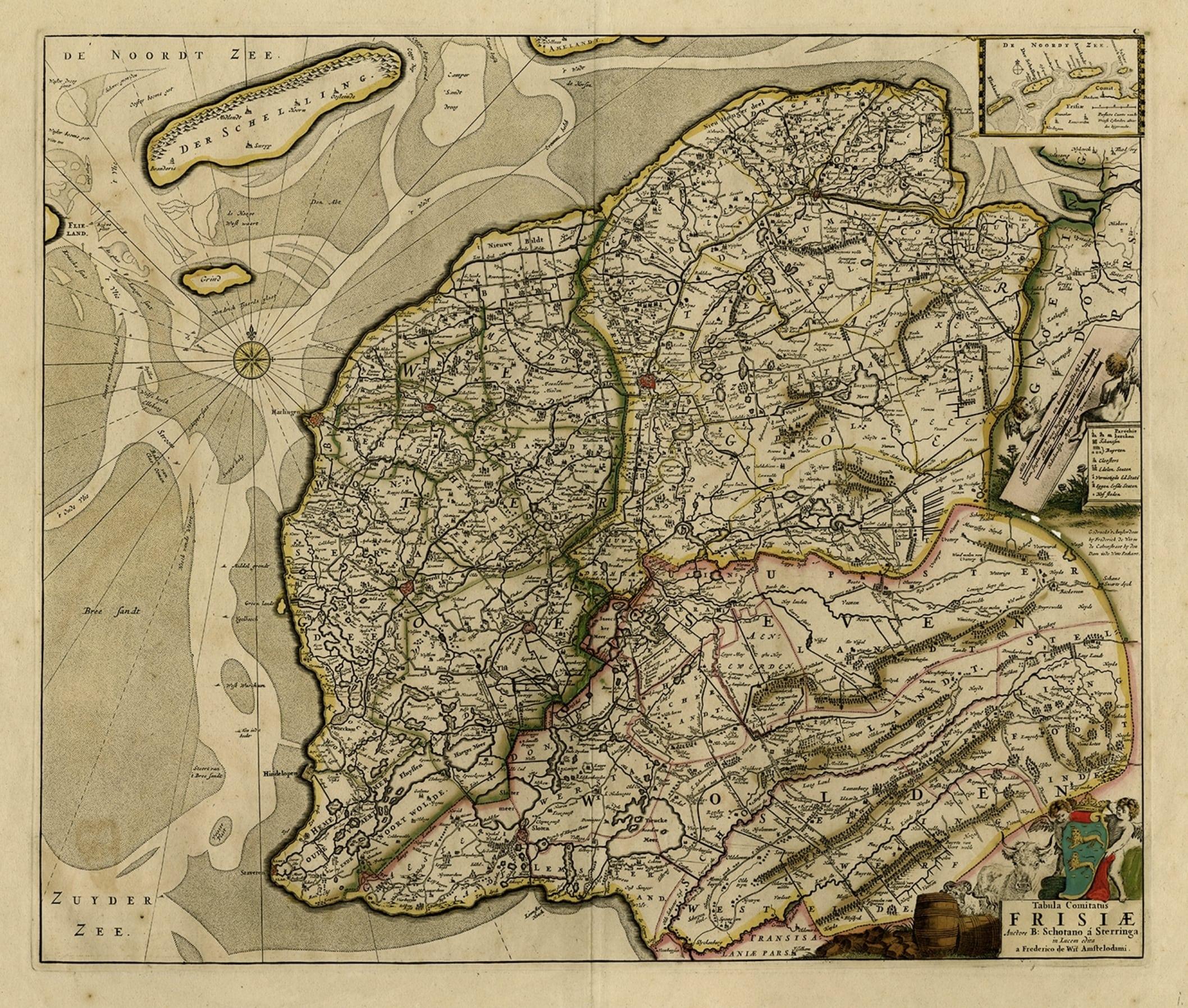
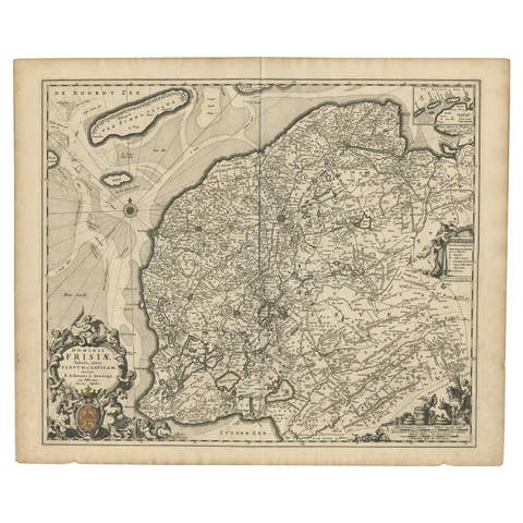
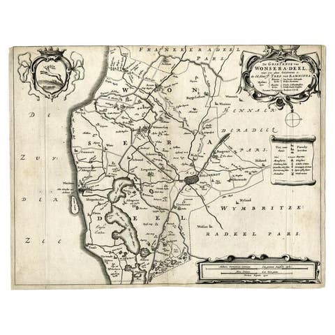
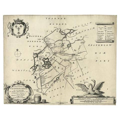
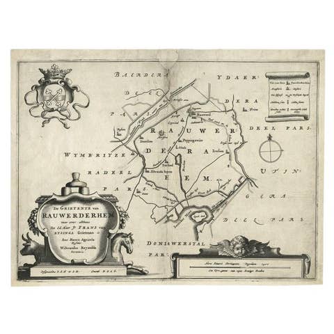
Map of Friesland with Terschelling, Vlieland, Ameland En Schiermonnikoog, C.1670
€ 730
Original antique · The actual sheet photographed · Certificate of authenticity on request · Sold unframed · Worldwide shipping from € 15 (rates)
Date
1670
Sheet size
55.1 × 63.6 cm (21.7 × 25.0 in)
Condition
Fair
Reference
PCT-54524
Condition
Nice dark inking and very attractive original colouring. Original middle fold as issued. No text on rear. A few areas of paper separation from acidification of greens. A few stains in print. General age-related toning.
About this sheet
Antique print, titled: 'Tabula Comitatus Frisiae …'
Map of Friesland with the island Terschelling, Vlieland, Ameland en Schiermonnikoog. With a cartouche and a compass rose. Published by H. Hondius after Adrian Metius und Gerard Freitag around 1630, with German text on verso. Prepared by Adrian Metius and Gerard Freitag. Source unknown, to be determined.
Artists and Engravers: Made by 'Frederick de Wit' after 'Bernard Schotanus a Sterringa'. Frederick de Wit [1629-1706 was known as a map publisher, engraver and seller. He worked in Amsterdam from the Kalverstraat (‘bij den Dam inde dry Crabben) to 1654 and then from ‘in de Witte paskaert from 1655 to 1706. He produced a prodigious amount of cartographic material including separate terrestrial maps and sea charts, sea and terrestrial atlases, wall maps, and town views. Many of his maps were superbly colored by master Dutch colourists of his day such as Dirck van Santen. De Wit also acquired numerous copperplates from those auctioned by the Blaeu and Janssonius publishing houses sometime after 1674 and republished these works, often with his imprint added. On his death in 1706, The business was continued for a time by his widow Maria untill 1709. In 1710, the De Wit plates were sold to Mortier, Van der Aa, and Renard.