Antique Maps of Asia
120 original sheets
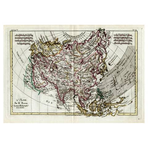
Attractive Antique Map of Asia with Borders Hand-Colored, c.1780
1780 · € 450
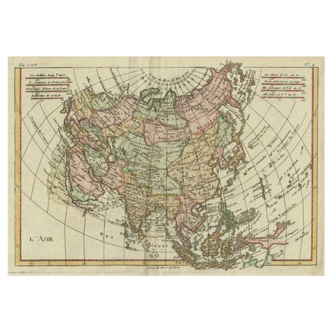
Antique Map of Asia, Showing Tradewinds, Silke Route Cities Etc, c.1780
1780 · € 450
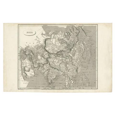
Antique Map of Asia including Arabia, 1806
1806 · € 300
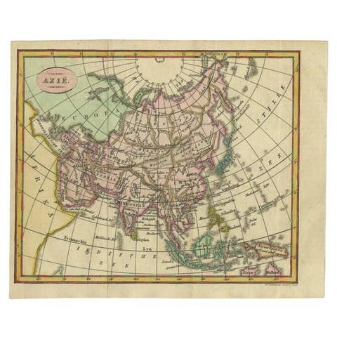
Small Antique Map of the Asian Continent, 1841
1841 · € 250

Antique Map of Asia with Additional Country Information, c. 1749
1749 · € 1 800
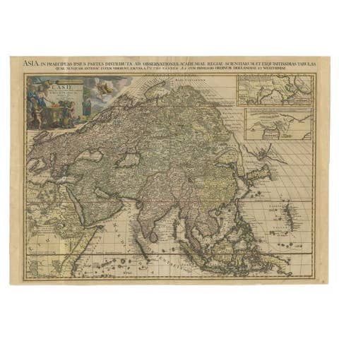
Important and Scarce Antique Map of Asia from Jesuit Sources, C.1713
1713 · € 3 500
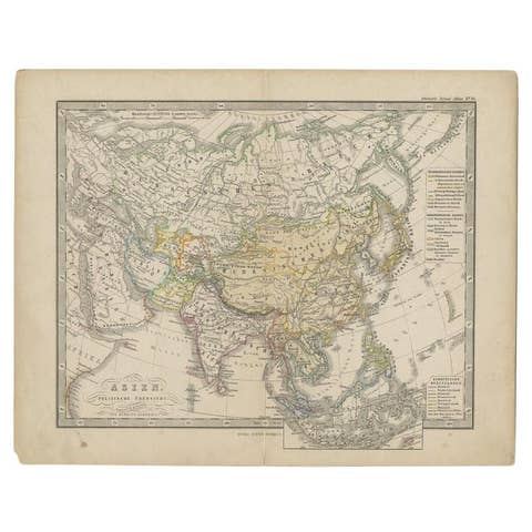
Antique Map of the Asian Continent from a German School Atlas, 1862
1862 · € 93
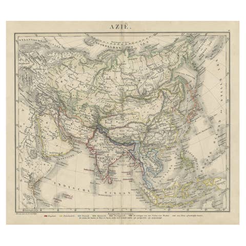
Antique Map of Asia Showing the European Language Areas, c.1873
1873 · € 117
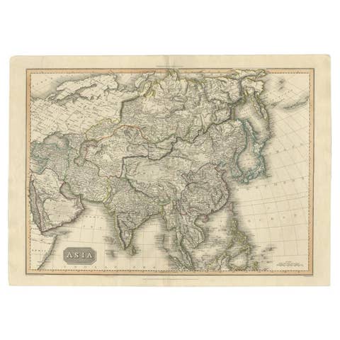
Large Antique Map of the Asian Continent, 1814
1814 · € 450
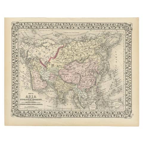
Antique Map of Asia Showing Its Political Divisions, 1874
1874 · € 180
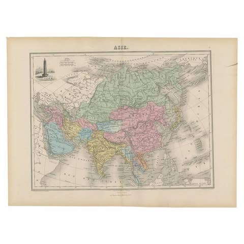
Antique Map of Asia with an Illustration of the Porcelain Tower at Nanjing, 1880
1880 · € 139
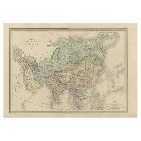
Antique Map of Asia by Malte-Brun, 1880
1880 · € 162
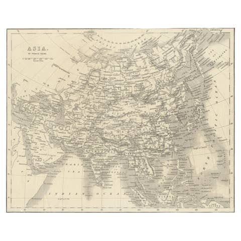
Antique Map of Asia by Young, c.1860
1860 · € 135
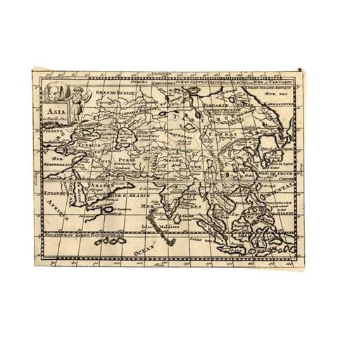
Rare Antique Map of Asia with Cartouche Depicting an Elephant, 1753
1753 · € 350

Antique Map of Asia and the East Indies and Korea as a Peninsula, ca.1660
1660 · € 2 500

Antique Map of Continental Asia, with Japan, Arabia, India, Russia, etc c.1702
1702 · € 1 350
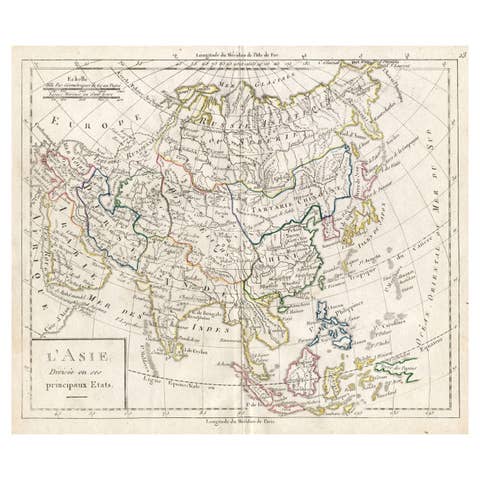
Antique French Map of Asia with Original Border Coloring, c.1785
1785 · € 120
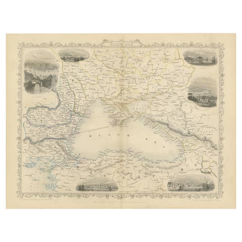
Mid 19th Century Map of the Black Sea with Decorative Vignettes, 1851
1851 · € 450
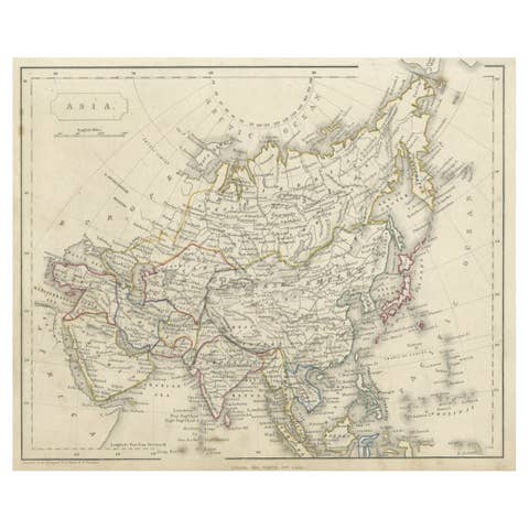
Antique Steel Engraved Map of Asia, c.1860
1860 · € 79
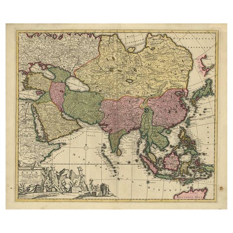
Antique Map of Asia with Northern Portion of Australia “Hollandia Nova", 1727
1727 · € 1 650
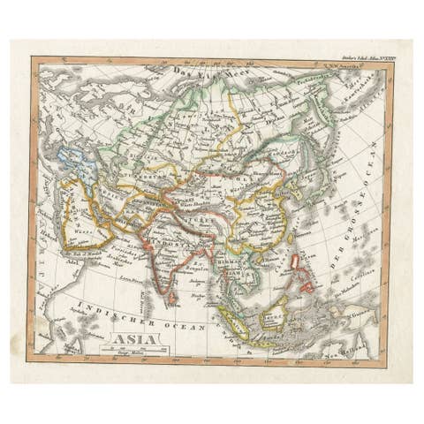
Charming Scarce Small Antique Map of Asia, 1837
1837 · € 240
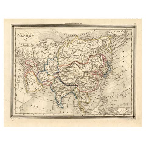
Antique Map of Asia, 1846
1846 · € 78
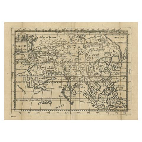
Antique Map of Asia with Misshaped Coastlines and Distorted Islands c.1760
1760 · € 139
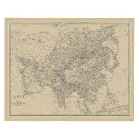
Large Antique Map of Asia The Royal Atlas of Modern Geography by Johnston, 1882
1882 · € 290

Antique Map of Asia by Delamarche, 1826
1826 · € 240
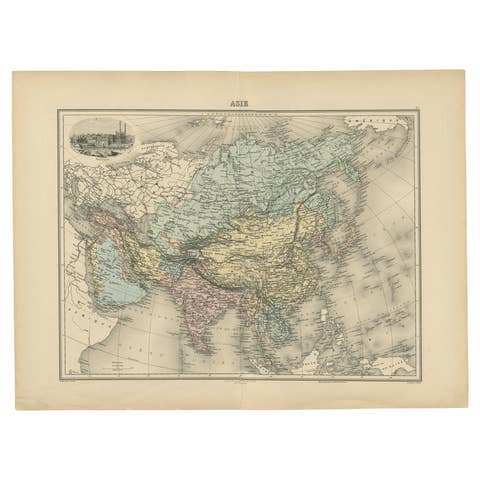
Antique Map of Asia, Vignette of Benares 'Varanasi' Showing Ganges River, 1892
1892 · € 240
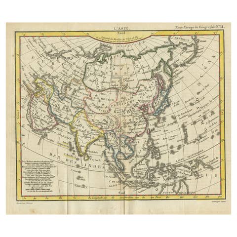
Antique Map of Asia from the Middle East to the Coast of Alaska, 1816
1816 · € 160
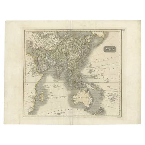
Antique Map of Asia Depicting Asia and Australia, c.1814
1814 · € 350
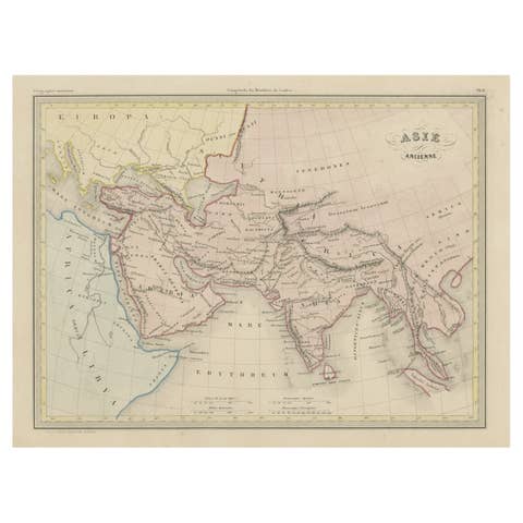
Original Antique Map of Ancient Asia, 1847
1847 · € 173
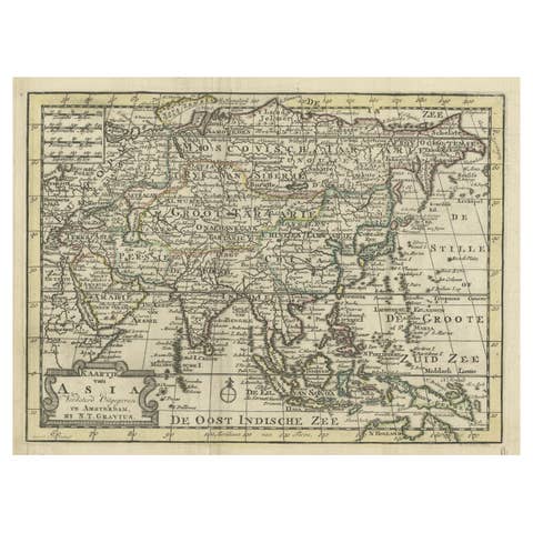
Rare Hand-Colored Antique Map of Asia, 1788
1788 · € 620
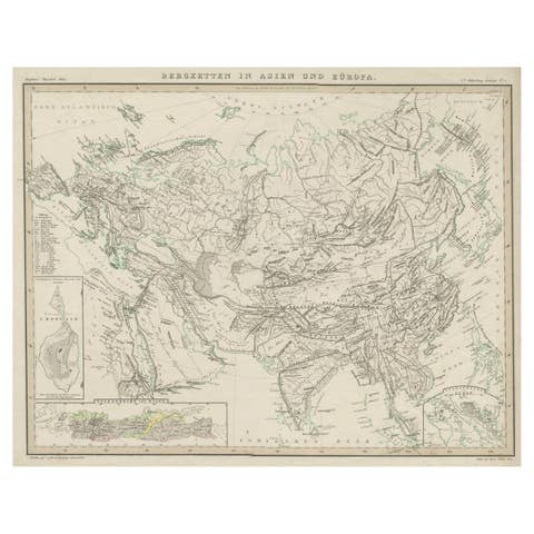
Original Antique Map Showing the Mountain Ranges in Asia and Europe, 1849
1849 · € 280
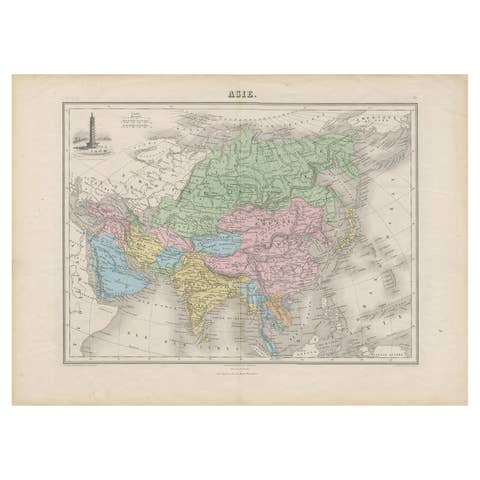
Antique Map of Asia with the Porcelain Tower at Nanjing, China, 1884
1884 · € 220
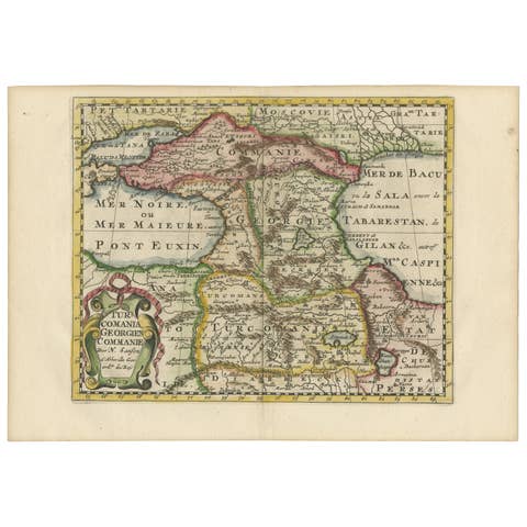
Historical Map of the Black Sea and Surrounding Regions, 1705
1705 · € 660
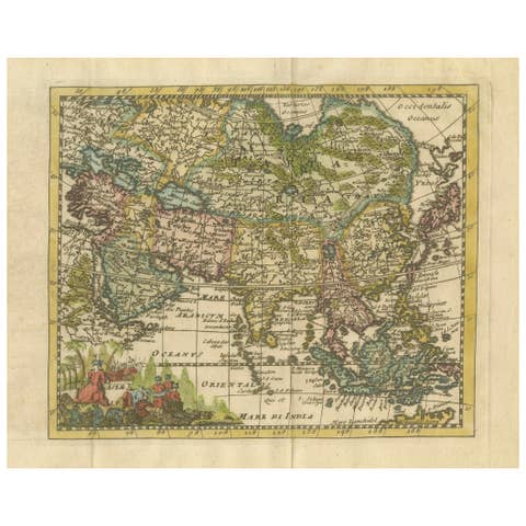
Cartographic Elegance: The Art and Science of 17th-Century Asian Maps, ca.1681
1681 · € 390
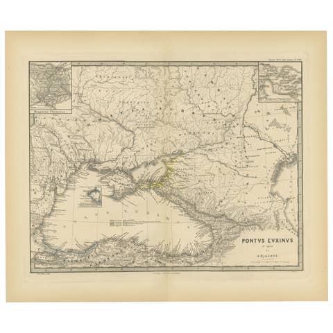
Black Sea in Antiquity: Pontus Euxinus Map, Published in 1880
1880 · € 370
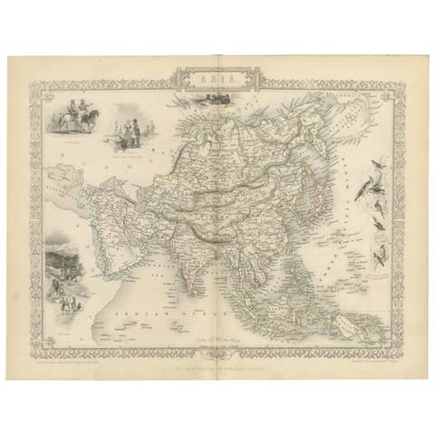
Mid-19th Century Decorative Map of Asia with Cultural and Natural Vignettes
€ 320
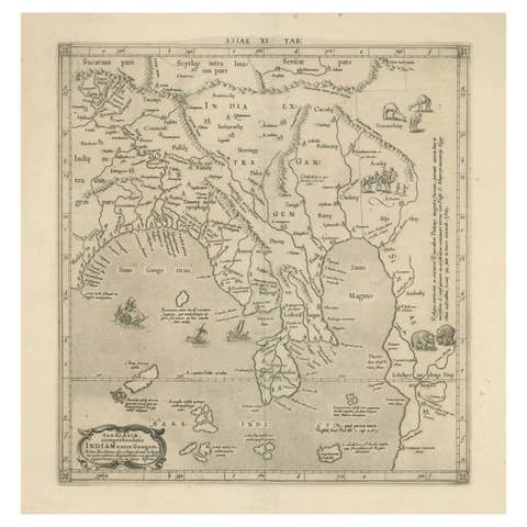
1698 Mercator Ptolemaic Map of Asia East of the Ganges
1698 · € 940
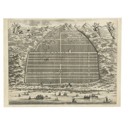
17th Century Cartographic Marvel: A Detailed Engraving of Guangzhou (Kanton)
€ 1 100
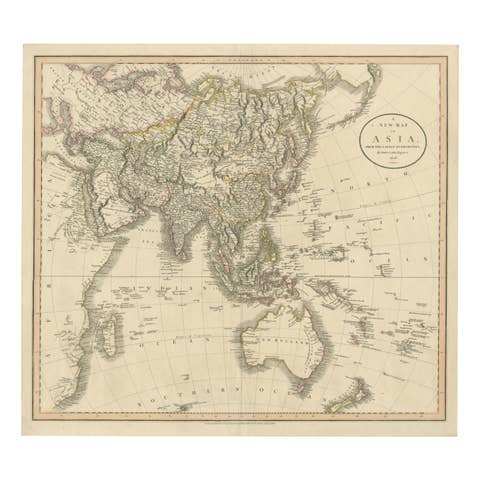
Original 1806 Engraved Map of Asia and Surrounding Regions by John Cary
1806 · € 640

Empire of the Parthians: Historical Cartographic Masterpiece by d'Anville, 1819
1819 · € 99
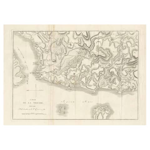
Circa 1802 Map of the Troad Region by Tardieu – From the Voyage de la Troade
1802 · € 250
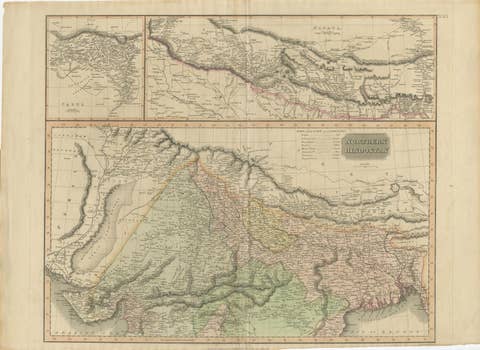
1817 Large Northern Hindostan Map by J. Thomson – New General Atlas
1817 · € 530
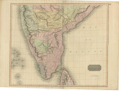
1816 Large Southern Hindostan Map by J. Thomson – New General Atlas
1816 · € 530
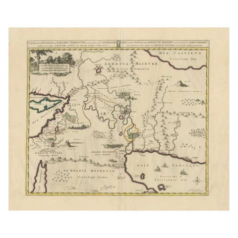
Antique Map of the Location of the Garden of Eden and Travels of the Patriarchs
€ 470
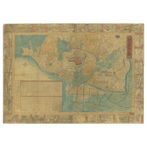
1885 Shinsen Tokyo Zenzu: Rare Meiji-Era Map of Tokyo by Sakai Kinzaburo
1885 · € 1 440
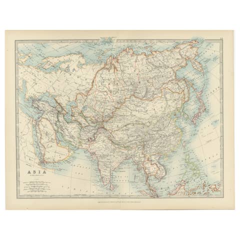
Antique Map of Asia with Intricate Provincial Boundaries, Published in 1903
1903 · € 320
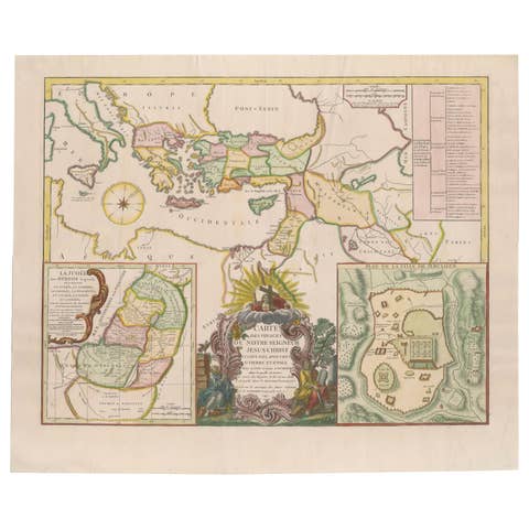
Antique 1743 Map – Travels of Jesus Christ & Apostles by Seutter
1743 · € 1 690

Antique Biblical Atlas with 17 Hand-Colored Maps, Religious Tract Society c.1850
1850 · € 990