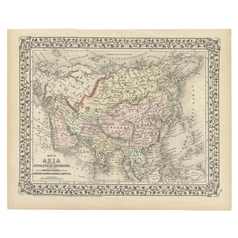
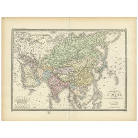
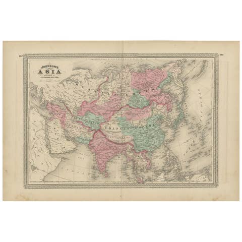
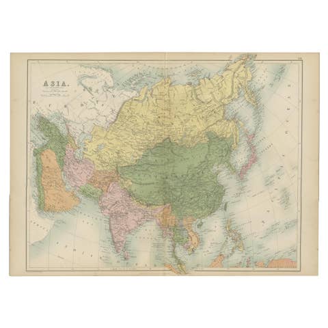
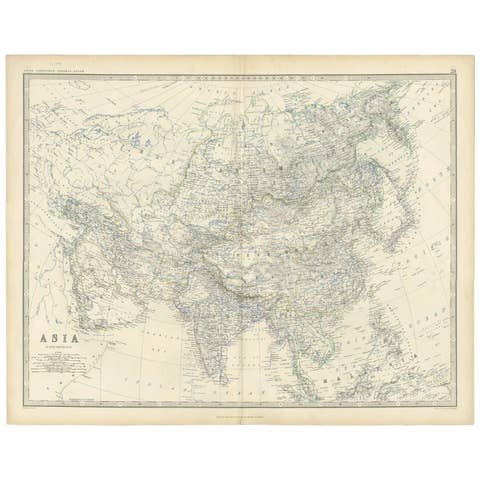
Antique Map of Asia Showing Its Political Divisions, 1874
€ 180
One of a kind: this is the sheet in the photographs. Ships from Langweer, the Netherlands.
Date
1874
Sheet size
30.9 × 38.6 cm (12.2 × 15.2 in)
Condition
Good
Reference
BG-07971
Condition
general age-related toning. Few small tears, please study image carefully.
About this sheet
Antique map titled 'Map of Asia showing its Gt. Political Divisions and also the various routes of Travel between London & India, China & Japan & c'. This map covers from the Arabian Peninsula and Turkey eastward as far as Kamchatka, Japan, the Philippines and New Guinea. The map makes note of the steamship routes and mileages from London to various destinations in Asia.
Artists and Engravers: Samuel Augustus Mitchell Jr. inherited the Mitchell Company from his father in 1860. For over thrity years, the company had specialized in the production of school atlases and wall maps of America. They were one of the pioneers on engraving on steel plates.
Condition: Good, general age-related toning. Few small tears, please study image carefully. Date: 1784 Overall size: 38.6 x 30.9 cm. Image size:34 x 26.6 cm.
We sell original antique maps to collectors, historians, educators and interior decorators all over the world. Our collection includes a wide range of authentic antique maps from the 16th to the 20th centuries. Buying and collecting antique maps is a tradition that goes back hundreds of years. Antique maps have proved a richly rewarding investment over the past decade, thanks to a growing appreciation of their unique historical appeal. Today the decorative qualities of antique maps are widely recognized by interior designers who appreciate their beauty and design flexibility. Depending on the individual map, presentation, and context, a rare or antique map can be modern, traditional, abstract, figurative, serious or whimsical. We offer a wide range of authentic antique maps for any budget.