About this sheet
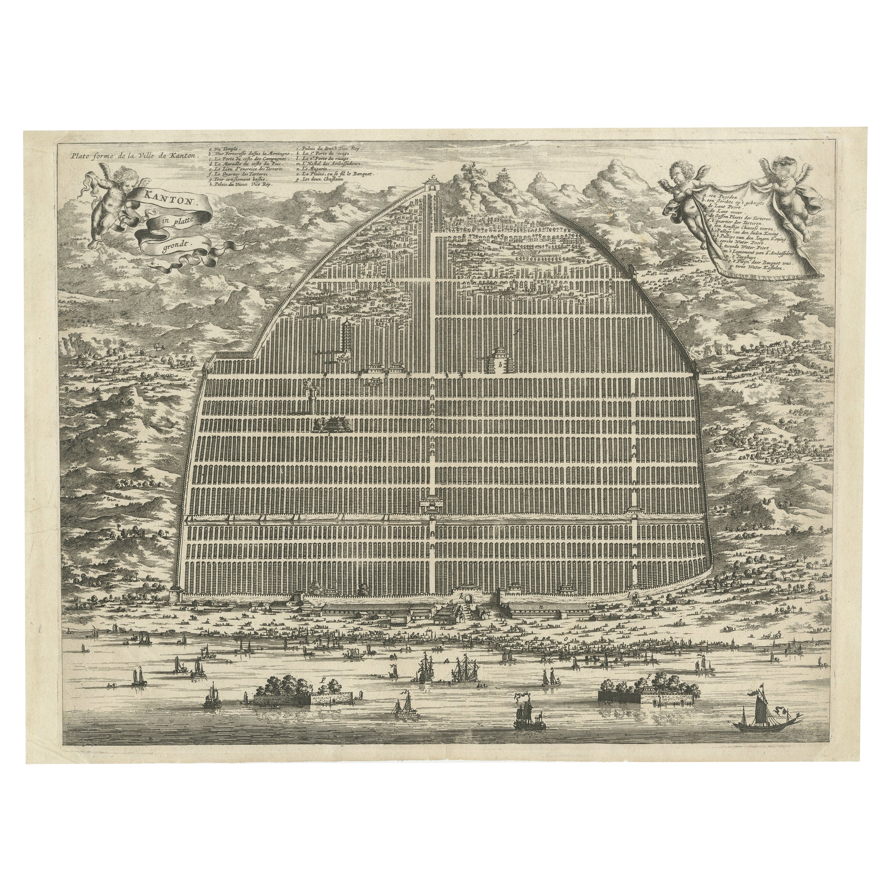
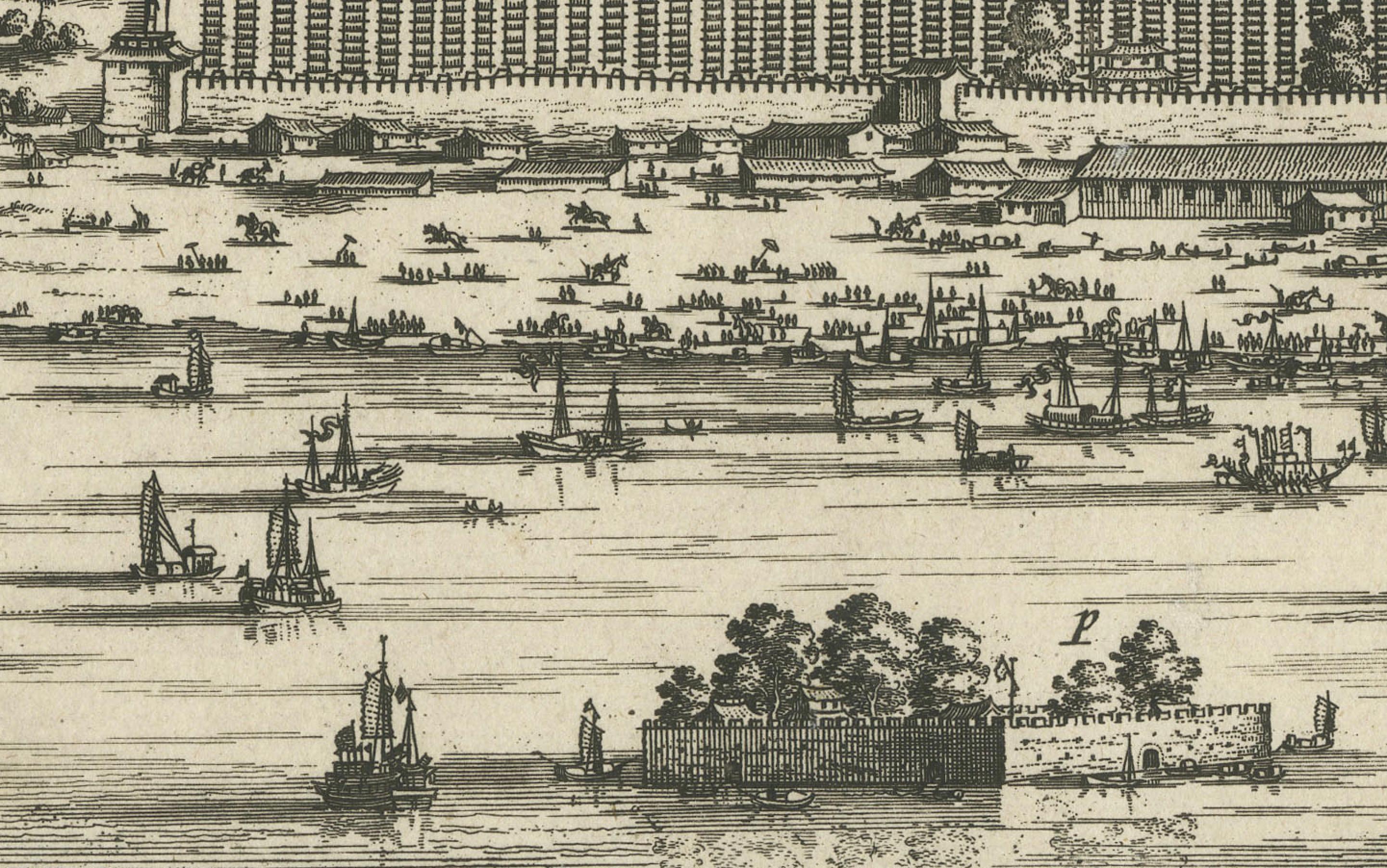
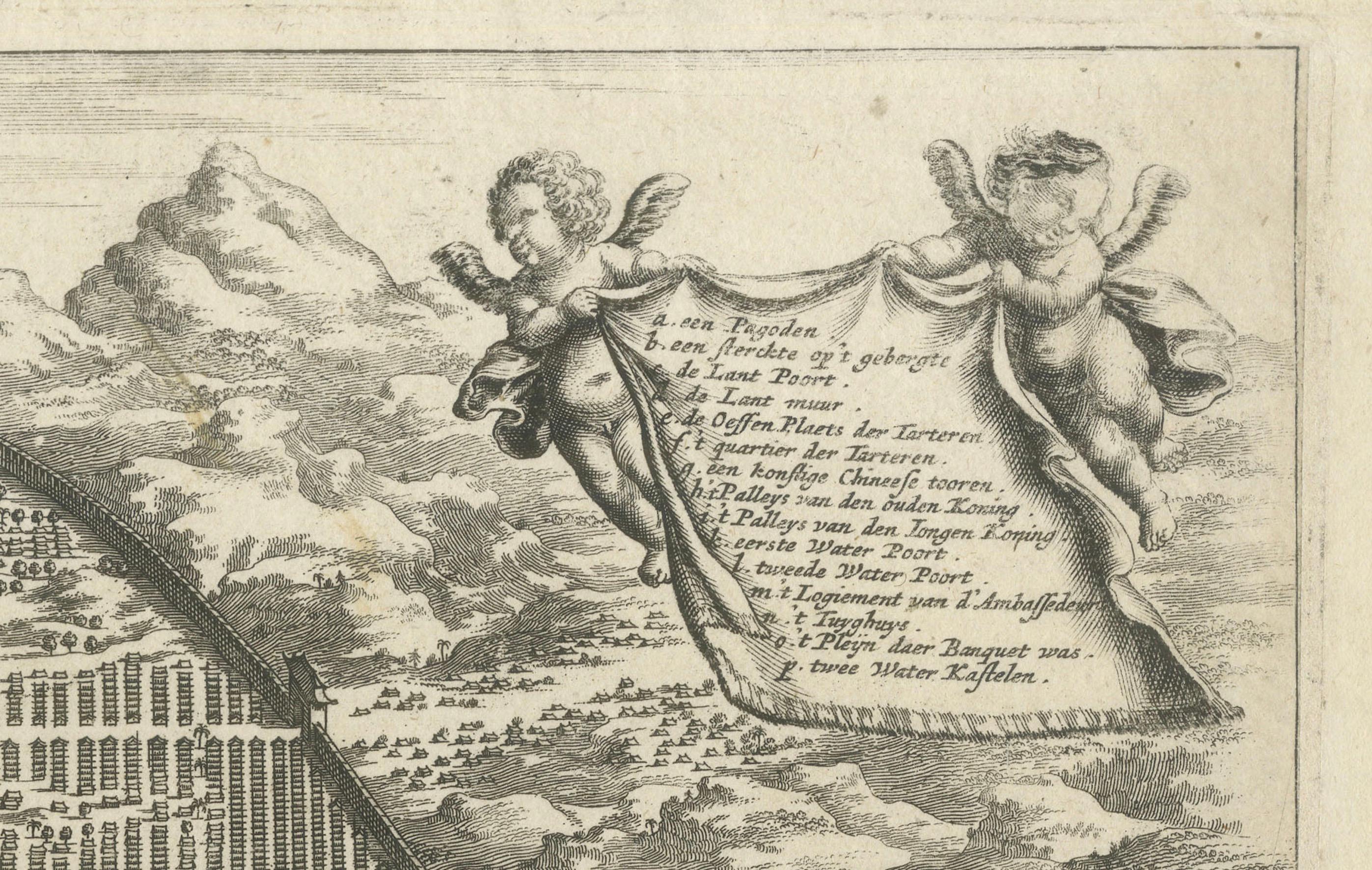
This engraving of Guangzhou ("Kanton") is from a French edition of Olfert Dapper's work. The French edition titled "Description de l’Empire de la Chine" was published in 1674. It is an unusual mix between a view and a city plan.
The original Dutch edition, titled "Gedenkwaerdig Bedryf der Nederlandsche Oost-Indische Maetschappye," was published in 1670. The French edition, which contains similar engravings and maps, was published four years later to make Dapper's comprehensive descriptions of China accessible to a broader European audience.
Nieuhof's works also contain illustrations and maps of Chinese cities, as he was an explorer and draughtsman who accompanied Dutch missions to China. However, the specific engraving style and presentation of this map align more closely with Dapper's works.
This map of Guangzhou ("Kanton") from 1665 is interesting for several reasons:
1. **Historical Context**: It represents a period when European interest in Asia, particularly China, was growing rapidly. The map reflects the early interactions between Europe and China, driven by trade and exploration.
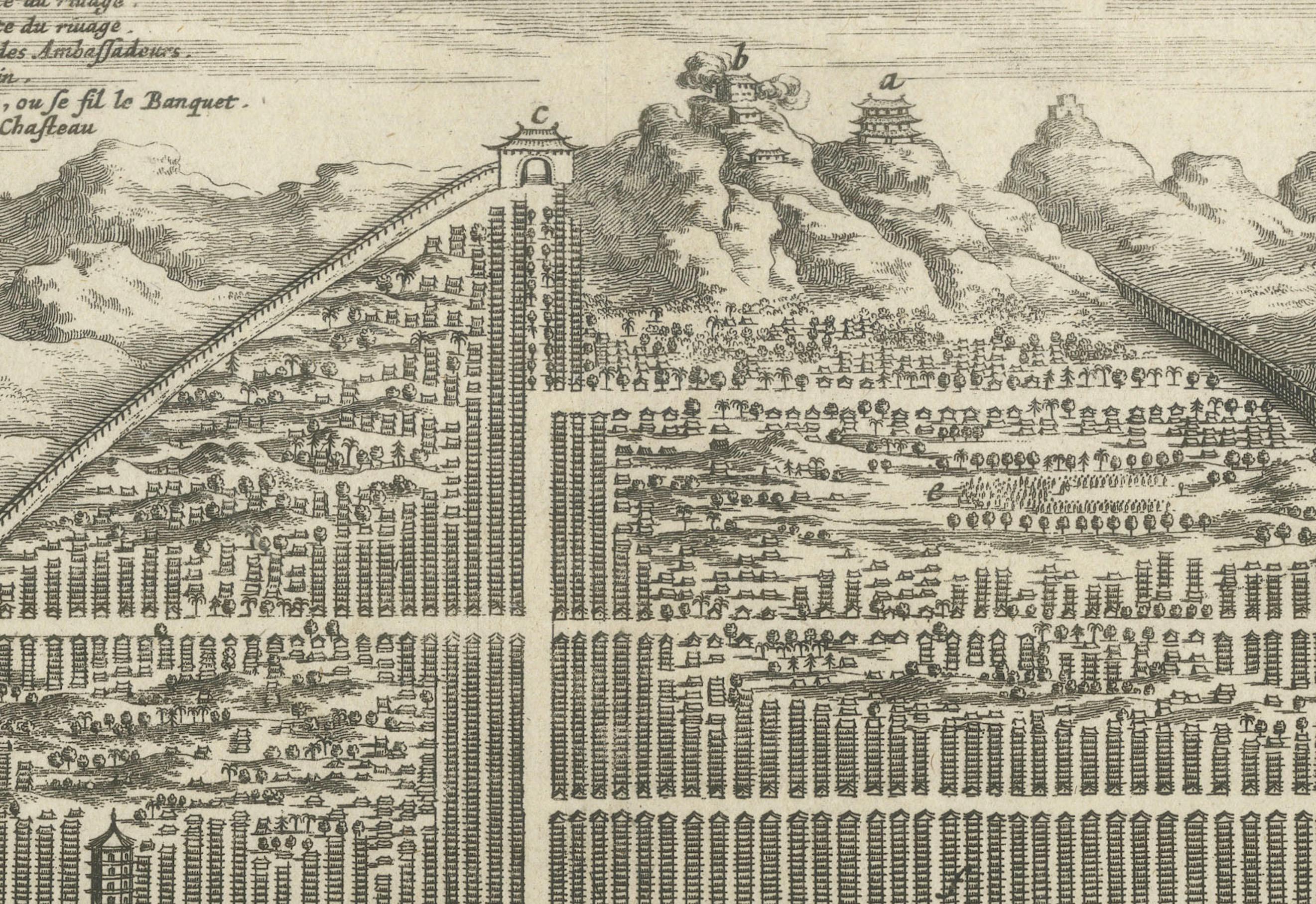
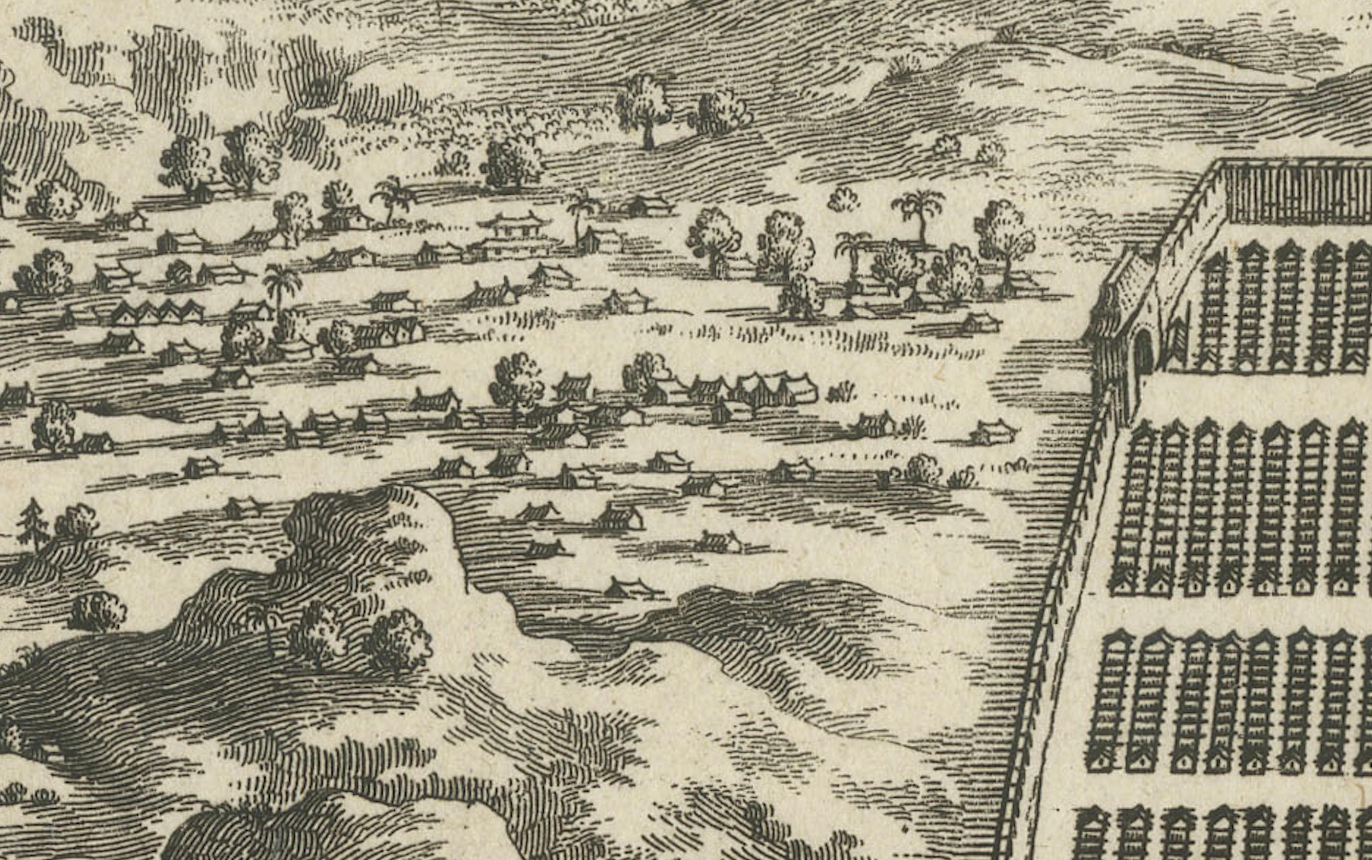
2. **Detail and Accuracy**: For its time, this map is remarkably detailed, showing the layout of Guangzhou with a grid pattern that highlights the organization of the city. It includes significant buildings, streets, and the surrounding landscape, providing a valuable snapshot of the city's structure in the 17th century.
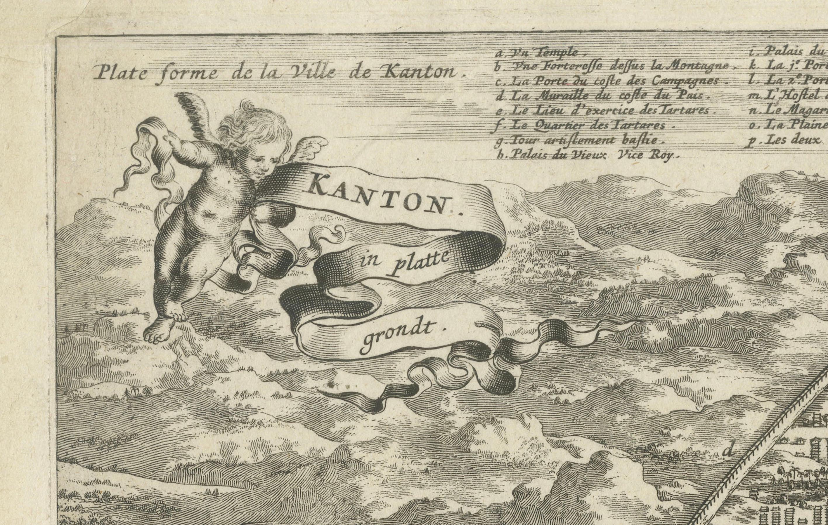
3. **Cartographic Style**: The engraving style, typical of the 17th century, combines artistry with cartography. The inclusion of decorative elements like cherubs, ships, and a scrollwork title enhances its visual appeal and historical charm.
4. **Cultural Exchange**: This map is a product of the exchange of knowledge between Europe and China. It reflects how Europeans sought to understand and document foreign lands, contributing to the global spread of geographical knowledge.
5. **Publication History**: The map's inclusion in Olfert Dapper's work, which was translated into several languages and widely distributed, highlights its significance in the dissemination of knowledge about China in Europe. The French edition in which this map appears shows the importance of this information beyond the Dutch-speaking world.
6. **Urban Planning and Architecture**: For researchers and historians, the map provides insights into the urban planning and architecture of Guangzhou during the Ming and early Qing dynasties, showing how cities in China were organized and how they compared to European cities of the same period.
7. **Trade and Commerce**: Guangzhou was a major port city and a key hub in maritime trade, particularly in the silk, tea, and porcelain trades. The map illustrates the city's strategic importance and its role in global commerce.
Overall, this map is a valuable historical document that offers insights into 17th-century cartography, European perceptions of China, and the historical significance of Guangzhou as a major urban center.