Antique Maps of Asia
35 original sheets
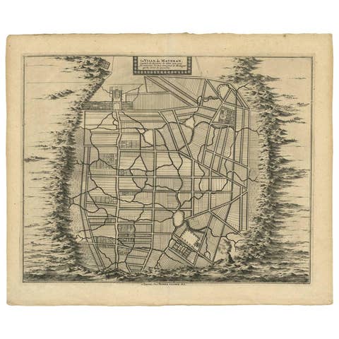
Antique Map of the City of Materan 'Indonesia' by P. van der Aa, circa 1725
1725 · € 395
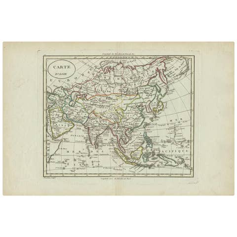
Antique Map of Asia by Alexandre Blondeau, Paper Print, Circa 1800
1800 · € 191
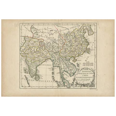
Antique Map of Asia by Dussy, 1778
1778 · € 220
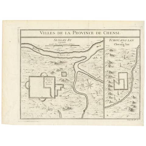
Antique Map of Si-Ngan-fu and Tchang Lan 'China' by Bellin '1748'
1748 · € 134
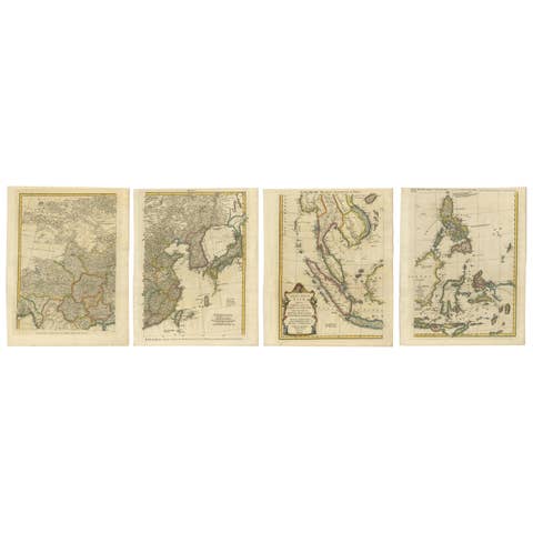
Set of Four Original Antique Maps of Asia by Bolton & Seale, circa 1770
1770 · € 7 850
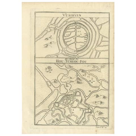
Antique Map of Wuxi and Huzhou by Prévost '1746'
1746 · € 100
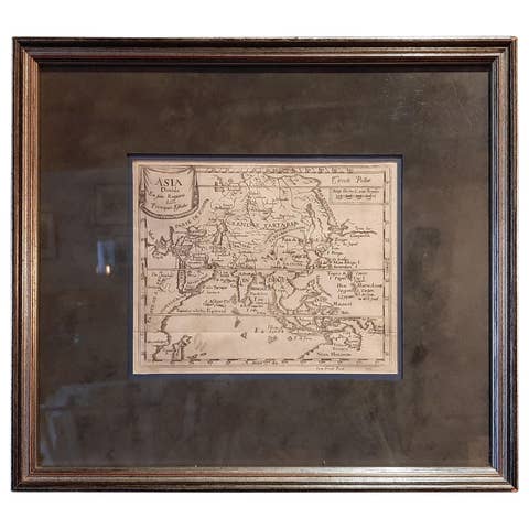
Antique Map of Asia 'in Frame, circa 1739'
1739 · € 800
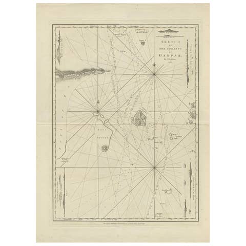
Antique Map of the Gaspar Strait by Huddart, '1788'
1788 · € 950
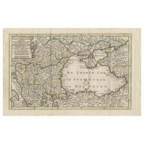
Antique Map of the Black Sea and Surroundings by Keizer & de Lat, 1788
1788 · € 350

Antique Map of Western Asia by Van Dùren '1752'
1752 · € 450

Antique Miniature Map of the Maluku Islands by Van Esveldt & Holtrop 'c.1790'
1790 · € 200
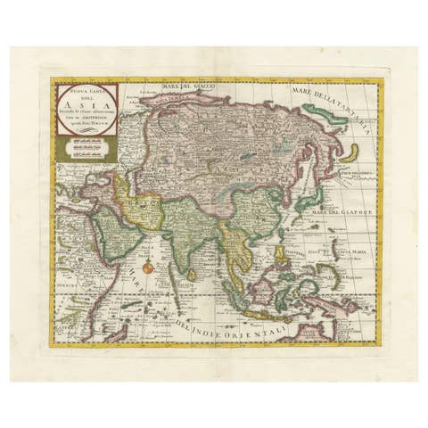
Antique Map of Asia by Tirion 'c.1760'
1760 · € 1 100

Antique Map of the Tunquin River and Bay by Van Schley 'c.1750'
1750 · € 150
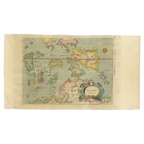
Antique Miniature Map of the Maluku Islands by Lasor a Varea, 1713
1713 · € 600
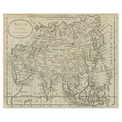
Antique Map of Asia by Guthrie, 1787
1787 · € 145
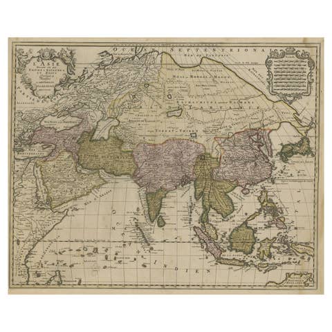
Large Antique Map of Asia including All of Southeast Asia, c.1792
1792 · € 1 500
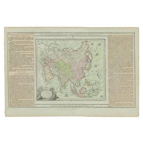
Antique Map of Asia Showing all of Indonesia and the Marianas, 1790
1790 · € 217
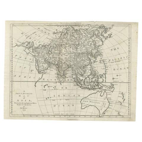
Antique Map of Asia and Australia with a Speculative Coastline, 1777
1777 · € 420
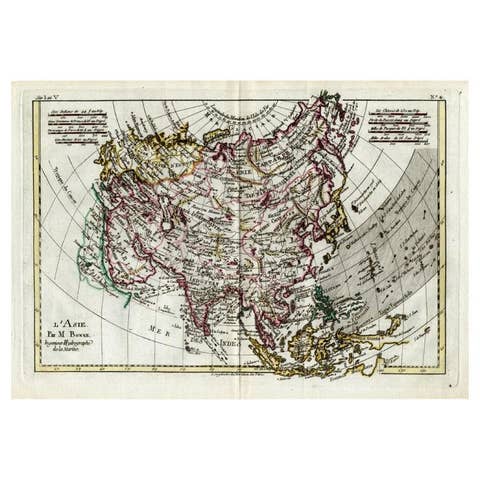
Attractive Antique Map of Asia with Borders Hand-Colored, c.1780
1780 · € 450
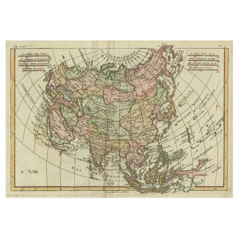
Antique Map of Asia, Showing Tradewinds, Silke Route Cities Etc, c.1780
1780 · € 450

Antique Map of Asia with Additional Country Information, c. 1749
1749 · € 1 800
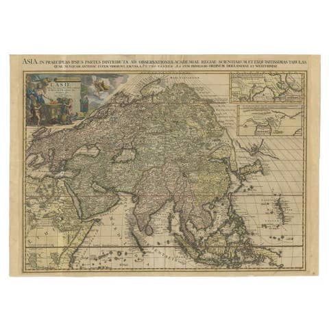
Important and Scarce Antique Map of Asia from Jesuit Sources, C.1713
1713 · € 3 500
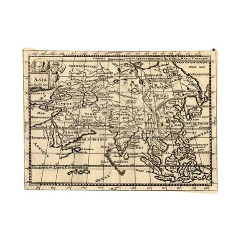
Rare Antique Map of Asia with Cartouche Depicting an Elephant, 1753
1753 · € 350

Antique Map of Continental Asia, with Japan, Arabia, India, Russia, etc c.1702
1702 · € 1 350
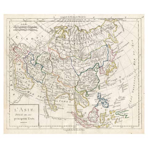
Antique French Map of Asia with Original Border Coloring, c.1785
1785 · € 120
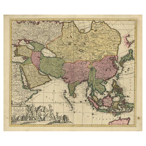
Antique Map of Asia with Northern Portion of Australia “Hollandia Nova", 1727
1727 · € 1 650
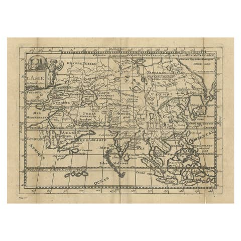
Antique Map of Asia with Misshaped Coastlines and Distorted Islands c.1760
1760 · € 139
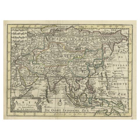
Rare Hand-Colored Antique Map of Asia, 1788
1788 · € 620
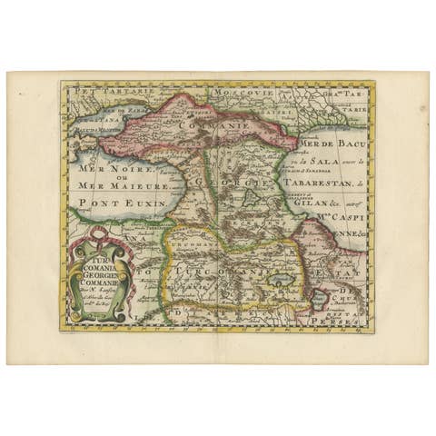
Historical Map of the Black Sea and Surrounding Regions, 1705
1705 · € 660
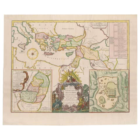
Antique 1743 Map – Travels of Jesus Christ & Apostles by Seutter
1743 · € 1 690
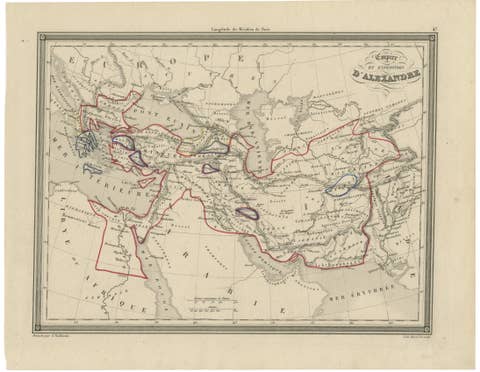
Alexander the Great’s Empire Map — Classical Campaign Routes, c.1800
1800 · € 495
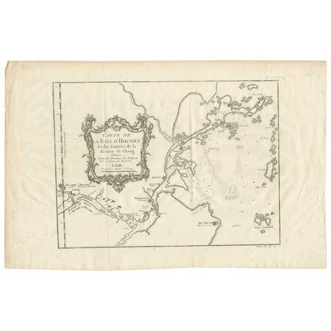
Antique Map of the Mouth of the Yangtze River 'China' by J.N. Bellin, 1764
1764 · € 227
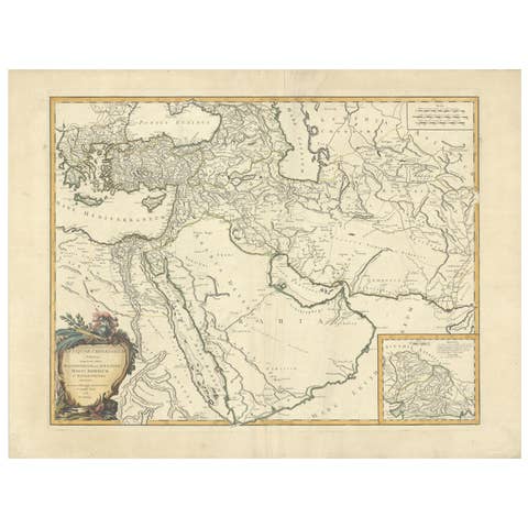
Antique Map of Alexander the Great's Empire & Campaigns, de Vaugondy, 1753
1753 · € 636
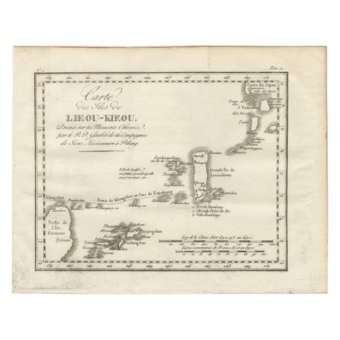
Antique Map of the Ryukyu Islands – Map of the Islands of Lieou-Kieou, c.1760
1760 · € 460
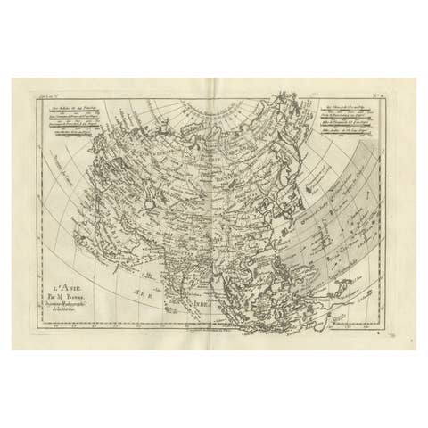
Asia in the Age of Exploration – Antique Map by Rigobert Bonne, c.1780
1780 · € 360