1885 Shinsen Tokyo Zenzu: Rare Meiji-Era Map of Tokyo by Sakai Kinzaburo
€ 1 440
Original antique · The actual sheet photographed · Certificate of authenticity on request · Sold unframed · Worldwide shipping from € 15 (rates)
Date
1885
Sheet size
50 × 70 cm (19.7 × 27.6 in)
Condition
Fair
Reference
BGCP-015
What the condition grades mean
Excellent
Bright and clean, with no faults worth mentioning.
Very good
Only light signs of age, such as faint toning.
Good
Normal signs of age for a sheet of this period: toning, some foxing, small marks or neat old repairs.
Fair
Clear faults such as staining, tears or repairs, priced to match.
Every fault we see is written in the condition note, and the whole sheet is shown uncropped in the photos.
Condition
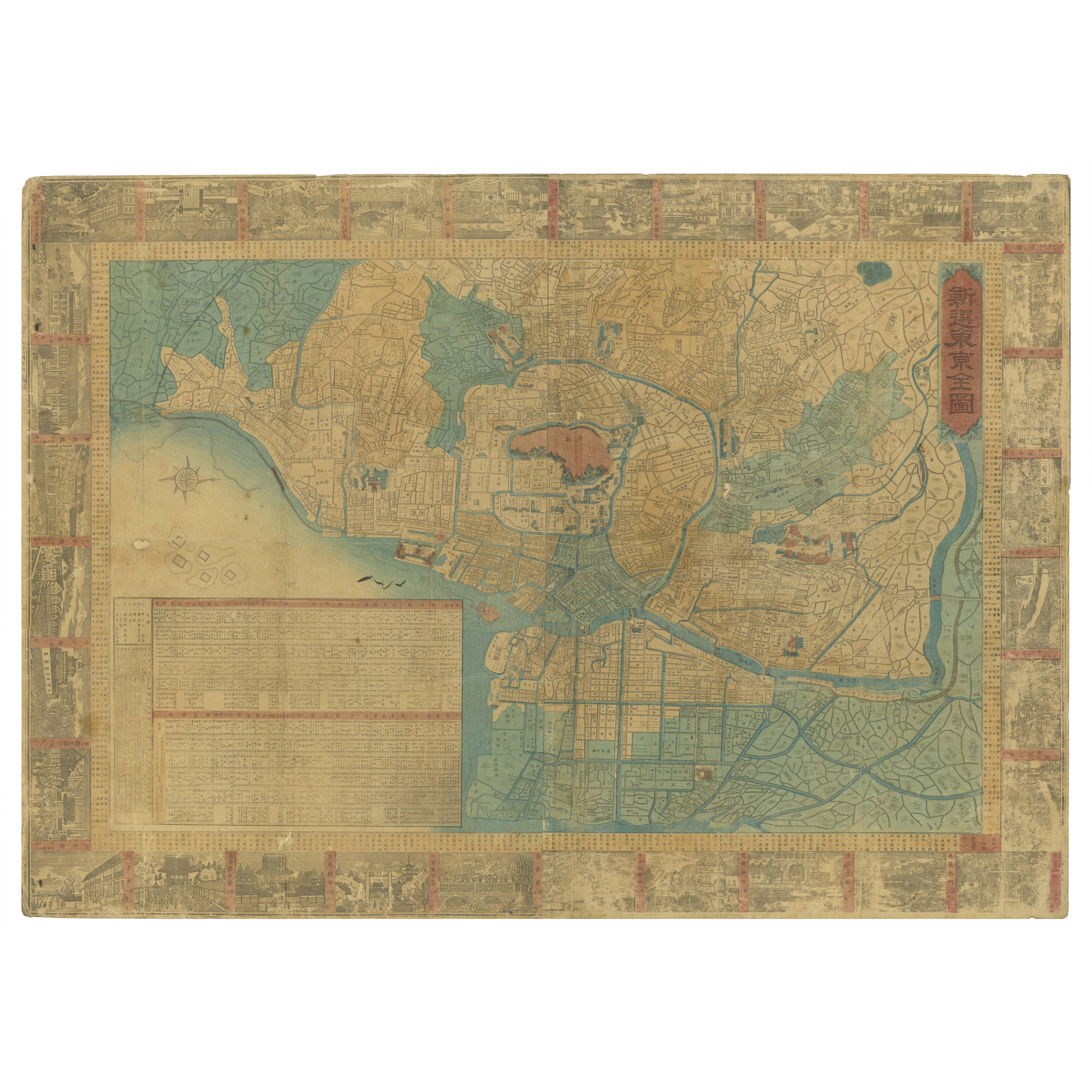
Age-appropriate wear with toning and mild foxing. There is evidence of previous folds but flattened when it was mounted on board for support. The colors remain vivid and this decorative patina rich map is overall in fair condition.
About this sheet
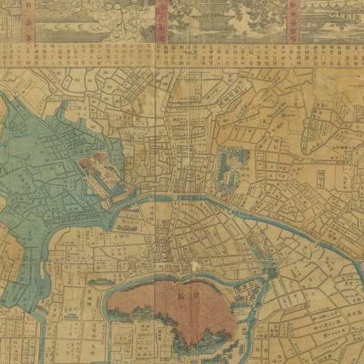
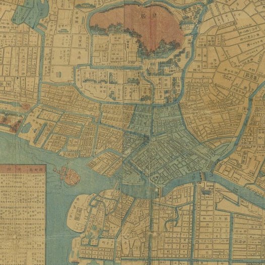
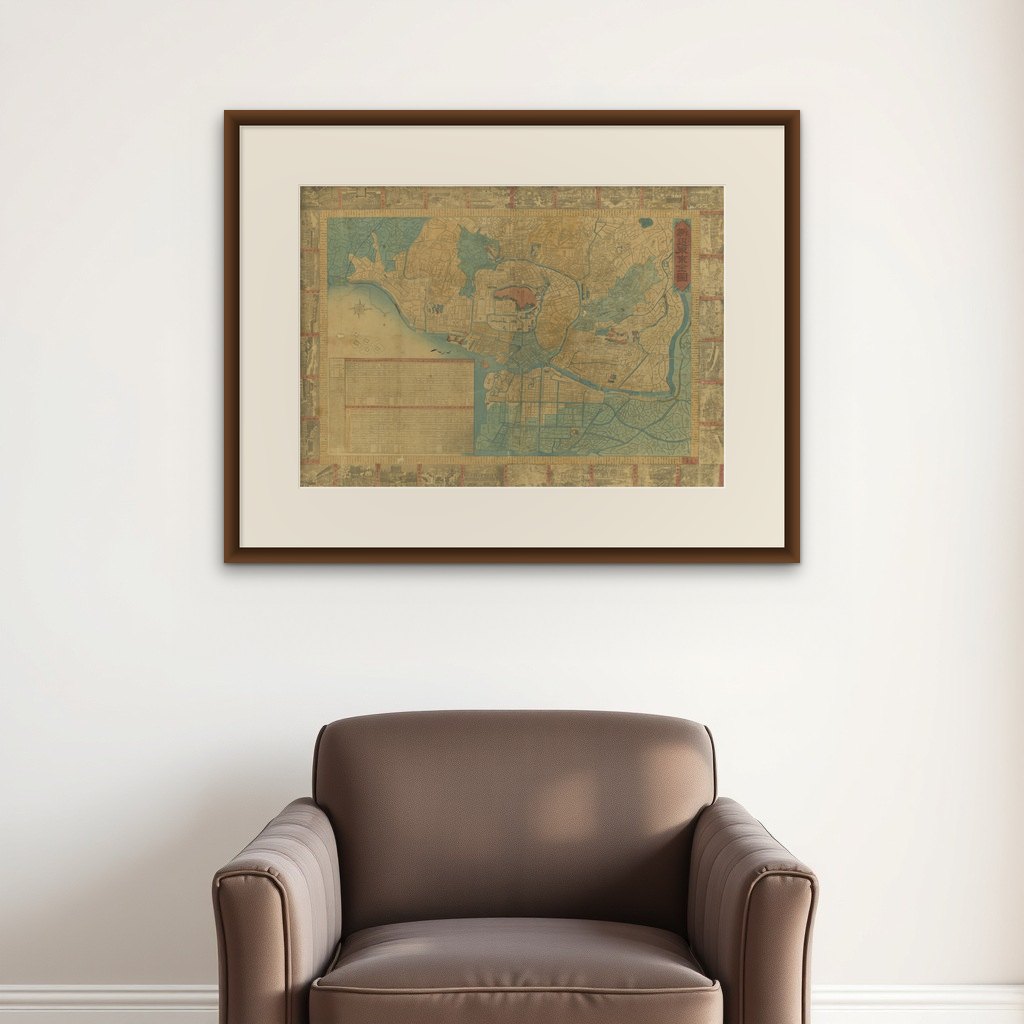
This beautifully detailed patina rich map, titled "Shinsen Tokyo Zenzu" (Newly Selected Complete Map of Tokyo), was created by Sakai Kinzaburo and published in 1885 during the late Meiji period. The map provides a comprehensive view of Tokyo’s urban layout, showcasing the city’s neighborhoods, waterways, and landmarks as it transitioned from Edo to a modern metropolis.
The map is adorned with woodblock-style illustrations of Tokyo’s iconic sites along its borders, including shrines, temples, and famous views. It also includes a detailed legend, address charts by ward, and population data, making it both a functional document and a visual masterpiece. The orientation of the map, with north to the right, is typical of Japanese cartography from this period, offering a unique perspective of the city.
This map serves as a remarkable historical document, reflecting the rapid modernization of Tokyo during the late 19th century. Its artistic and practical details capture a pivotal moment in Japan’s history, blending traditional and modern elements. Collectors and history enthusiasts will appreciate its cultural and cartographic significance.
The map's clear delineation of districts, roads, and waterways illustrates the complexity and organization of Edo, one of the world's largest cities at the time. The inclusion of a compass rose and inset charts suggests the map was not only decorative but also functional, possibly intended for administrative or navigational purposes. The vivid use of color enhances the visual appeal, with blue waterways contrasting beautifully against the ochre-toned land areas.
This map serves as both a historical document and a work of art, reflecting Edo’s bustling urban culture before its transformation into modern Tokyo. The surrounding vignettes offer glimpses into the city's architectural and cultural highlights, making this piece a fascinating window into Japan’s past.
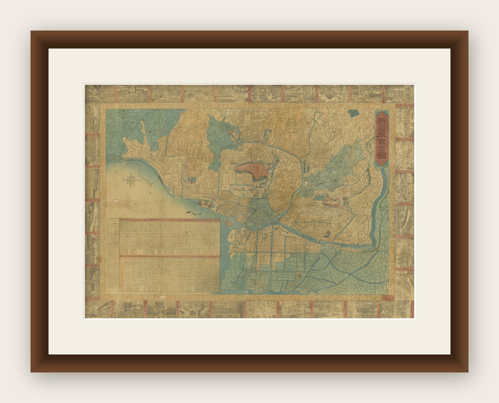
Tips for Matting and Framing: To preserve the map’s intricate details, use a wide archival mat in off-white or cream. A black or dark wood frame with minimal decoration will keep the focus on the map itself. Consider UV-protective glass to shield the delicate pigments from light exposure. For added interest, display it alongside a small plaque or text explaining its historical significance.