About this sheet

1817 Thomson Map of Northern Hindoostan – Detailed British Cartography of India
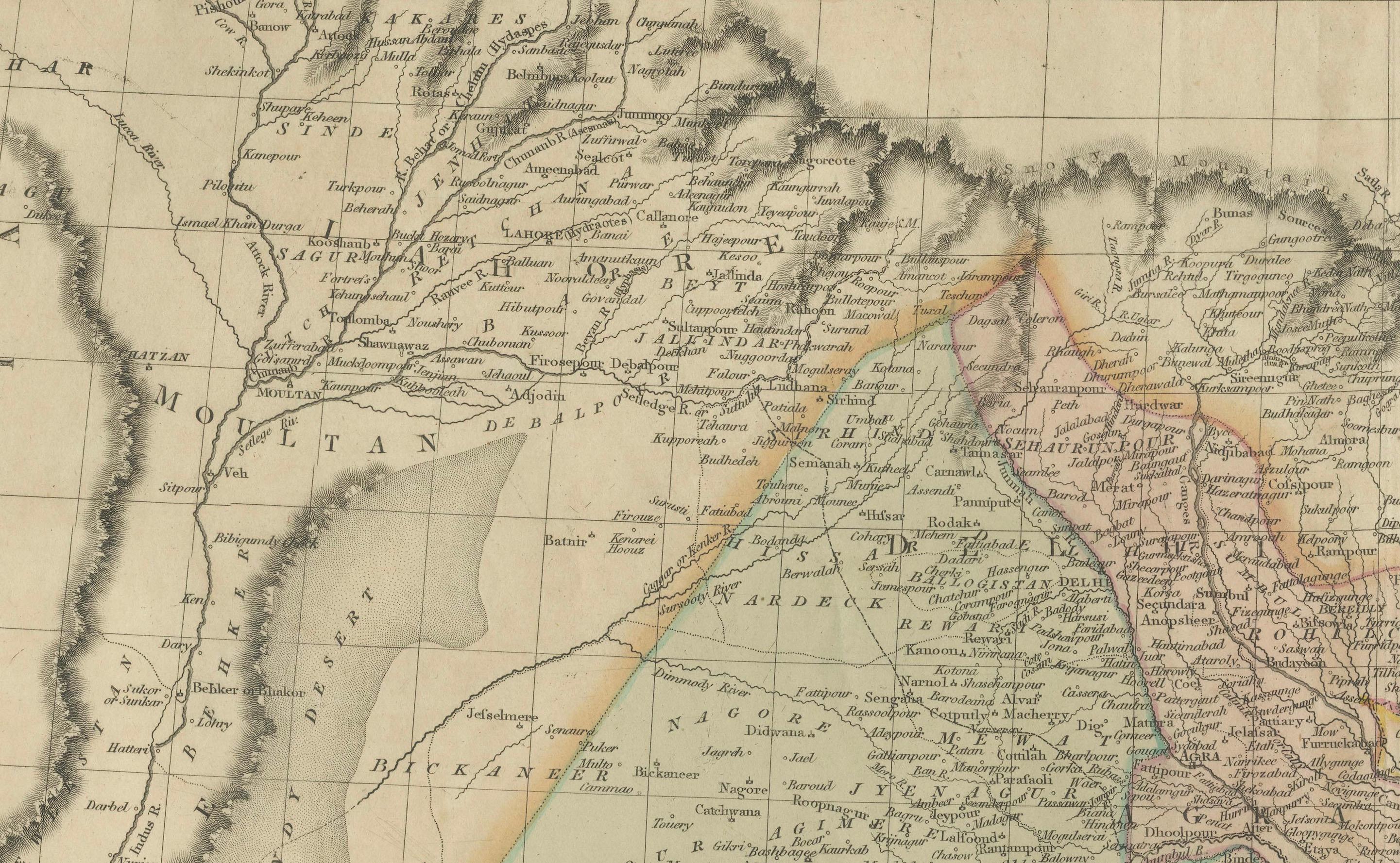
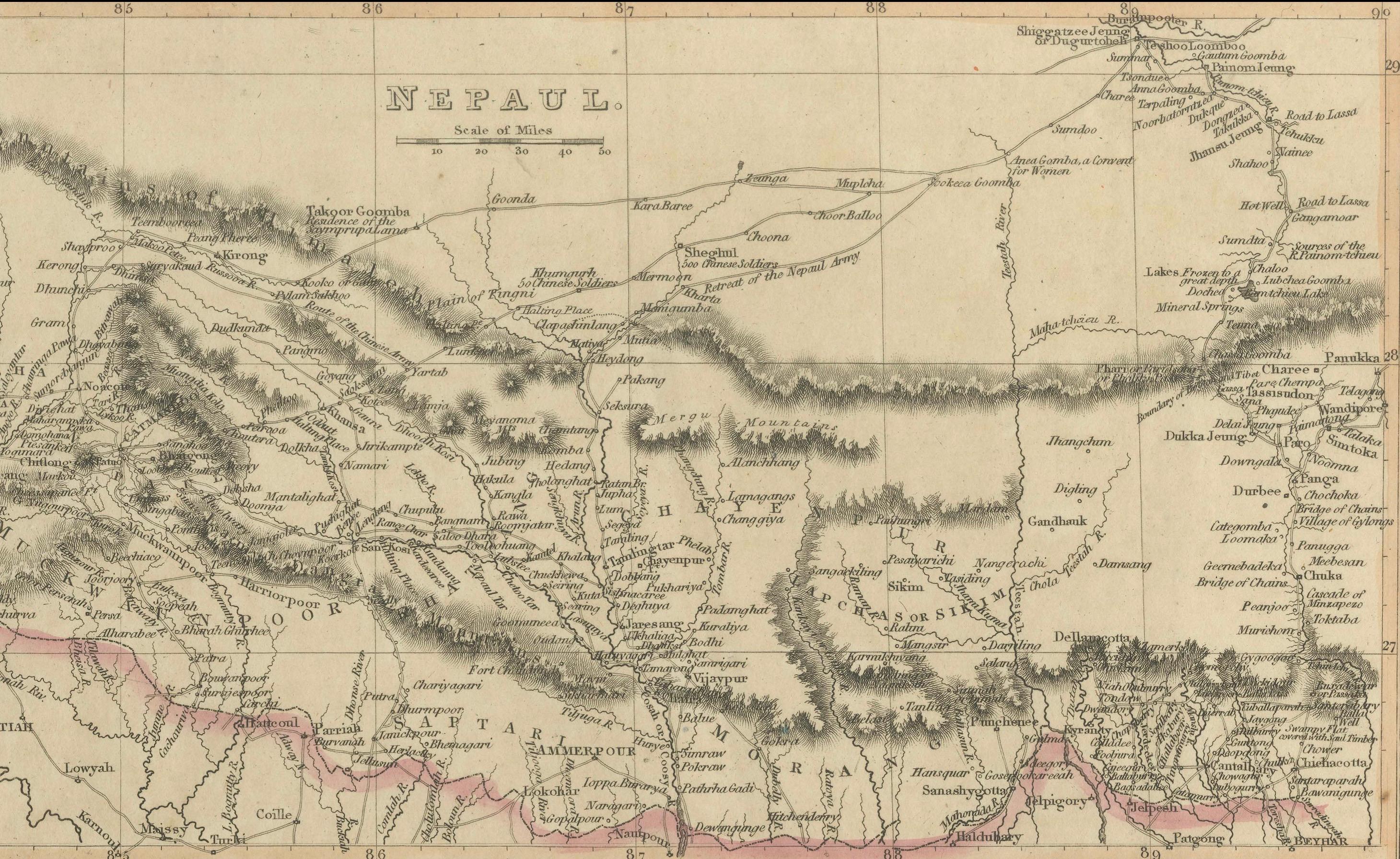
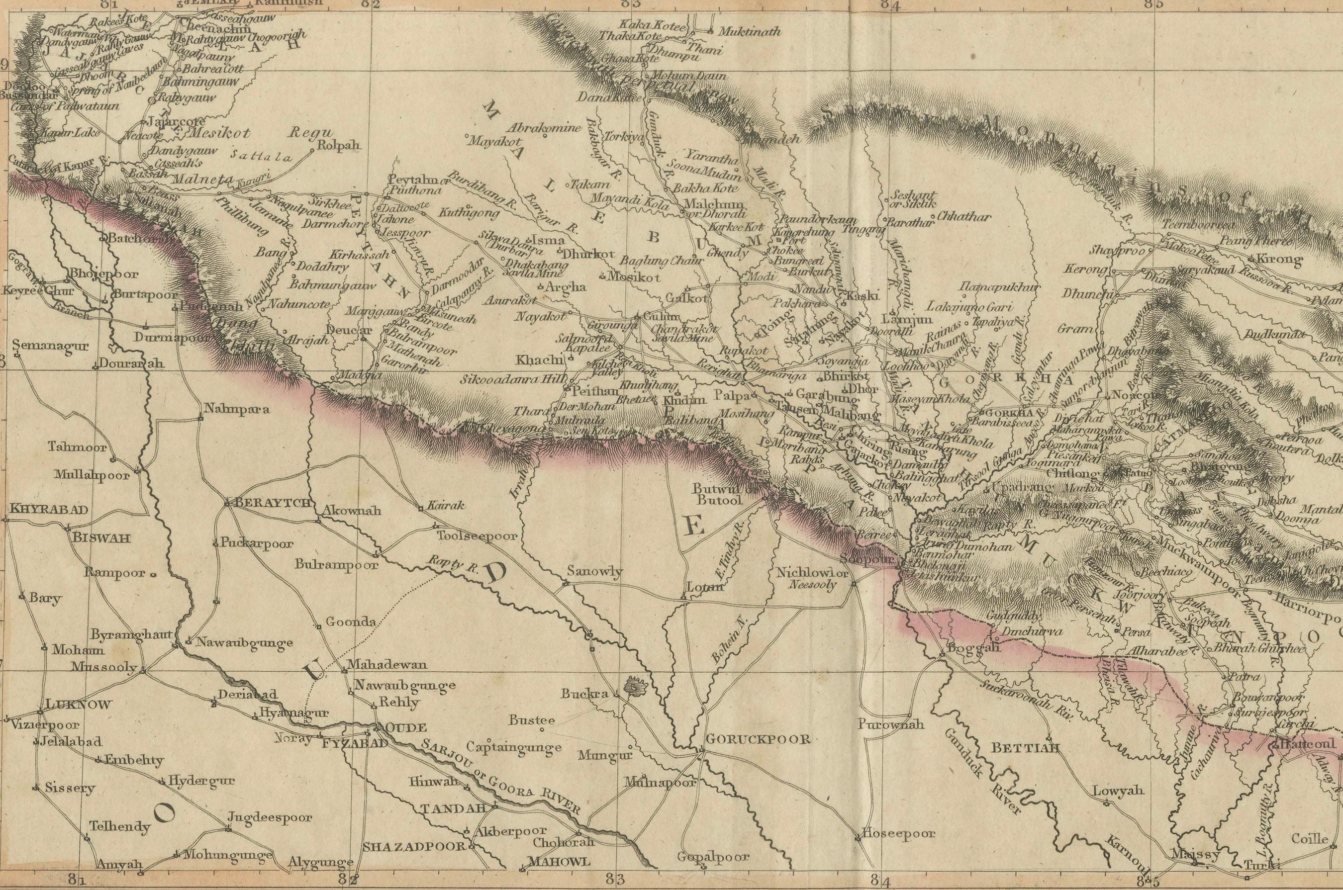
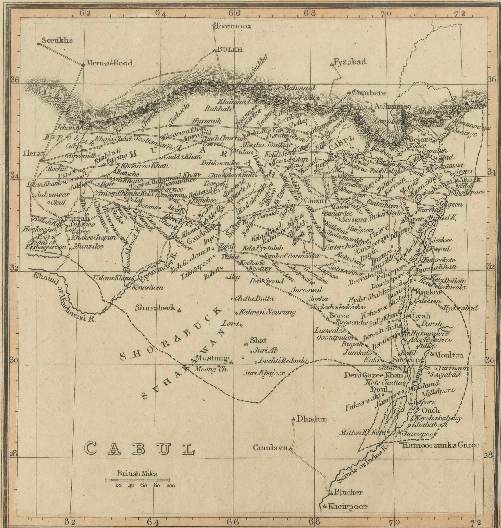
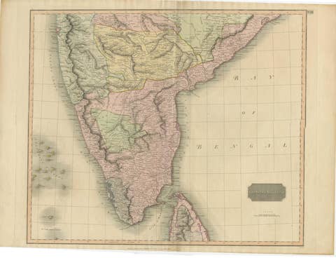
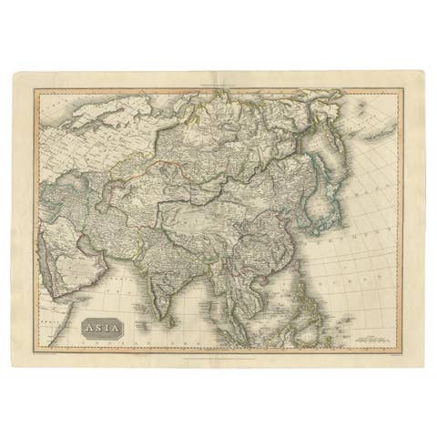
This map, titled "A New Map of Hindoostan from the Latest Authorities," was drawn and engraved for John Thomson and published in 1817. It was part of his New General Atlas, which was renowned for its accuracy and detail, reflecting British interest in the Indian subcontinent during the early 19th century.
The map covers the Indian subcontinent, which includes modern-day India, Pakistan, Bangladesh, Nepal, Bhutan, and Sri Lanka (then Ceylon). Neighboring regions like Persia (Iran), Tibet, and Burma (Myanmar) are also depicted. Important geographical features such as the Ganges and Indus rivers, the Bay of Bengal, the Arabian Sea, and the Indian Ocean are well-represented. The map also contains an inset showing the Isle of Ceylon, which played a crucial role in British colonial operations.
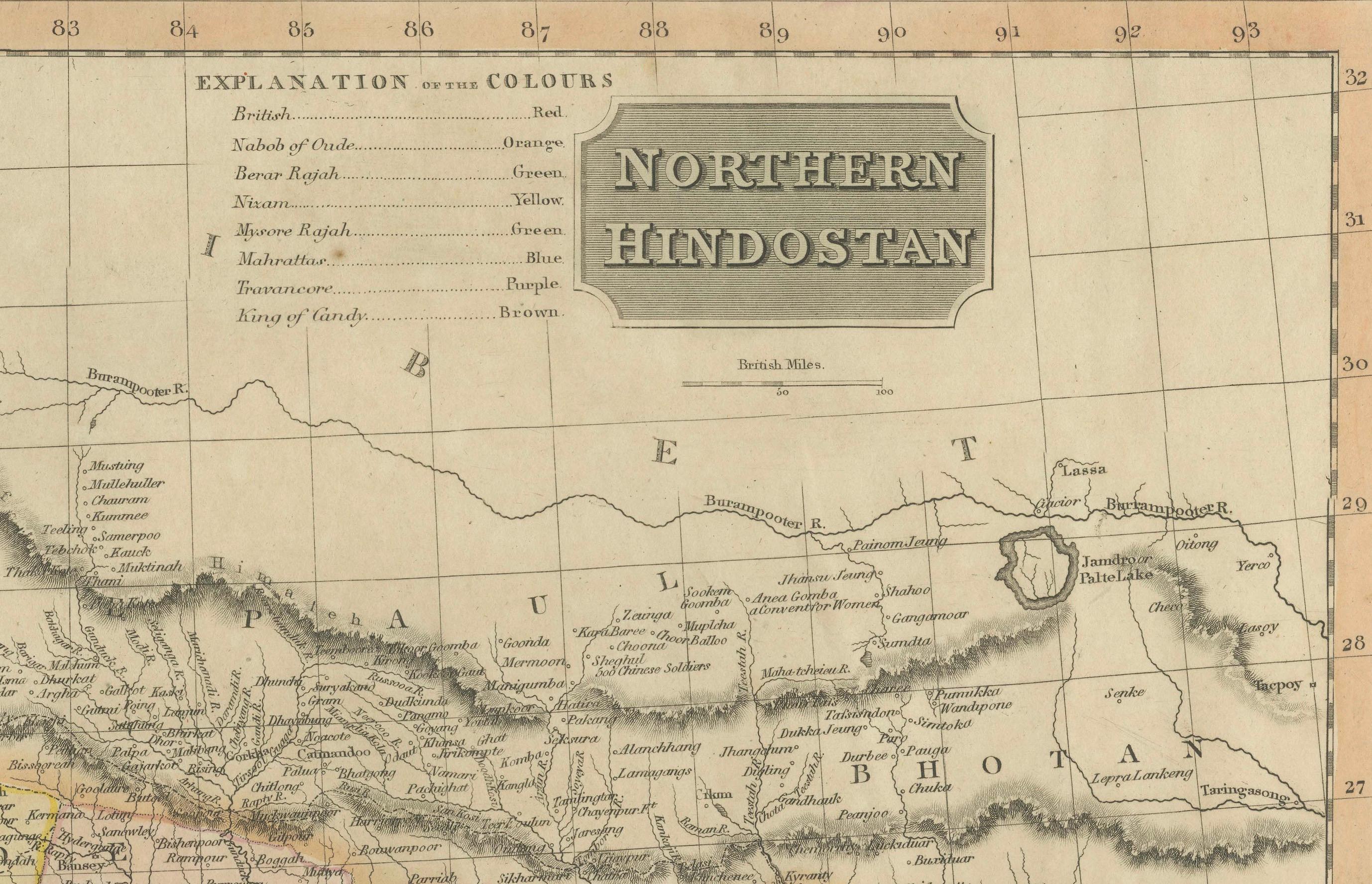
The map marks key cities of the period, including Calcutta (Kolkata), Bombay (Mumbai), Madras (Chennai), and Delhi. Political boundaries are color-coded, distinguishing various regions and provinces under British control and influence.
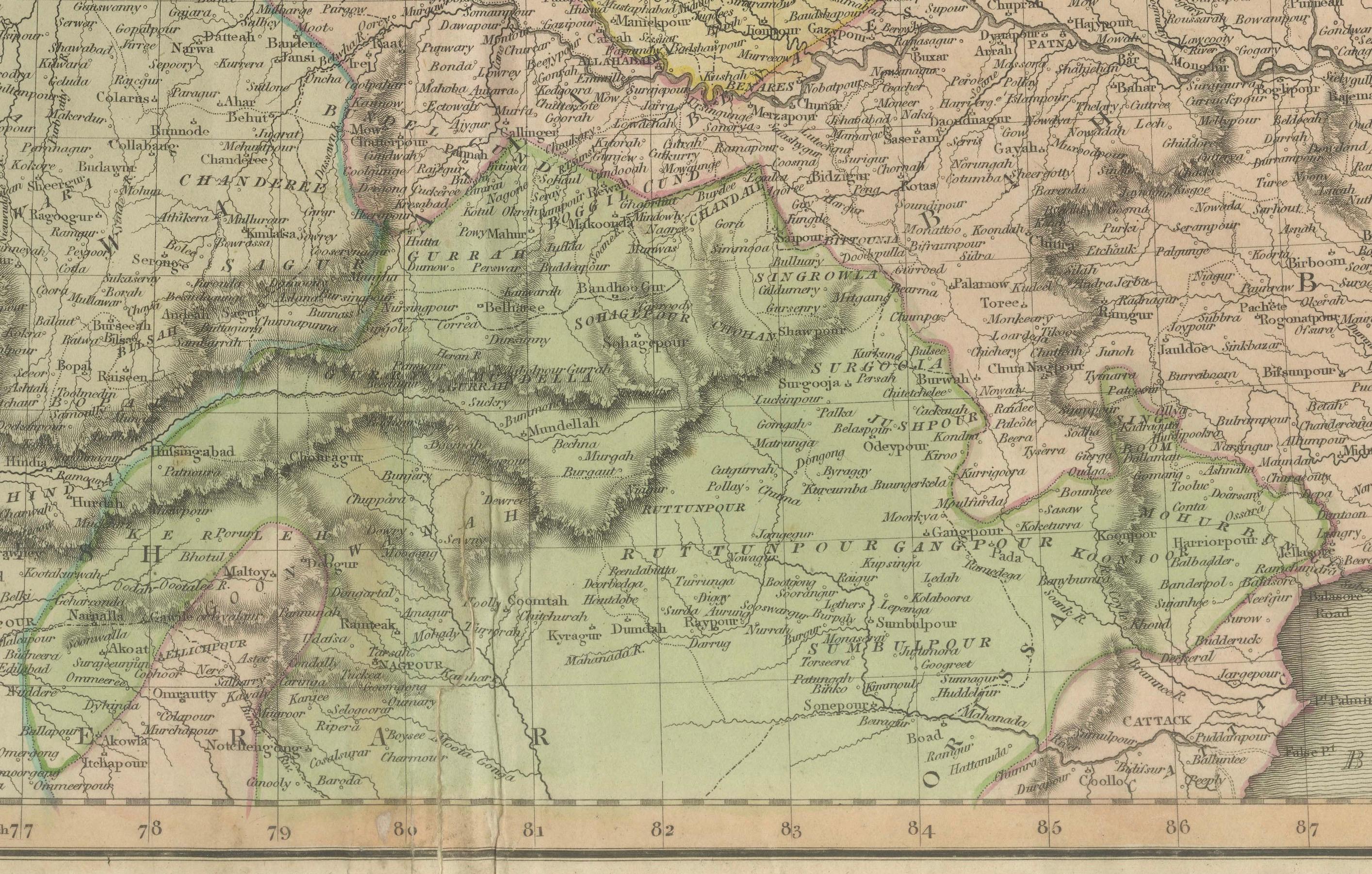
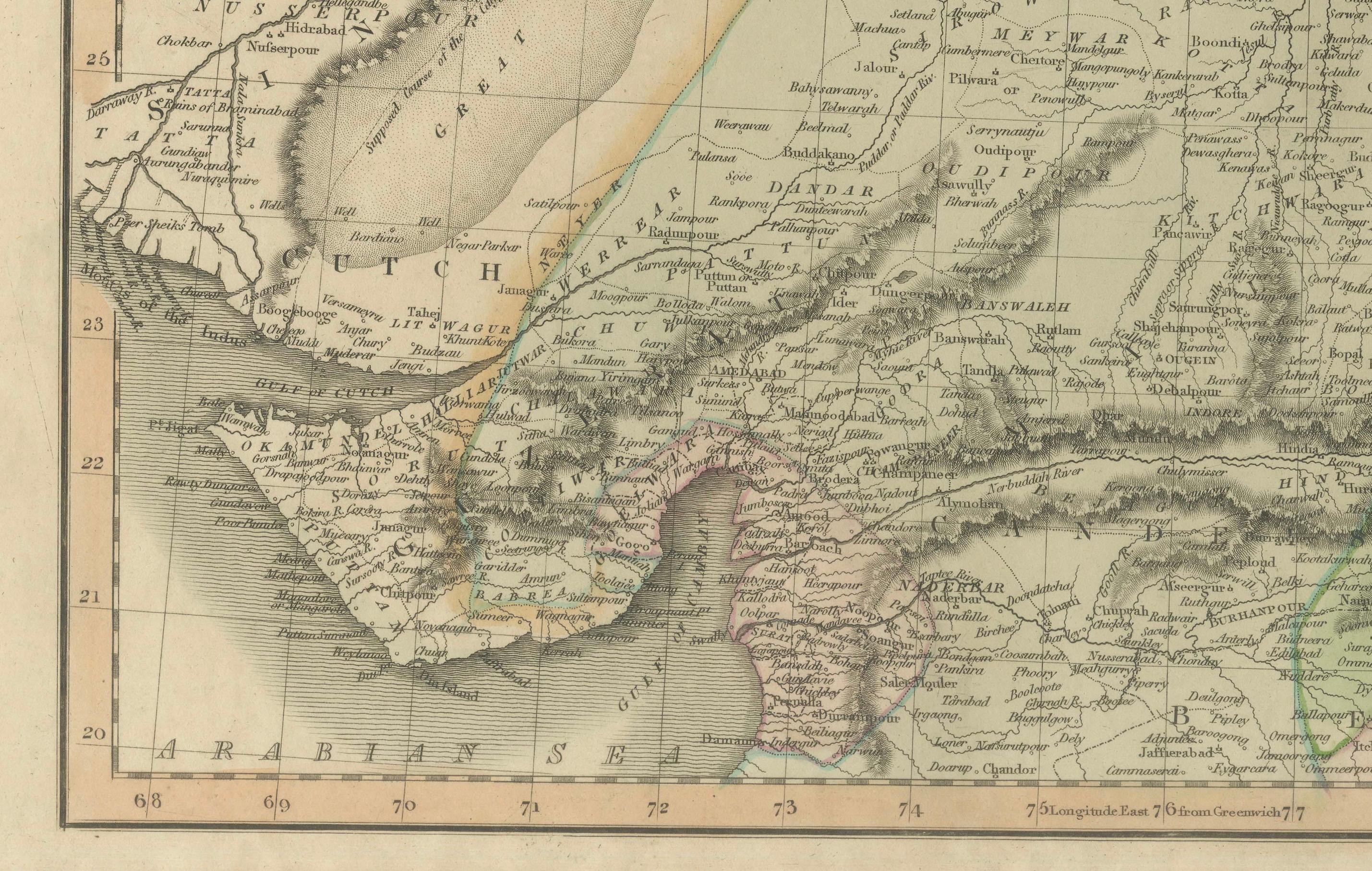
Thomson's maps are known for their high-quality engraving, and this example is no exception, featuring finely detailed topography and well-labeled trade routes and settlements. The map reflects the British Empire's increasing interest in controlling and understanding the Indian subcontinent.
**
Condition: This map appears to be in good condition for its age. The paper shows slight toning and light foxing, which are common in maps of this period. The hand-coloring remains visible, though slightly faded over time. The engraved lines are sharp and clear, and the map's margins are wide and intact. There may be some light creasing along the fold lines, but the map remains a visually appealing and historically significant piece.
This map is a fine example of 19th-century British cartography and would be an excellent addition for collectors interested in the colonial history of India or in historical maps produced by John Thomson.