Antique Maps of Asia
70 original sheets
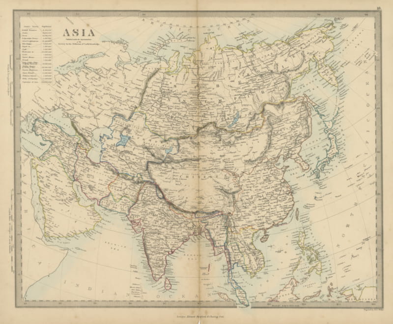
Antique Map of Asia with a Population Table of the Asiatic States, 1858
1858 · € 210
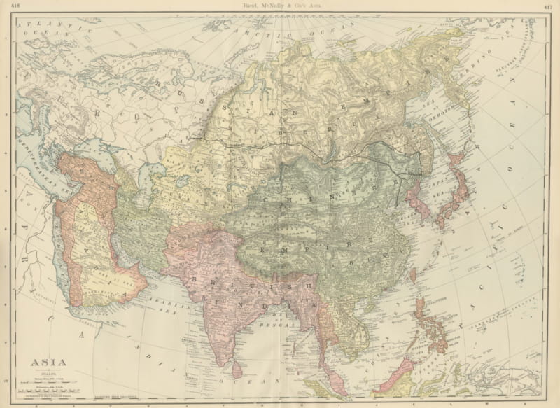
Antique Map of Asia, with British India and Japan, Rand McNally, 1899
1899 · € 395
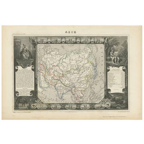
Antique Map of Asia by V. Levasseur, 1854
1854 · € 275
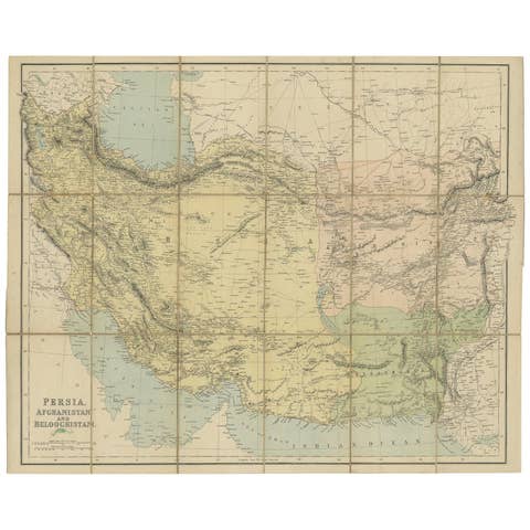
Antique Map of West Asia, circa 1900
1900 · € 1 200

Antique Map of Asia by Lapie, 1842
1842 · € 340
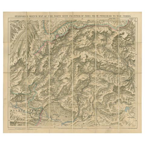
Antique Map of the North-West Frontier by Stanford, 1895
1895 · € 821
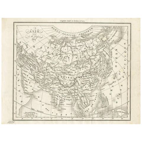
Antique Map of Asia by Dufour, circa 1834
1834 · € 200
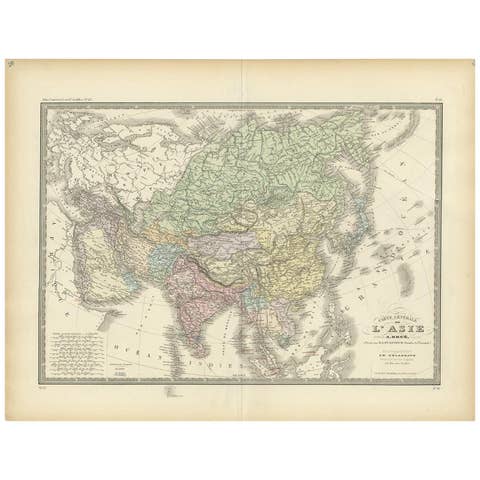
Antique Map of the Asian Continent by Levasseur, '1875'
1875 · € 500
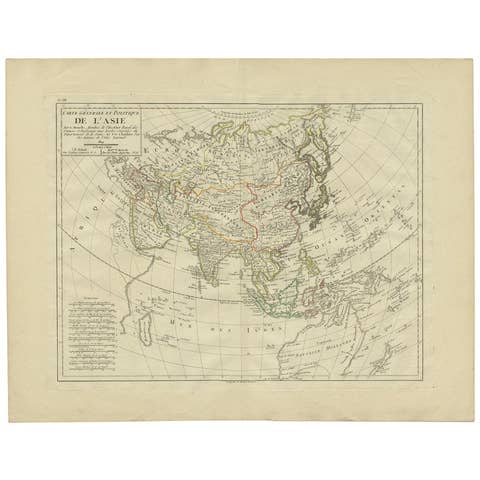
Antique Map of Asia by Mentelle, 1819
1819 · € 450
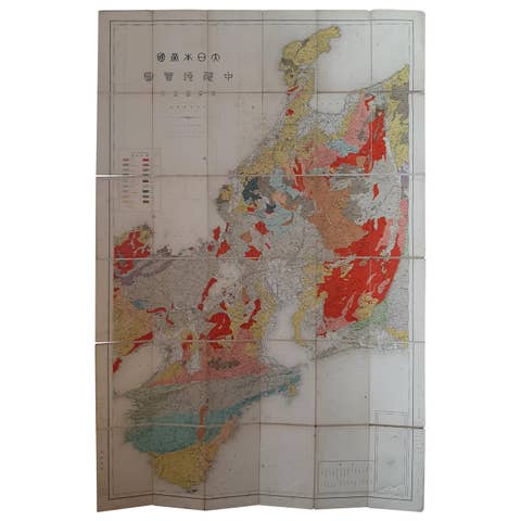
Antique Map of the Region of Wakayama, Nara and Osaka 'Japan', ca.1880
1880 · € 950
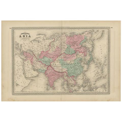
Antique Map of Asia by Johnson, 1872
1872 · € 350
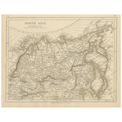
Antique Map of Northern Asia by Lowry, 1852
1852 · € 100

Antique Map of Asia by Wyld '1845'
1845 · € 200
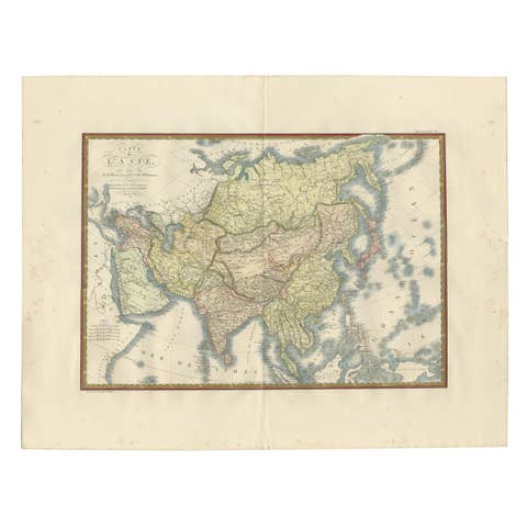
Antique Map of Asia by Brué '1820'
1820 · € 650
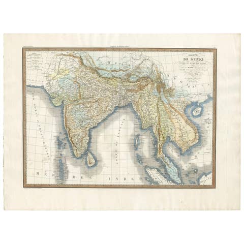
Original Antique Map of Southern Asia, Published in 1833
1833 · € 750
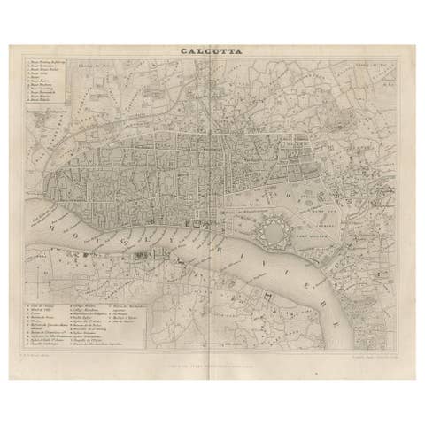
Antique Map of the City of Kolkata by Balbi '1847'
1847 · € 150
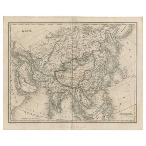
Antique Map of Asia by Balbi, Published 1847
1847 · € 200
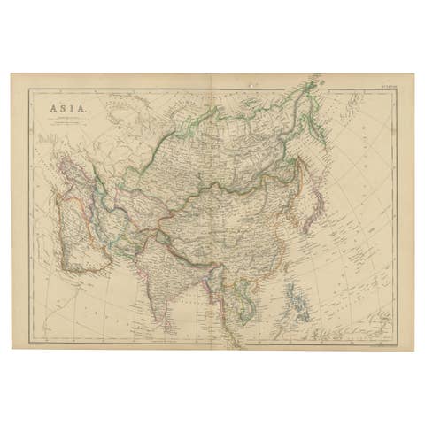
Original 1859 Map of Asia from W.G. Blackie's Imperial Atlas of Modern Geography
1859 · € 250
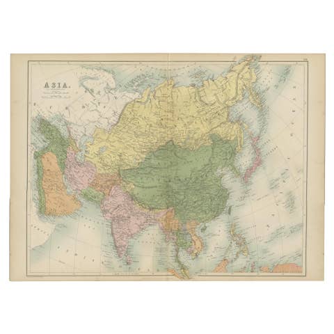
Antique Map of Asia by A & C, Black, 1870
1870 · € 250
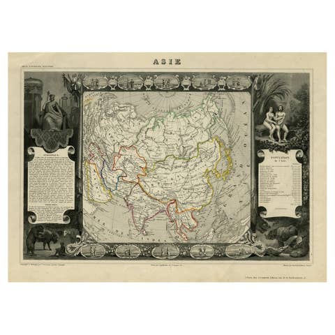
Nicely Decorated Antique Map of Asia, incl Population Figures, 1854
1854 · € 450
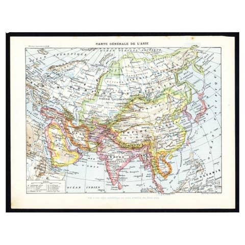
Antique Map of Asia by Larousse, 1897
1897 · € 75

Antique Map of Asia from a German School Atlas, c.1870
1870 · € 143
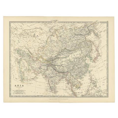
Antique Map of the Asian Continent by Johnston, 1885
1885 · € 350

Antique Map of Asia in the 12th, 13th and 14th Century, 1877
1877 · € 75
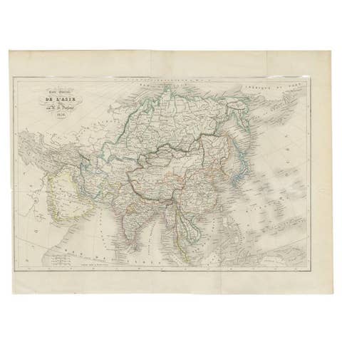
Antique Map of The Asian Continent, 1855
1855 · € 163
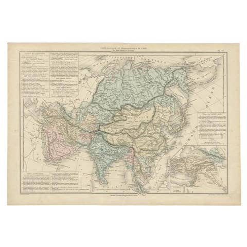
Antique Map of Asia by with an Inset Map of Turkey in Asia, 1868
1868 · € 160
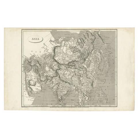
Antique Map of Asia including Arabia, 1806
1806 · € 300
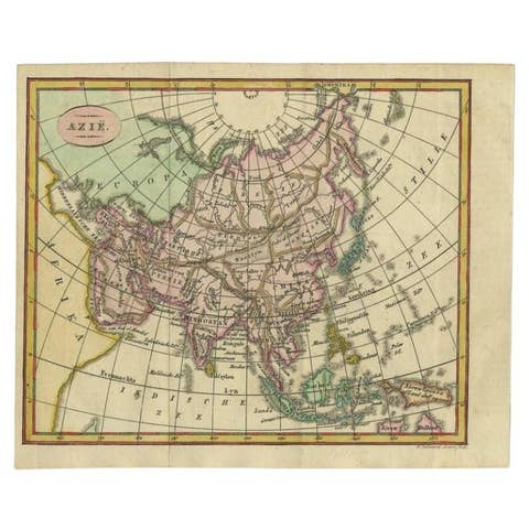
Small Antique Map of the Asian Continent, 1841
1841 · € 250
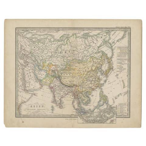
Antique Map of the Asian Continent from a German School Atlas, 1862
1862 · € 93
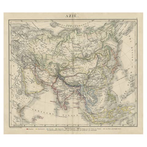
Antique Map of Asia Showing the European Language Areas, c.1873
1873 · € 117
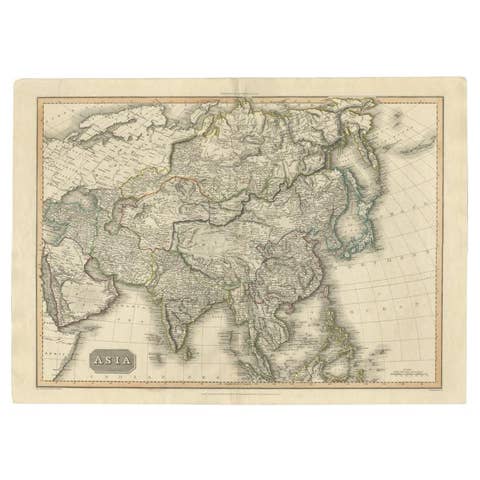
Large Antique Map of the Asian Continent, 1814
1814 · € 450
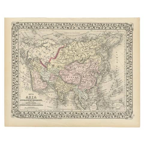
Antique Map of Asia Showing Its Political Divisions, 1874
1874 · € 180
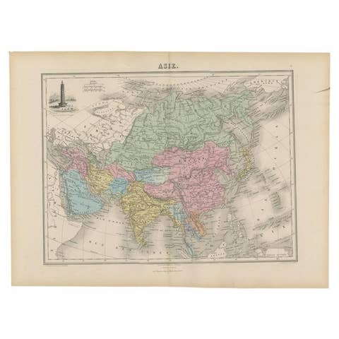
Antique Map of Asia with an Illustration of the Porcelain Tower at Nanjing, 1880
1880 · € 139
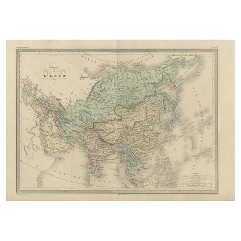
Antique Map of Asia by Malte-Brun, 1880
1880 · € 162
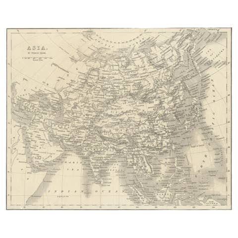
Antique Map of Asia by Young, c.1860
1860 · € 135
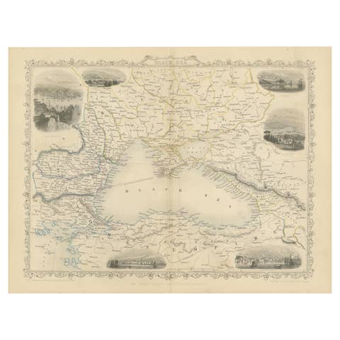
Mid 19th Century Map of the Black Sea with Decorative Vignettes, 1851
1851 · € 450
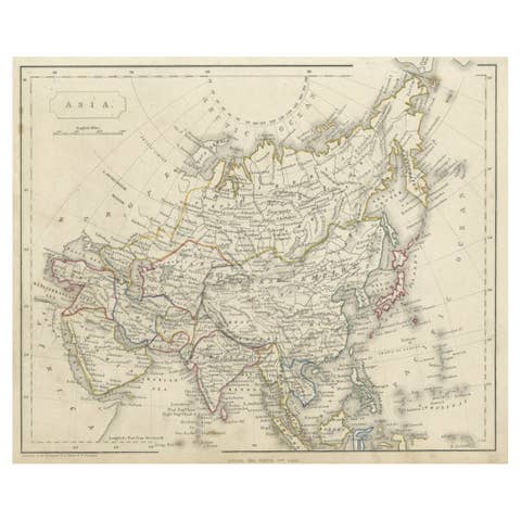
Antique Steel Engraved Map of Asia, c.1860
1860 · € 79
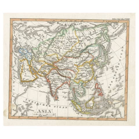
Charming Scarce Small Antique Map of Asia, 1837
1837 · € 240
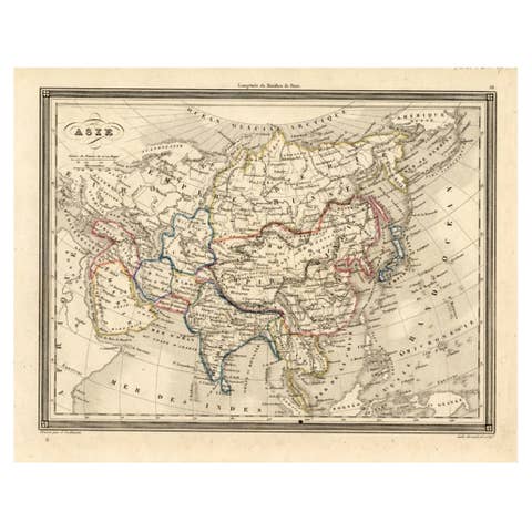
Antique Map of Asia, 1846
1846 · € 78
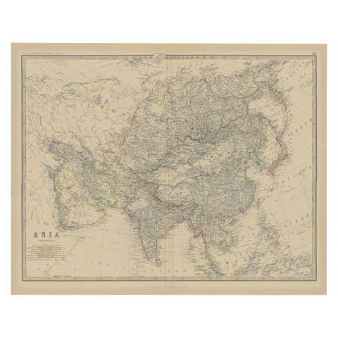
Large Antique Map of Asia The Royal Atlas of Modern Geography by Johnston, 1882
1882 · € 290

Antique Map of Asia by Delamarche, 1826
1826 · € 240
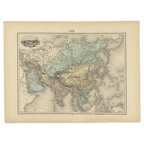
Antique Map of Asia, Vignette of Benares 'Varanasi' Showing Ganges River, 1892
1892 · € 240
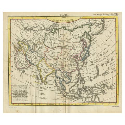
Antique Map of Asia from the Middle East to the Coast of Alaska, 1816
1816 · € 160
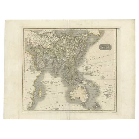
Antique Map of Asia Depicting Asia and Australia, c.1814
1814 · € 350
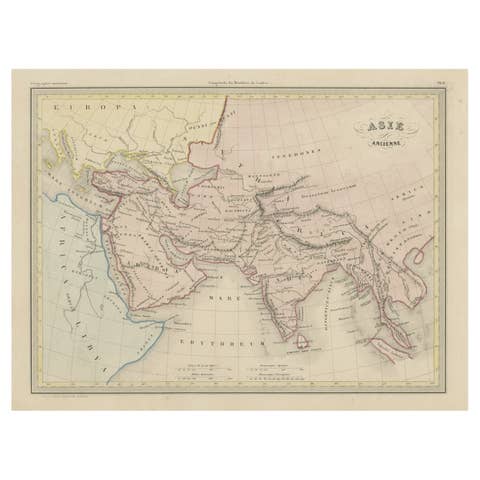
Original Antique Map of Ancient Asia, 1847
1847 · € 173
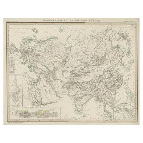
Original Antique Map Showing the Mountain Ranges in Asia and Europe, 1849
1849 · € 280
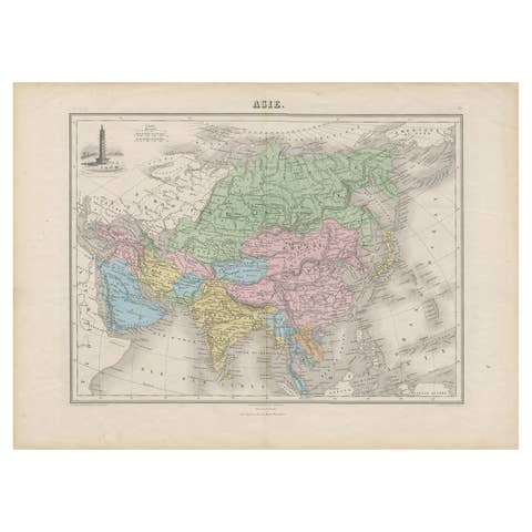
Antique Map of Asia with the Porcelain Tower at Nanjing, China, 1884
1884 · € 220
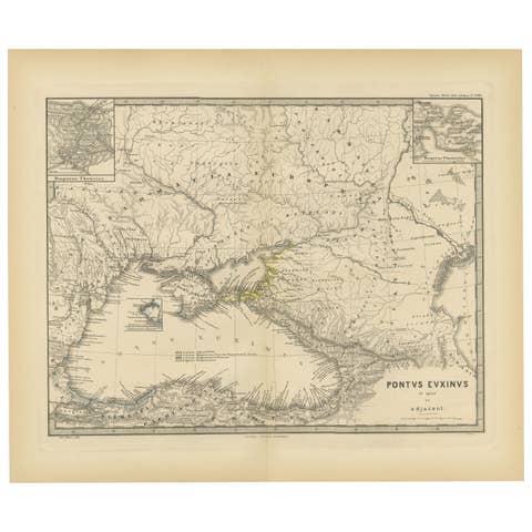
Black Sea in Antiquity: Pontus Euxinus Map, Published in 1880
1880 · € 370