About this sheet
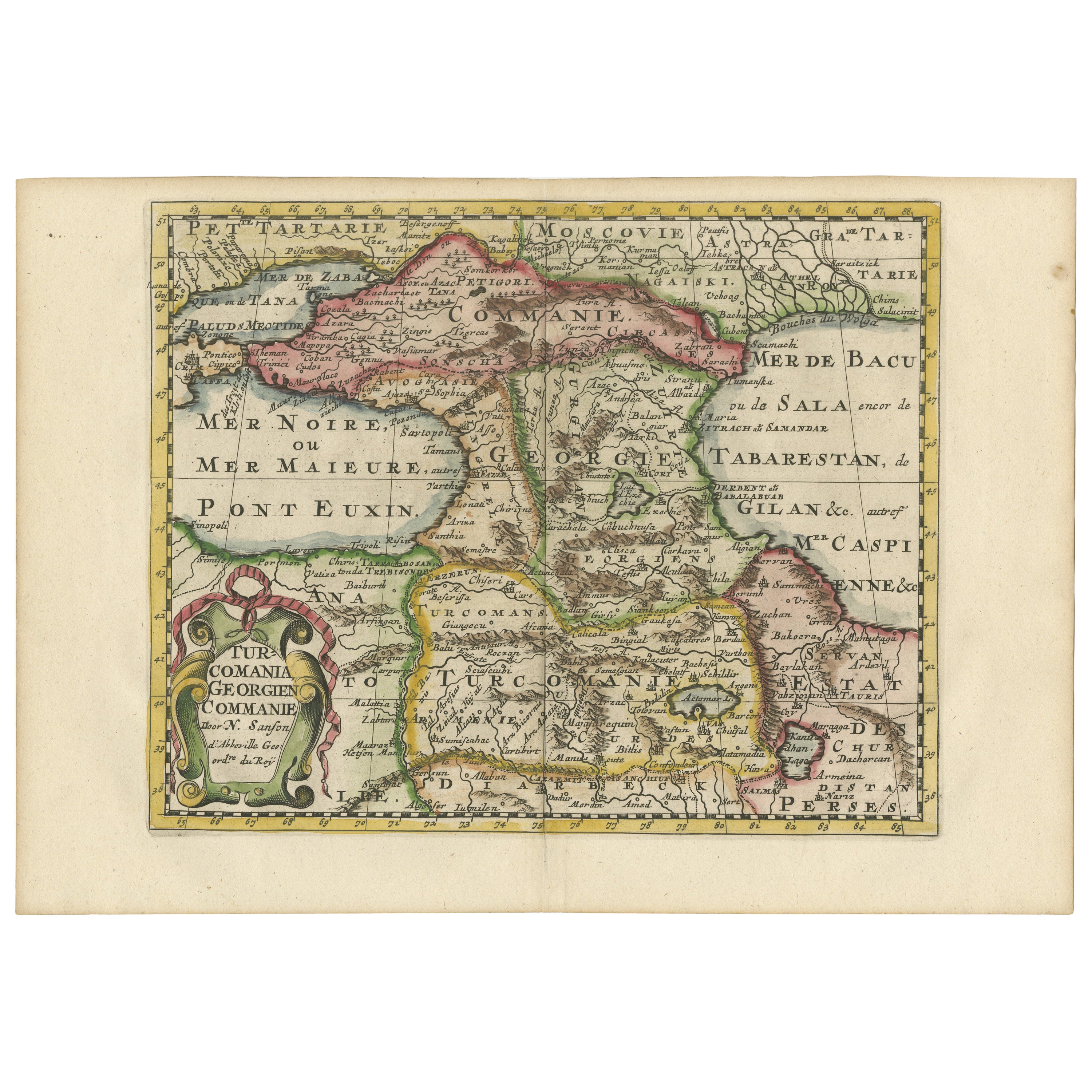
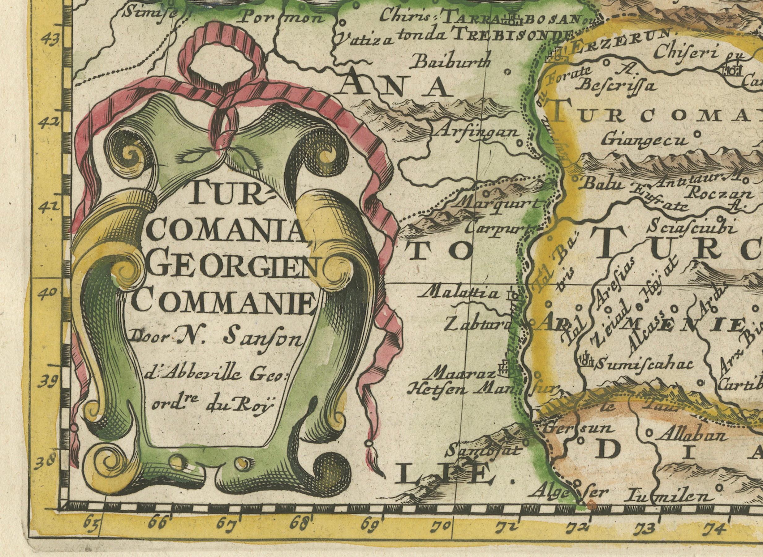
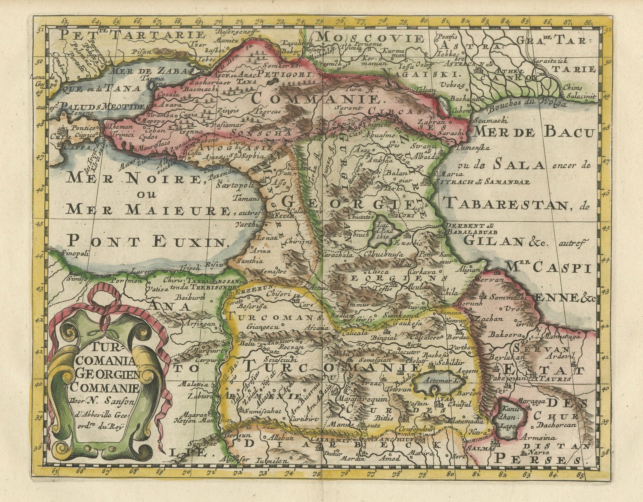
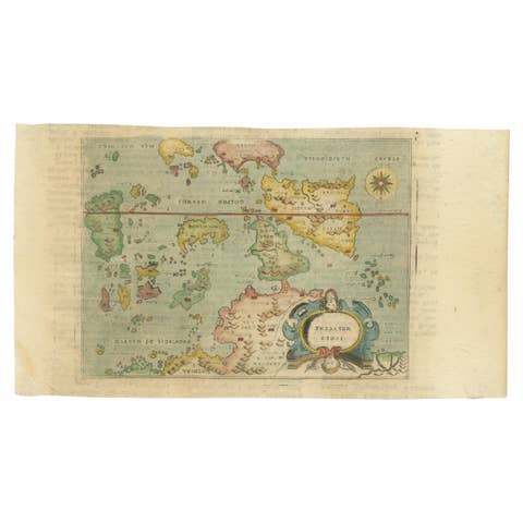
This print presents an intricately detailed map of the Caucasus region, titled “Turcomania, Georgien Commanie,” by the esteemed cartographer Nicolas Sanson. Published in 1705, the map's dimensions are 9.3 x 7.5 inches (23.6 x 19.1 cm) and it features hand-applied coloration, enhancing both its clarity and aesthetic appeal.
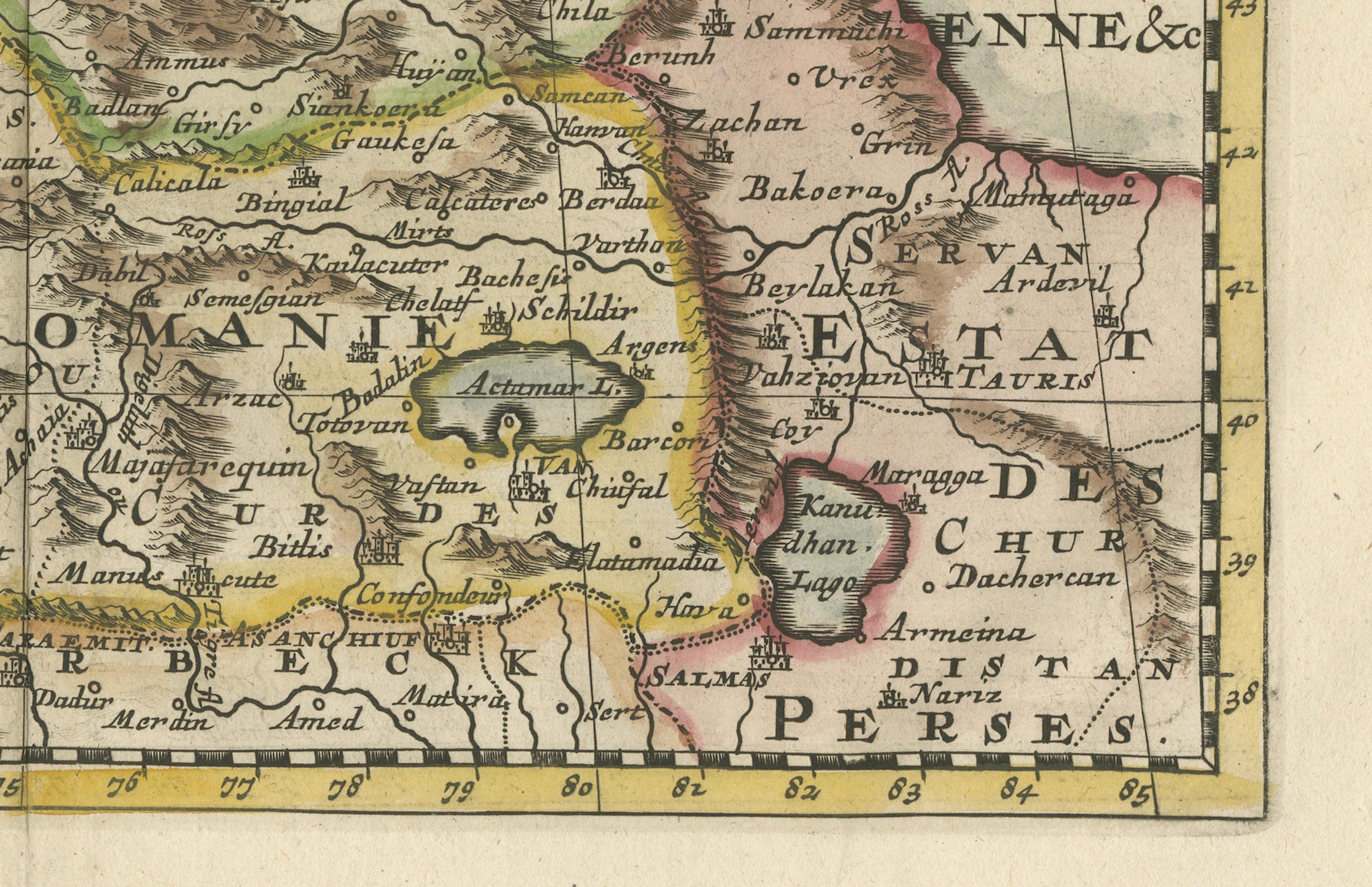
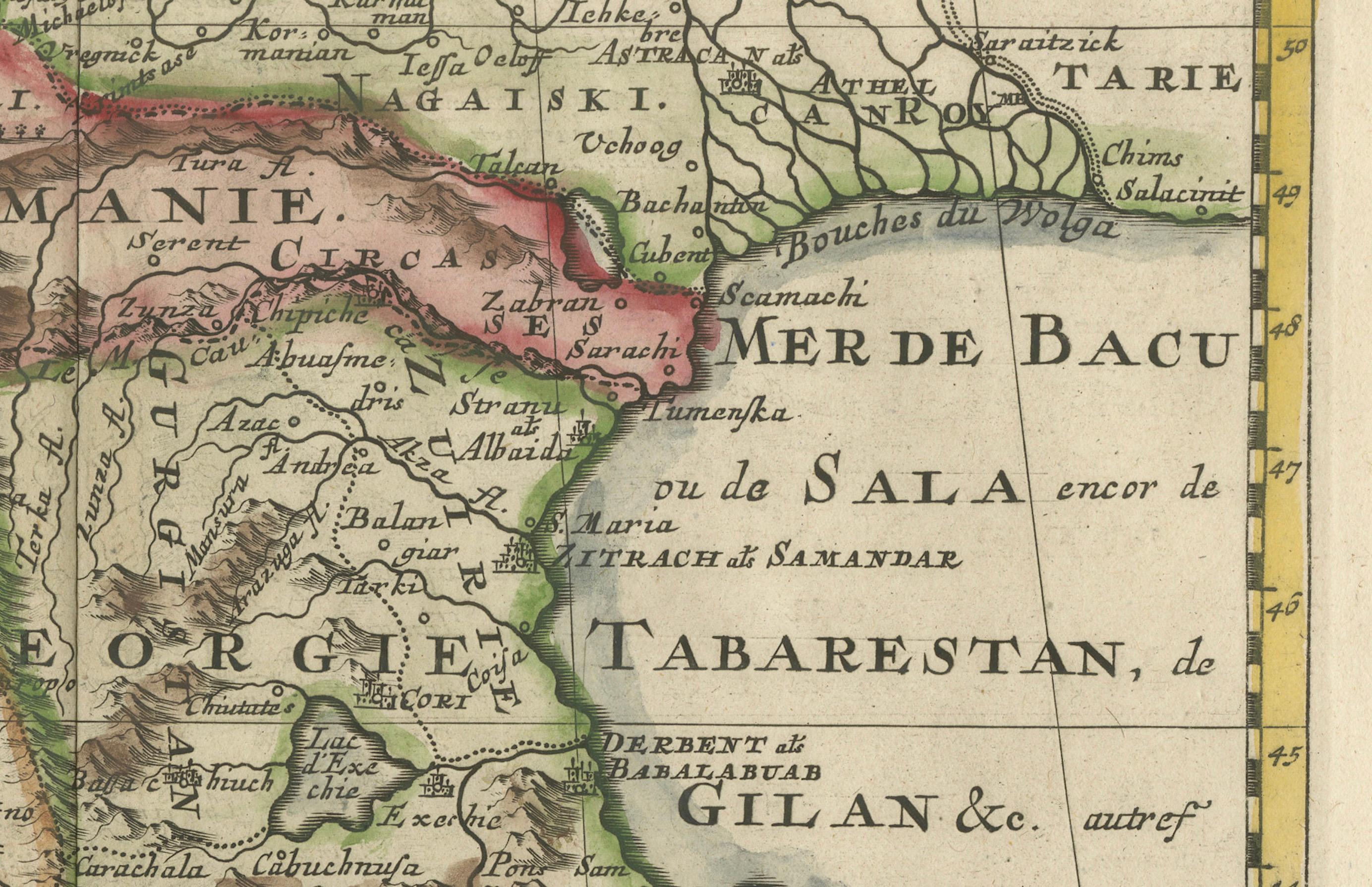
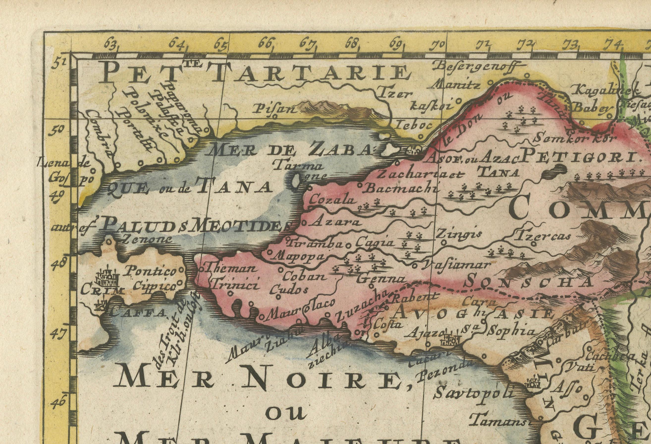
The map provides a comprehensive view of the geography of the Caucasus, with a focus on the areas known historically as Georgia, Armenia, and parts of Turkey and Iran, bordered by the Black and Caspian Seas. It includes depictions of significant cities, mountain ranges, and river systems, offering insight into the region's topography and settlements during the early 18th century.
A notable artistic element of the map is the ornate strapwork cartouche that graces the piece. This feature not only serves as a decorative title space but also contributes to the map's overall grandeur, reflecting the style and artistic conventions of the period.
The legacy of Nicolas Sanson's work is evident in the fact that his maps from "L'Asie en Plusieurs Cartes," originally published in 1652 and engraved by A. Peyrounin, were widely reproduced and adapted. These reproductions were undertaken by several map publishers, such as Johann David Zunners, Johannes Ribbius, and Simon de Vries, indicating the widespread influence and demand for Sanson's accurate and detailed cartographic representations.
The map's historical context is enriched by its journey through various hands and adaptations, with the engraving plates eventually being sold to Francois Halma. The titles on these maps were altered multiple times, translated into Dutch, and later reverted to French, reflecting the international interest in and utility of Sanson's cartography.
As a part of "Algemeene Weereld-Beschryving," this map is not only a geographic document but also a piece of art, which would have been prized by scholars, navigators, and collectors alike during the time of its production and remains a valuable historical artifact today.