Antique Maps of Asia
120 original sheets
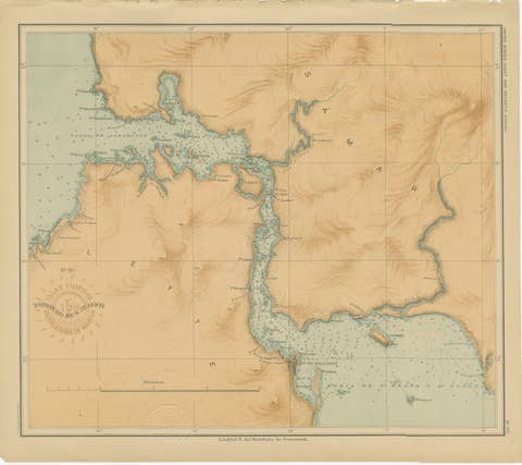
Map of the San Juanico Strait between Leyte and Samar – 1899
1899 · € 230
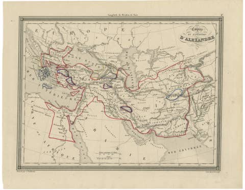
Alexander the Great’s Empire Map — Classical Campaign Routes, c.1800
1800 · € 495
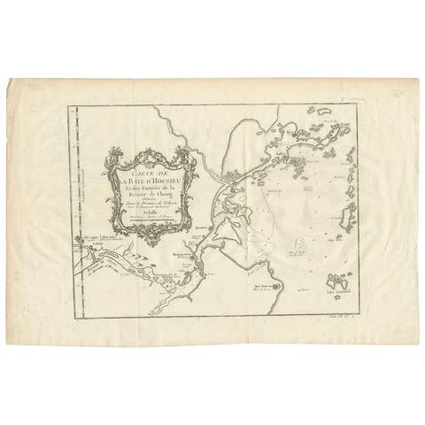
Antique Map of the Mouth of the Yangtze River 'China' by J.N. Bellin, 1764
1764 · € 227
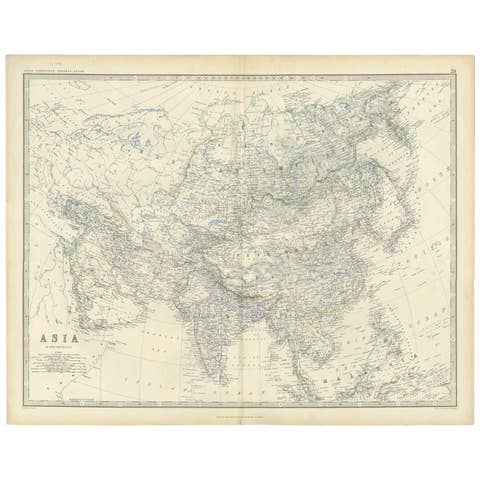
Antique Map of Asia by K. Johnston, circa 1879
1879 · € 265
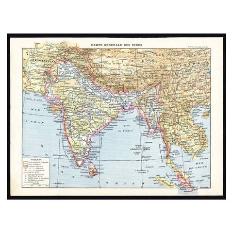
Antique Map of Southeast Asia by Larousse, 1897
1897 · € 75
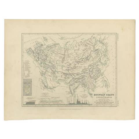
Antique Detailed Map of the Mountain Chains of Europe and Asia, c.1850
1850 · € 220
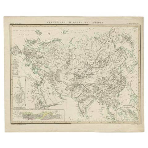
Antique Map of the Mountain Ranges of Asia and Europe by Berghaus, 1849
1849 · € 233

Antique Map of the River Systems of Europe and Asia by Johnston, c.1850
1850 · € 109
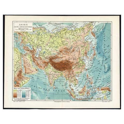
Antique Map of the Rivers and Mountains in Asia, c.1895
1895 · € 73

Original Antique Map of Asia
€ 290
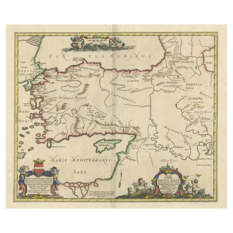
Antique Map of the Region involved in the Conquest of Cyrus the Great
€ 690
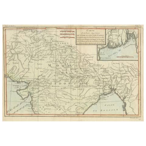
Antique Map of part of Central and Southern Asia
€ 390
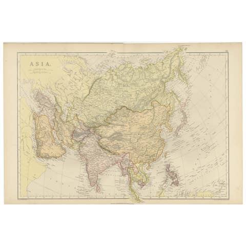
Historical Map Depicting the Continent of Asia, 1882
1882 · € 330

Cinchona Bark Varieties: A Rare Hand-Colored Illustrated Botanical Atlas (1826)
1826 · € 2 900
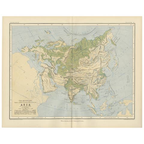
Geological Map of Asia by A.K. Johnston – Mountains and Valleys 1852
1852 · € 260
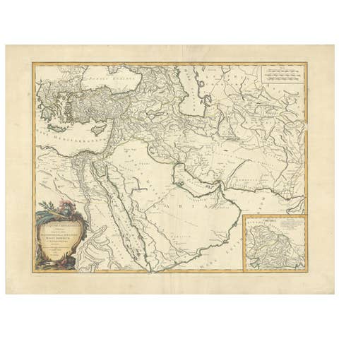
Antique Map of Alexander the Great's Empire & Campaigns, de Vaugondy, 1753
1753 · € 636
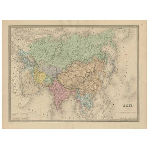
Antique Asia Map – Large 19th-Century Engraving with Political Boundaries, 1865
1865 · € 390
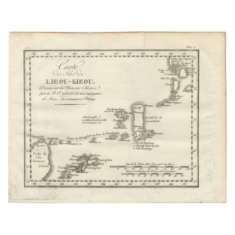
Antique Map of the Ryukyu Islands – Map of the Islands of Lieou-Kieou, c.1760
1760 · € 460

Antique Levasseur Maps Asia & Oceania, Decorative Atlas Pair c.1845
1845 · € 999
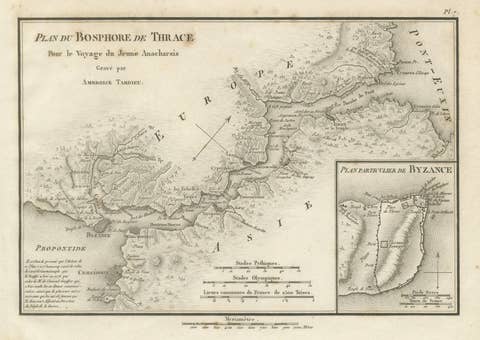
Ancient Bosphorus and Byzantium Map by Ambroise Tardieu, 1825
1825 · € 320
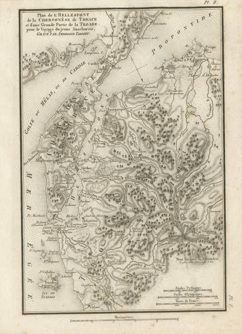
Ancient Troy and Hellespont Map by Ambroise Tardieu, 1825
1825 · € 320
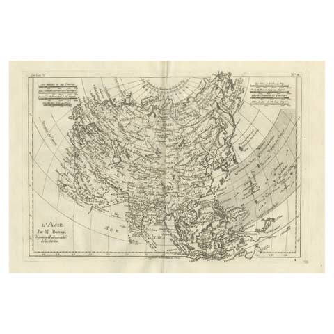
Asia in the Age of Exploration – Antique Map by Rigobert Bonne, c.1780
1780 · € 360
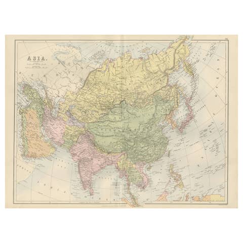
Antique Map of Asia with Political Divisions – Black’s Atlas, 1884
1884 · € 390

Byzance–Constantinople: Archaeological & Topographical Map, MISN, 1938
1938 · € 740