About this sheet
Cartographer/Publisher:
Pieter Mortier (1661–1711), published by Covens & Mortier (Amsterdam, 1725)
Publication Details:
- First Appeared in: Histoire du Vieux et du Nouveau Testament
- Published by: Covens & Mortier
- Year: 1725
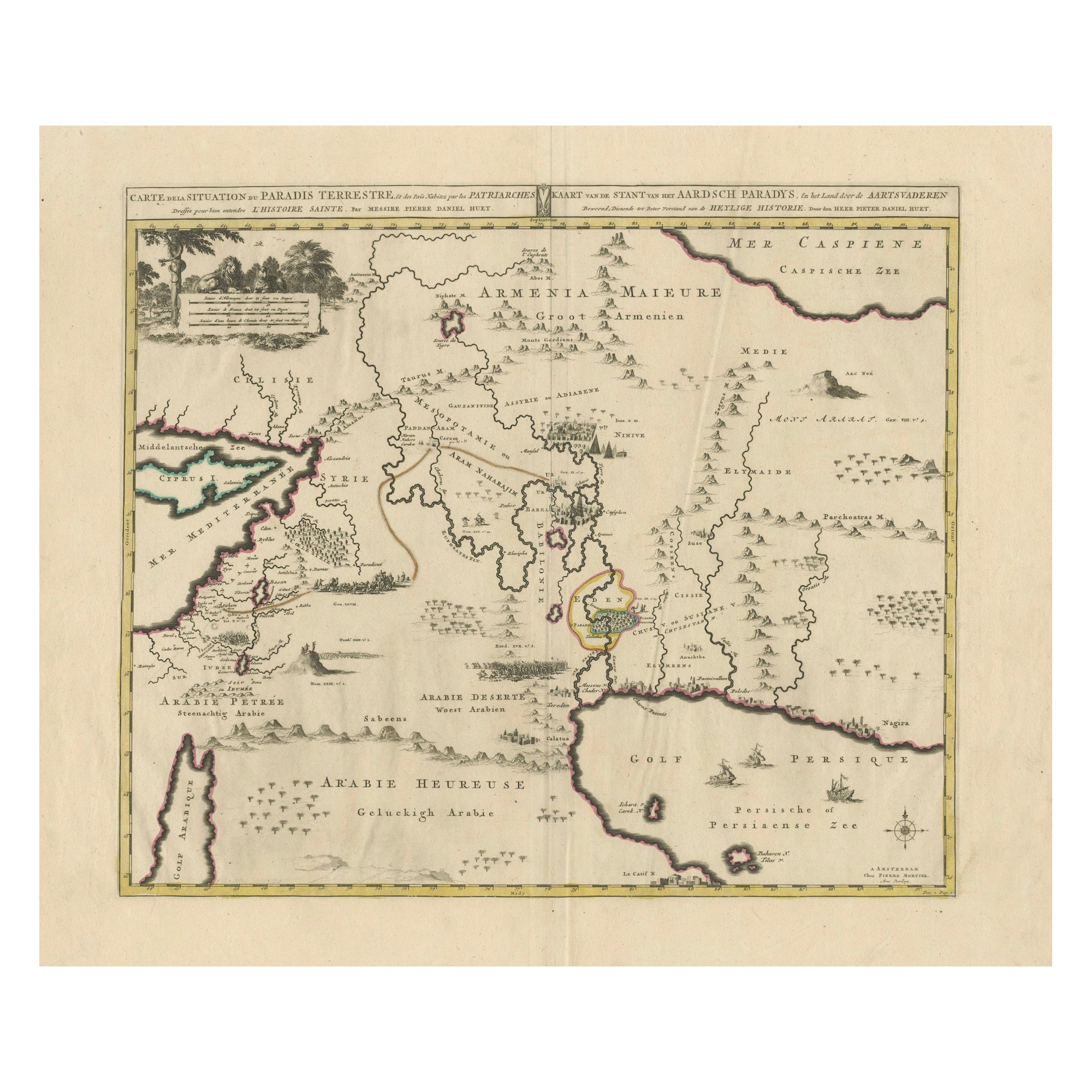
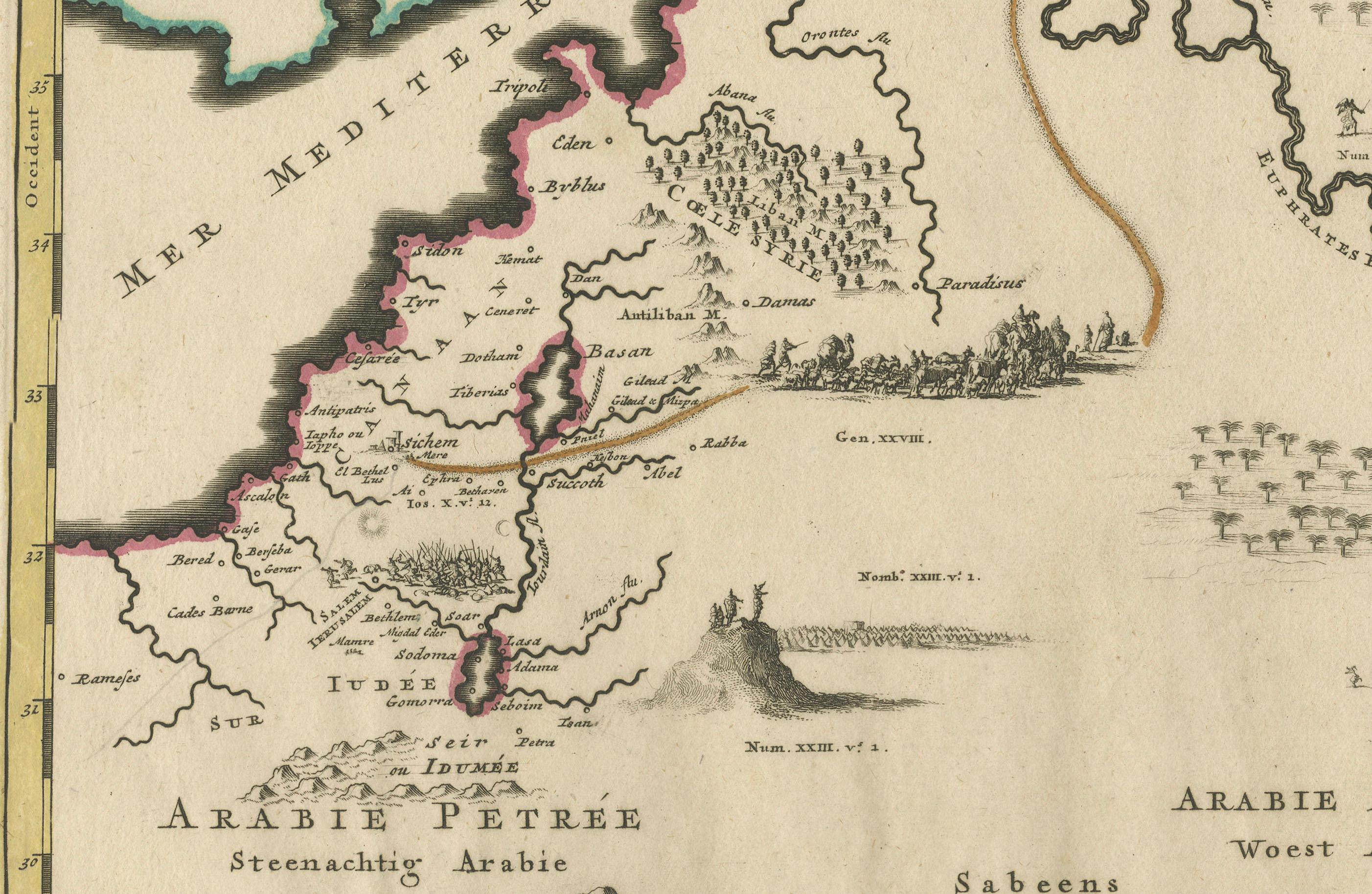
This intricately engraved map covers the Holy Land and the Middle East, centered on the presumed location of the Garden of Eden. It includes the Mediterranean coastline, the Persian Gulf, and the surrounding regions, with extensive details of ancient cities, biblical routes, and landmarks.
Notable Features:
- Focus on the Garden of Eden:
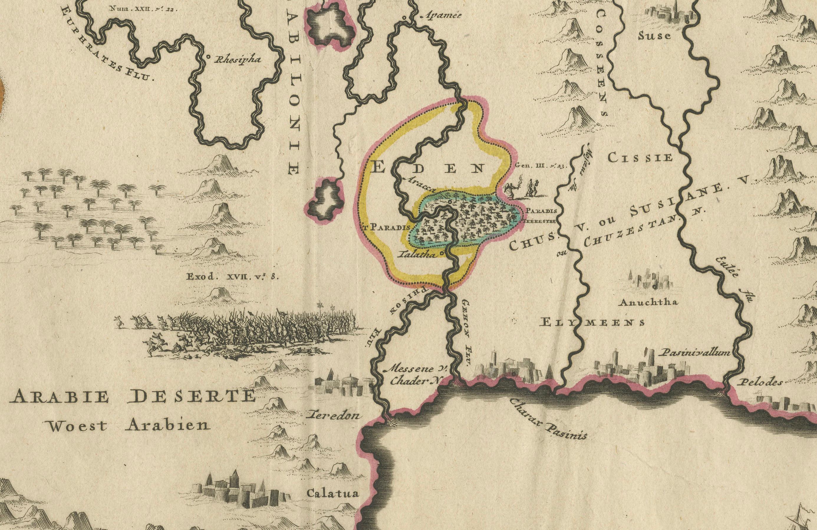
The map centers on the Garden of Eden, outlined in yellow, and showcases the biblical geography of the region.
- Cities and Landmarks:
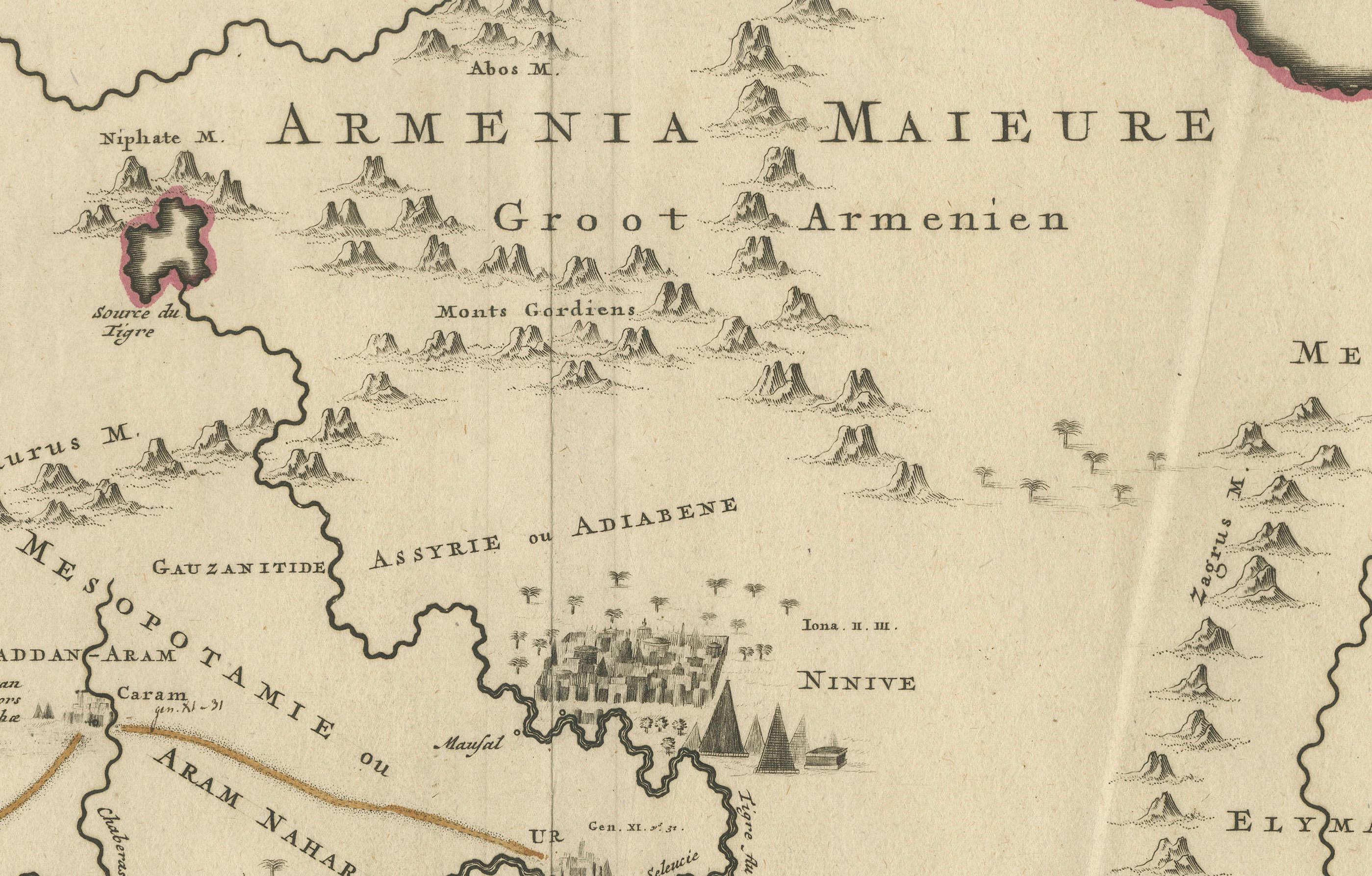
Major cities and sites include Babylon, Ninive (Nineveh), Jerusalem, Antiocha (Antioch), Babel, and Suse (Susa).
- Patriarchs' Travels:
Routes of biblical patriarchs are marked, connecting various regions and cities.
- Large Cyprus:
The map features an oversized Cyprus, depicted prominently in the eastern Mediterranean.
- Decorative Details:
The map includes engraved depictions of cities, rivers, and mountain ranges, along with maritime features such as ships and compass roses.
Background Information:
The map first appeared in Histoire du Vieux et du Nouveau Testament, a compilation of biblical maps and narratives published by Covens & Mortier. The firm, founded in Amsterdam in 1721, was one of the largest Dutch publishing houses of the 18th century. They specialized in republishing and updating the works of earlier cartographers, including De L'Isle, Allard, and Jansson.
Pieter Mortier, the founder of the Mortier publishing empire, was a renowned mapmaker who combined French cartographic influences with Dutch engraving traditions. His works often featured detailed engravings and were widely respected for their artistic and geographical accuracy.
Condition:
The map is in good condition for its age, with vibrant hand-coloring and minimal signs of wear. The paper shows light age-toning around the edges, typical of 18th-century prints. The engraving and decorative elements are sharp and well-preserved.
Keywords:
Pieter Mortier map
Covens & Mortier map
Biblical map
Garden of Eden map
Holy Land cartography
Middle East map
18th-century cartography
Antique map
Travels of the Patriarchs
Decorative biblical map