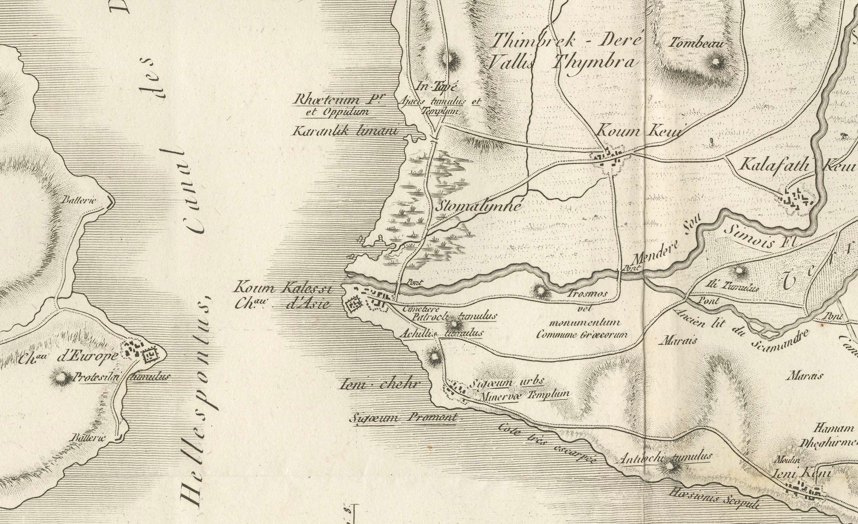
Circa 1802 Map of the Troad Region by Tardieu – From the Voyage de la Troade
€ 250
One of a kind: this is the sheet in the photographs. Ships from Langweer, the Netherlands.
Date
1802
Sheet size
53.5 × 68 cm (21.1 × 26.8 in)
Condition
Good
Reference
BG-13643-6
Condition
Condition of the map is good, with some rubbed margins, signs of wear, and folds -as issued and consistent with its age.
About this sheet
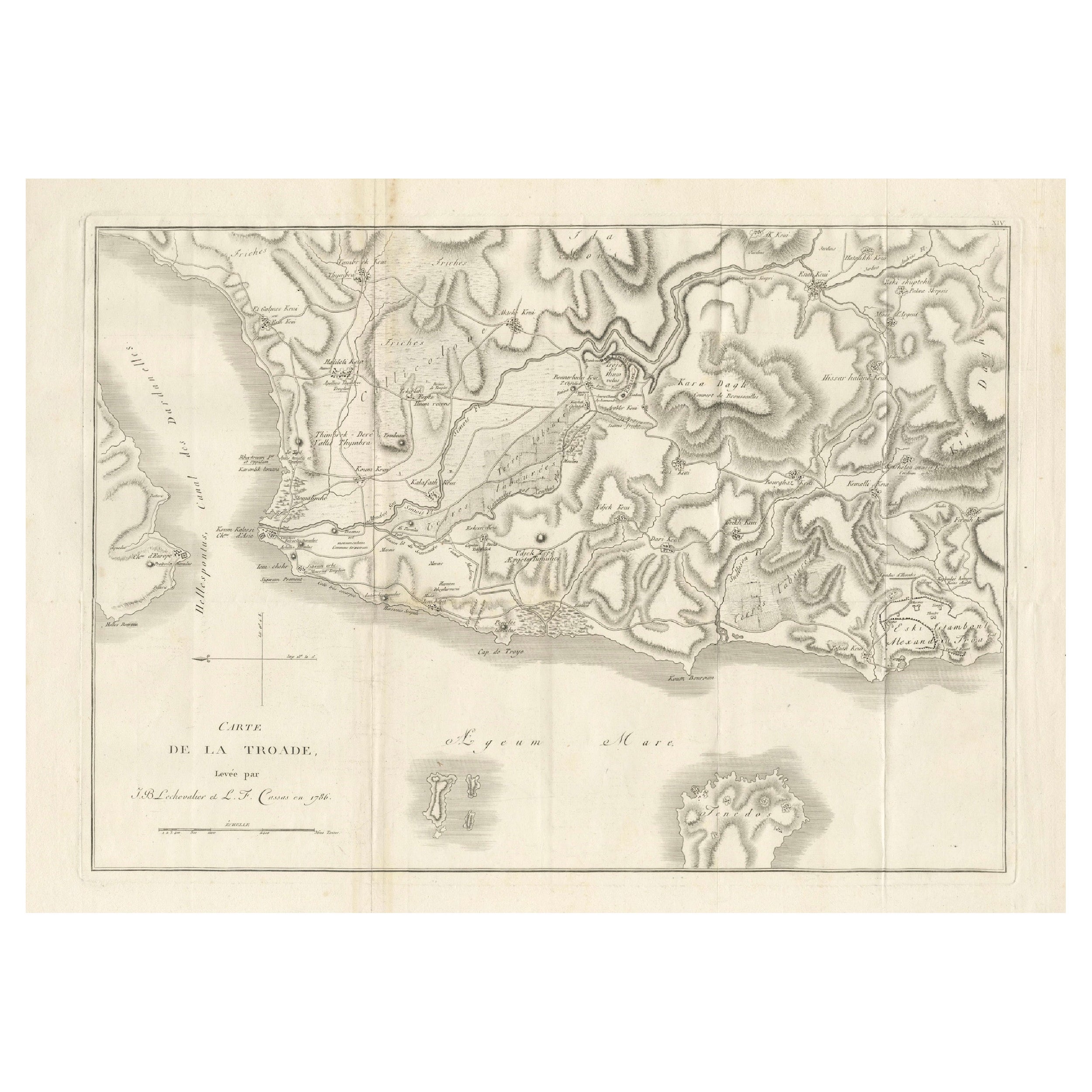

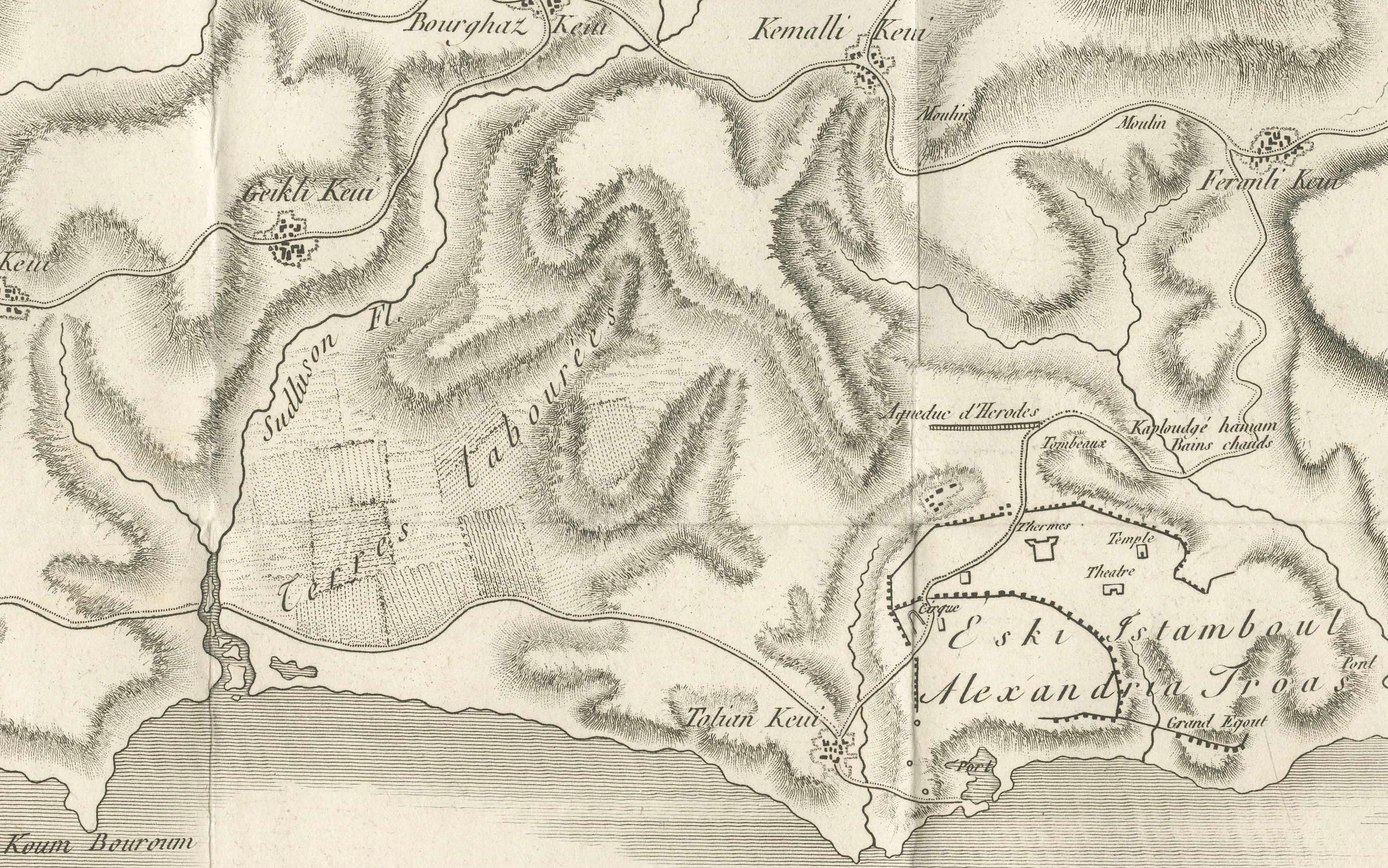
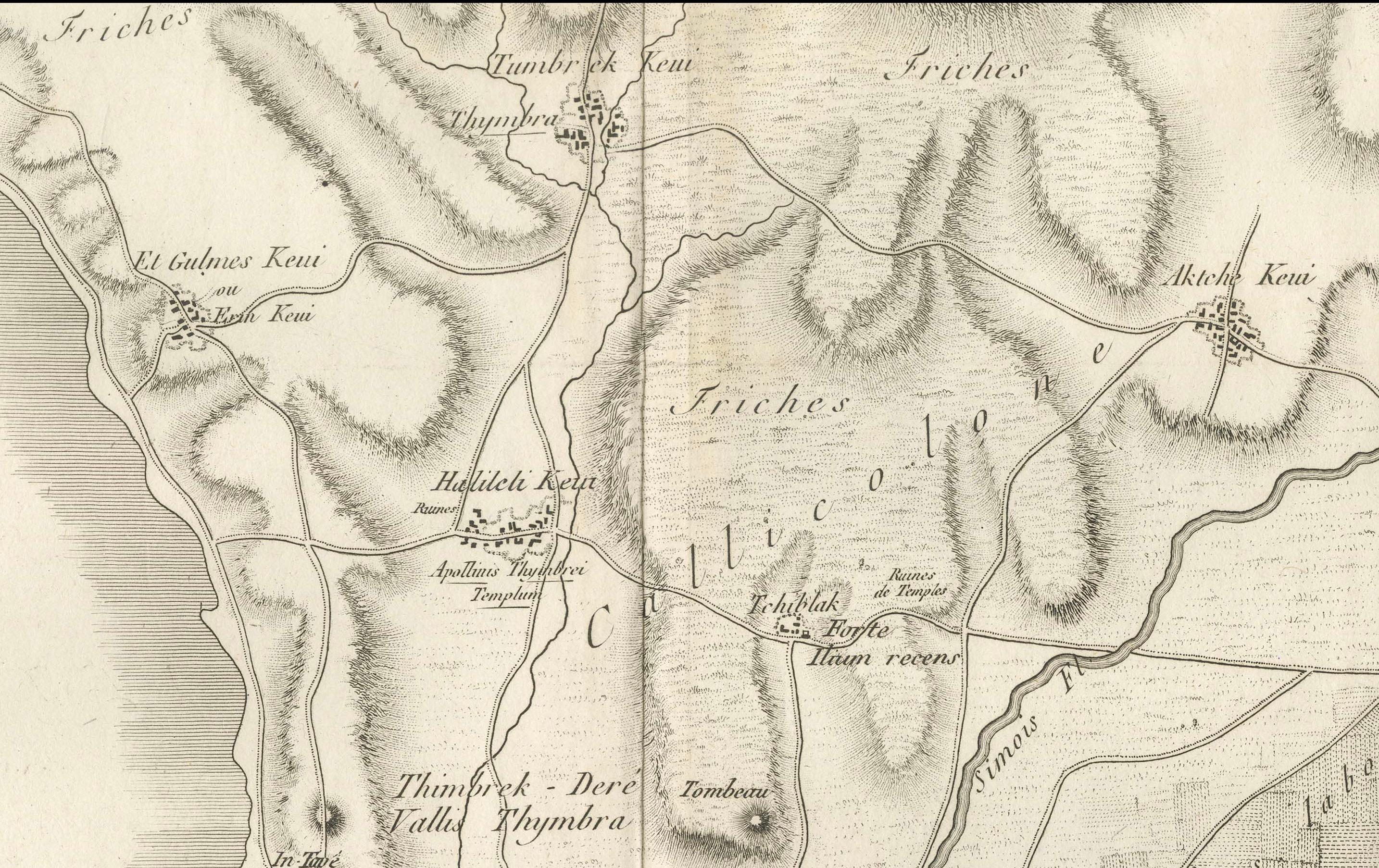
This is a large fold-out map titled *Carte de la Troade*, measuring approximately 53.5 x 68 cm, engraved by Tardieu, and extracted from the atlas of *Voyage de la Troade, fait dans les années 1785 et 1786* (likely from the 1802 edition). The map shows the region of the ancient Troad, located in present-day northwestern Turkey, near the Dardanelles Strait, and the Aegean Sea. This area was historically significant due to its association with the ancient city of Troy, making the map of great interest to scholars of classical antiquity and early archaeology.
The map was part of a set of three maps, numbered XIV, XIII, and XV, which accompanied this important travelogue and study of the region. These maps were created based on surveys conducted in 1785 and 1786, offering a detailed topographical representation of the landscape, including elevations, ancient ruins, rivers, and coastal areas. The engravings capture the geographical and archaeological features of the Troad, which were of considerable interest during the late 18th and early 19th centuries when European explorers sought to rediscover ancient sites.
Condition of the map is good, with some rubbed margins, signs of wear, and minor folds, consistent with its age. It remains a valuable historical and cartographic record for understanding the geography of this ancient region.