Empire of the Parthians: Historical Cartographic Masterpiece by d'Anville, 1819
€ 99
One of a kind: this is the sheet in the photographs. Ships from Langweer, the Netherlands.
Date
1819
Sheet size
34.4 × 50 cm (13.5 × 19.7 in)
Condition
Fair
Reference
BG-13746-14
Condition
Condition is Fair, with age-related traces, one small brown spot, and wear marks on the edges. Some dents but no holes. Otherwise, in good and clean condition.
About this sheet
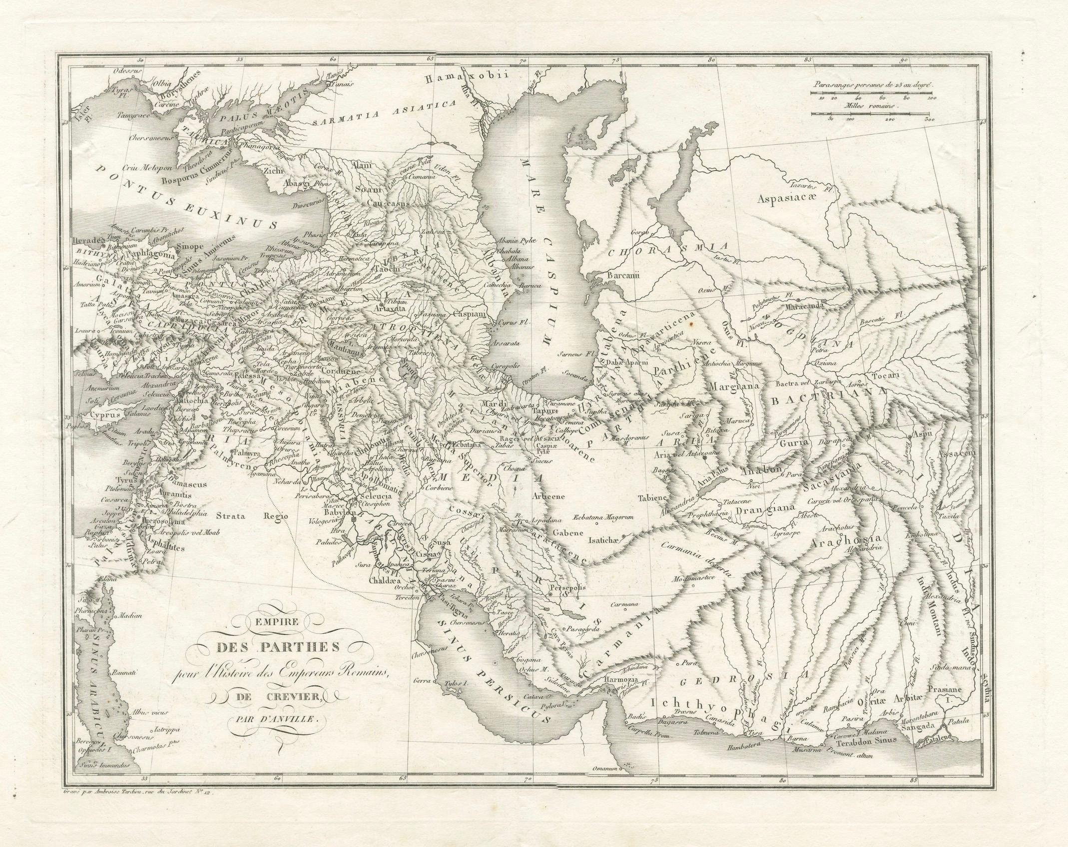
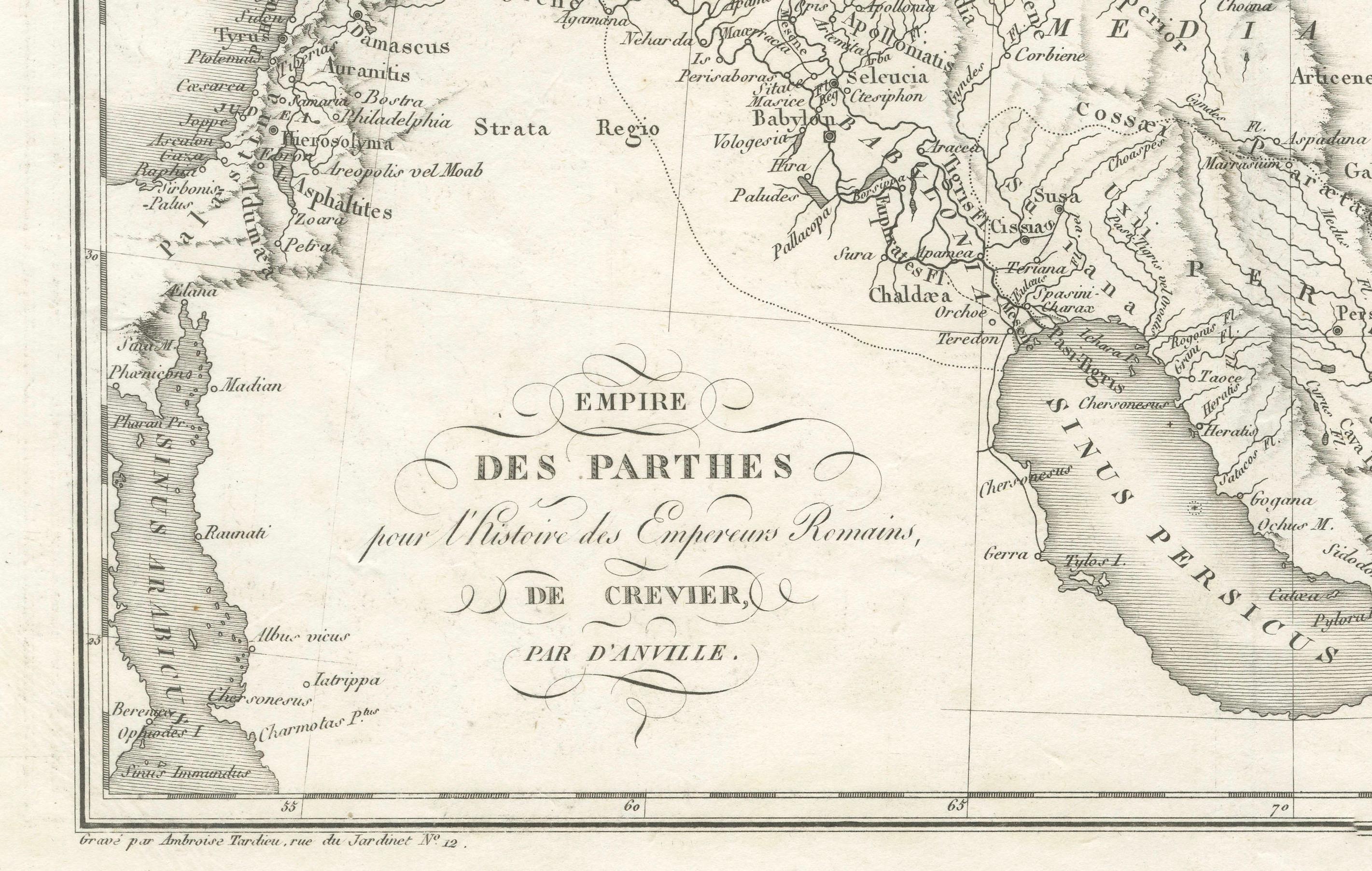
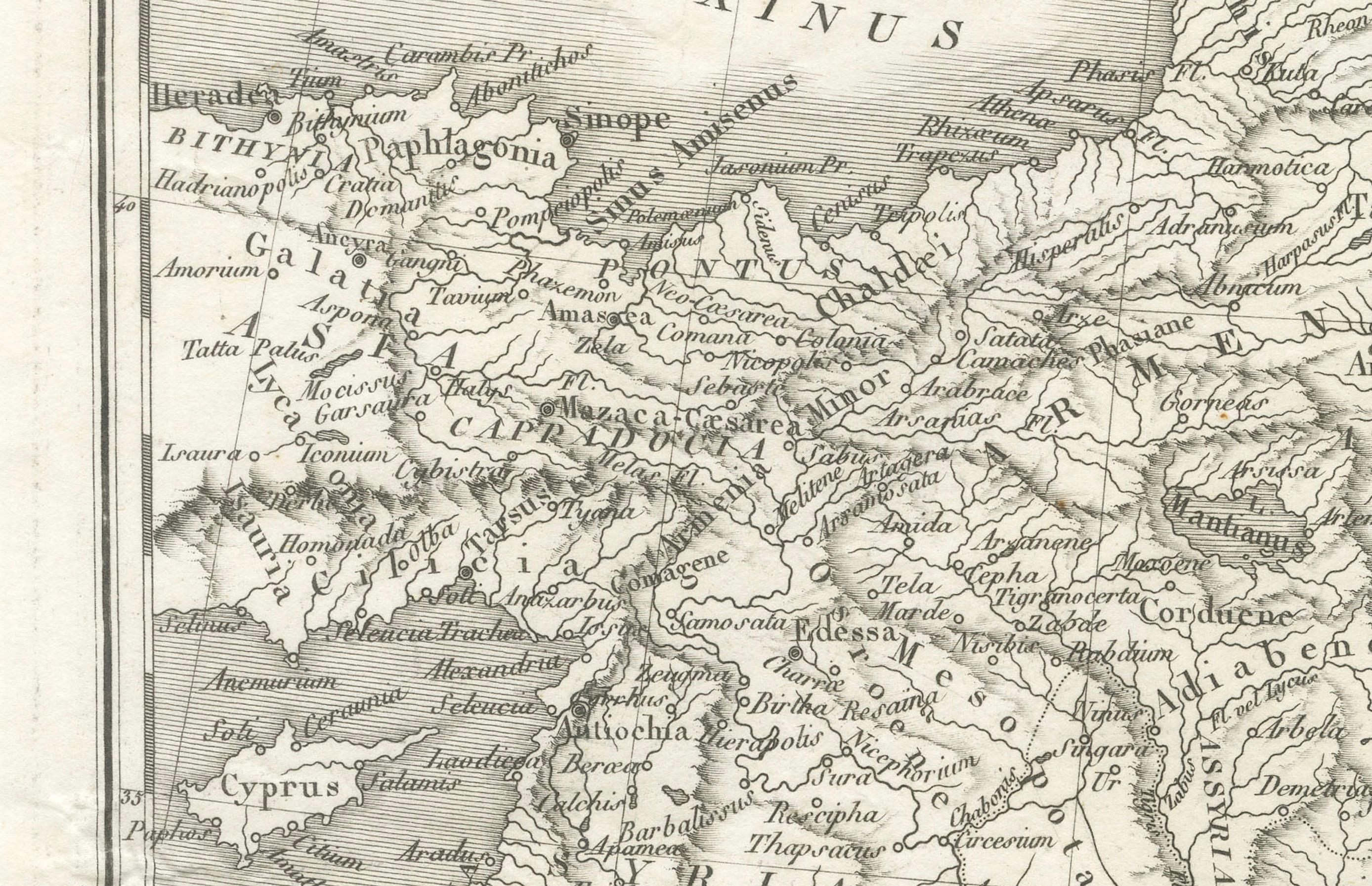
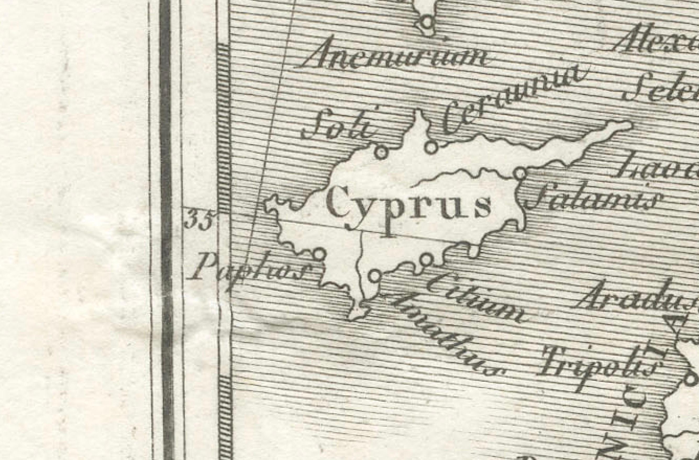
Ancient map of the Parthian Empire (19th century), original engraving extracted from the atlas of the history of the emperors from 1819, based on the history of the Roman emperors by Crevier, by d'Anville, the King's ordinary geographer. Note: Cyprus, the cities of Palmyra and Babylon, and the Tigris River are notably mentioned.
Description: This detailed historical map, titled *"Empire des Parthes pour l'Histoire des Empereurs Romains,"* was created by the renowned French geographer Jean-Baptiste Bourguignon d'Anville. D'Anville was one of the most esteemed cartographers of the 18th century, known for his meticulous approach to mapmaking and his extensive use of ancient sources. This map focuses on the Parthian Empire, an ancient Iranian civilization that was a significant power in ancient Persia, rivaling the Roman Empire.
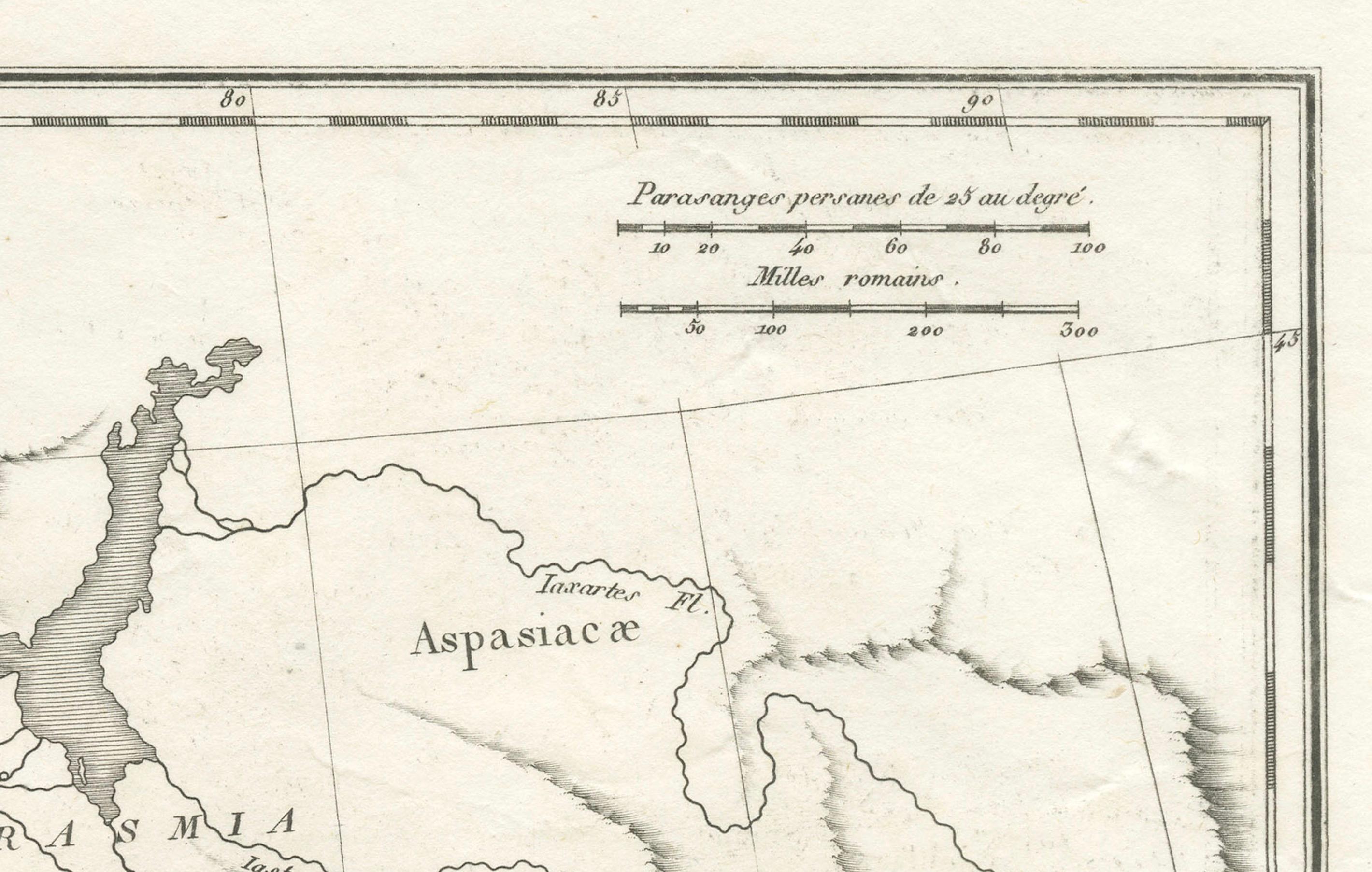
The map showcases the vast expanse of the Parthian Empire, stretching from the Euphrates River in the west to the borders of India in the east, and from the Caspian Sea in the north to the Persian Gulf in the south. Key regions such as Mesopotamia, Persia, and Bactria are prominently featured, with major cities including Seleucia, Ctesiphon, and Ecbatana. The map also highlights the routes and locations significant to the Roman emperors' campaigns, making it an invaluable resource for historians and collectors alike.
Important Places Featured on the Map:
- **Seleucia:** A major ancient city on the Tigris, near modern-day Baghdad, which was one of the main cities of the Parthian Empire. - **Ctesiphon:** The capital city of the Parthian Empire, located near the Tigris River. - **Ecbatana:** An ancient city that served as a summer residence for the Parthian kings. - **Hecatompylos:** A significant city of the Parthian Empire, believed to be located near modern-day Damghan in Iran. - **Susa:** An ancient city of the Elamite, Persian, and Parthian empires, near the modern-day Iranian city of Shush. - **Bactra (Balkh):** One of the oldest cities in the world, located in the region of Bactria, now part of modern-day Afghanistan. - **Sinope:** A city on the southern coast of the Black Sea, significant for its strategic location in ancient times. - **Cyprus:** Featured prominently to show the extent of influence and routes connected with the Parthian Empire.
This map, engraved by Ambroise Tardieu, represents a significant historical period and offers insights into the geography of the ancient world as understood in the 18th century. D'Anville's work remains a cornerstone for collectors of historical maps and scholars of ancient history.
This description provides a good overview of the map, including its historical context, condition, and some of the key geographical features depicted.