About this sheet
Antique Biblical Atlas with 17 Hand-Colored Maps, Religious Tract Society c.1850
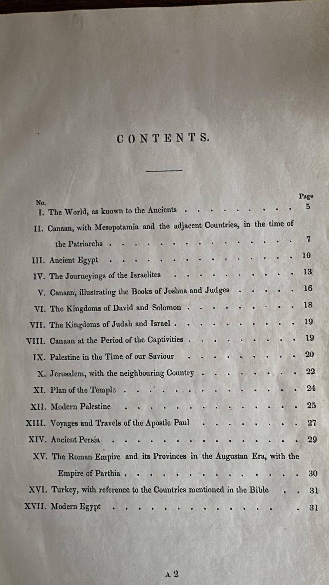
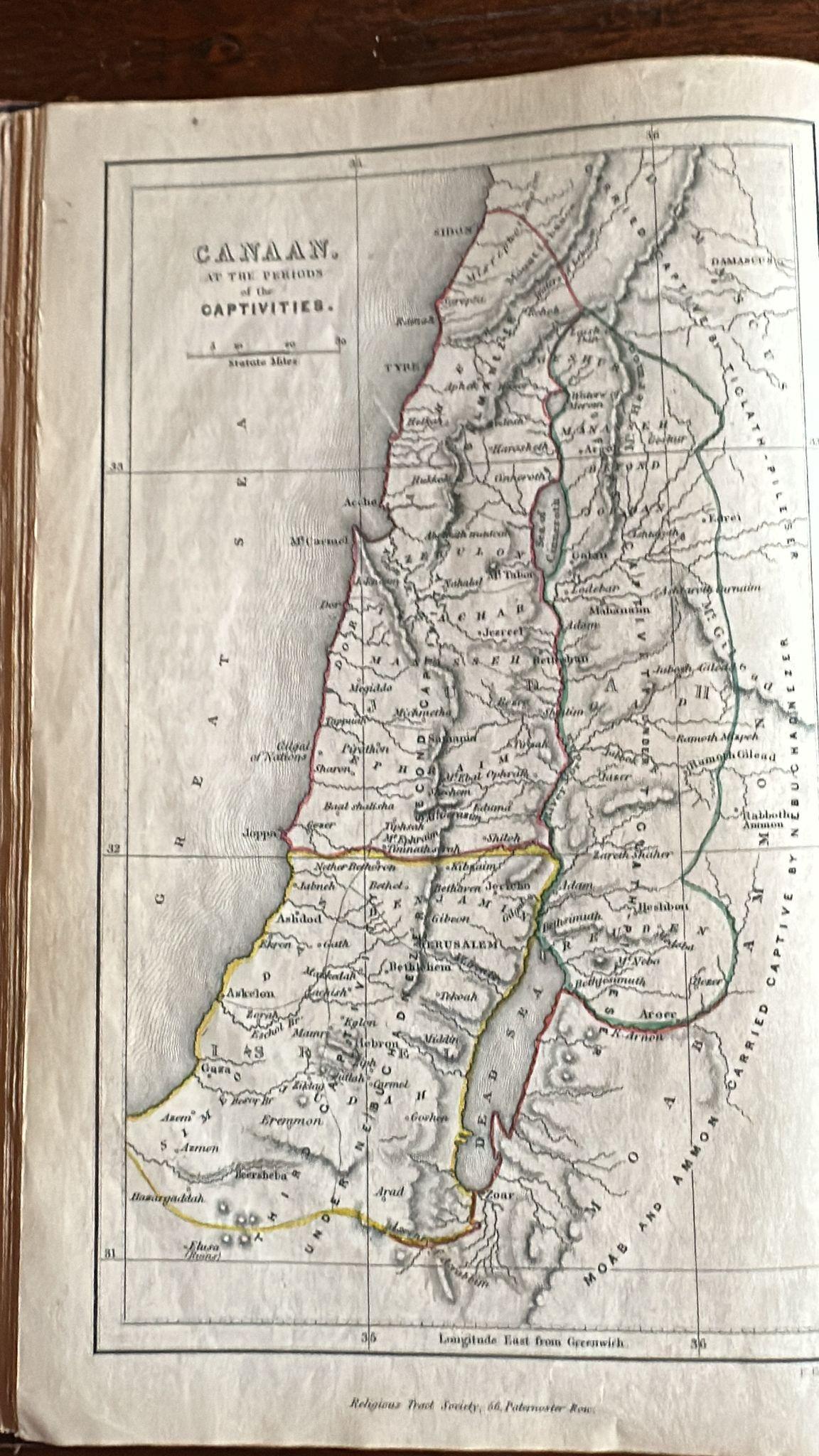
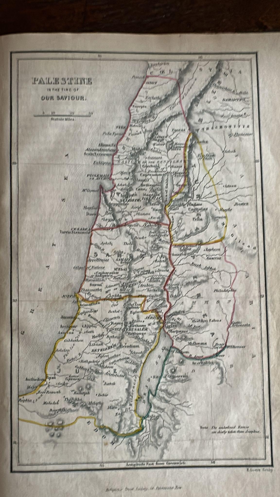
This rare Biblical Atlas was published in London by the Religious Tract Society, founded in 1799, and contains seventeen finely engraved maps with explanatory notices. Designed for Biblical study, these maps illustrate the geography of the Old and New Testament, including Canaan, Mesopotamia, Ancient Egypt, the Journeyings of the Israelites, the Kingdoms of David and Solomon, Palestine in the time of Christ, Jerusalem and the Temple, and the Voyages of the Apostle Paul.
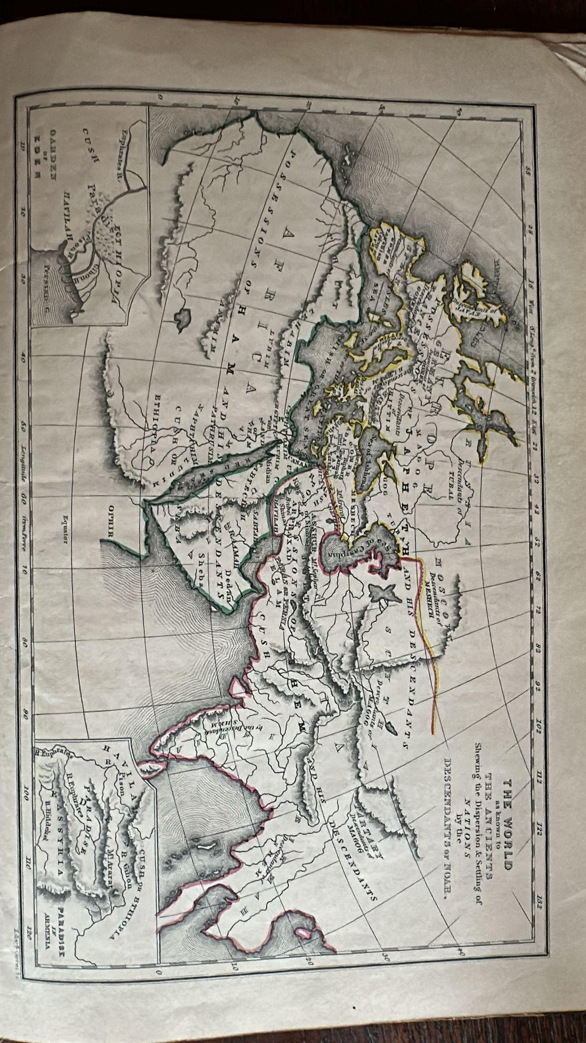
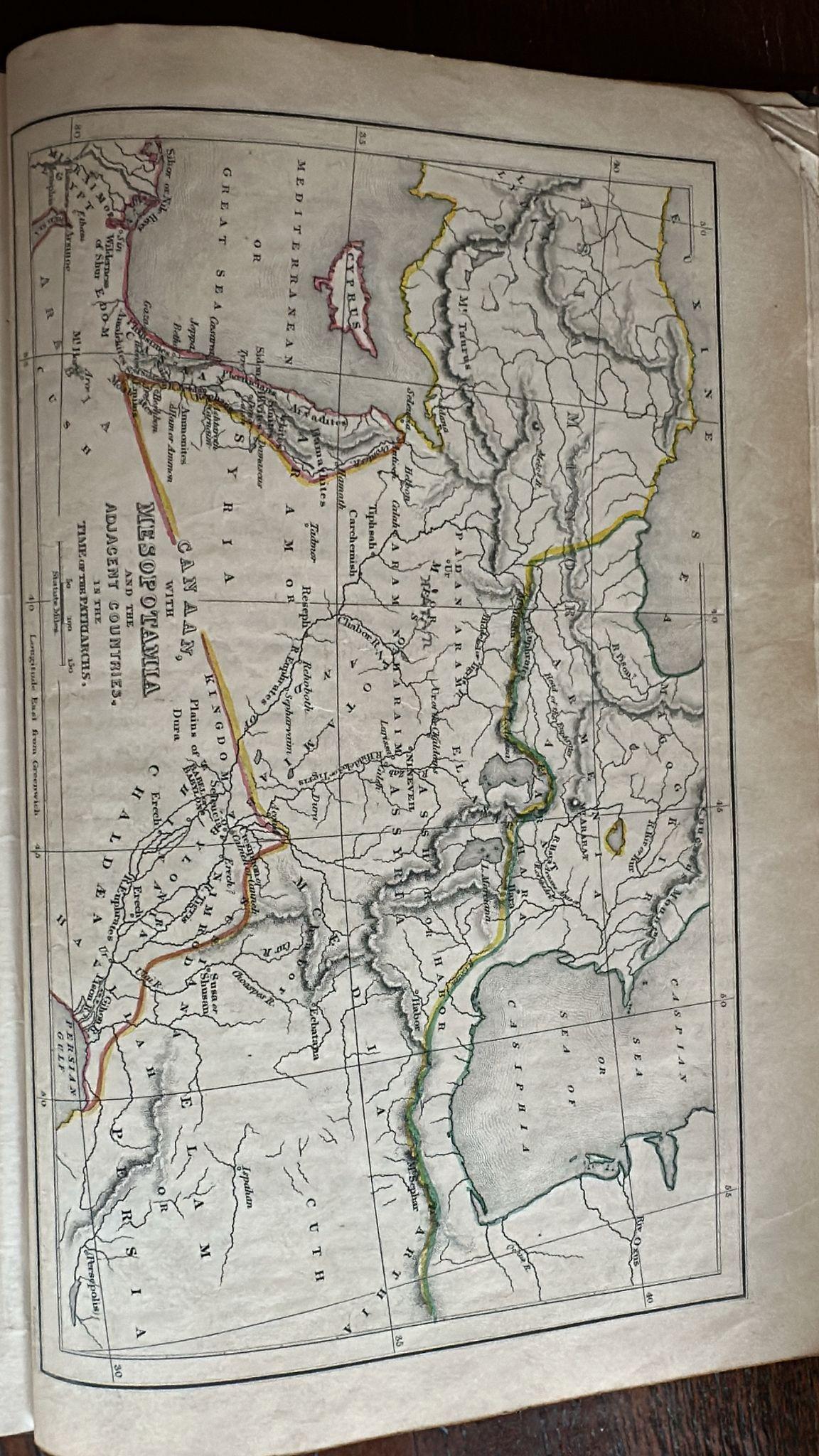
The maps are engraved with precise linework and delicately hand-colored in outline, highlighting territorial divisions and Biblical regions. The cartography is accompanied by contextual notes, allowing the work to serve both as a practical reference and a devotional aid. Engraver Edward Gower’s name appears on several plates, attesting to the quality of the mapwork.
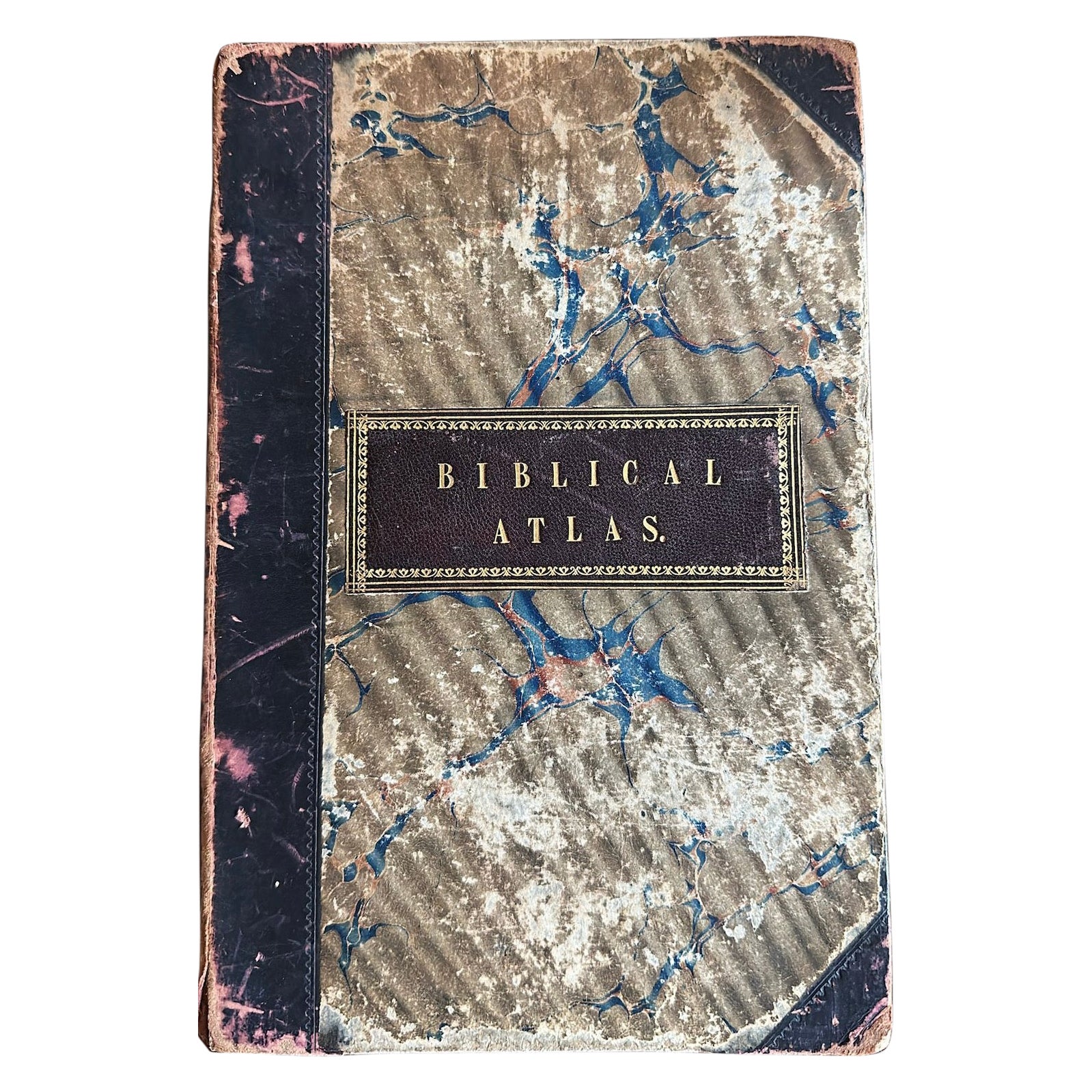
The atlas is bound in contemporary marbled boards with leather spine and corners, and a gilt-lettered title label to the upper cover. This combination of scholarly utility and devotional presentation made the *Biblical Atlas* an important resource for 19th-century households, churches, and schools. Today, it remains valued both for its historical cartography and as a complete set of decorative maps for collectors of Biblical geography.
Condition report:
Complete with all 17 maps. Binding rubbed and worn, corners and edges scuffed, marbled boards faded. Maps generally clean with crisp impressions and hand-coloring; some light toning, minor creasing at folds, and occasional edge wear. A well-preserved example in fair to good condition.
Framing tips:
Individual maps from this atlas display beautifully when framed. A double mat with soft ivory and a stone-grey outer border will emphasize the delicate hand-coloring, while a dark wood or gilt frame provides a timeless presentation. Maps such as “Palestine in the Time of our Saviour” and “Voyages of the Apostle Paul” are particularly striking as standalone wall pieces.
Technique: Engraving with original hand-color
Maker: Religious Tract Society, London, c.1850
Additional info:
Title: The Biblical Atlas: Containing Seventeen Maps, with Explanatory Notices
Publisher: The Religious Tract Society, London (Institution founded in 1799)
Publication date: Not printed on the title page, but editions are typically mid-19th century (c. 1830–1860).
Format: Quarto (approx. 28–30 cm), marbled boards with leather spine and corners, gilt title on cover.
Maps: 17 engraved maps, hand-colored in outline, covering Biblical lands, including:
The World as known to the Ancients
Canaan, Mesopotamia, and adjacent countries
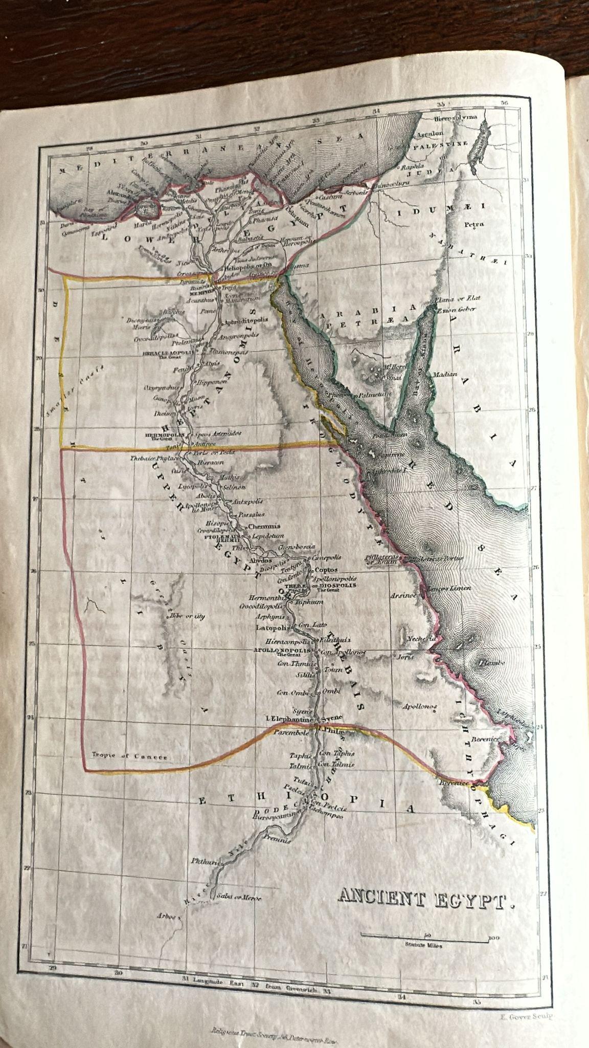
Ancient Egypt
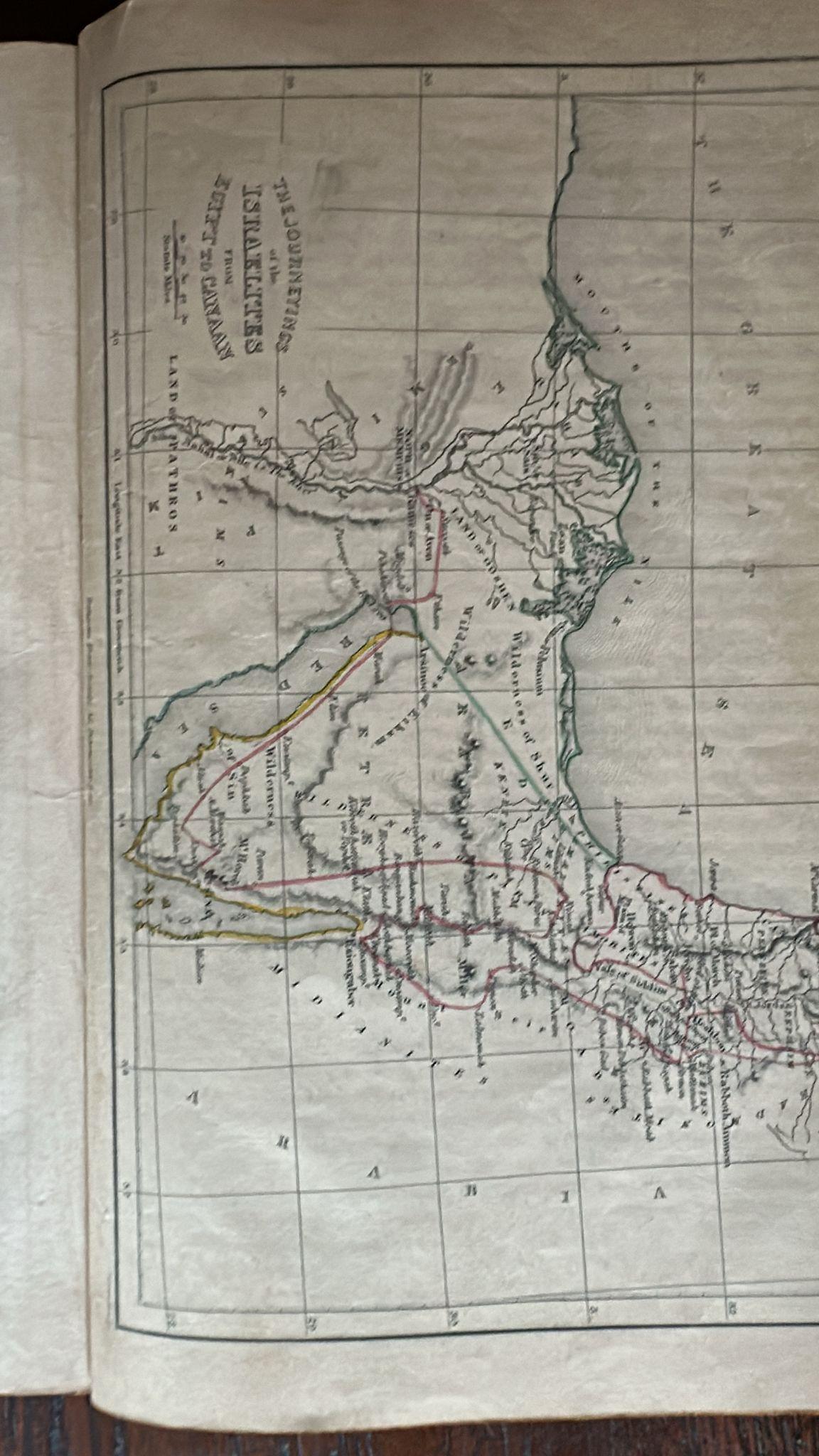
The Journeyings of the Israelites
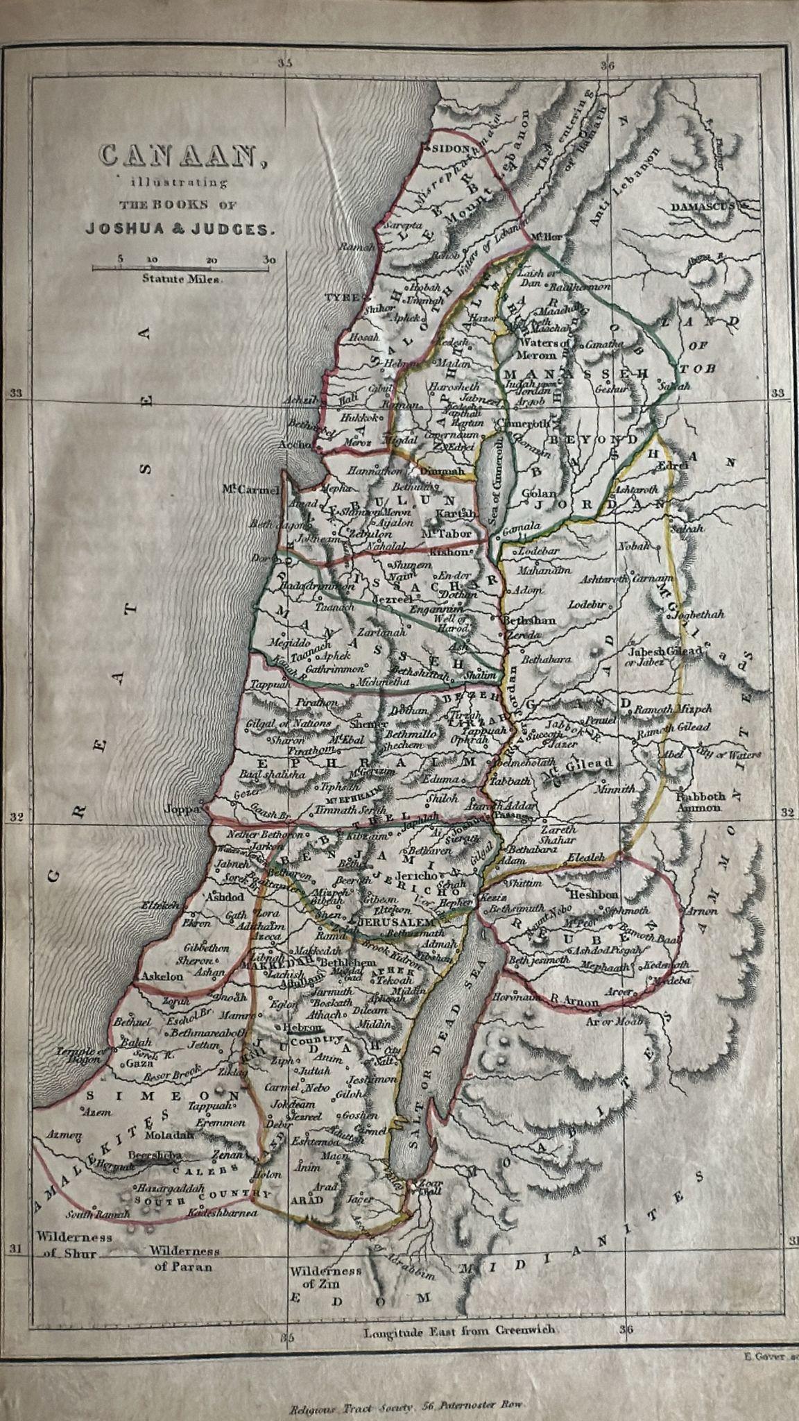
Canaan in the Books of Joshua & Judges
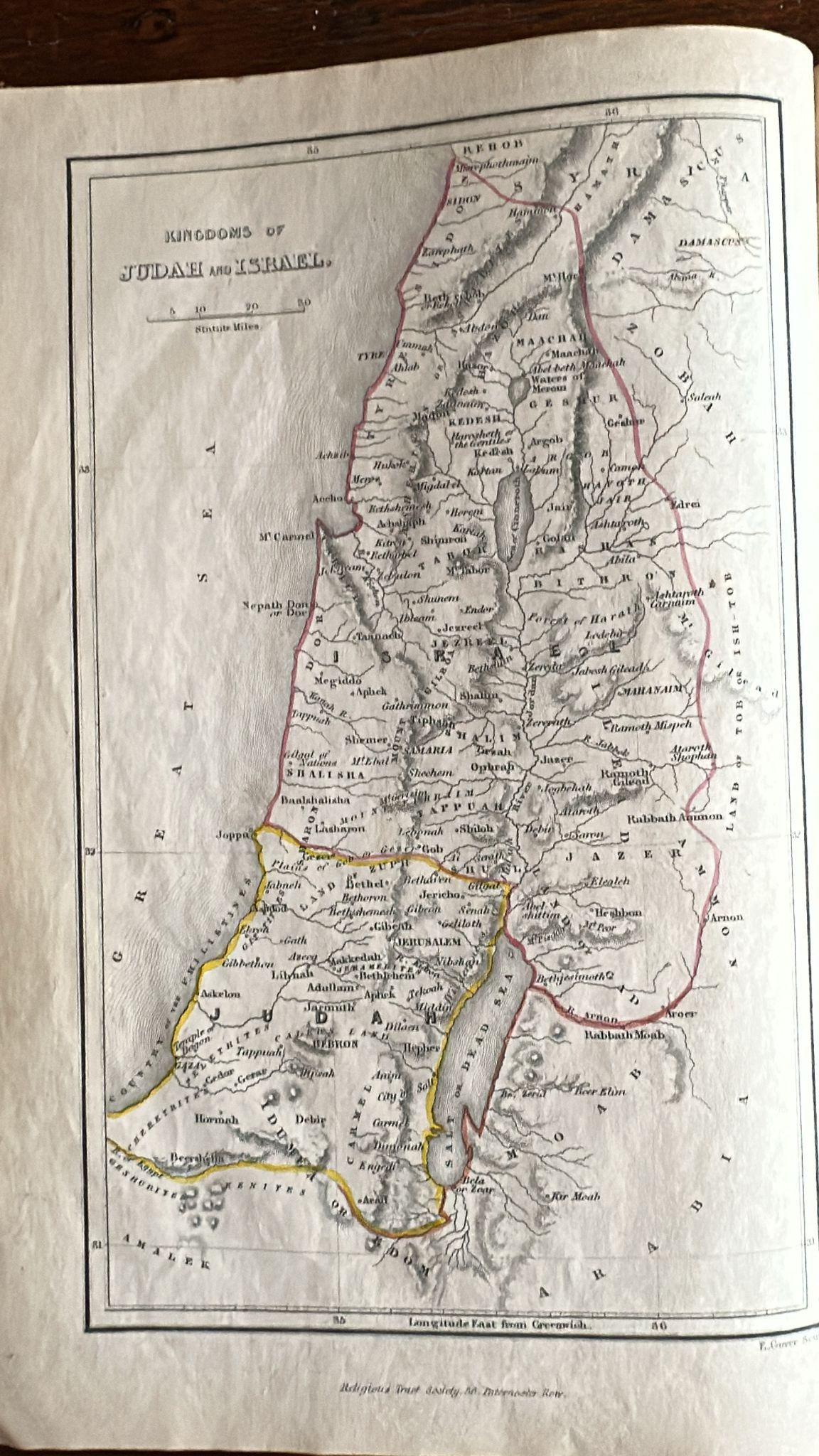
Kingdoms of David & Solomon, Judah & Israel
Jerusalem & Temple plans
Palestine in the time of Christ
Voyages of St. Paul
Ancient Persia, Roman Empire, Turkey, Modern Palestine and Egypt
Binding: Worn, with scuffing to corners, edges, and spine; marbled boards rubbed. Maps: Complete, hand-colored, with some light toning and creases but generally well-preserved. No major tears visible.
Paper: Typical age-toning, but pages crisp with strong impressions.
Rarity and Collectibility:
The Religious Tract Society produced affordable but finely engraved atlases for Biblical study, often used by churches and schools. Surviving complete copies with intact maps and hand-coloring are desirable to collectors of Biblical cartography.
The engraved maps are stylistically linked to Edward Gower (engraver), whose name appears on some plates, as seen on the “Ancient Egypt” map.