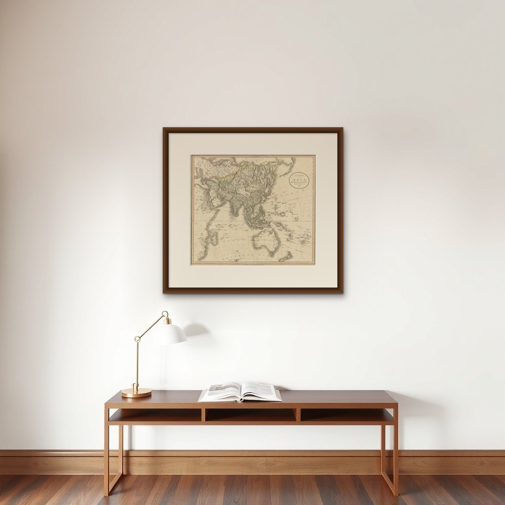
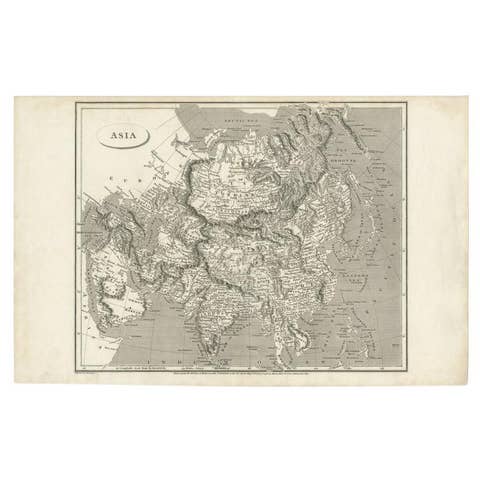
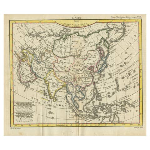
Original 1806 Engraved Map of Asia and Surrounding Regions by John Cary
€ 640
Original antique · The actual sheet photographed · Certificate of authenticity on request · Sold unframed · Worldwide shipping from € 15 (rates)
Date
1806
Sheet size
49.3 × 54.5 cm (19.4 × 21.5 in)
Reference
BG-13746-5
What the condition grades mean
Excellent
Bright and clean, with no faults worth mentioning.
Very good
Only light signs of age, such as faint toning.
Good
Normal signs of age for a sheet of this period: toning, some foxing, small marks or neat old repairs.
Fair
Clear faults such as staining, tears or repairs, priced to match.
Every fault we see is written in the condition note, and the whole sheet is shown uncropped in the photos.
Condition
Good, given age. Fold as published. General age-related toning and/or occasional minor defects from handling. Please study scans carefully.
About this sheet
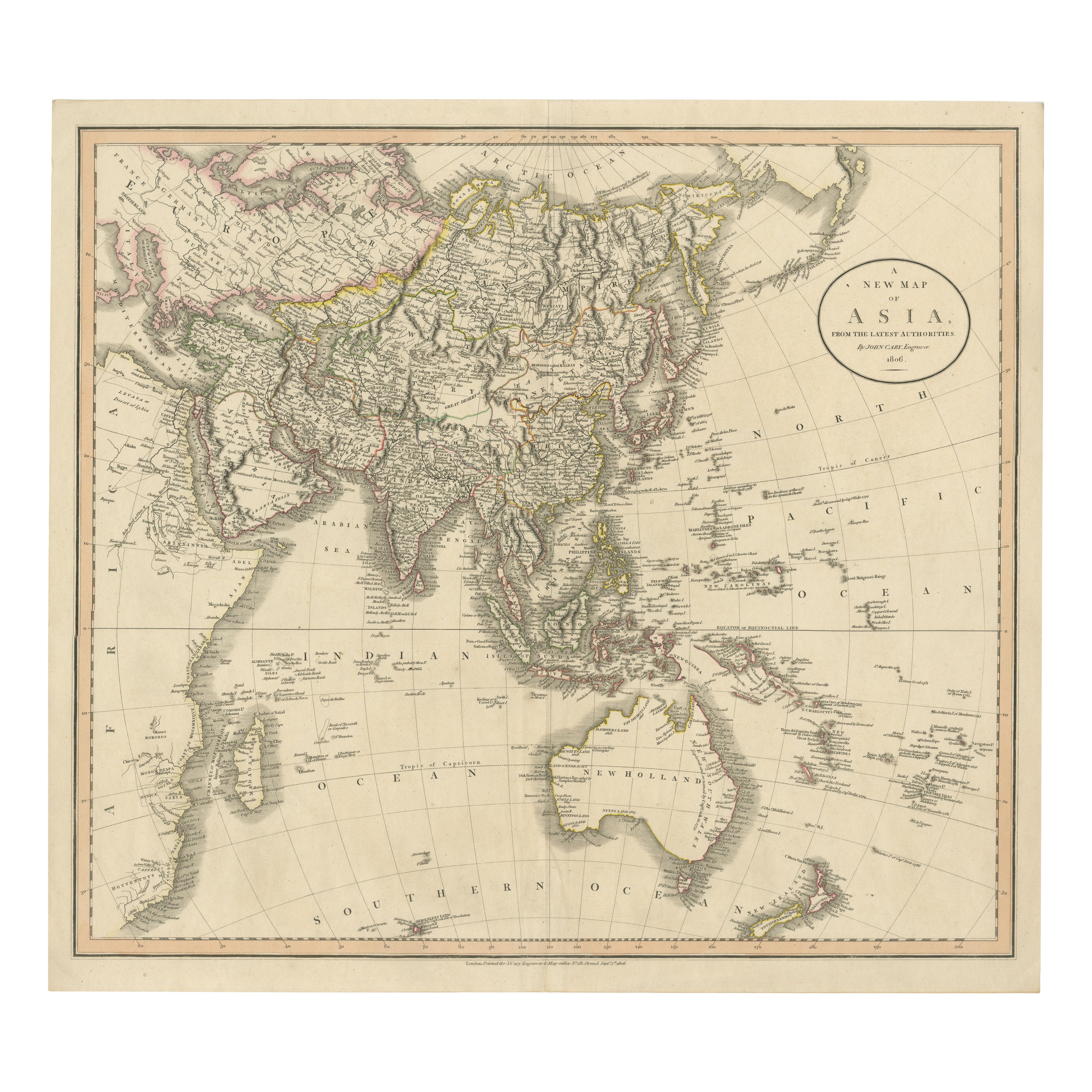
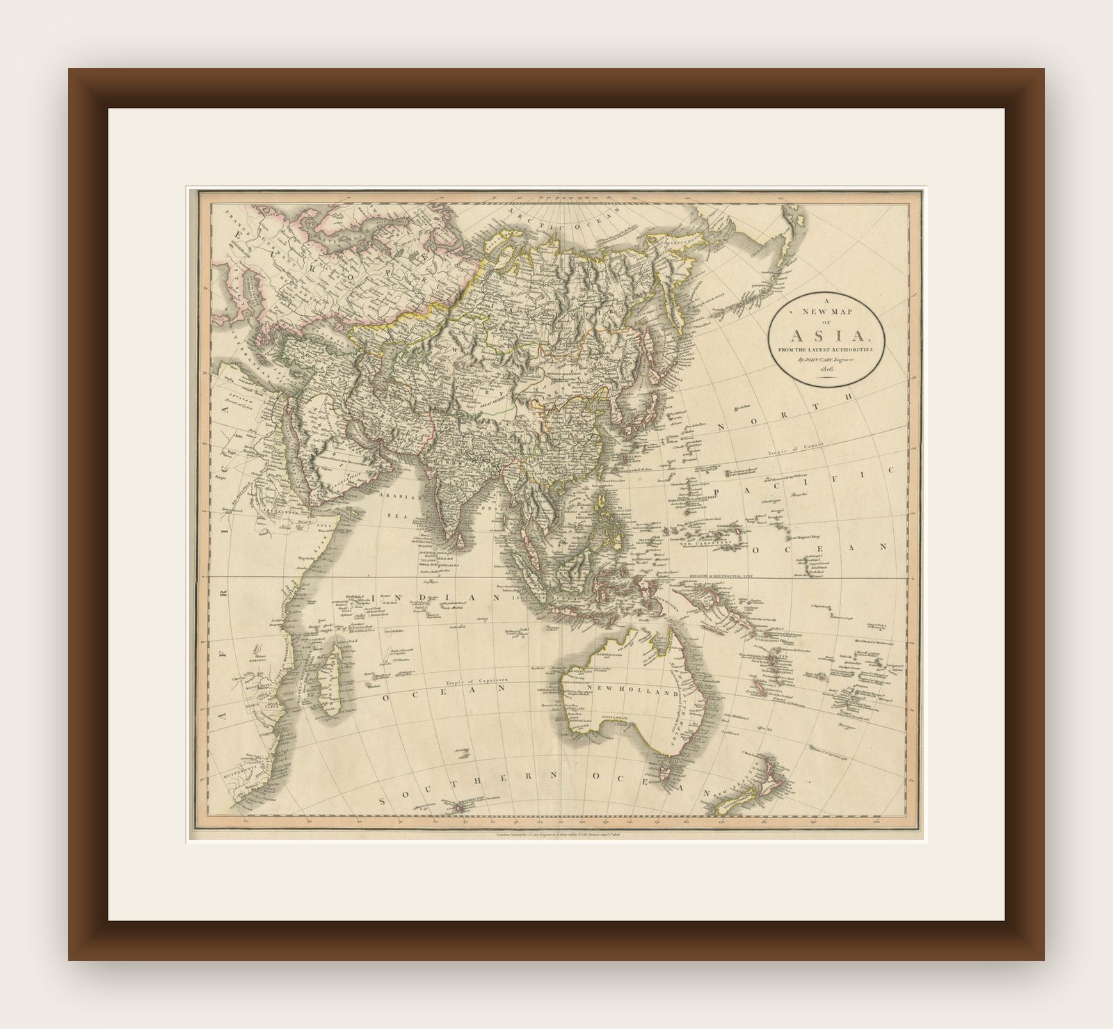
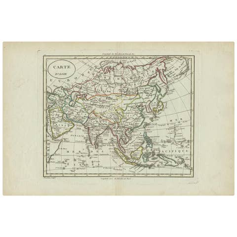
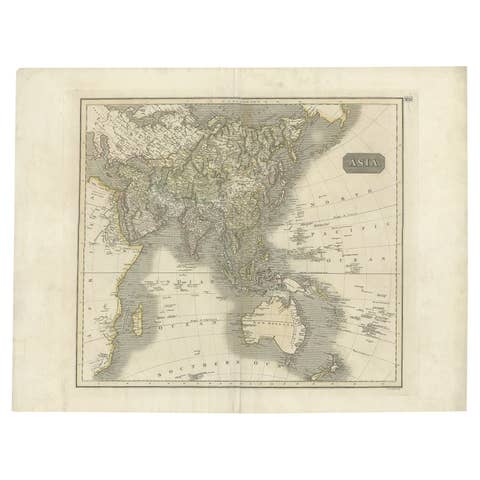
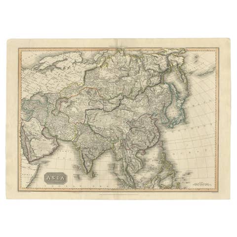
The map titled "A New Map of Asia, From the Latest Authorities" was published in 1806. It is a detailed and comprehensive depiction of the continent of Asia, extending from Europe and the Arabian Peninsula in the west to Japan and the Pacific Islands in the east, and from the Arctic regions in the north to parts of New Holland (Australia) and the Indian Ocean in the south.
The map is finely engraved, with political boundaries delineated using color to distinguish different empires, kingdoms, and colonial possessions of the time. Key geographical features such as mountain ranges, rivers, and major cities are clearly marked. It also includes significant maritime routes and islands across the Indian and Pacific Oceans, reflecting the global trade and exploration activities of the early 19th century.
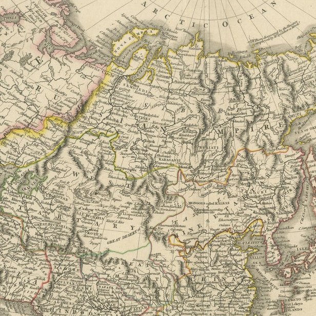
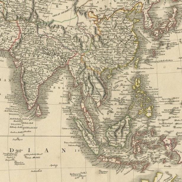
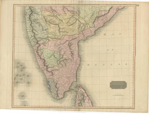
Notable Features: - Asia is represented with its vast and diverse regions, including the extensive Russian Empire in the north, the Ottoman Empire in the west, the Qing Dynasty's control over China, and the Mughal Empire's influence in India, which is under increasing British control. - India is shown with its numerous princely states, many of which are under British influence or control. - Southeast Asia includes the colonial possessions of European powers, particularly the Dutch East Indies, Spanish Philippines, and British-controlled regions in Malaya. - China is depicted with its traditional boundaries, along with neighboring Korea and Japan. - Australia is referred to as "New Holland," a name used by early European explorers, reflecting its status before widespread British colonization. - The Pacific Ocean features numerous islands, some of which were important stops for naval and merchant vessels.
The Mapmaker: This map was created by John Cary, a renowned English cartographer and engraver active in the late 18th and early 19th centuries. Cary was known for his meticulous and accurate maps, which were highly regarded for their clarity and precision. He contributed significantly to the mapping of the world during a period of intense exploration and colonial expansion.
Cary's maps often included the latest geographical information available from explorers, and they were used for both practical navigation and educational purposes. His work represents a high point in the art of mapmaking before the advent of modern cartography techniques.
This particular map is a reflection of the geopolitical realities of the early 19th century, highlighting the territorial extent of empires and the ongoing colonial activities in Asia and the Pacific region.