Antique 1743 Map – Travels of Jesus Christ & Apostles by Seutter
€ 1 690
Original antique · The actual sheet photographed · Certificate of authenticity on request · Sold unframed · Worldwide shipping from € 15 (rates)
Date
1743
Sheet size
55 × 66.8 cm (21.7 × 26.3 in)
Condition
Good
Reference
BG-14043-9
What the condition grades mean
Excellent
Bright and clean, with no faults worth mentioning.
Very good
Only light signs of age, such as faint toning.
Good
Normal signs of age for a sheet of this period: toning, some foxing, small marks or neat old repairs.
Fair
Clear faults such as staining, tears or repairs, priced to match.
Every fault we see is written in the condition note, and the whole sheet is shown uncropped in the photos.
Condition
Very good condition. Clean strong impression with vivid original hand coloring. Light age toning to edges, minor spotting in margins, and faint center fold line as issued, with no tears or repairs noted. Fully suitable for framing.
About this sheet
Antique 1743 Map – Travels of Jesus Christ & Apostles by Seutter
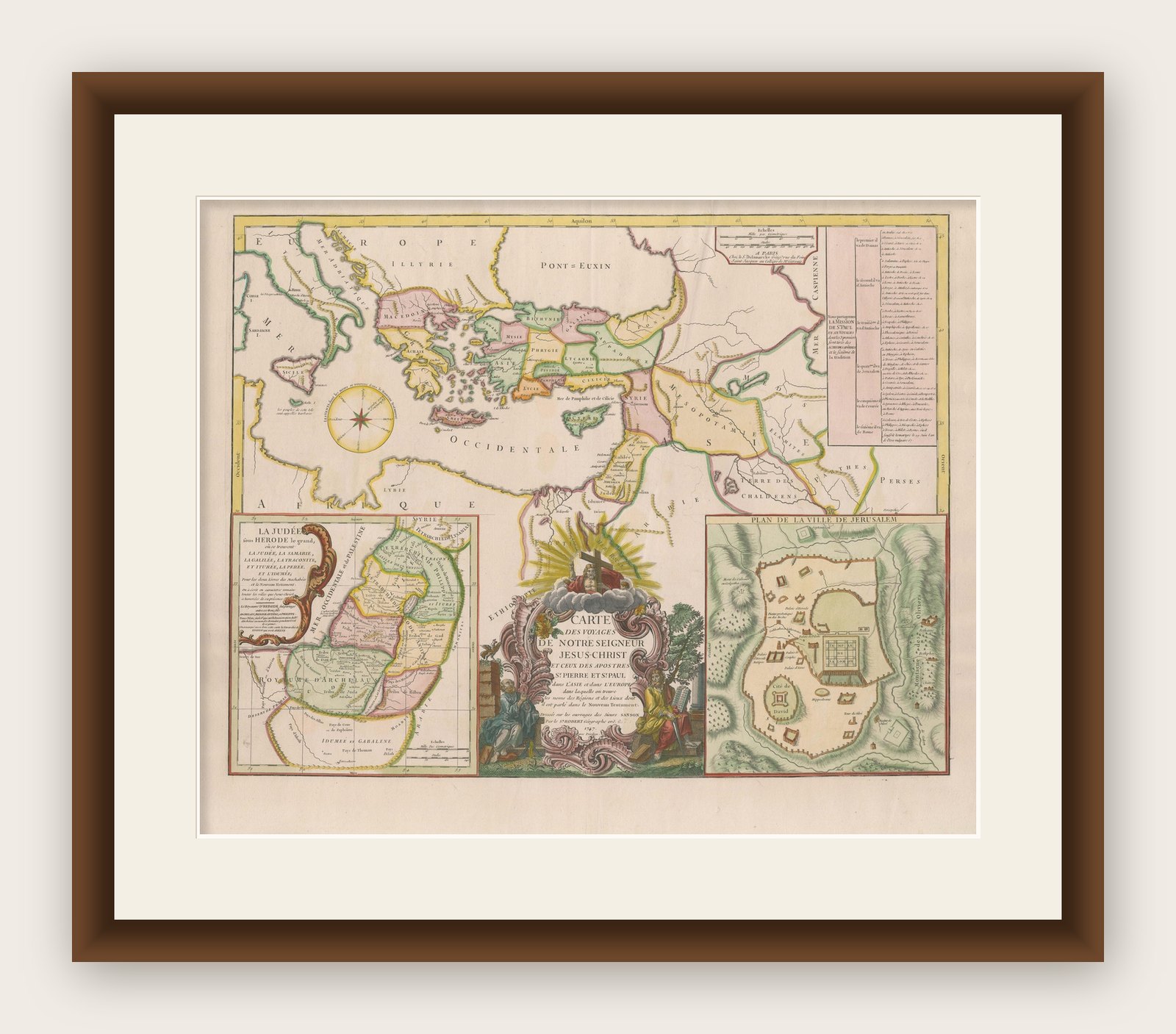
This is an original antique map titled “Carte des Voyages de Notre Seigneur Jesus-Christ et des Actes des Apotres St.Pierre et St. Paul,” created by Matthäus Seutter and published in Augsburg circa 1743. The map illustrates the Holy Land and wider eastern Mediterranean with a focus on biblical geography, depicting the travels of Jesus Christ and the Apostles, particularly St. Peter and St. Paul.
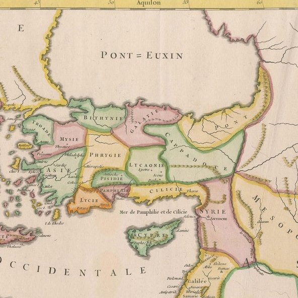
The central map covers the eastern Mediterranean from Italy and Greece to Asia Minor, Syria, and Judea, detailing regions relevant to New Testament narratives. It is beautifully hand colored, with routes marked to trace the journeys of Christ and his Apostles. The seas, islands, and major ancient cities are labeled in Latin, reflecting the scholarly audience of the period.
At the lower left, an inset shows Judea under Herod the Great, providing detailed divisions of tribal territories and key towns of biblical history. To the right is an inset plan of Jerusalem, mapping its sacred landmarks and city layout during the Second Temple period. The map also includes a detailed table of place names and biblical references in the upper right for study and cross-reference.
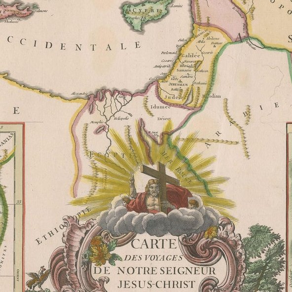
The lower center features an elaborate baroque cartouche with figures of scribes and scholars, symbols of Christian faith such as the cross and chalice, and radiant divine light. This decorative cartouche is characteristic of Seutter’s engraving style, adding dramatic artistic appeal to his cartographic works.
Matthäus Seutter (1678–1757) was one of the most prominent German mapmakers of the 18th century, appointed Imperial Geographer to Emperor Charles VI. His maps are prized for their rich detail, decorative coloring, and elaborate cartouches that blend art with geographical scholarship.
Very good condition. Clean strong impression with vivid original hand coloring. Light age toning to edges, minor spotting in margins, and faint center fold line as issued, with no tears or repairs noted. Fully suitable for framing.
Framing tips: Frame in a gilt or dark wood frame to complement the vibrant hand coloring and baroque cartouche. Use a wide off-white or cream archival mat to enhance the map’s presentation and preserve its edges. UV-protective glass is recommended to protect the paper and pigments from fading over time.