
1816 Large Southern Hindostan Map by J. Thomson – New General Atlas
€ 530
One of a kind: this is the sheet in the photographs. Ships from Langweer, the Netherlands.
Date
1816
Sheet size
53.5 × 73.5 cm (21.1 × 28.9 in)
Reference
BG-13777-4
Condition
good, given age. General age-related toning and/or occasional minor defects from handling. Vertical folds in middle as issued. Please study scans carefully.
About this sheet
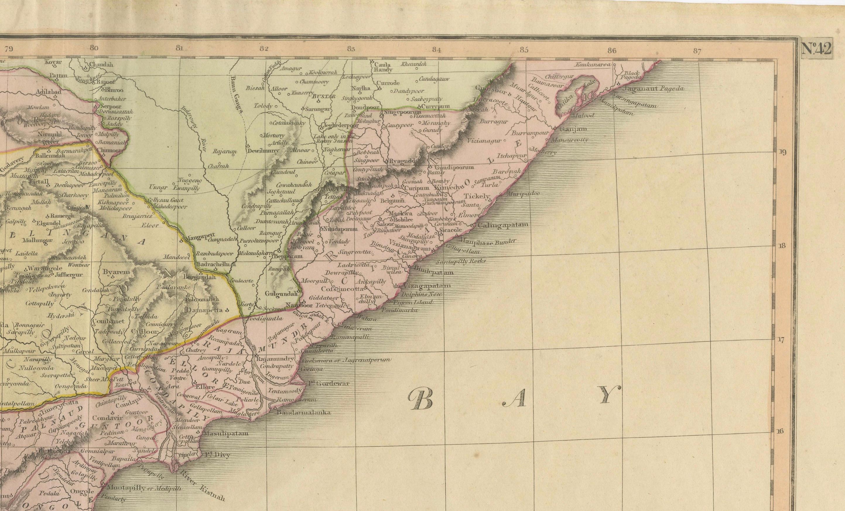
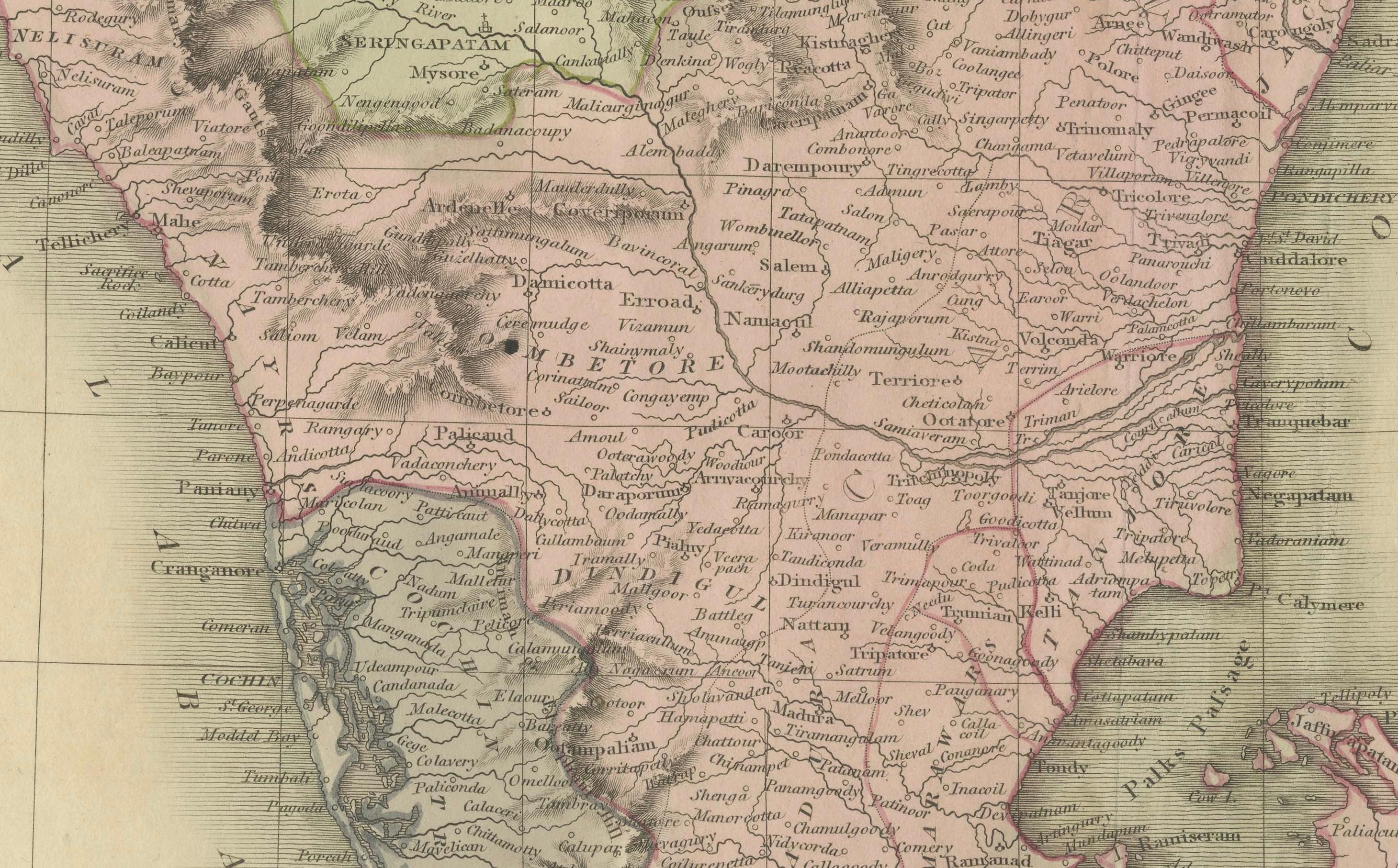
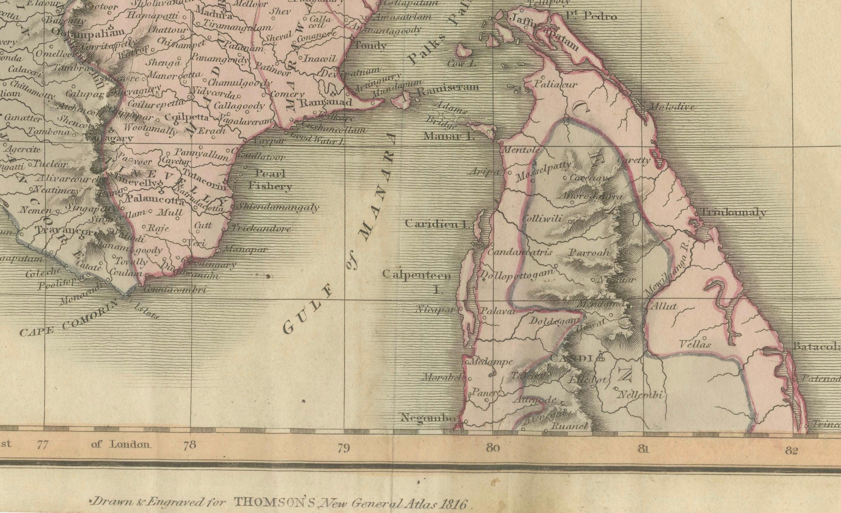
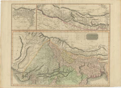
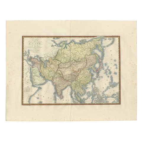
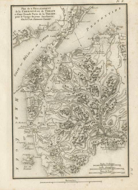
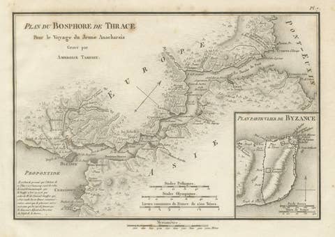
This map, titled "Southern Hindostan," was published in 1816 as part of J. Thomson’s *New General Atlas*. The map covers the southern regions of India, showcasing the detailed geography and political divisions of the area during the early 19th century. It extends from the western coast along the Arabian Sea to the eastern coast bordering the Bay of Bengal, highlighting the region known today as Tamil Nadu, Kerala, Karnataka, and parts of Andhra Pradesh.
The map outlines various kingdoms, territories, and important geographical features, such as the Western Ghats and Eastern Ghats mountain ranges. Coastal cities and ports like Mangalore, Calicut (Kozhikode), and Madras (Chennai) are marked, reflecting the importance of maritime trade routes. The islands of the Laccadives (Lakshadweep) are also depicted in the Arabian Sea.
The map is hand-colored with finely engraved lines, showing provincial boundaries and key settlements. J. Thomson's work is known for its clarity and precision, and this map is no exception, making it a valuable resource for understanding British-era cartography of Southern India.
Condition: The map appears to be in very good condition for its age. The hand-coloring is still vibrant, and the paper shows minimal signs of foxing or toning, which are typical for maps from this period. There may be some light creasing or wear along the folds and edges, but overall, the map retains its clarity and is suitable for both display and collection purposes.
This map is an excellent addition for collectors interested in historical maps of India, British colonial geography, or 19th-century cartographic works. J. Thomson’s *New General Atlas* is highly regarded for its detailed and accurate depictions of global regions, and this map is a prime example of his work.