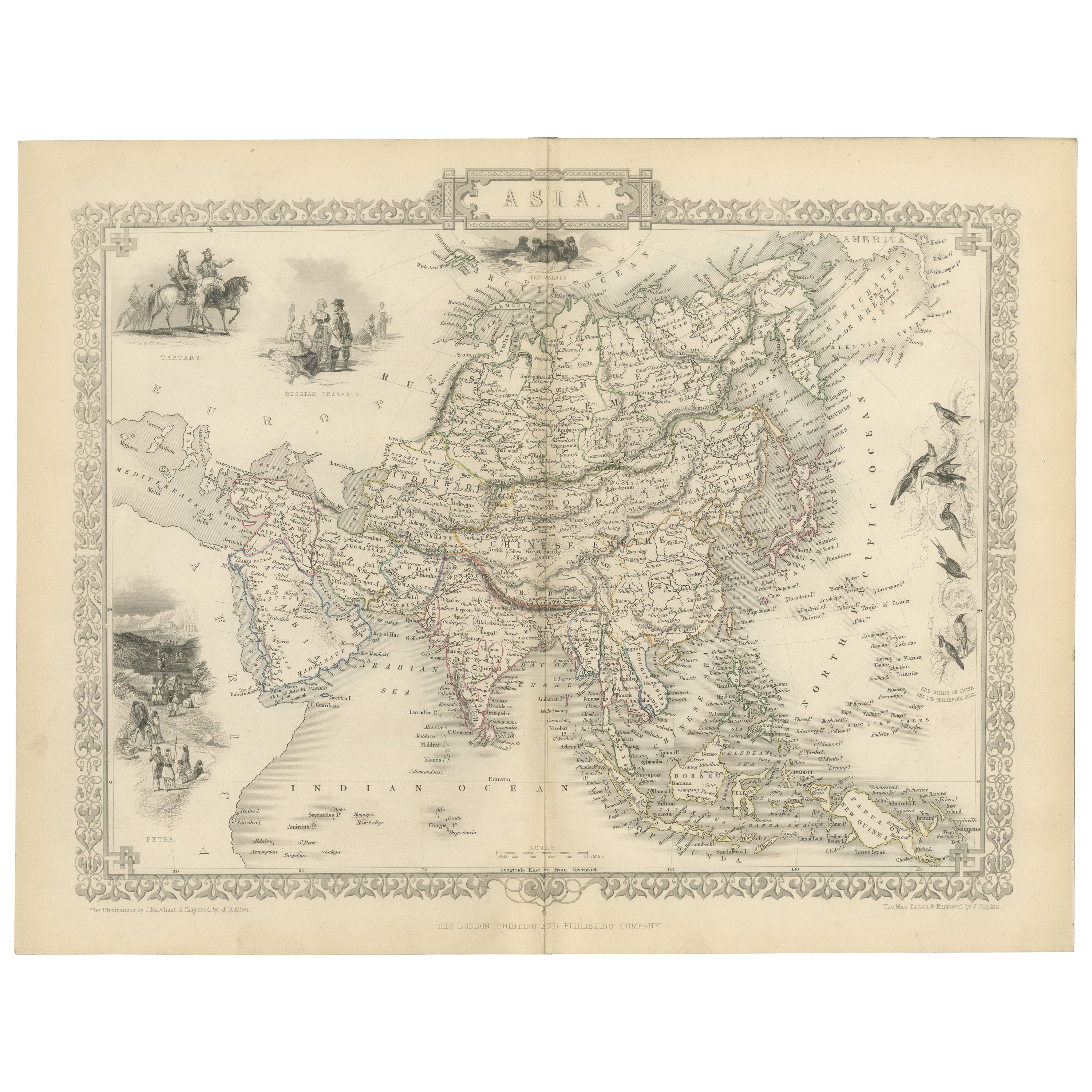
Mid-19th Century Decorative Map of Asia with Cultural and Natural Vignettes
€ 320
One of a kind: this is the sheet in the photographs. Ships from Langweer, the Netherlands.
Sheet size
27.2 × 36.2 cm (10.7 × 14.3 in)
Condition
Good
Reference
BG-13736-13
Condition
Good given age. Original fold in middle as published. General age-related toning, please study scan carefully.
About this sheet
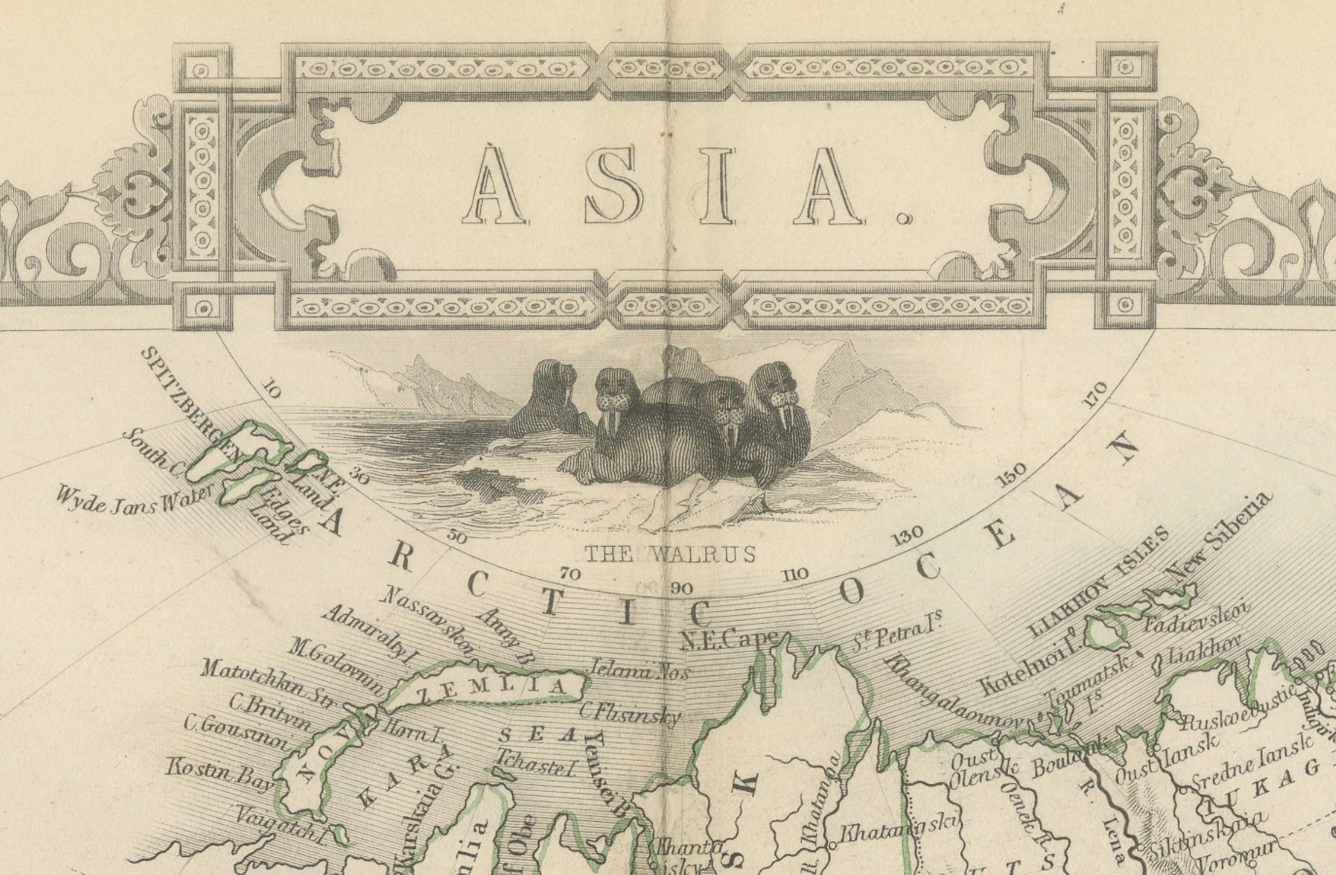
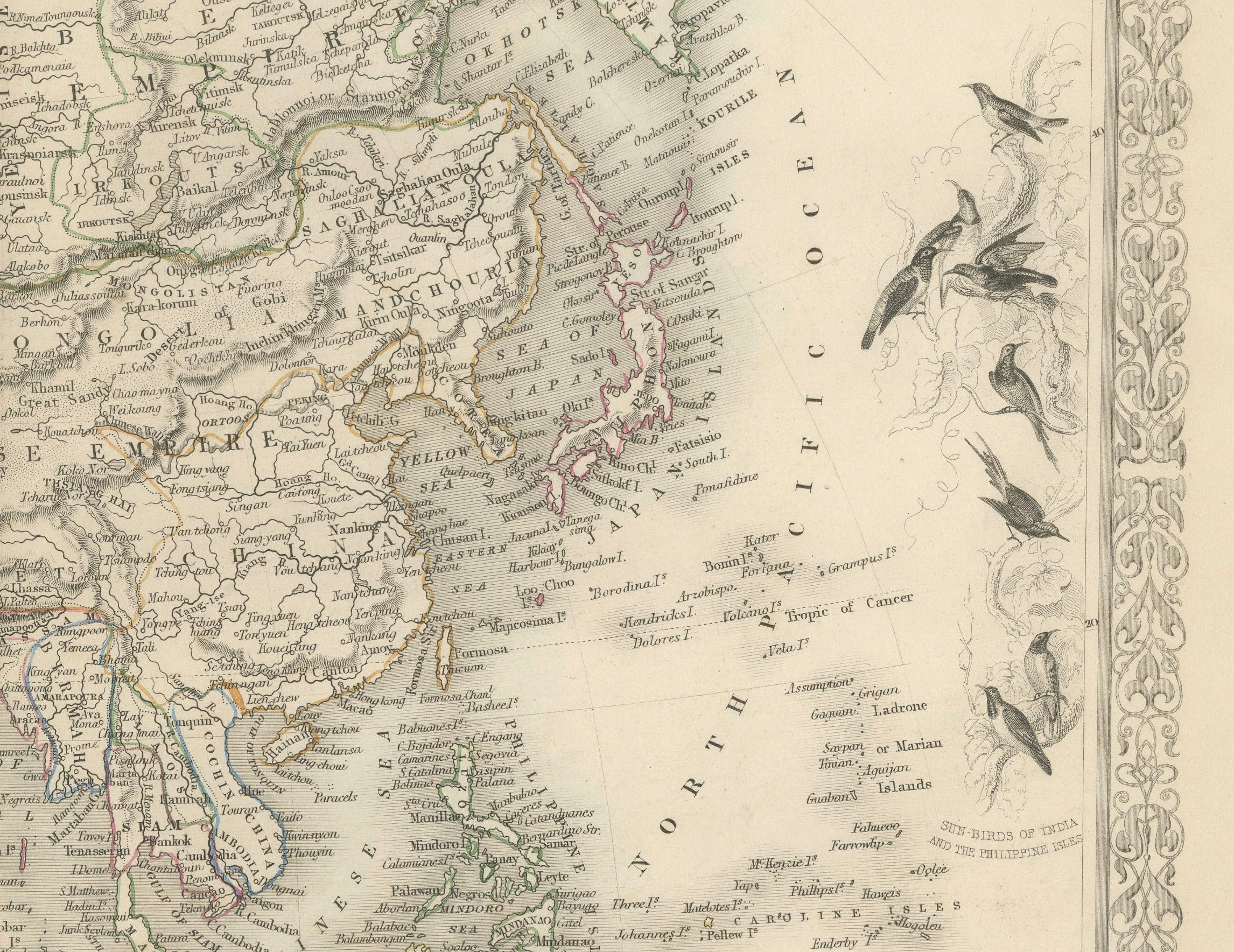
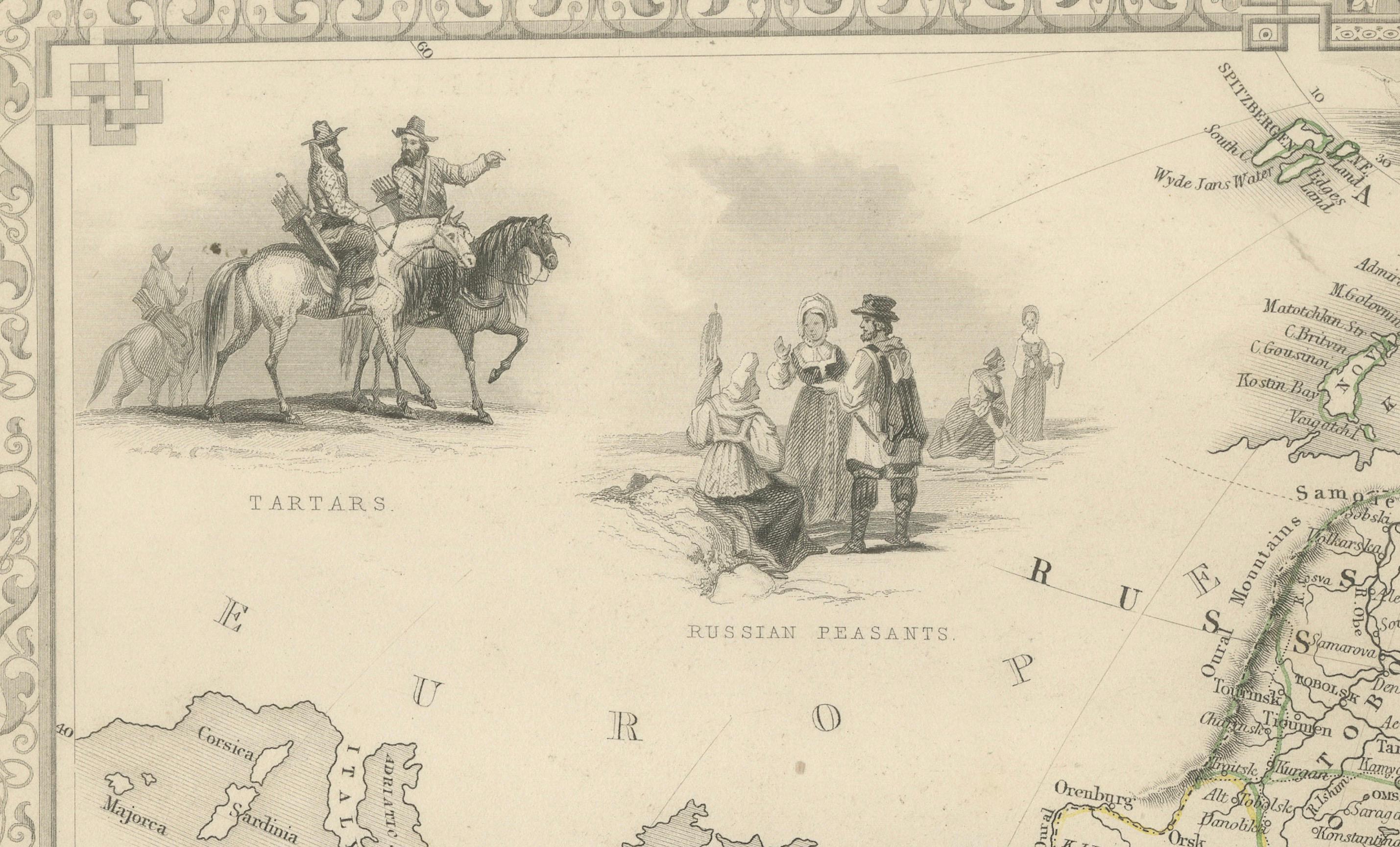
John Tallis & Company, known for their decorative mid-19th-century maps, created this map of Asia. These maps were distinctive for their elaborate borders and detailed vignettes. They often included scenes that reflected the culture, geography, and political relationships of the time.
Robert Montgomery Martin, known for his works on the British Empire, likely provided the textual descriptions accompanying the map, giving insights into the colonial perspective of the era.
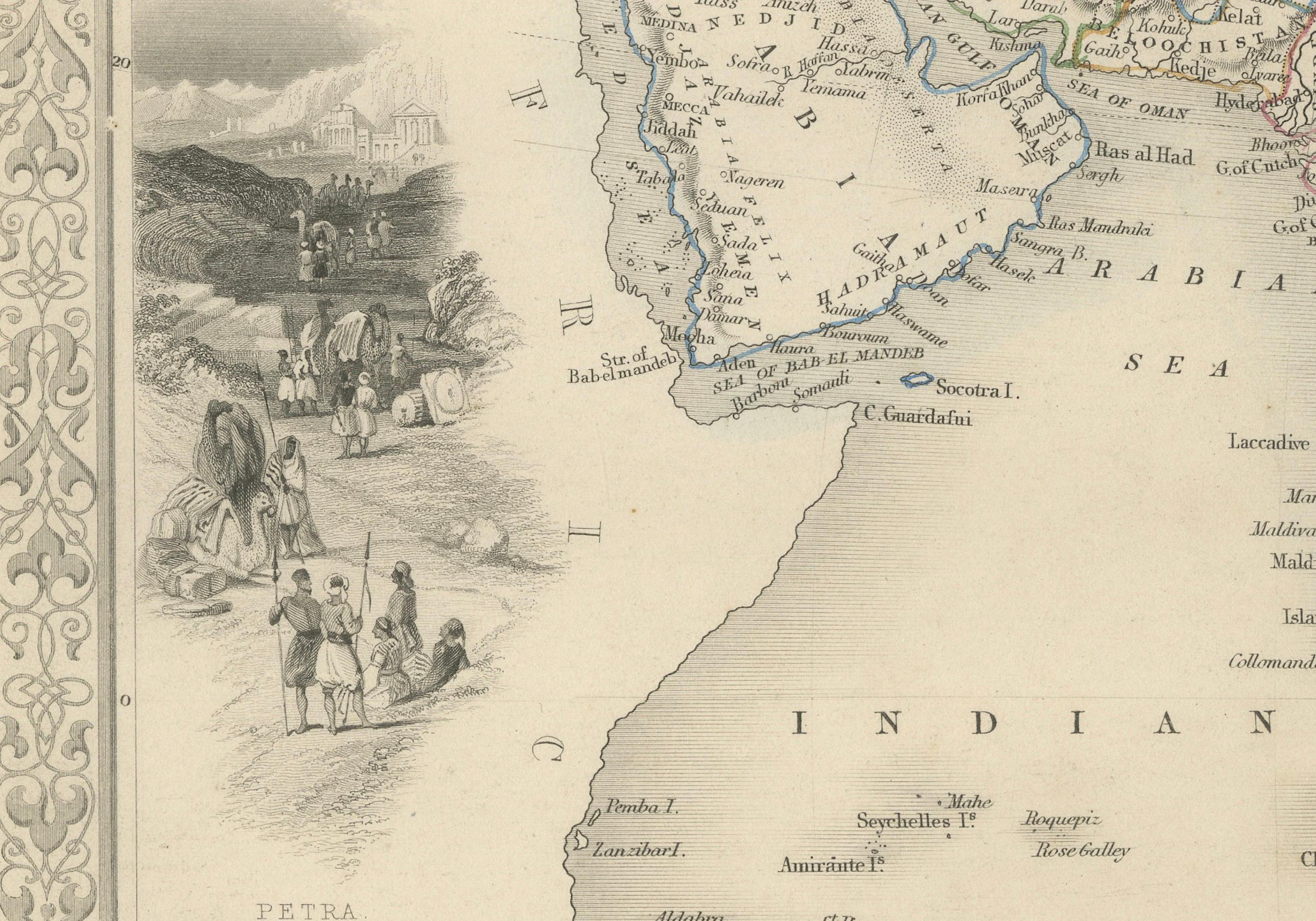
The map itself would have shown the vast continent of Asia with its many countries, emphasizing areas of particular interest to the British, such as India, which was then part of the British Empire. It might have outlined important cities, trade routes, and geographical features.
The illustrations on the map likely depict scenes and people from various parts of Asia, such as:
- Vignettes of locals from different regions, like the Tartars, reflecting the diversity of the continent. - Scenes of daily life or typical activities, like a caravan in the desert, that add depth to the understanding of different cultures within Asia. - Illustrations of flora and fauna unique to the region, like the palm trees and camels, which were often used to convey the exotic nature of the lands beyond Europe. - Perhaps scenes of key cities or landmarks that were important trade centers or points of colonial interest at the time.
Tallis maps are now appreciated not just as navigational tools but as works of art and historical documents. They represent a Victorian vision of the world, characterized by a mix of accurate cartography and romanticized depictions of far-off lands. These maps are especially valued for their portrayal of the world during an era when the global landscape was rapidly changing due to exploration, colonization, and the expansion of empires.