maps-prints.com
✦
Black Friday Sale
Friday 20 to Monday 30 November: up to 30% off original antique maps and prints
The terms
- Up to 30% off selected original antique maps and prints. Every piece is an original, printed in its own time; none is a reproduction.
- The sale runs from Friday 20 November to Monday 30 November. Sale prices shown here apply from Friday 20 November; until then pieces are sold at their regular price.
- Free FedEx shipping on qualifying orders placed on our own websites: USA, Canada, UK and Europe over $500 / €450; rest of the world over $750 / €675. Smaller orders pay our normal shipping rate.
- Orders placed from 15 to 30 November ship from 1 December, in time for Christmas. Our shipping partner is InXpress.
- Each piece is unique, so the sale is while stock lasts.
Collection:AllAmericanSea chartsMilitaryNatural historyFashionArchitectureBotanicalSacredEast Indies
Sale prices apply from Friday 20 November. Save the pieces you like with the heart and come back on Friday.
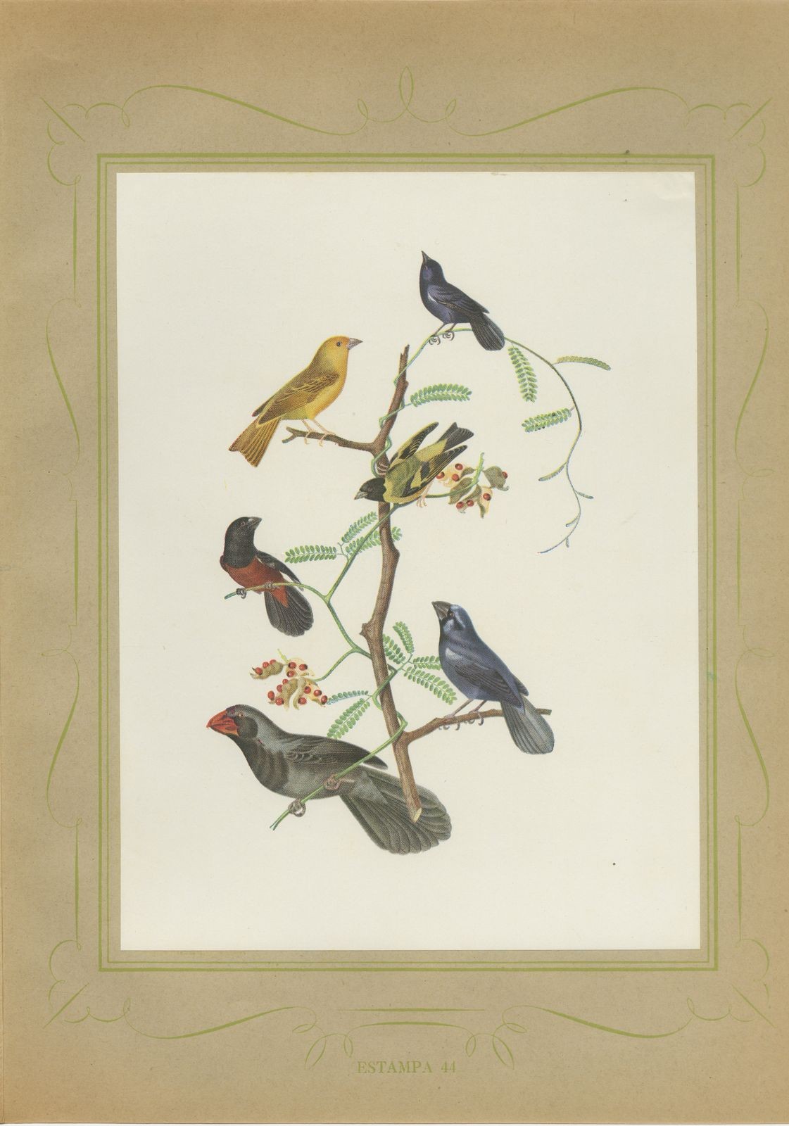 Finches and Seedeaters, Brazilian Bird Print, Descourtilz, 1944
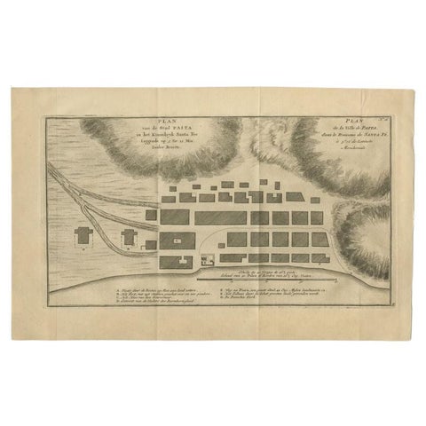 Antique Plan of the City of Paita in Peru, by Anson, 1749
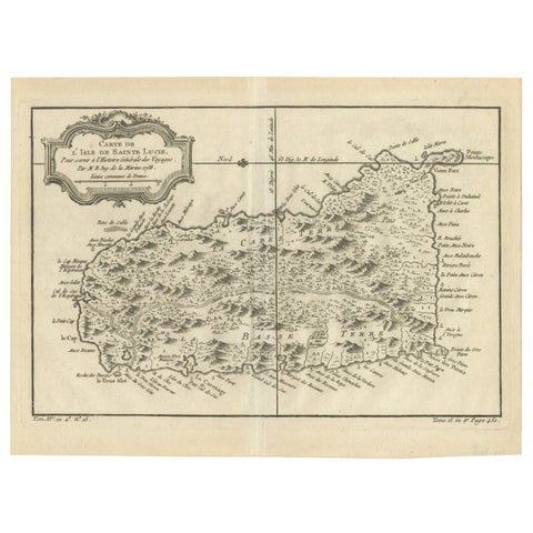 Original Engraved Map of Saint Lucia in the West Indies by Bellin, 1758
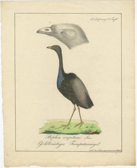 Echoes of the Amazon: The Gold-Breasted Melody, circa 1820
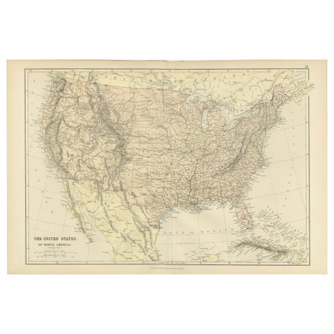 Antique Map of The United States of North America, 1882
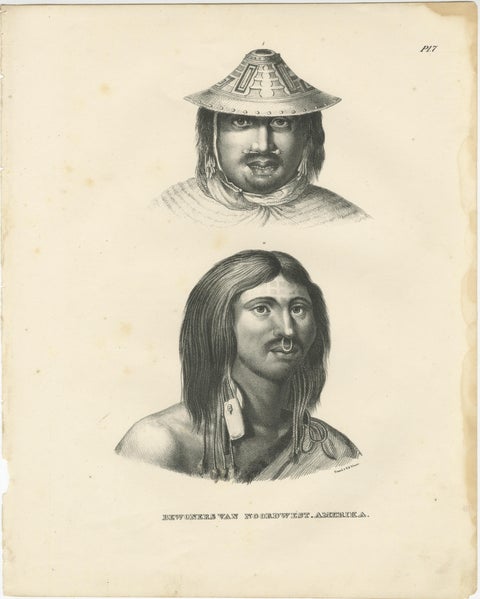 Portraits of Inhabitants of Northwest America by Karl Joseph Brodtmann, 1836
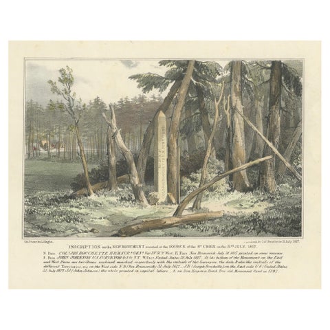 Boundary Marker at St. Croix River Source, 1817 – A Historic Diplomatic Monument
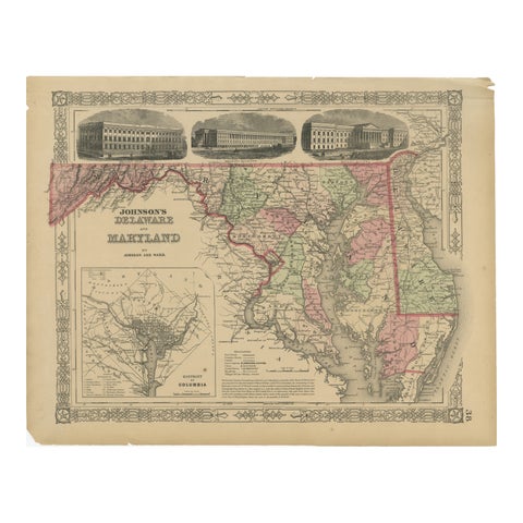 Delaware and Maryland Map – Johnson, Hand-Colored with Insets, 1864
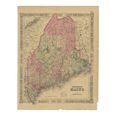 Maine County Map – Johnson, Hand-Colored, USA c.1864
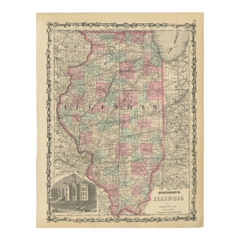 Johnson’s Illinois Map, USA c.1864 – Hand-Colored with Chicago Courthouse View
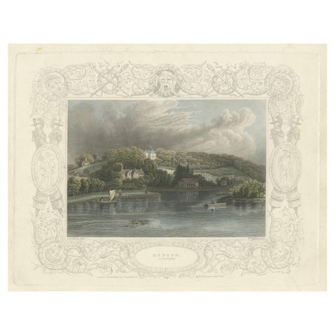 Antique engraving of Hedsor on the Thames, Lord Boston’s estate, Tombleson, 1832
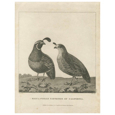 California Quail Pair – Partridge Couple of California, Antique Bird Print, 1798
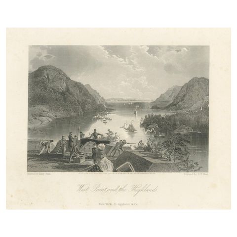 West Point and the Highlands, Hudson River Military View – 1869 Engraving
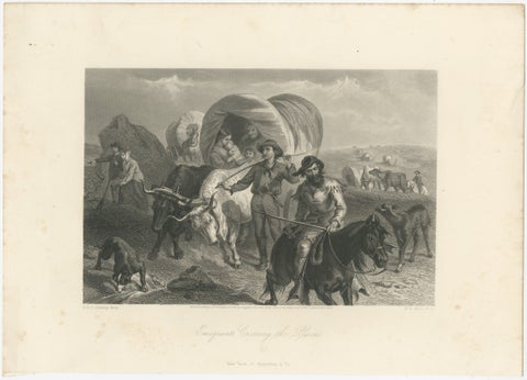 Emigrants Crossing the Plains, American West Wagon Migration – 1869 Engraving
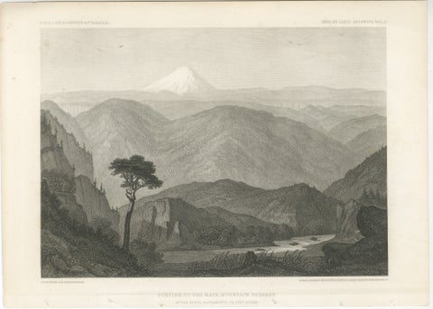 Antique California Landscape Print, Mt Shasta & Sacramento River View 1861
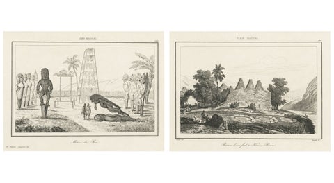 Ancient Hawaiian Temples & Royal Sacred Sites – Pair of Small Engravings, 1836
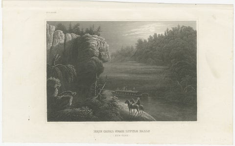 Erie Canal Near Little Falls, New York – Antique American Landscape Print, 1850
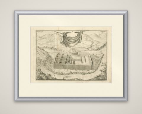 Original Antique Engraving of an Inca Palace in Peru by Jorge Juan & Ulloa, 1748
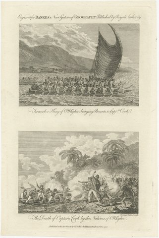 Captain Cook Hawaii Engravings, Death & Royal Encounter, Owhyhee, c.1788
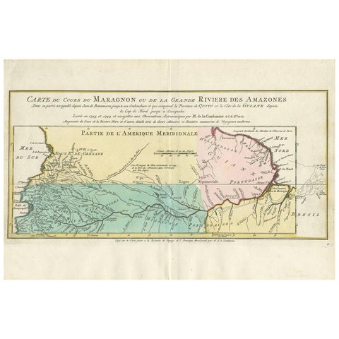 Antique Map of the Course of the Amazon River by E. Van Harrevelt, 1773
 Motmots and Puffbirds, Brazilian Bird Print, Descourtilz, 1944
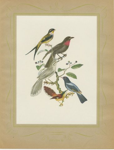 Swallow-Tailed Cotinga and Fruitcrow, Brazilian Bird Print, Descourtilz, 1944
 Tanagers and Honeycreepers, Brazilian Bird Print, Descourtilz, 1944
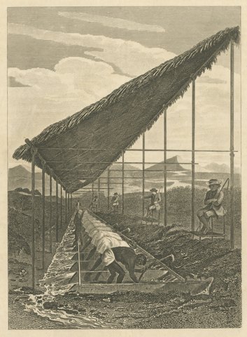 Enslaved Workers Washing for Diamonds in Brazil, Antique Engraving, 1815
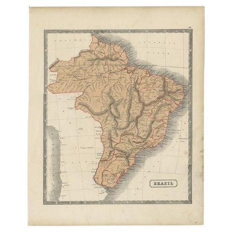 Antique Brazil Map, Sidney Hall Engraving for A & C Black Atlas c.1842–1853
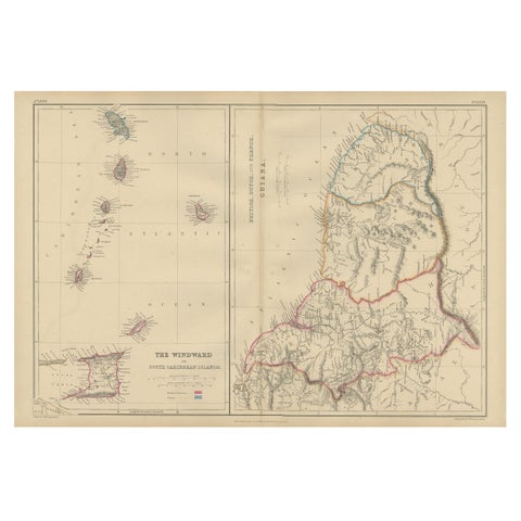 Antique Map the Windward or South Caribbean Islands and Guiana, 1859
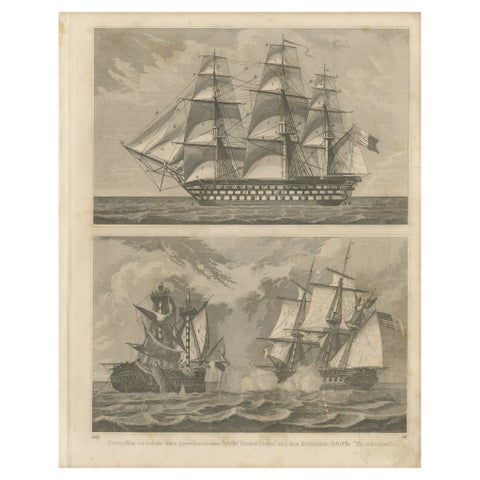 Antique Sea Battle Print Between an American and a British Ship, 1847
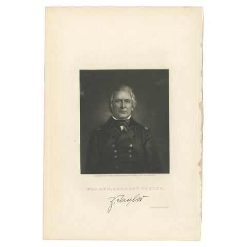 Antique Portrait of Zachary Taylor, the 12th President of the United States
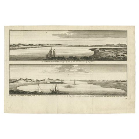 Antique Print with Views of San Julian, Patagonia, Argentina, 1765
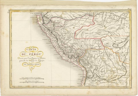 Original Antique Map of Peru with Regions Outlined in Color
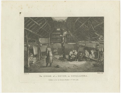 Domestic Harmony: Aleut Household Life in Unalaska, 1784
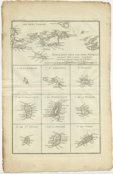 Original Antique Map of the Virgin Islands with Insets of Caribbean Isles, 1787
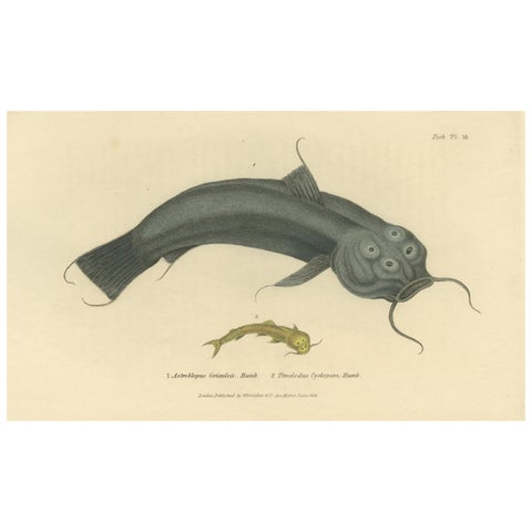 Antique Print with Hand Coloring of Catfish species
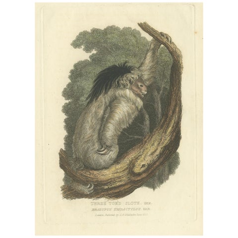 Antique Print with Hand Coloring of a Pale-Throated Sloth
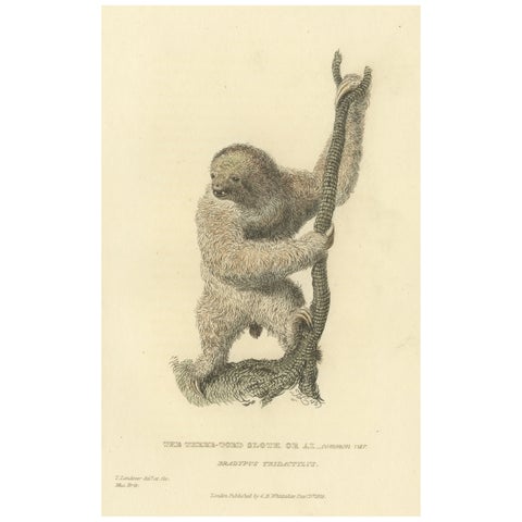 Antique Print with Hand Coloring of a Common Pale-Throated Sloth
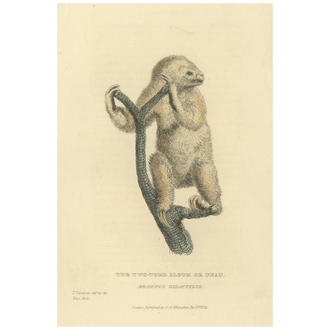 Antique Print with Hand Coloring of a Linnaeus's Two-Toed Sloth, ca.1825
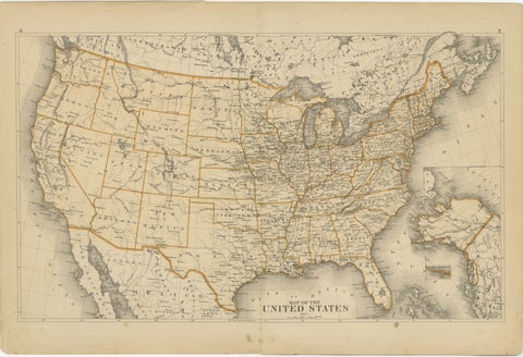 1874 Map of the United States with Territorial Boundaries
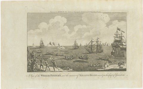 A View of the Whale-Fishery and the Manner of Killing Bears near Greenland, 1778
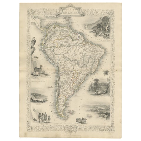 Ornate 1850s Map of South America: A Masterpiece of Exploration & Art by Rapkin
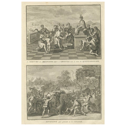 Quetzalcoatl Worship and Hunting Deity – Rare 1734 Engraving of Aztec Rituals
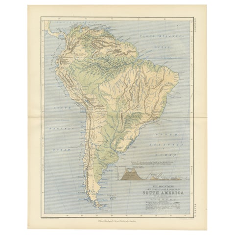 Geological Map of South America by A.K. Johnston – Mountains and Valleys 1852
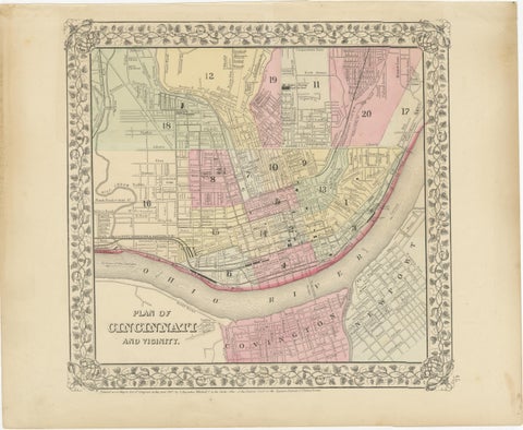 Plan of Cincinnati Map, USA c.1870 – Hand-Colored Street Plan with Wards
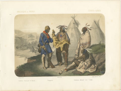 Native American Camp Scene – Trapper and Buffalo Hunters, c.1845
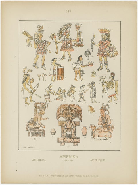 Hand-Colored Print of Ancient American Figures, Pre-1500 Indigenous Art, ca.1880
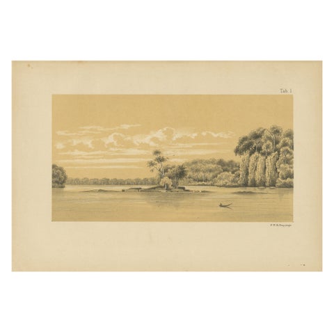 Tafra Island in Suriname - A Romantic River Landscape by Karl Martin, 1888
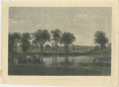 On the Meadows, Orange County, New York – Whittredge, American Landscape c1869
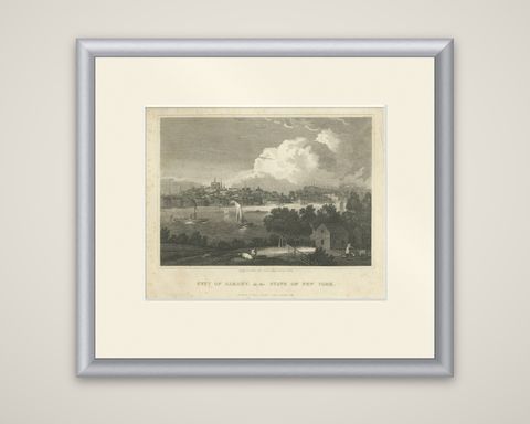 City of Albany, New York, Hudson River View – Antique Engraving, 1827
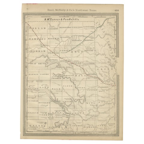 Antique Northwest Texas Map – Panhandle Railroads & Counties, Rand McNally, 1888
Sharing the sale? Download the Black Friday banners.