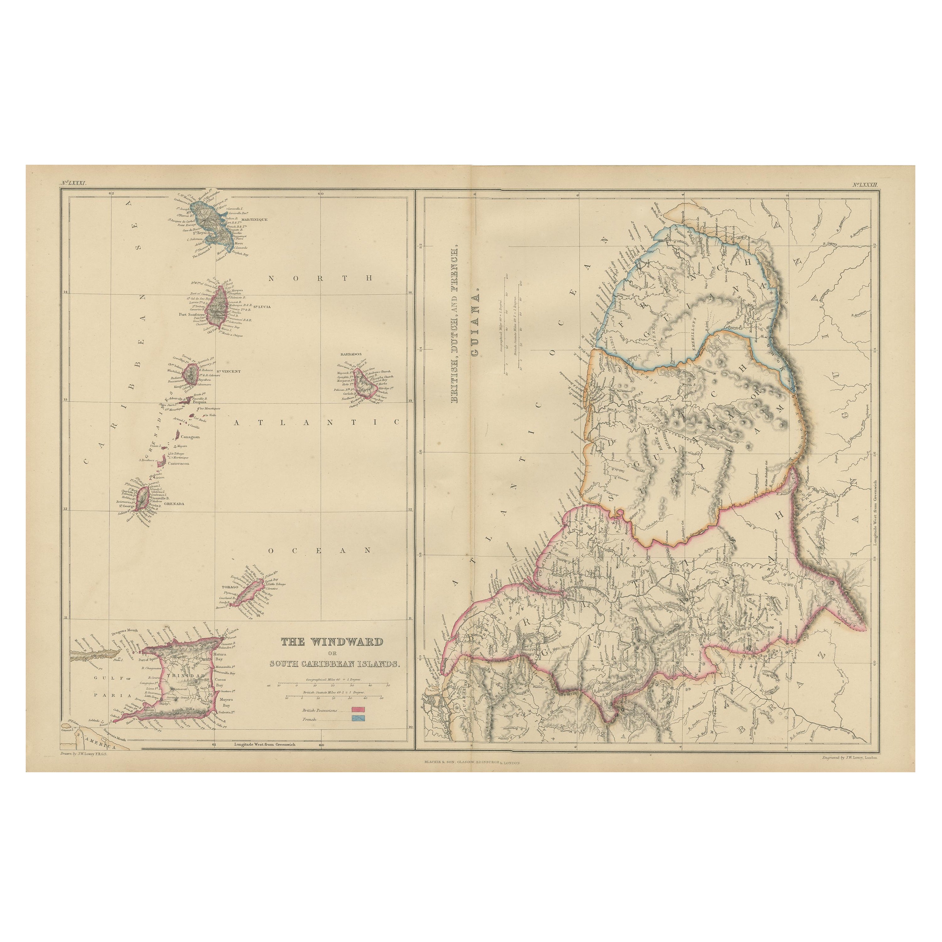
Antique Map the Windward or South Caribbean Islands and Guiana, 1859
€ 260
One of a kind: this is the sheet in the photographs. Ships from Langweer, the Netherlands.
Date
1859
Sheet size
37 × 54 cm (14.6 × 21.3 in)
Condition
Good
Reference
BG-12685-1-82
Condition
General age-related toning. some foxing, Please study image carefully.
About this sheet
Antique map titled 'The Windward or South Caribbean Islands'. Original antique map of South Caribbean Islands. This map originates from ‘The Imperial Atlas of Modern Geography’. Published by W. G. Blackie, 1859.
The Windward Islands, also known as the Islands of Barlovento, are the southern, generally larger islands of the Lesser Antilles. Part of the West Indies, they lie south of the Leeward Islands. The name was also used to refer to a British colony which existed between 1833 and 1960 and originally consisted of the islands of Grenada, Saint Lucia, Saint Vincent, and the Grenadines. Today these islands constitute three sovereign states. The island of Dominica, also today a sovereign state, was traditionally considered a part of the Leeward Islands until 1940, when it was transferred from the British Leeward Islands colony to the British Windward Islands.
French Guiana is an overseas department/region and single territorial collectivity of France on the northern Atlantic coast of South America in the Guianas. It borders Brazil to the east and south and Suriname to the west.