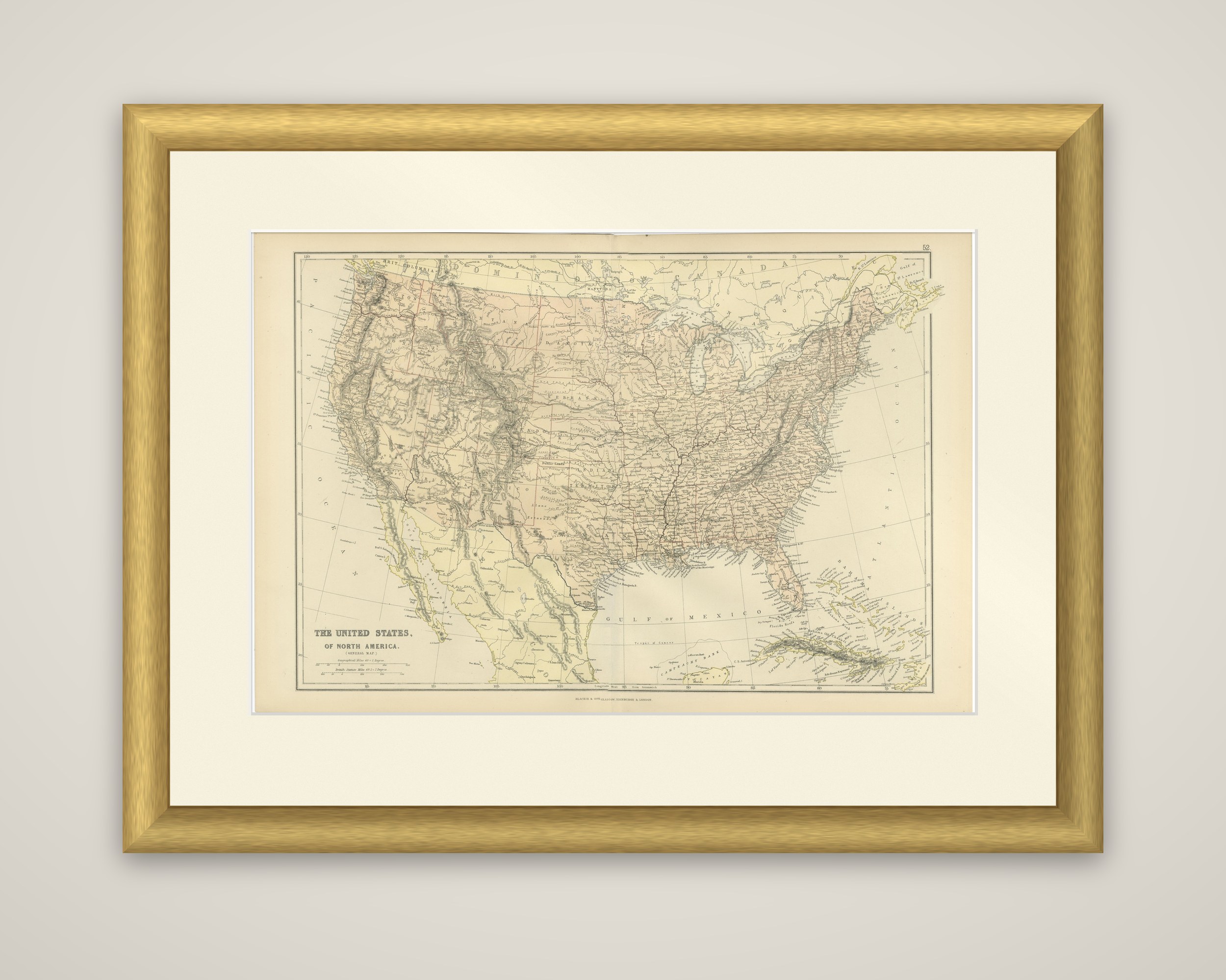
Antique Map of The United States of North America, 1882
€ 270
Original antique · The actual sheet photographed · Certificate of authenticity on request · Sold unframed · Worldwide shipping from € 15 (rates)
Date
1882
Sheet size
38 × 57 cm (15.0 × 22.4 in)
Condition
Good
Reference
BG-13601-2-61
What the condition grades mean
Excellent
Bright and clean, with no faults worth mentioning.
Very good
Only light signs of age, such as faint toning.
Good
Normal signs of age for a sheet of this period: toning, some foxing, small marks or neat old repairs.
Fair
Clear faults such as staining, tears or repairs, priced to match.
Every fault we see is written in the condition note, and the whole sheet is shown uncropped in the photos.
Condition
Good condition, folding line in the middle. The outer borders are slightly discolored due to age, but not the image. Study the image carefully.
About this sheet
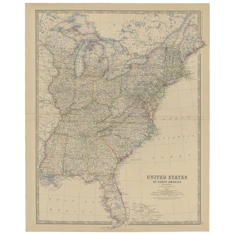
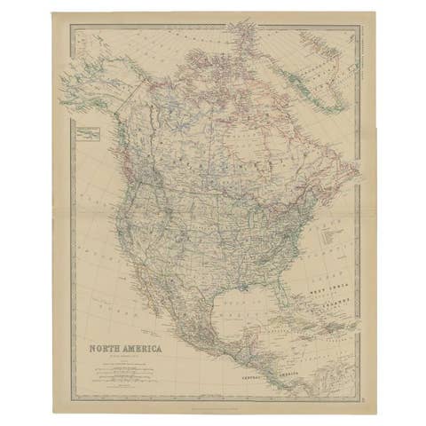
The United States of North America, a general map from the 1882 Blackie atlas, published by Blackie & Son. The title "The United States of North America (General Map)" is engraved at the lower left with scales of English and geographical miles beneath it, and the plate number 52 is printed in the upper right corner.
The sheet shows the country from the Pacific coast to the Atlantic, with the Dominion of Canada across the top and northern Mexico along the lower left. The Gulf of Mexico, Florida, Cuba and the Bahamas appear at the bottom right. State and territory lines are drawn with color tints, the Rocky Mountains and the Appalachians are drawn with hachures, and the dense network of railways in the eastern half of the country thins out toward the West.
The date of the sheet falls in the decade after the Union Pacific and Central Pacific completed the first transcontinental line, when the Western territories were still being organized into states.