About this sheet
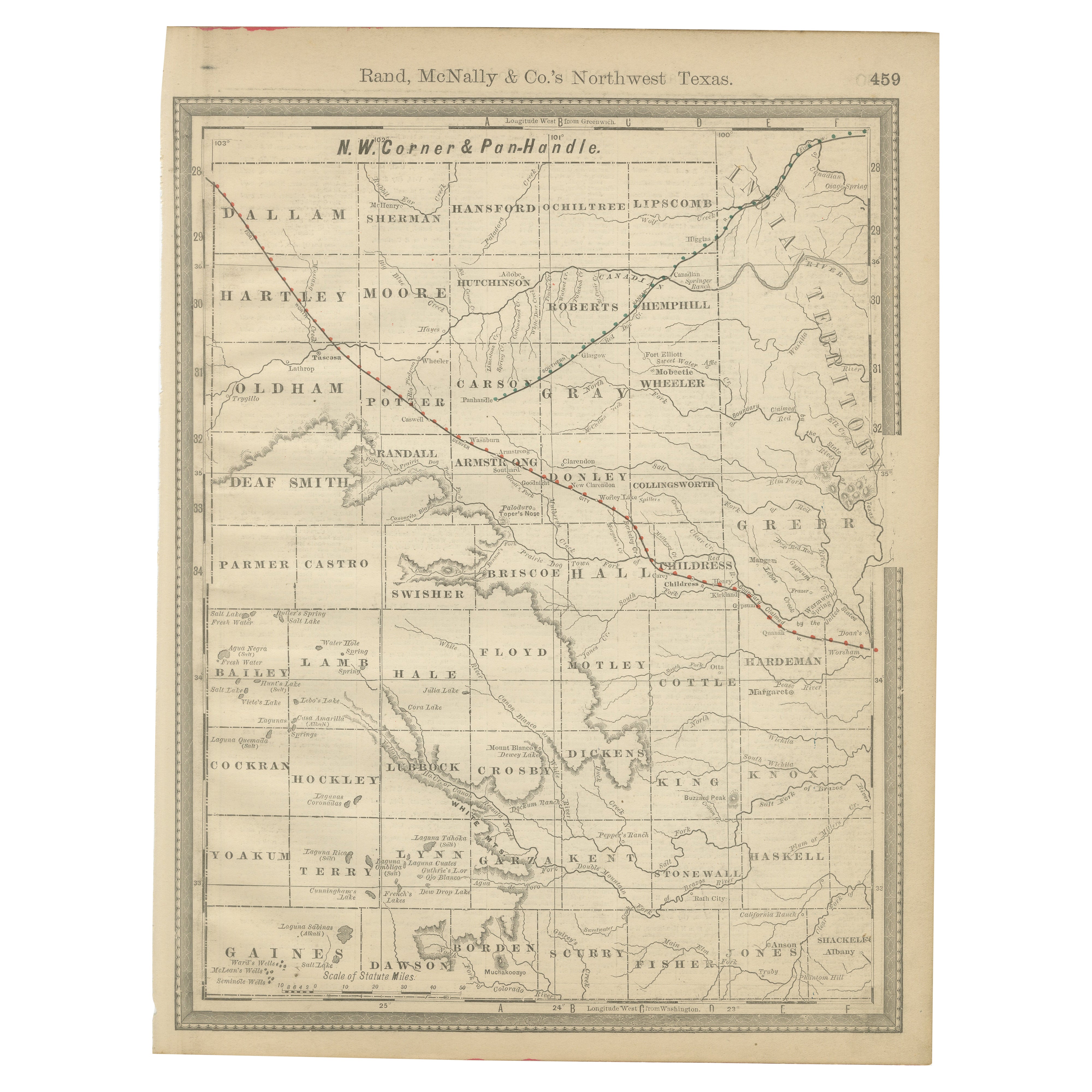
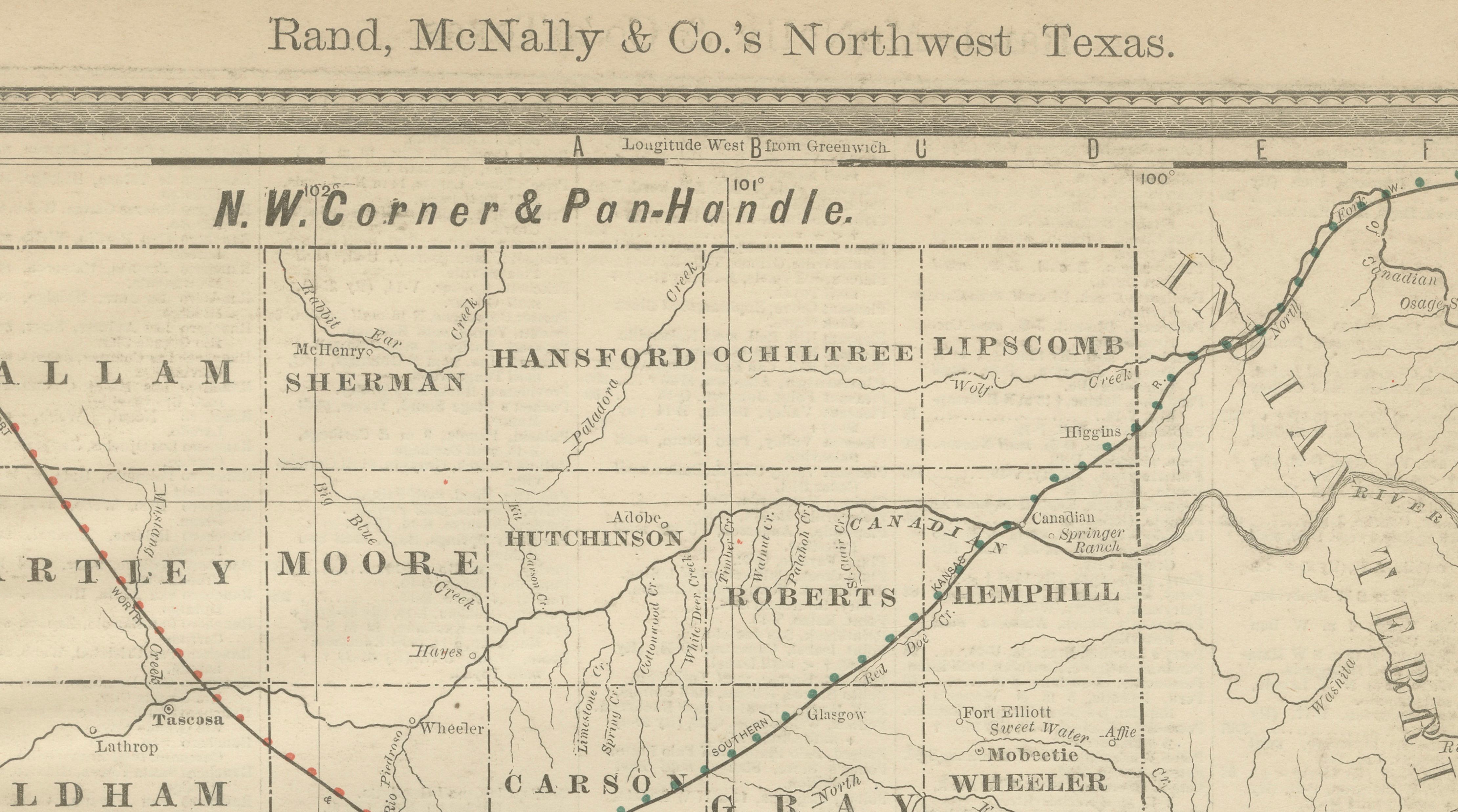
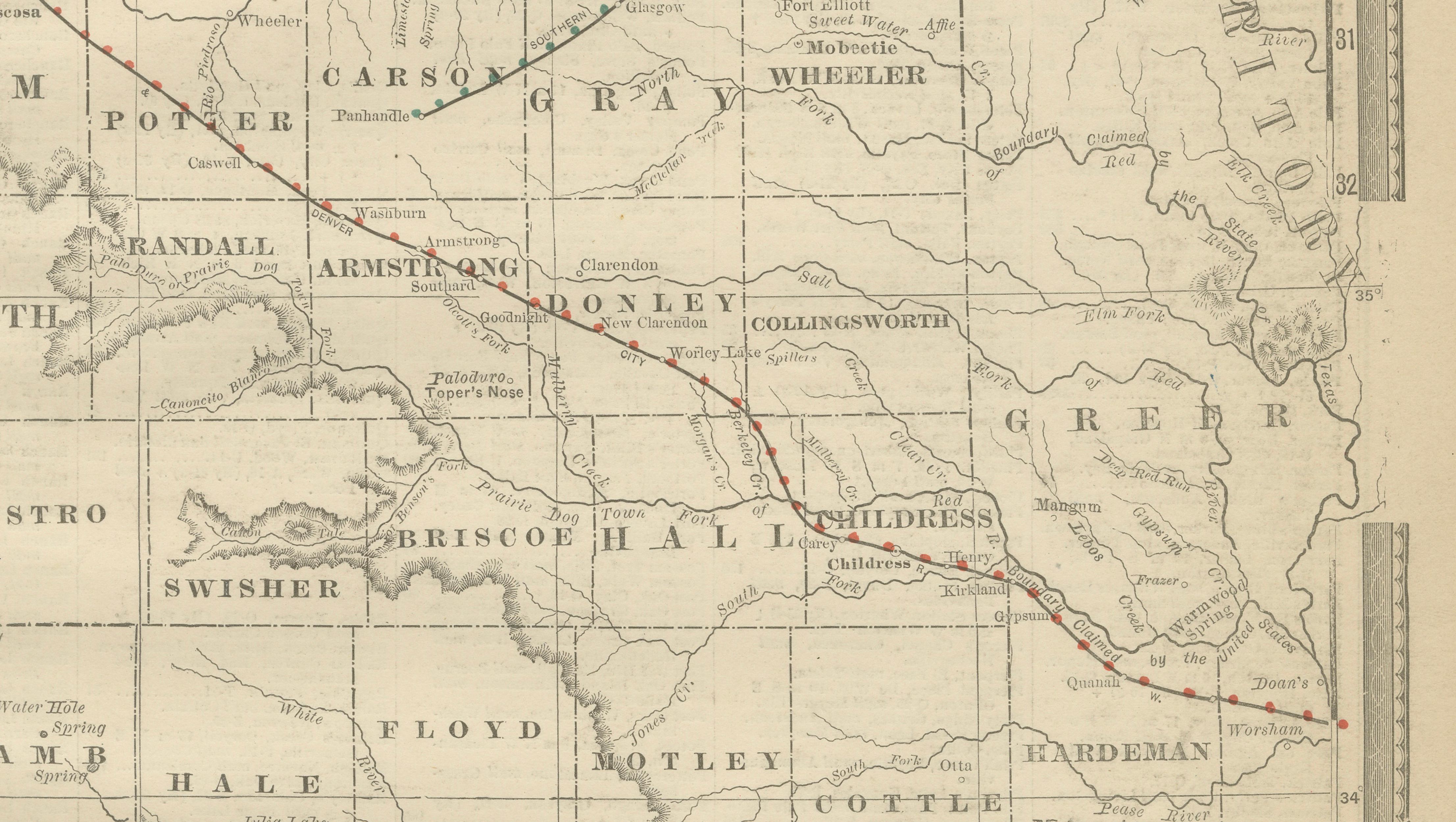
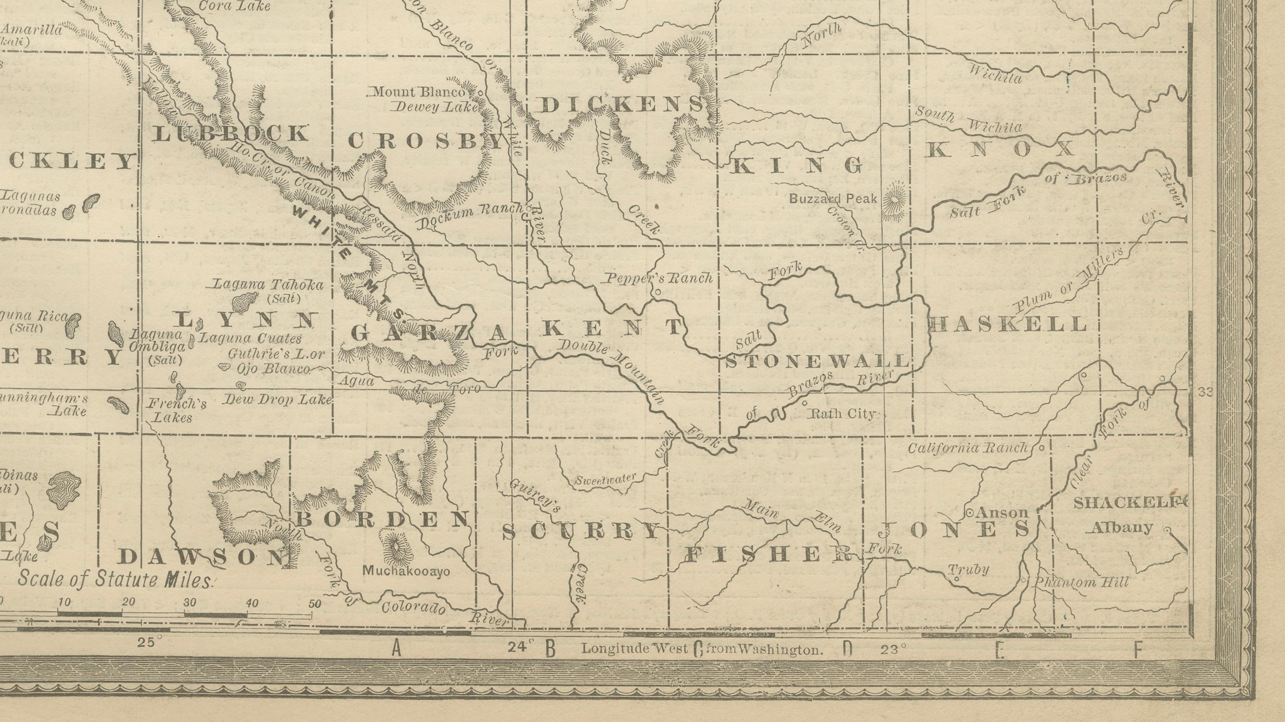
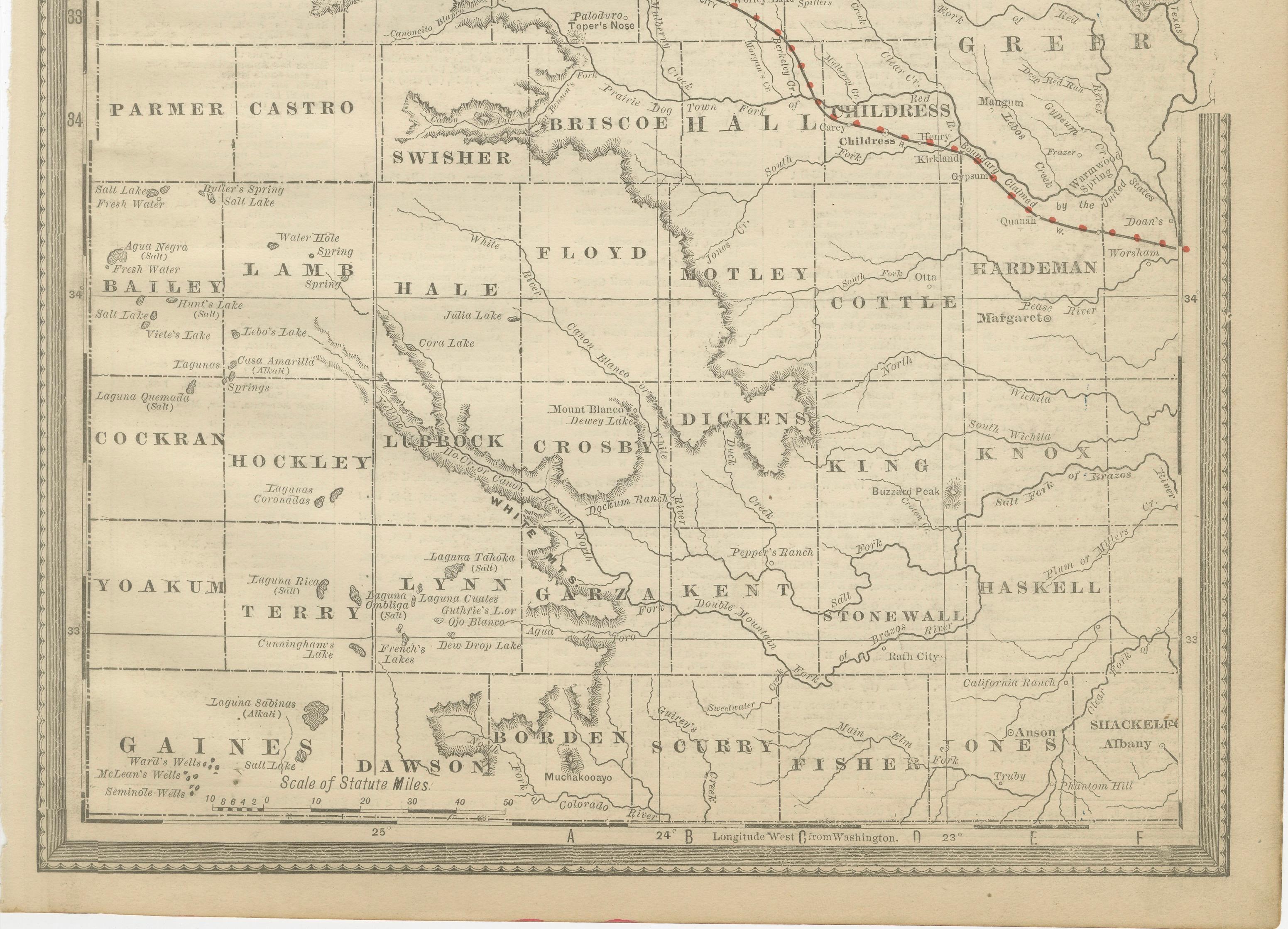
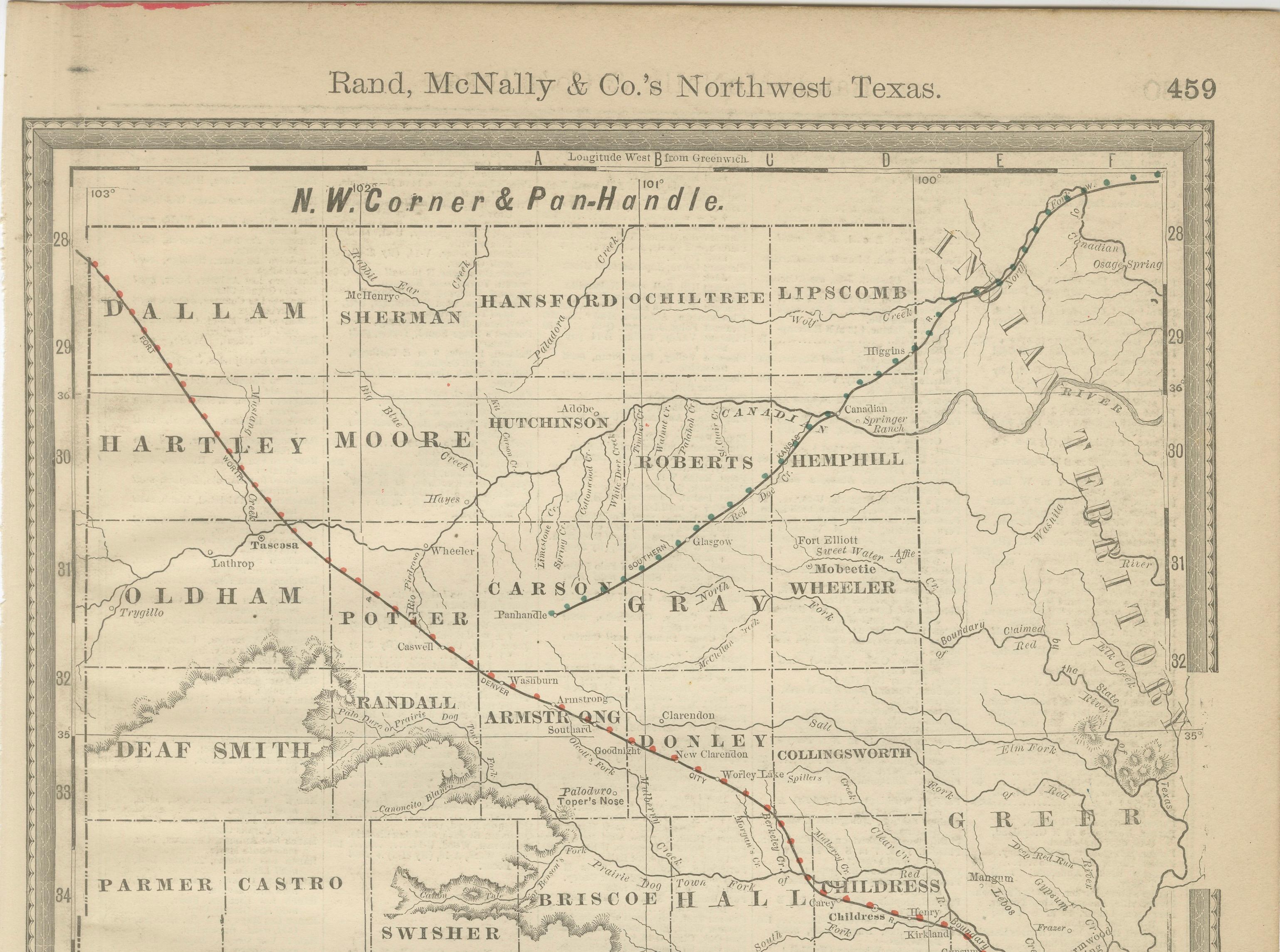
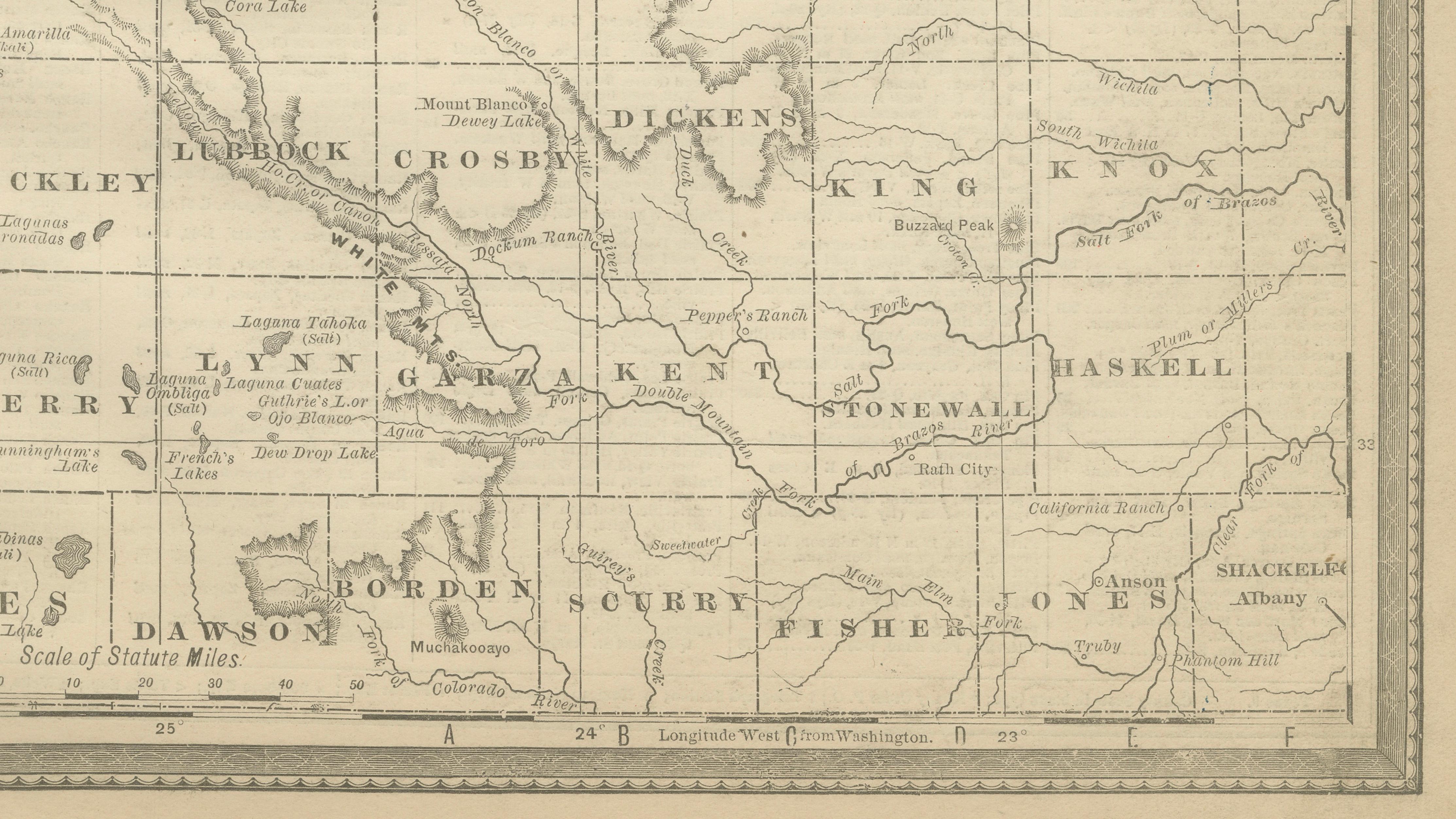
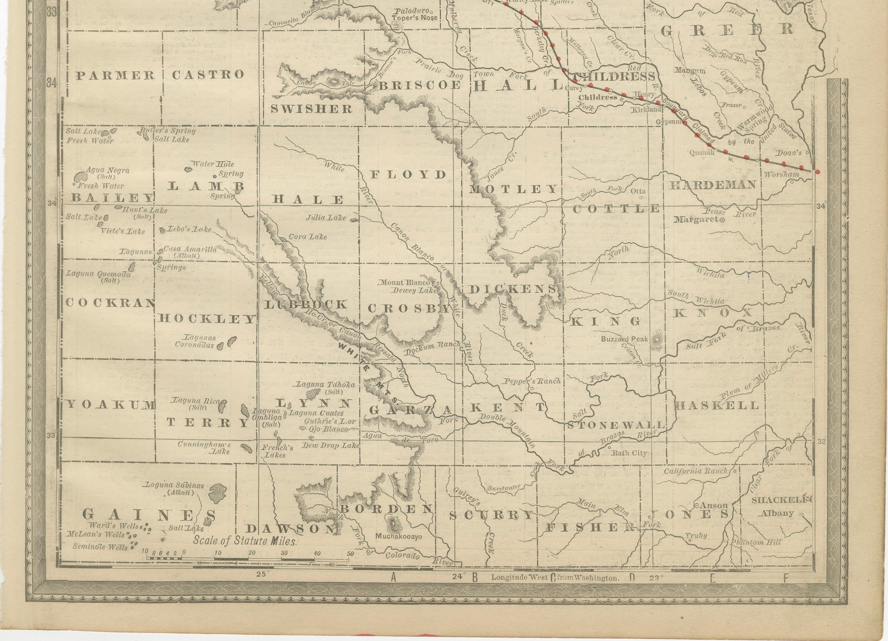
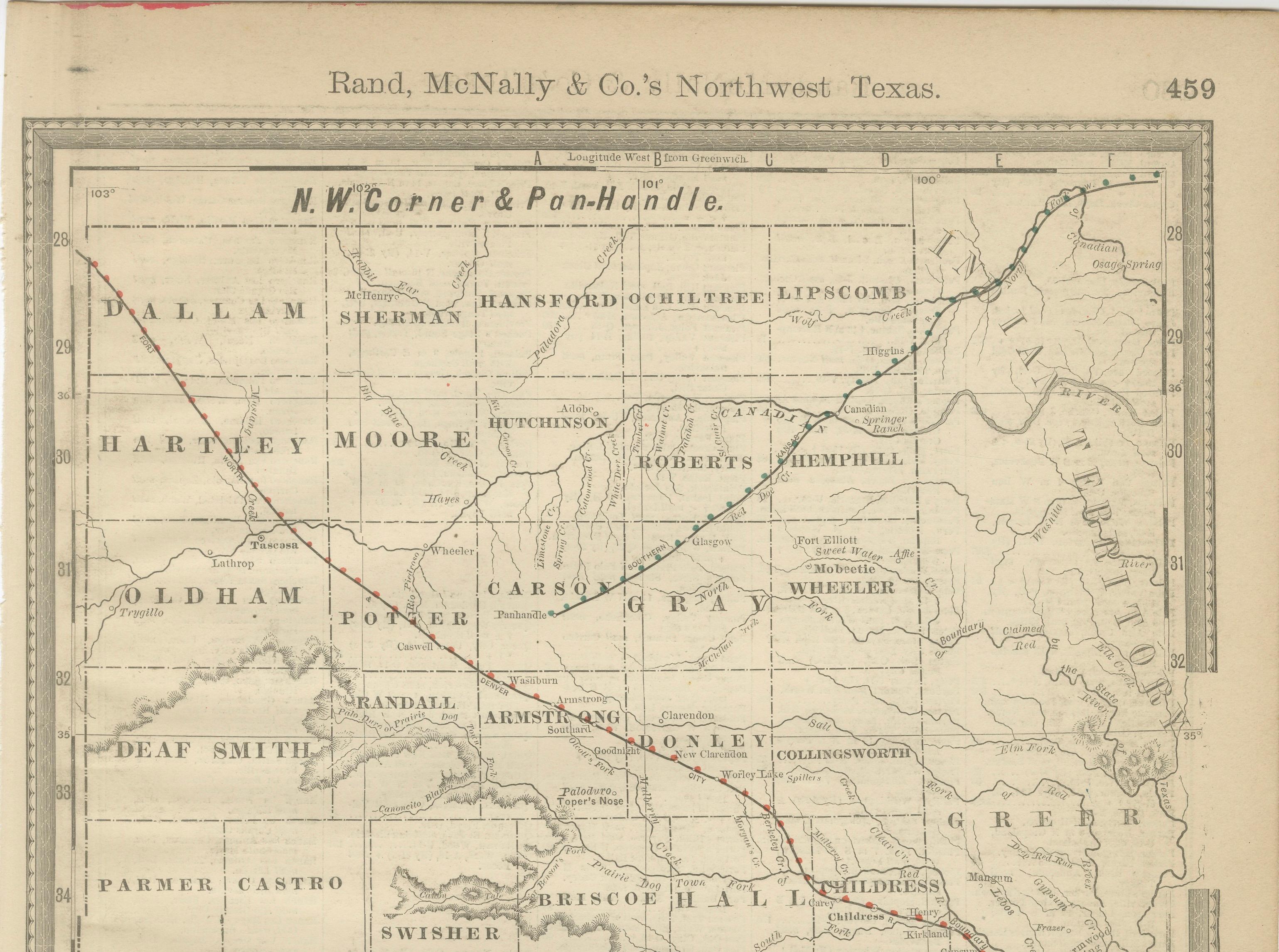
This original antique atlas map depicts Northwest Texas and the Panhandle, showing county boundaries, early settlements, rivers, and developing railroad lines in clear, precise detail. The composition has a quiet, graphic quality, with pale tonality and fine engraving that give it strong decorative appeal despite its highly specific regional focus.
Published by Rand, McNally & Co. in the late 19th century, the map captures a formative moment in Texas history, when railroads and county organization were rapidly reshaping the landscape. Counties such as Potter, Randall, Deaf Smith, Gray, Wheeler, and Childress are clearly delineated, making this map particularly attractive for collectors with geographic or historical ties to the region.
The restrained palette and open layout allow the map to read cleanly as wall art. Its vertical format works especially well in studies, offices, libraries, or regional-themed interiors, where it functions as both a historical document and an understated decorative piece.
Printed on original period atlas paper, the sheet retains the authentic surface texture and gentle warmth expected of a genuine antique map. When framed, it presents as elegant and architectural rather than overly technical.
Condition report: Light age toning consistent with age. Minor edge wear and handling marks from original atlas binding. Overall well preserved and clean.
Framing tips: Best framed in walnut, oak, or black with an ivory or warm off-white mat. Museum glass recommended.
Technique: Color lithograph
Maker: Rand, McNally & Co., United States, late 19th century
Keywords:
antique texas map, northwest texas map, texas panhandle map, rand mcnally map, texas wall art, railroad map texas, antique atlas map, historical texas map, regional wall decor, texas history print