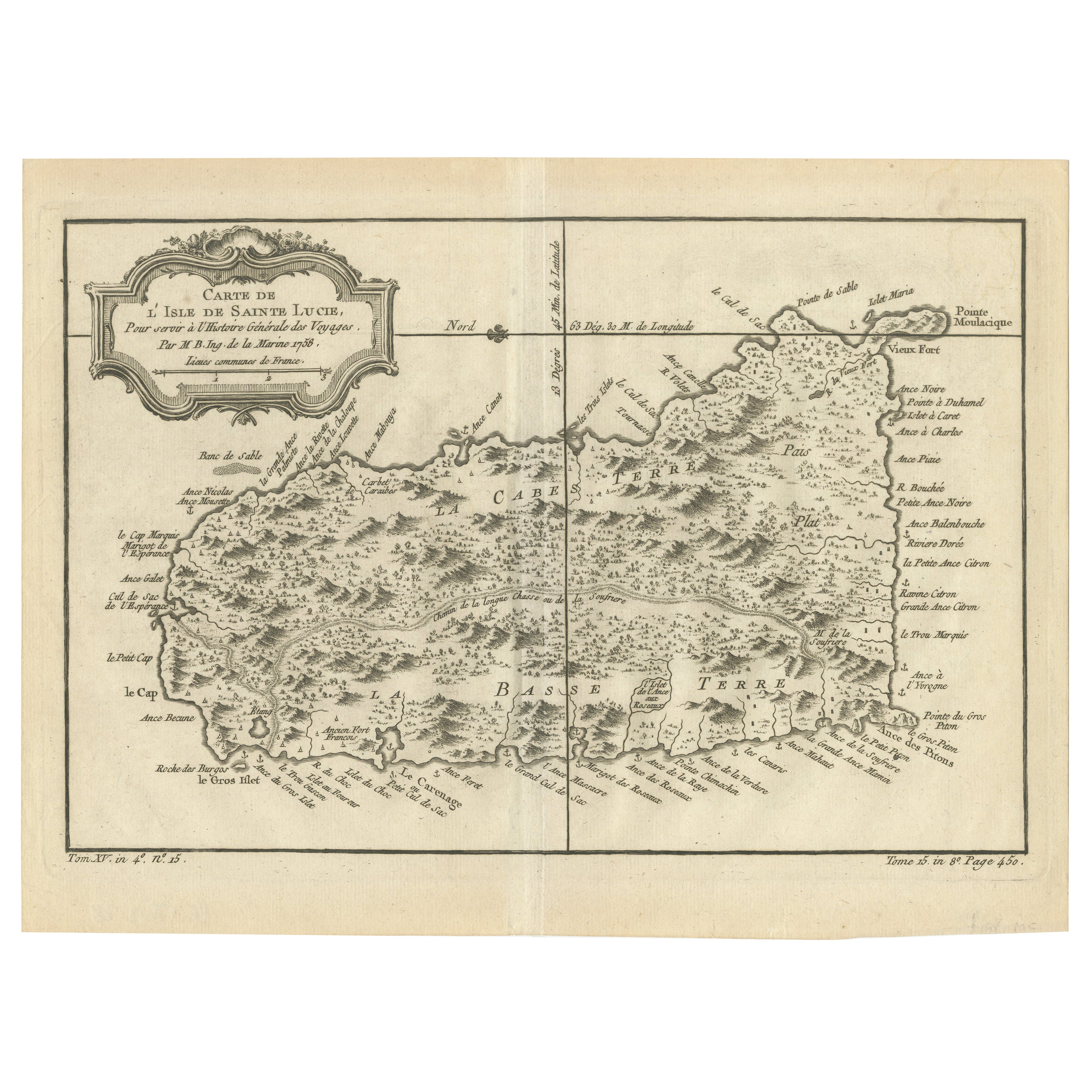
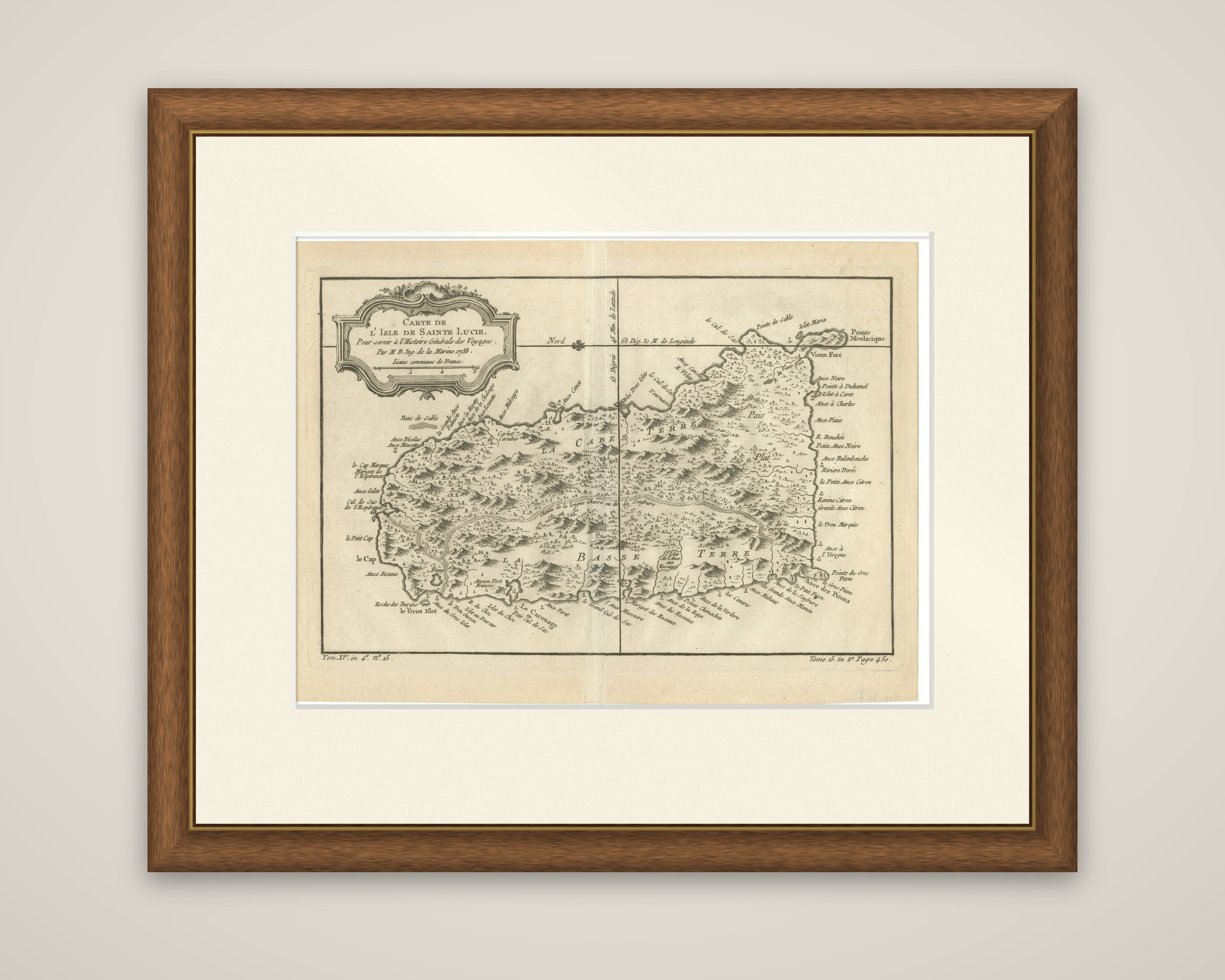
Original Engraved Map of Saint Lucia in the West Indies by Bellin, 1758
€ 270
Original antique · The actual sheet photographed · Certificate of authenticity on request · Sold unframed · Worldwide shipping from € 15 (rates)
Date
1758
Sheet size
24.5 × 33 cm (9.6 × 13.0 in)
Condition
Good
Reference
BG-13618-28
What the condition grades mean
Excellent
Bright and clean, with no faults worth mentioning.
Very good
Only light signs of age, such as faint toning.
Good
Normal signs of age for a sheet of this period: toning, some foxing, small marks or neat old repairs.
Fair
Clear faults such as staining, tears or repairs, priced to match.
Every fault we see is written in the condition note, and the whole sheet is shown uncropped in the photos.
Condition
Very Good; Thin on hand laid (verge) paper, but very clean and very suitable for framing. Flattened folding line. Most antiquarian maps and prints are subject to some normal aging due to use and time which is not obtrusive unless otherwise stated.
About this sheet
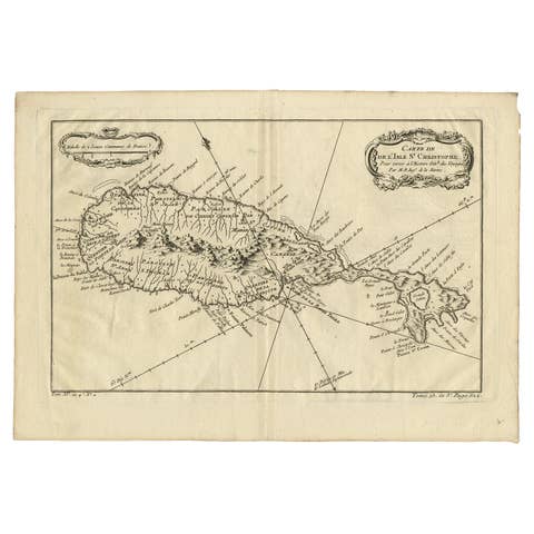
Saint Lucia mapped by Jacques Nicolas Bellin in 1758, an original copper engraving made for Prevost's Histoire Generale des Voyages. The cartouche reads "Carte de l'Isle de Sainte Lucie, pour servir a l'Histoire Generale des Voyages, par M. B. Ing. de la Marine, 1758", and the plate numbers in the lower corners locate it within the volume.
The island is shown in hachure with the central mountain chain, woods and rivers. Vieux Fort, the Pitons, the Carenage and Gros Islet are all marked, and the coast is dotted with named anses, points and bays. The island's main districts, Cabes Terre and Basse Terre, are lettered across the interior. A decorative rococo title cartouche fills the upper left, and the sheet carries a north indication and the longitude within its border.
Bellin (1703 to 1772) was Royal Hydrographer and engineer of the French Navy. His maps for Prevost's multivolume collection of voyages and travel accounts were drawn to a standard that made them useful as a record of the French islands in the middle of the eighteenth century.