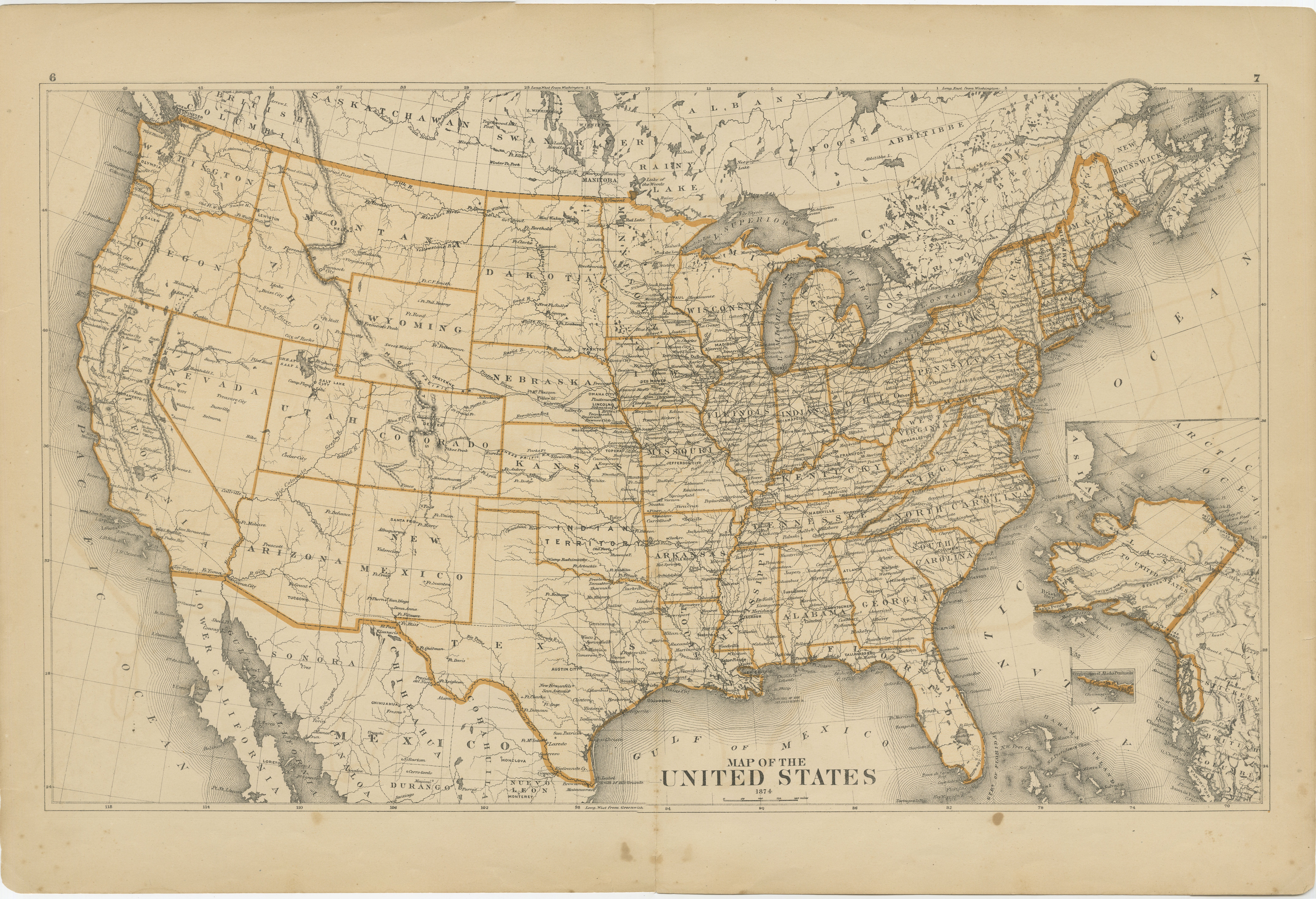
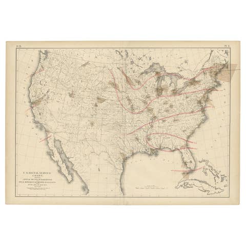
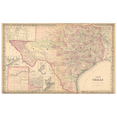
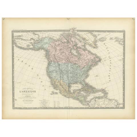
1874 Map of the United States with Territorial Boundaries
€ 260
One of a kind: this is the sheet in the photographs. Ships from Langweer, the Netherlands.
Date
1874
Sheet size
40 × 59 cm (15.7 × 23.2 in)
Reference
BG-13952-6
Condition
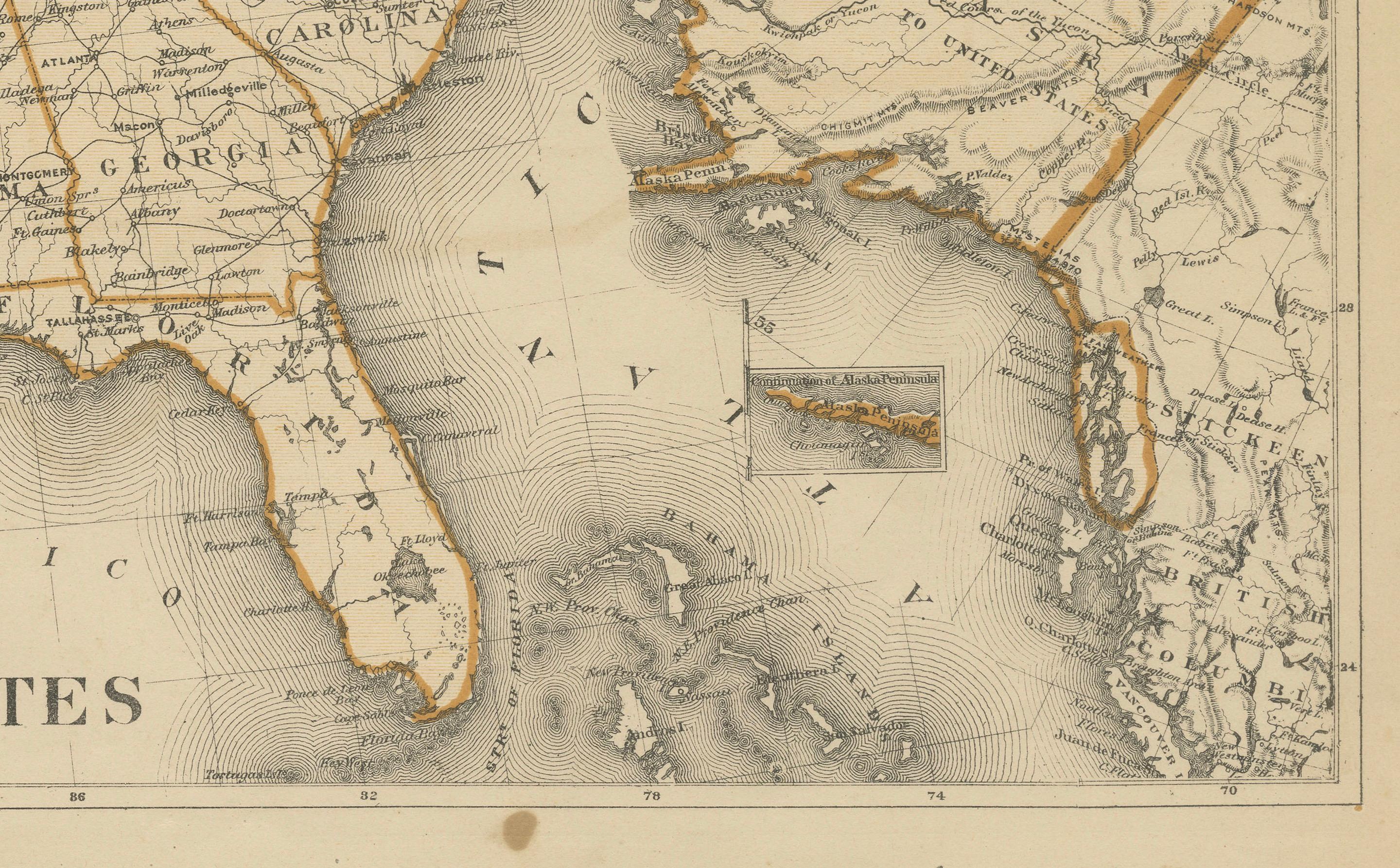
The map is in fair condition, with noticeable yellowing due to age and some foxing, particularly along the lower margin. The central fold is visible, Study the images carefully.
About this sheet
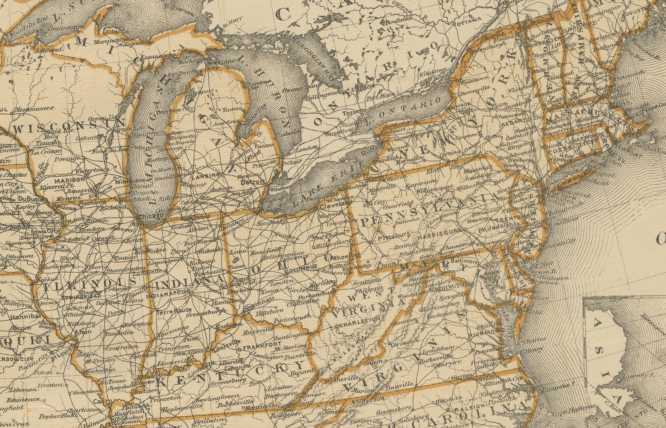
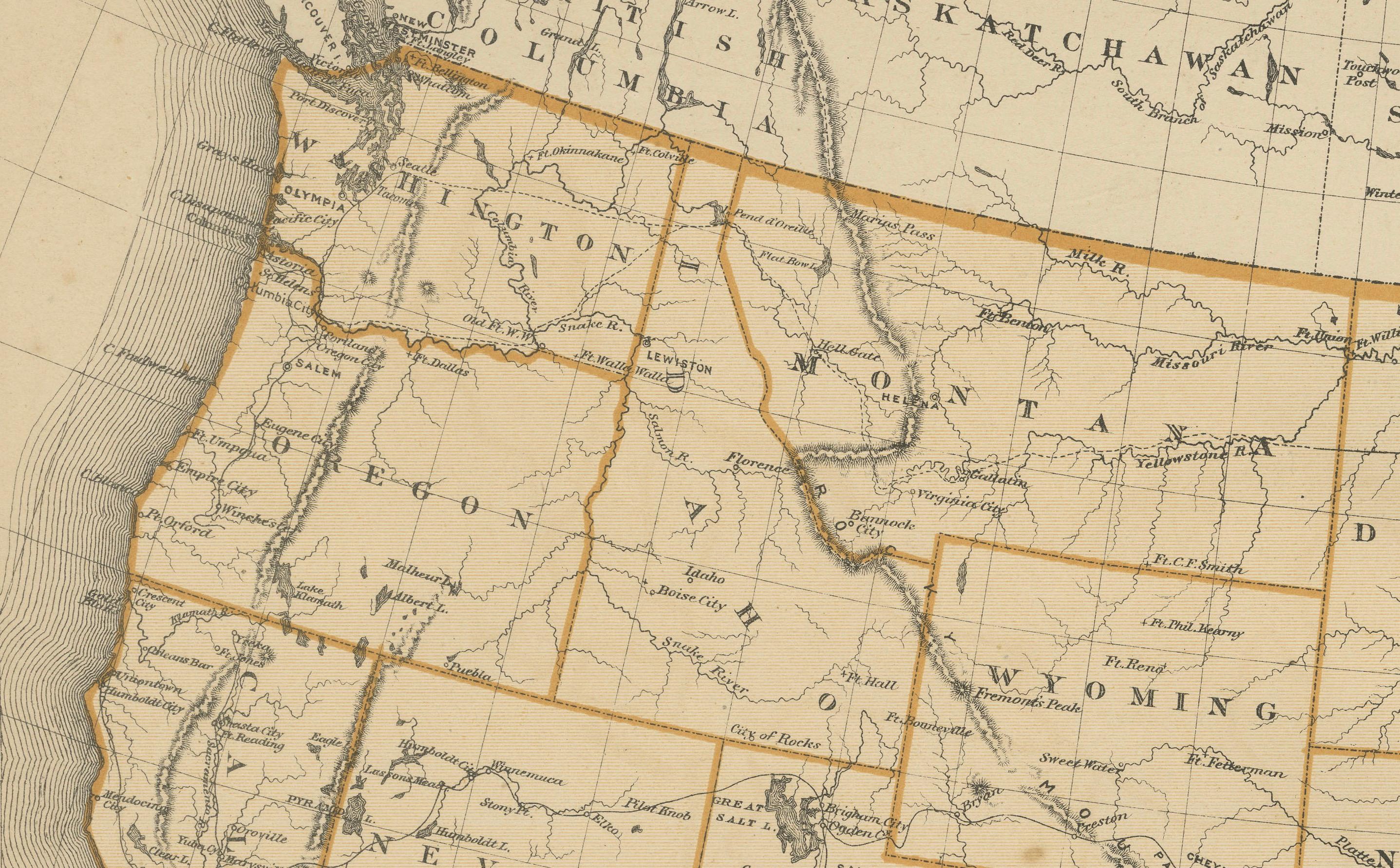
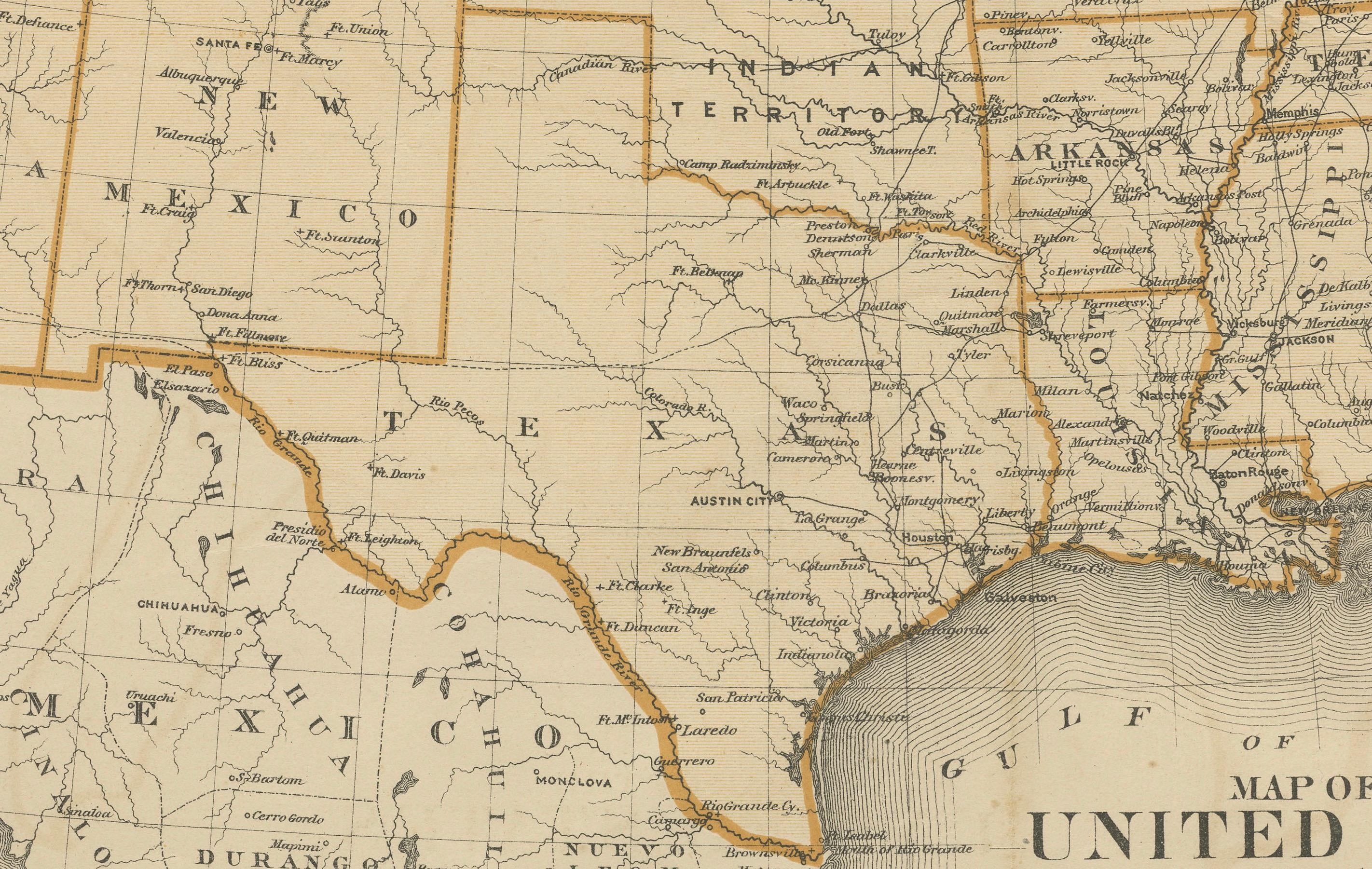
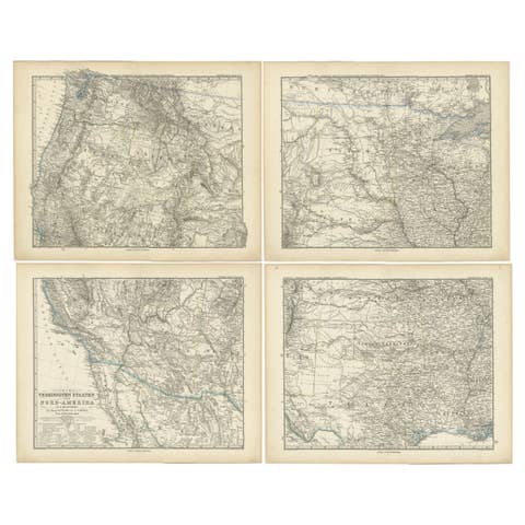
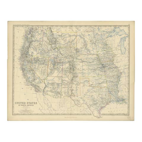
This is an 1874 map titled "Map of the United States," showcasing the country during a period of rapid territorial development. The map illustrates state and territorial boundaries, with clear outlines in orange to delineate different regions. It includes prominent geographical features, major cities, and transportation routes, providing a snapshot of the expanding American landscape in the late 19th century. Notably, some western territories such as Dakota, Indian Territory (present-day Oklahoma), and Arizona are shown in their historical forms before gaining statehood.
This map is particularly interesting for its depiction of the United States as it appeared during westward expansion, with territories yet to be fully incorporated as states. It captures an important phase in American history when settlement and infrastructure were rapidly evolving across the continent.
Condition: The map is in fair condition, with noticeable yellowing due to age and some foxing, particularly along the lower margin. The central fold is visible, suggesting it was part of a larger atlas. There are minor tears along the edges, but they do not interfere with the map's primary details. The orange border coloring has faded slightly but remains distinct enough to differentiate between states and territories. Overall, the map retains its historic charm and legibility, making it a valuable artifact for those interested in American history.