Original Antique Map of Peru with Regions Outlined in Color
€ 260
One of a kind: this is the sheet in the photographs. Ships from Langweer, the Netherlands.
Sheet size
30 × 44.3 cm (11.8 × 17.4 in)
Condition
Fair
Reference
BG-13190-15
Condition
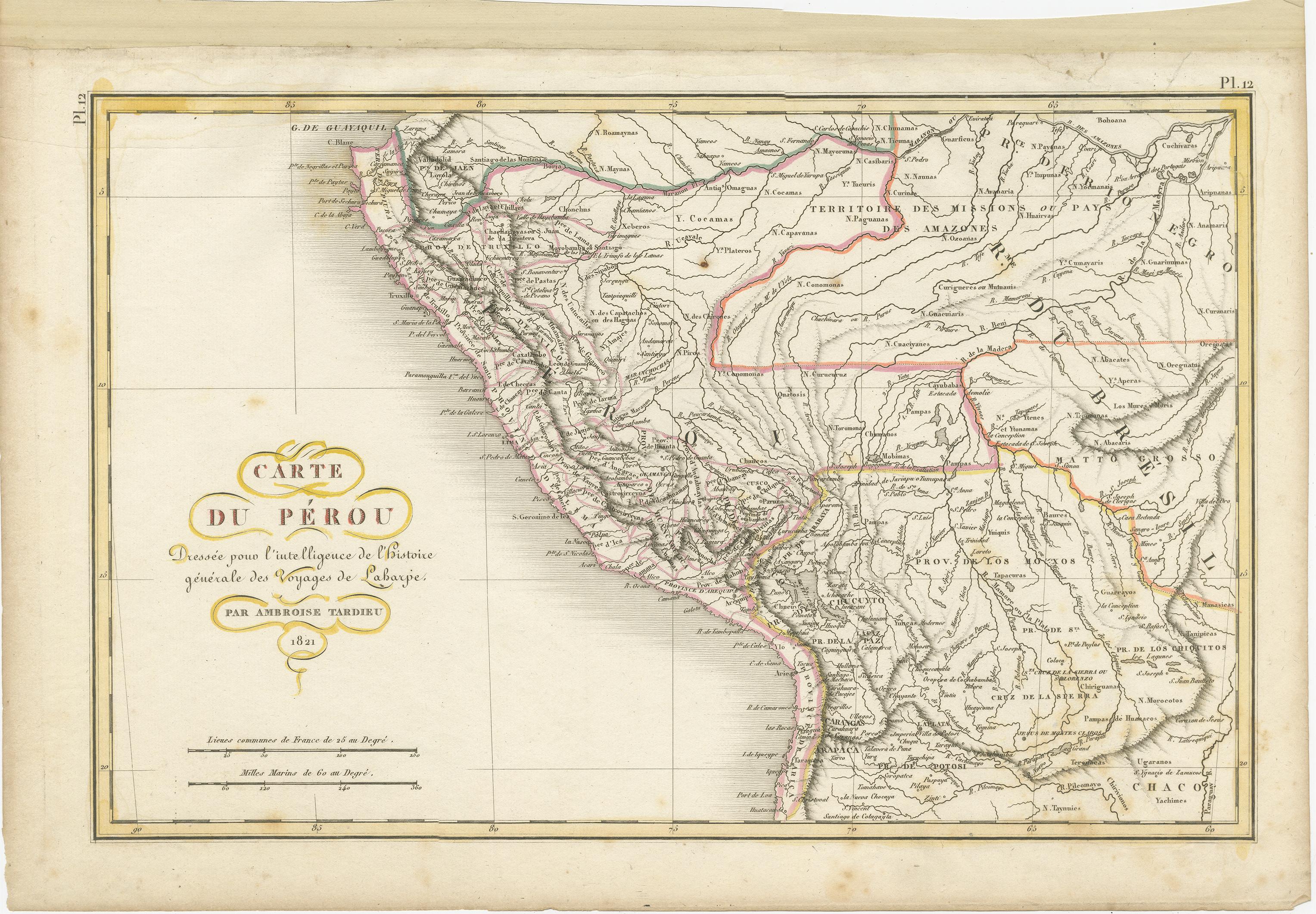
Wear consistent with age and use. General age-related toning. Shows some wear and foxing, blank verso. Please study images carefully.
About this sheet
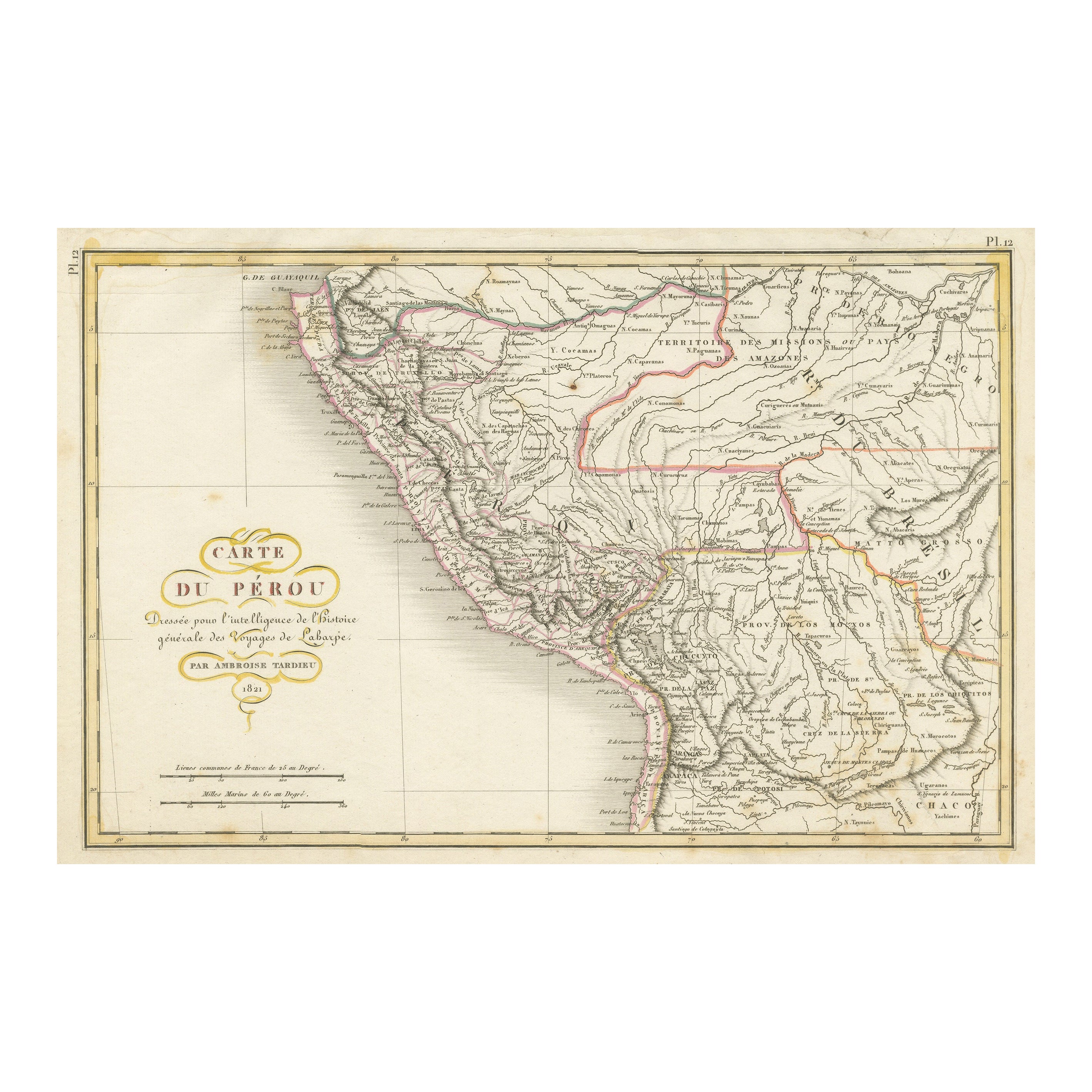
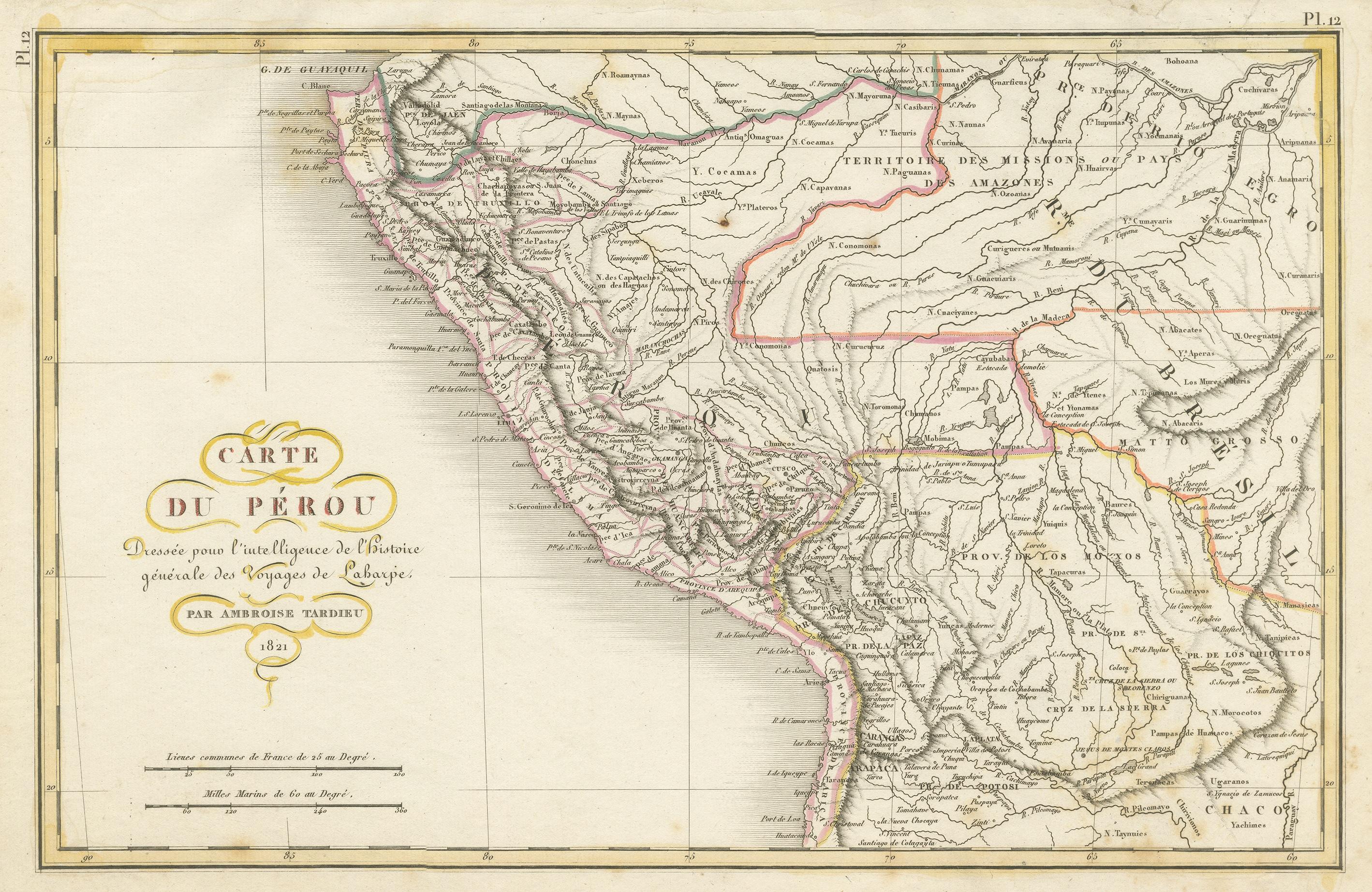
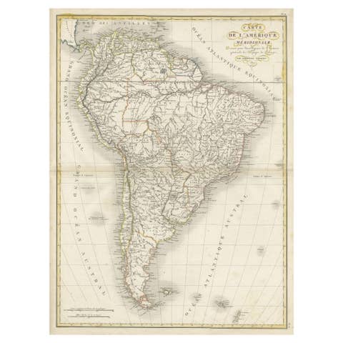
Antique map titled 'Carte du Pérou'. This map of Peru and the surrounding region shows excellent detail of the river systems and mountain ranges in the area.
Published by A. Tardieu, 1821. Ambroise Tardieu (2 March 1788, in Paris – 17 January 1841, in Paris) was an eminent French cartographer and engraver, and is celebrated for his version of John Arrowsmith's 1806 map of the United States. Tardieu came from a family boasting a number of fine engravers, and was trained from an early age by his uncle, Pierre Alexandre Tardieu (1756–1844), a leading French engraver. Showing considerable talent in this field, Ambroise persevered and became a celebrated engraver of portraits. In addition he was appointed as geographical engraver for the French government, for which he received a small stipend. In order to eke out this meagre wage, he began to trade in prints, books and maps. He is remembered for more than 800 portraits engraved through his career, many depicting scientists of the period.