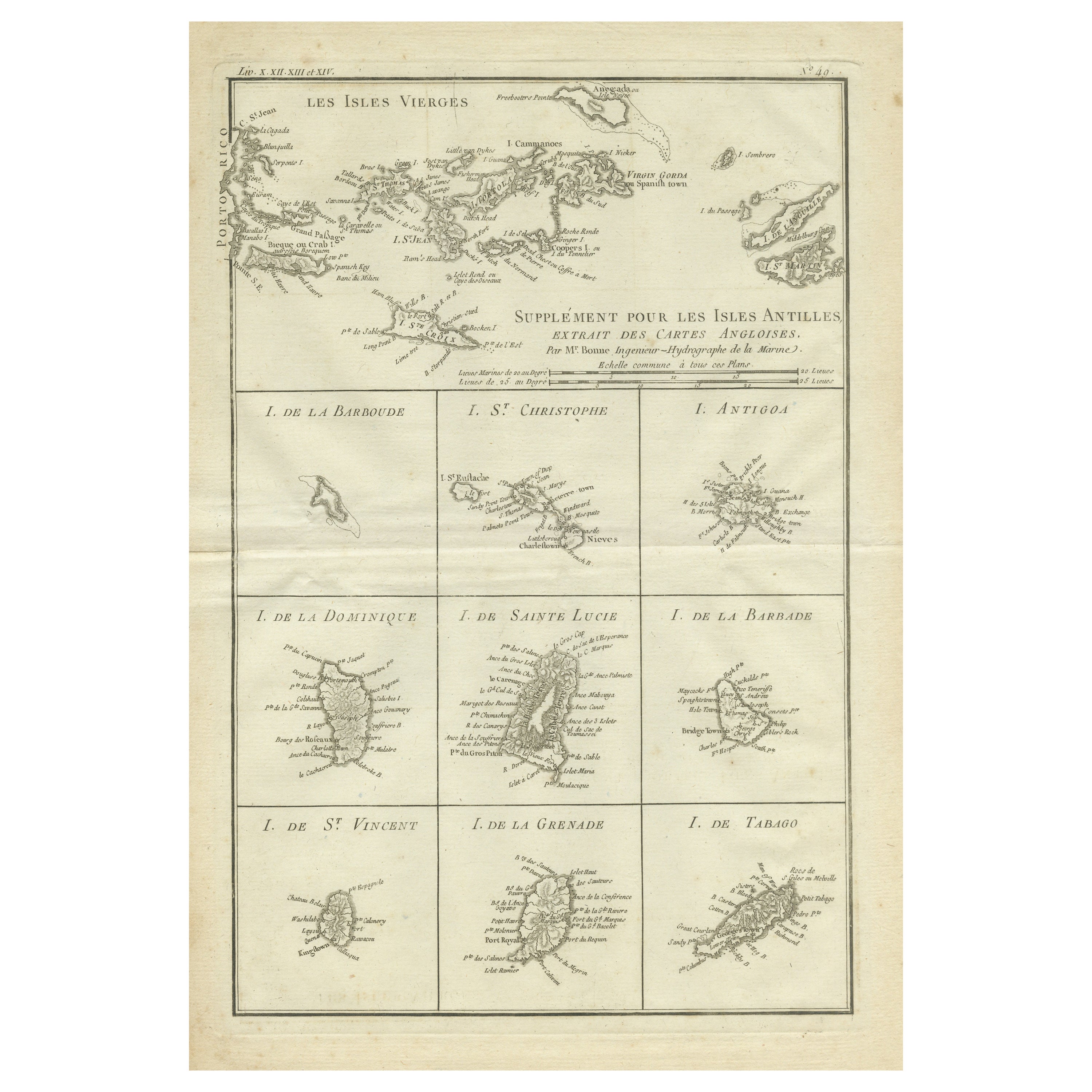
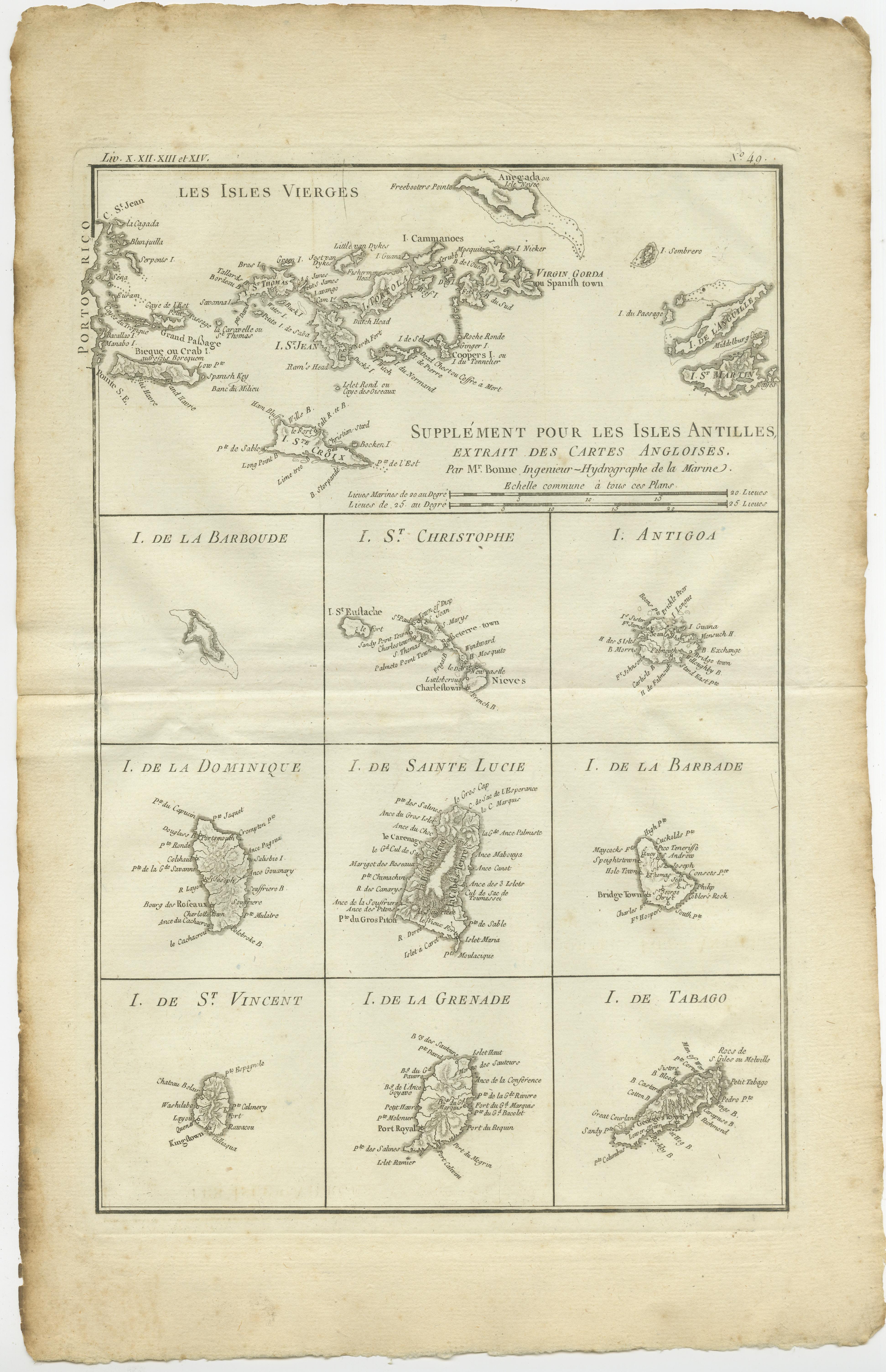
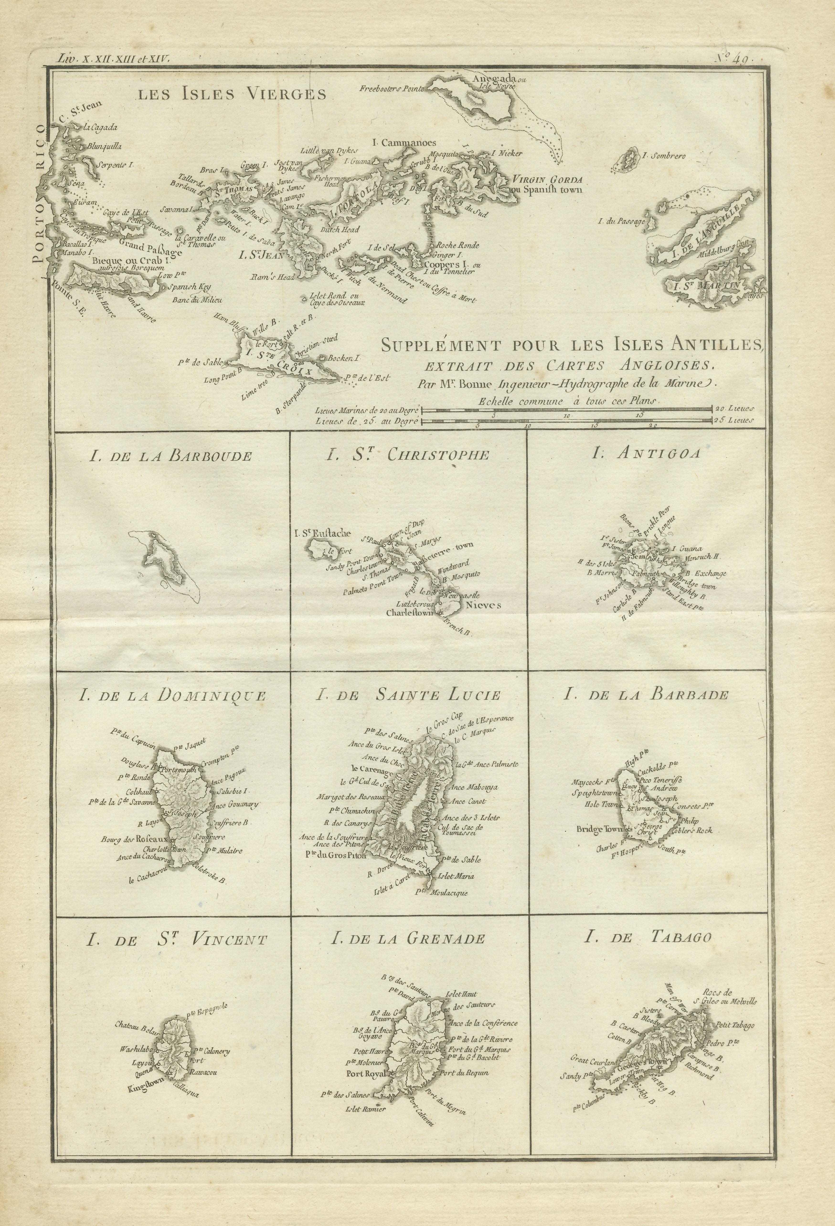
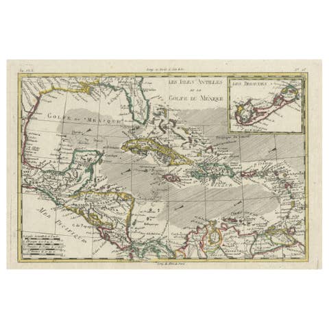
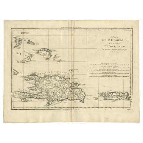
Original Antique Map of the Virgin Islands with Insets of Caribbean Isles, 1787
€ 260
One of a kind: this is the sheet in the photographs. Ships from Langweer, the Netherlands.
Date
1787
Sheet size
41.3 × 26.7 cm (16.3 × 10.5 in)
Condition
Fair
Reference
BG-13528-7
Condition
Age-related toning. Original folding line. Few tiny defects affecting image (near folding line). Blank verso. Please study image carefully.
About this sheet
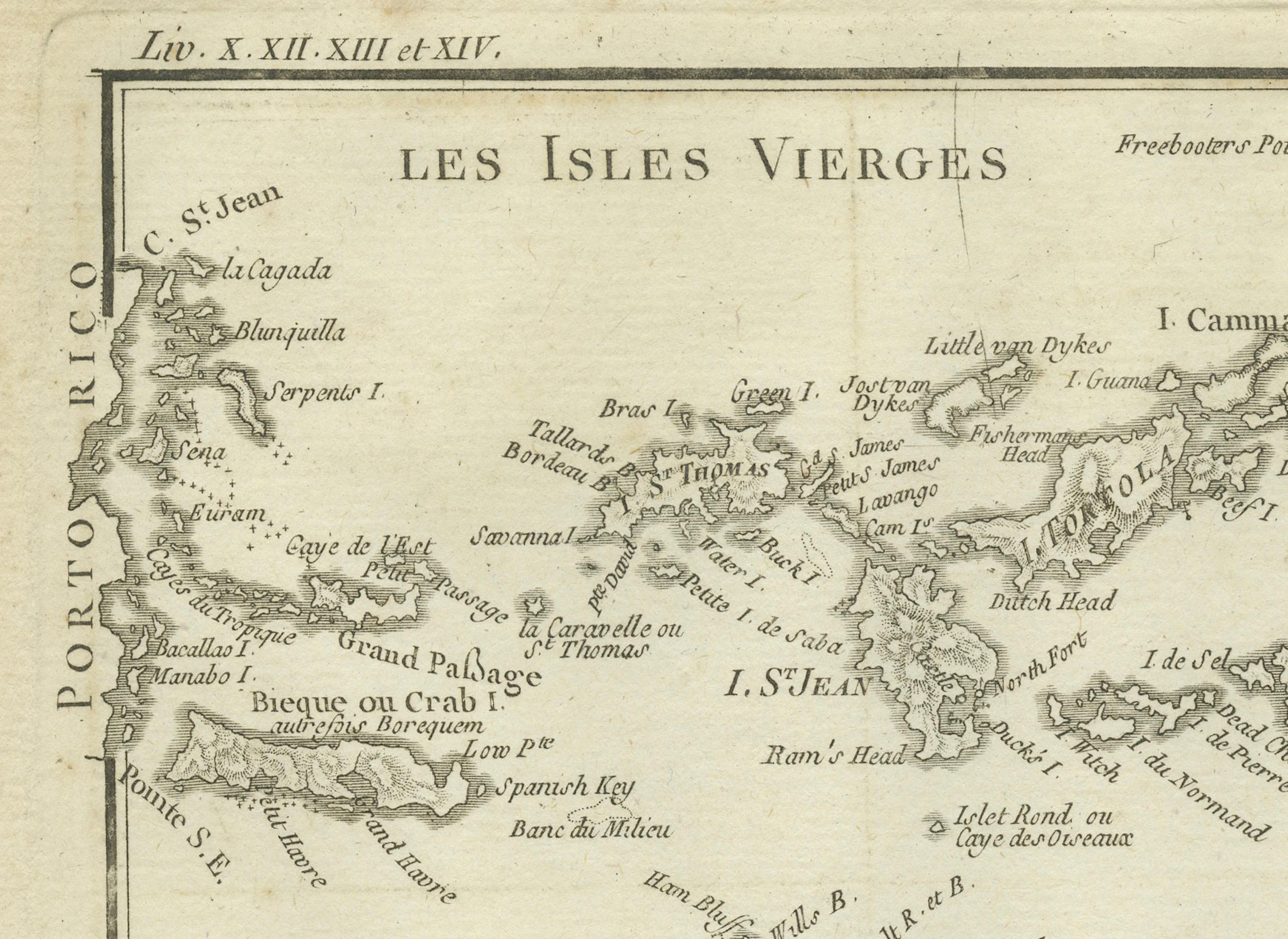
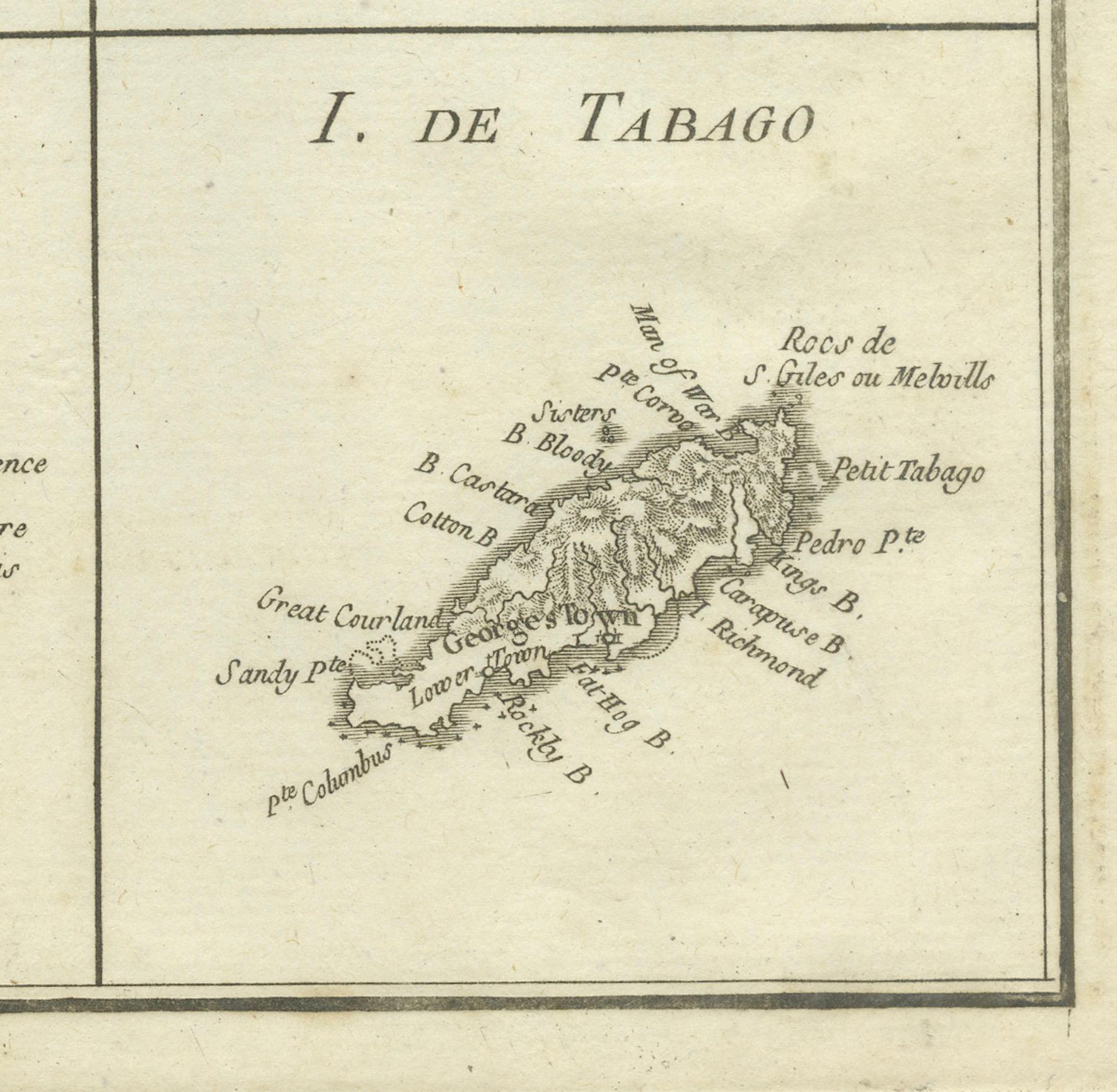
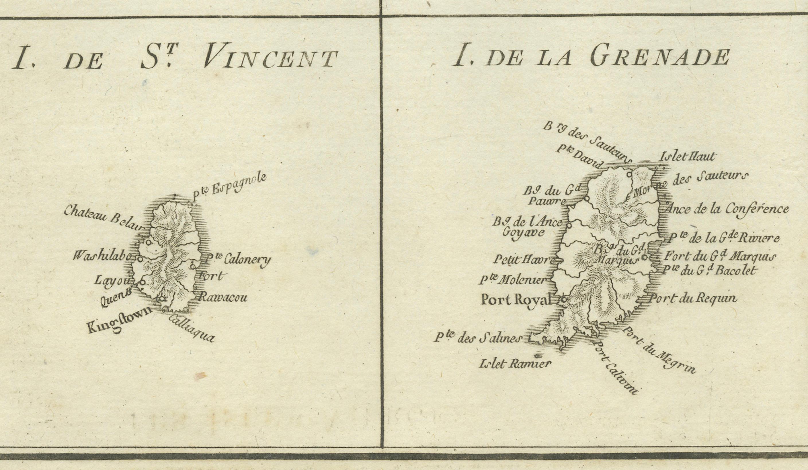
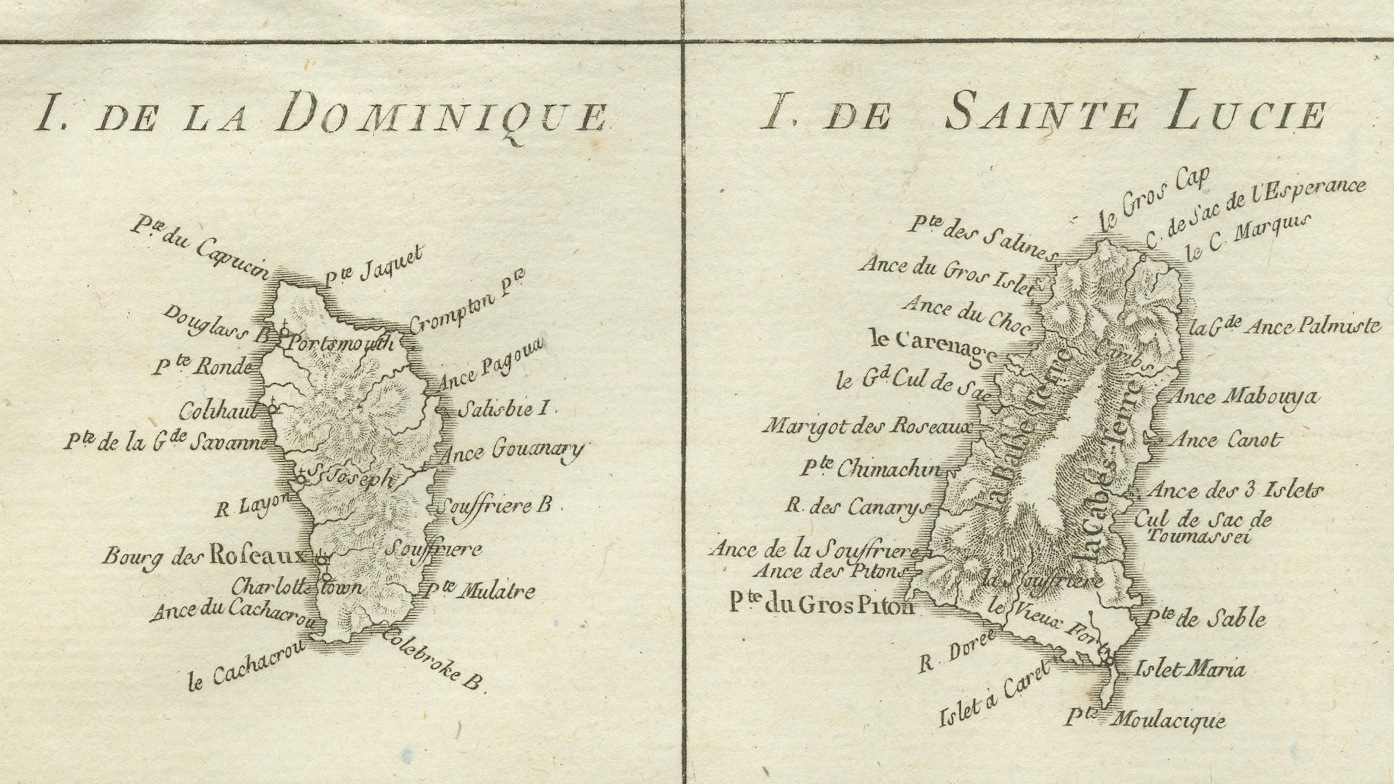
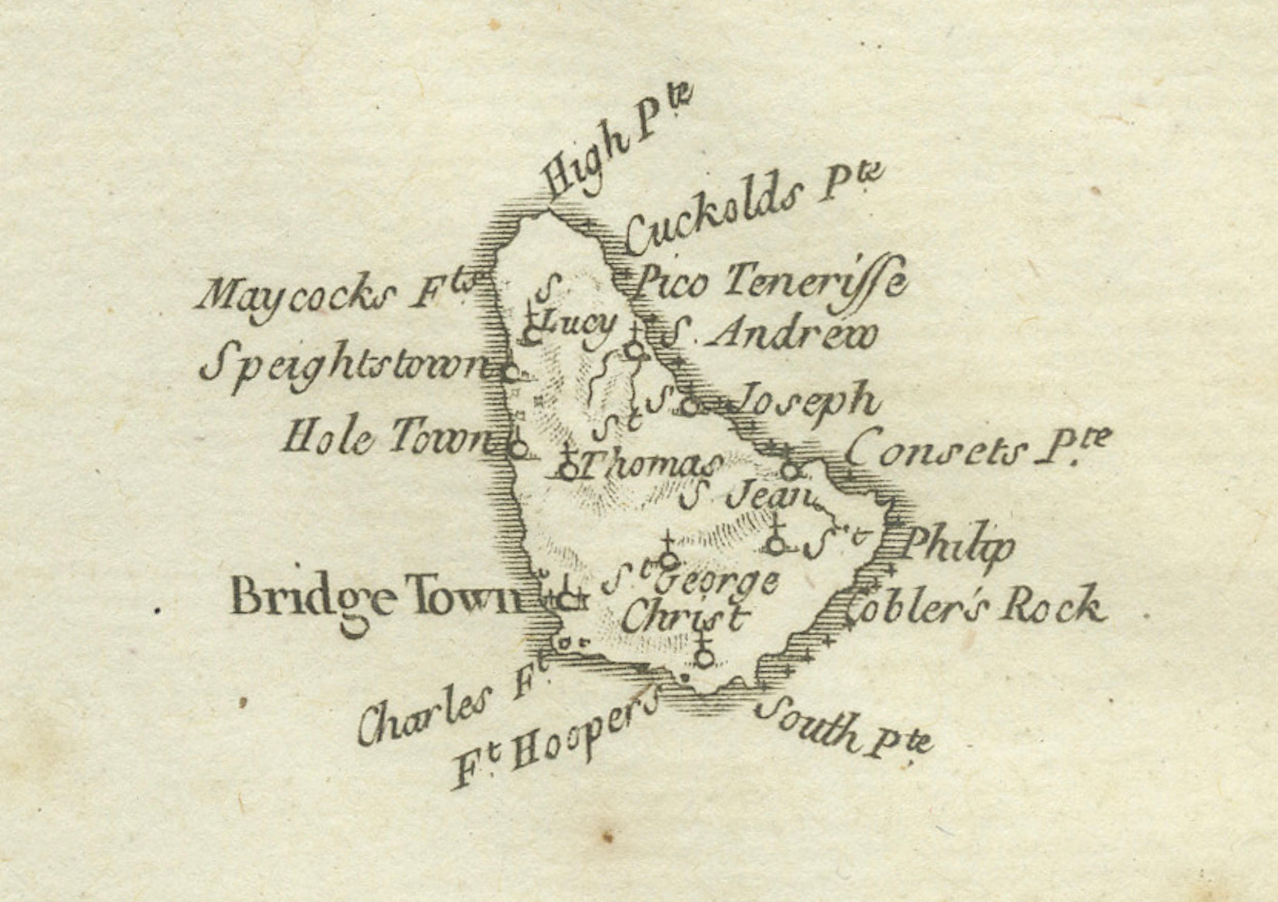
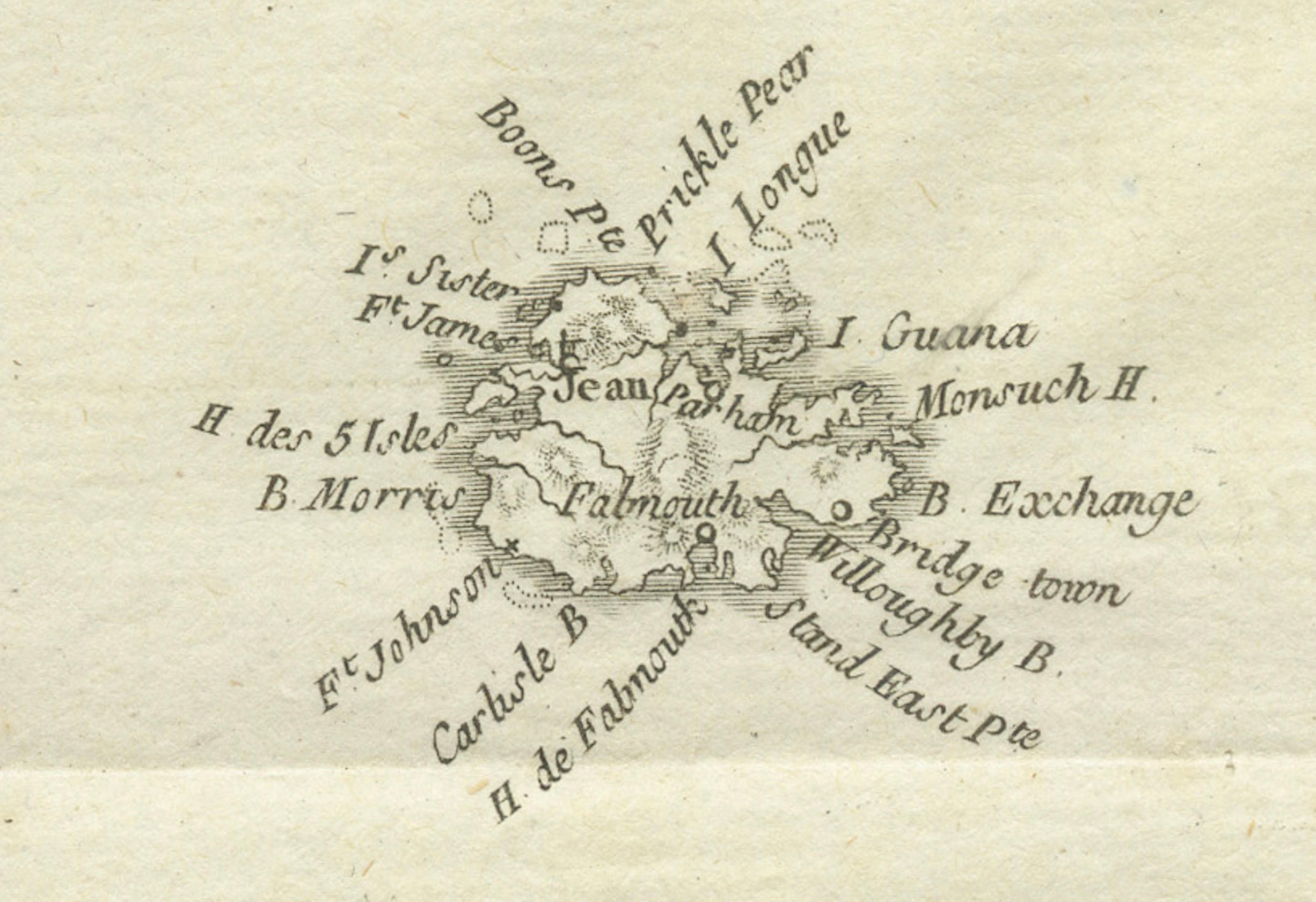
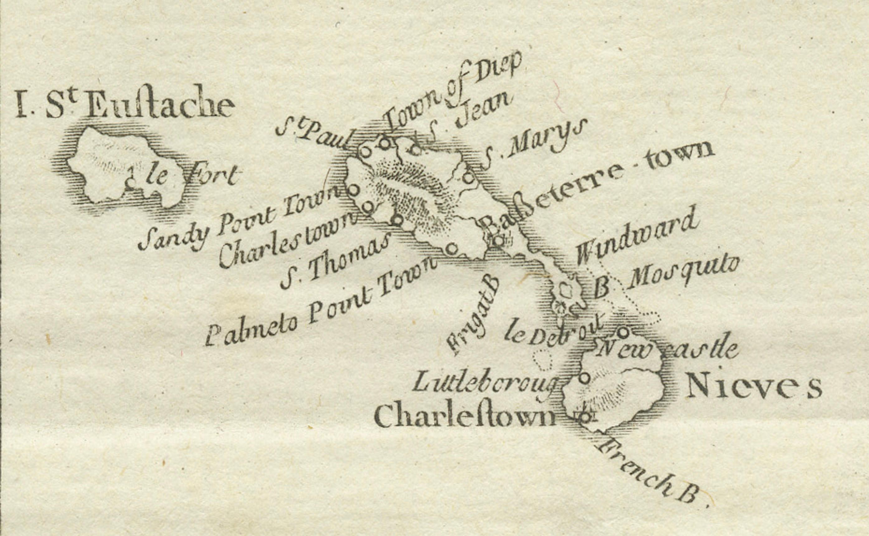
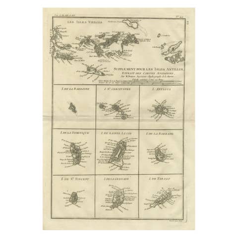
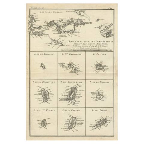
Antique map titled 'Supplément pour les Isles Antilles (..)'. Original old map of the Virgin Islands, with insets of Barbuda, St. Kits, Antigua, Dominica, St. Lucia, Barbados, St. Vincent, Grenada, and Tobago. The main map covers the region from St. Thomas and St. Croix to St. Martin and Anguilla. Originates from 'Histoire Philosopgique et Politique des Establissements et du Commerce des Europeens (..)' by R. Bonne. Published 1787.
Rigobert Bonne (1727-1794) was an influential French cartographer of the late-eighteenth century. Born in the Lorraine region of France, Bonne came to Paris to study and practice cartography. He was a skilled cartographer and hydrographer and succeeded Jacques Nicolas Bellin as Royal Hydrographer at the Depot de la Marine in 1773. He published many charts for the Depot, including some of those for the Atlas Maritime of 1762. In addition to his work at the Depot, he is best known for his work on the maps of the Atlas Encyclopedique (1788) which he did with Nicholas Desmarest.