Black Friday starts Friday 20 November: up to 30% off, plus free FedEx shipping on qualifying orders →
Orders placed from 15 to 30 November ship from 1 December, in time for Christmas. Our shipping partner: InXpress.
Maps & PrintsBartele Gallery · Langweer

maps-prints.com

✦

Black Friday Sale

Friday 20 to Monday 30 November: up to 30% off original antique maps and prints

Follow your favourite collections

Optional: receive a weekly selection of new arrivals from the collections you love.

You can change your choices or unsubscribe at any time.

The terms

  • Up to 30% off selected original antique maps and prints. Every piece is an original, printed in its own time; none is a reproduction.
  • The sale runs from Friday 20 November to Monday 30 November. Sale prices shown here apply from Friday 20 November; until then pieces are sold at their regular price.
  • Free FedEx shipping on qualifying orders placed on our own websites: USA, Canada, UK and Europe over $500 / €450; rest of the world over $750 / €675. Smaller orders pay our normal shipping rate.
  • Orders placed from 15 to 30 November ship from 1 December, in time for Christmas. Our shipping partner is InXpress.
  • Each piece is unique, so the sale is while stock lasts.

Sale prices apply from Friday 20 November. Save the pieces you like with the heart and come back on Friday.
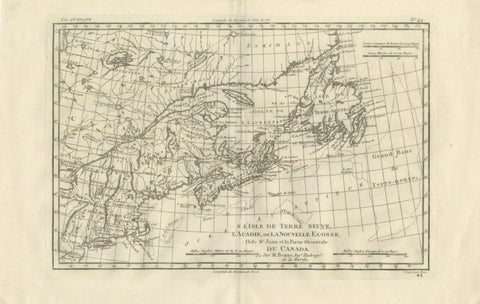
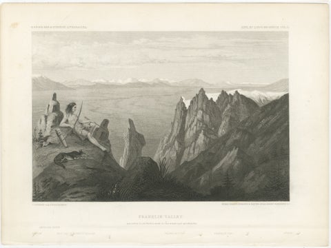
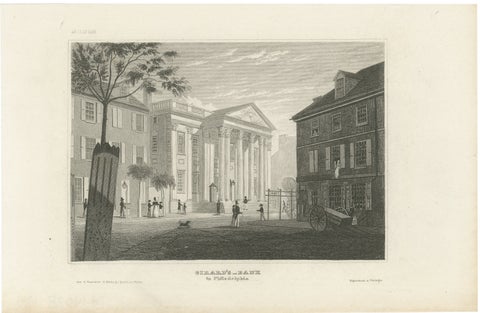
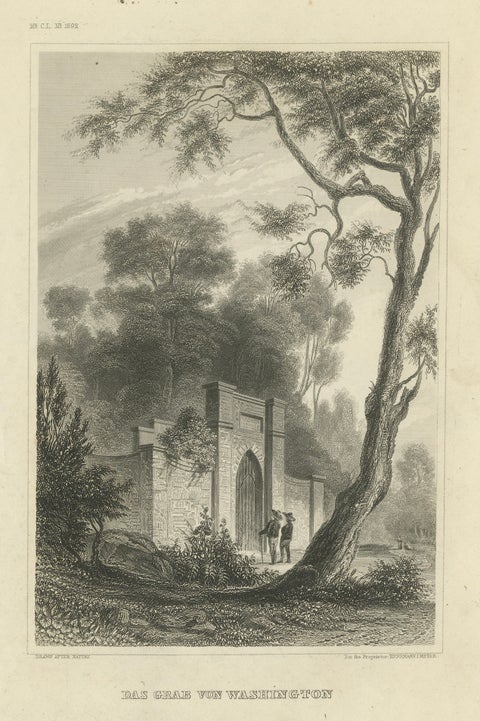
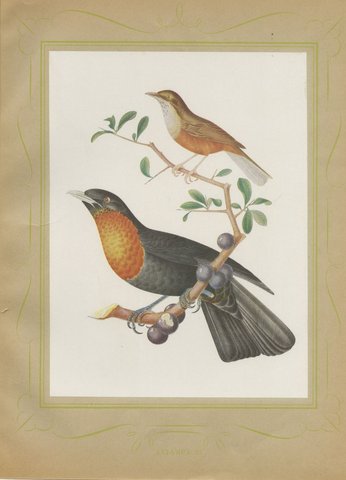
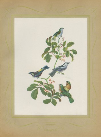
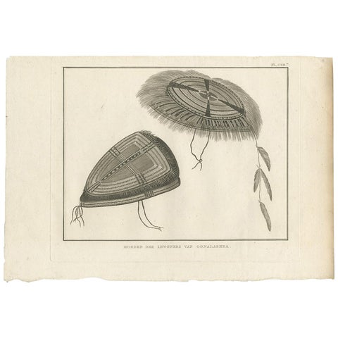
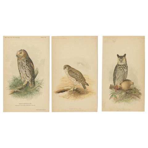
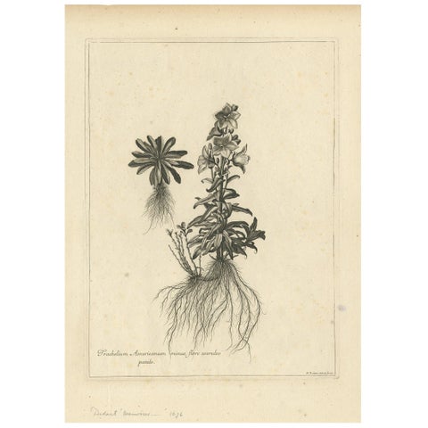
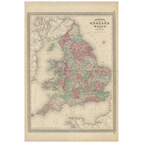
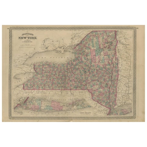
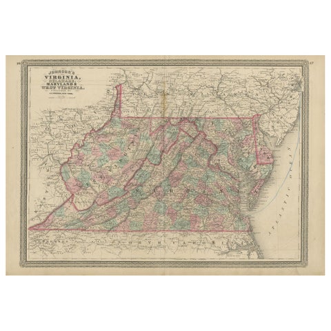
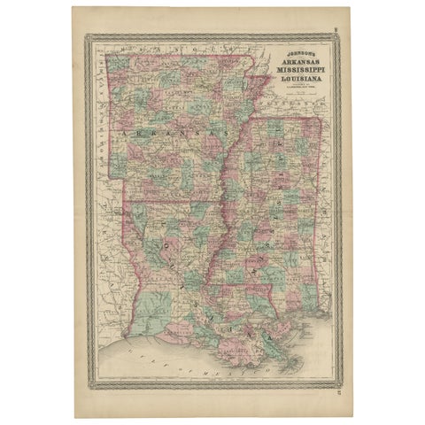
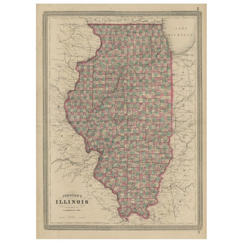
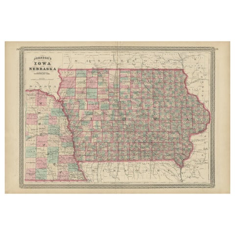
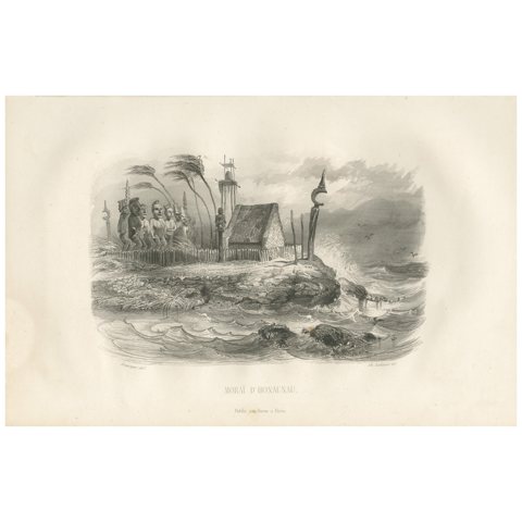
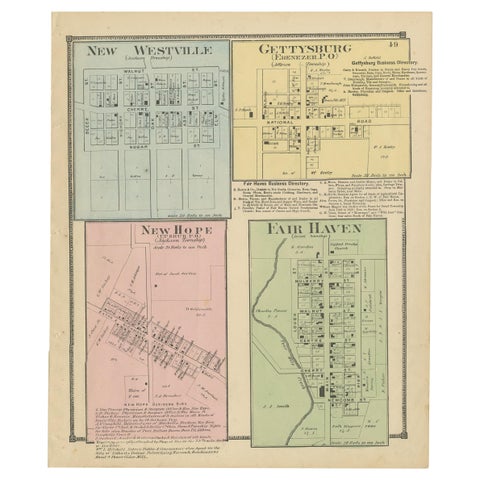
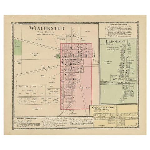
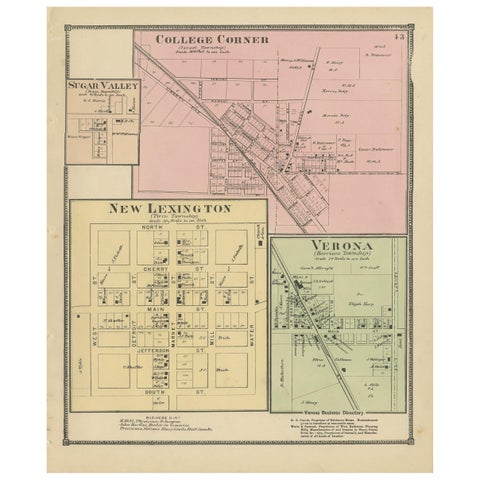
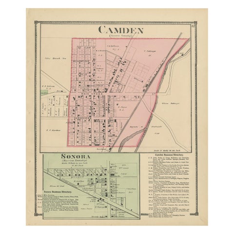
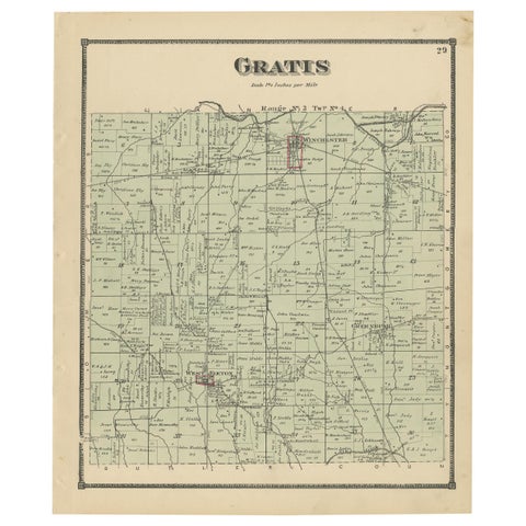
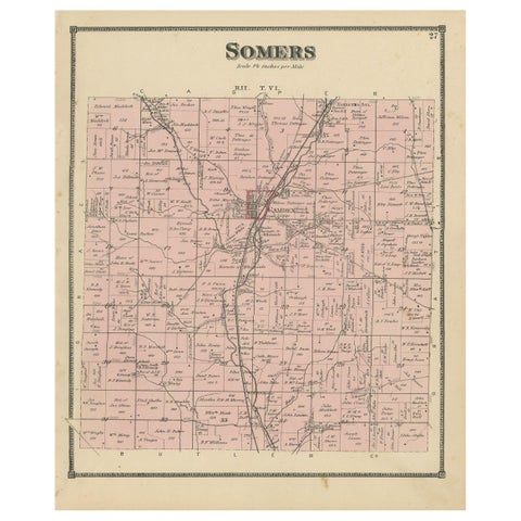
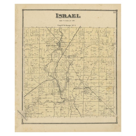
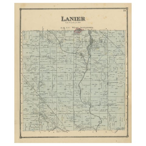
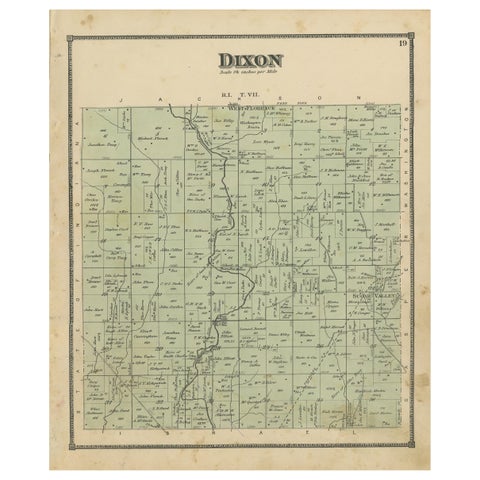
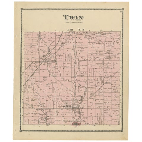
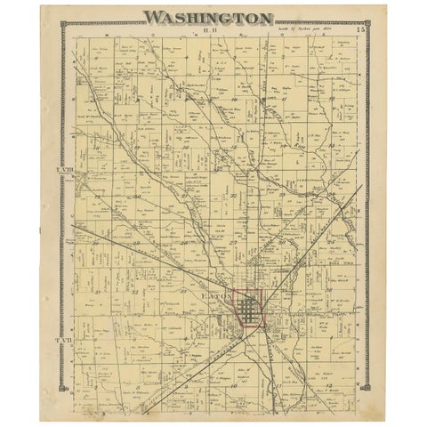
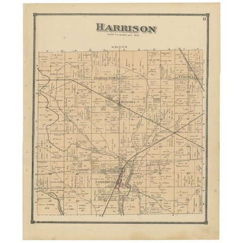
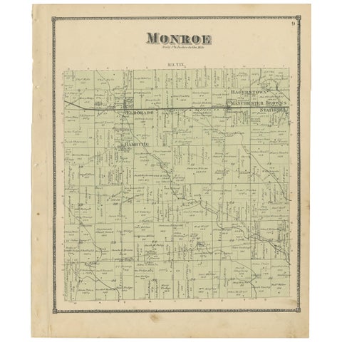
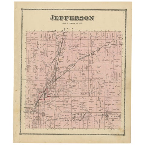
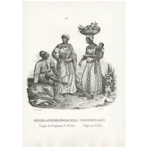
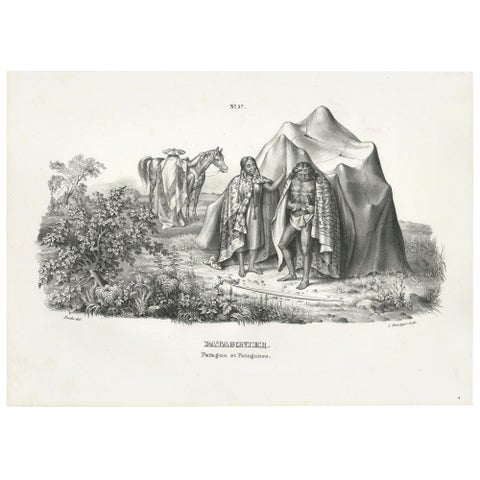
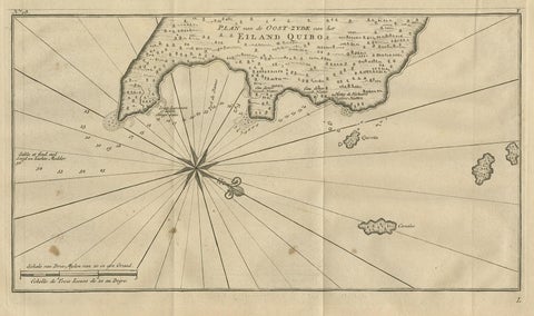
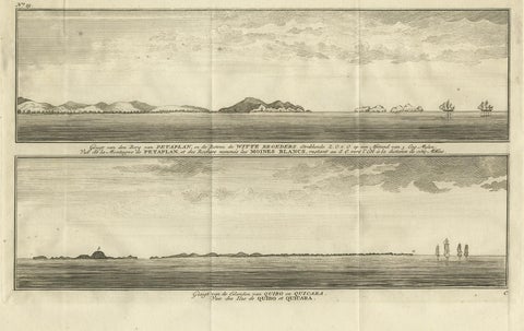
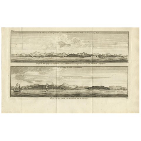
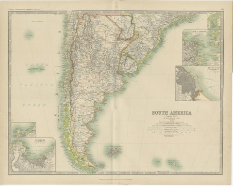
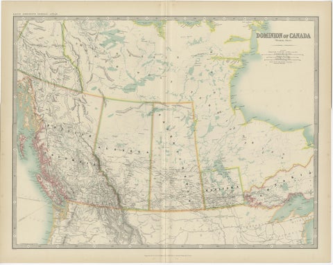
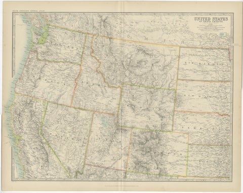
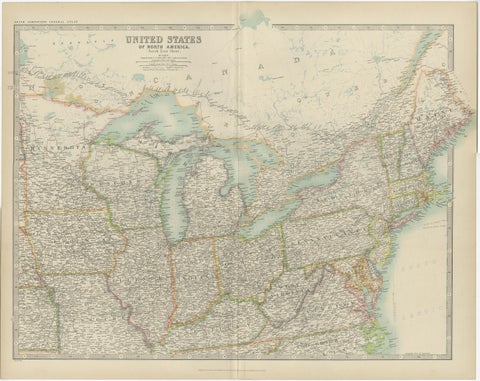
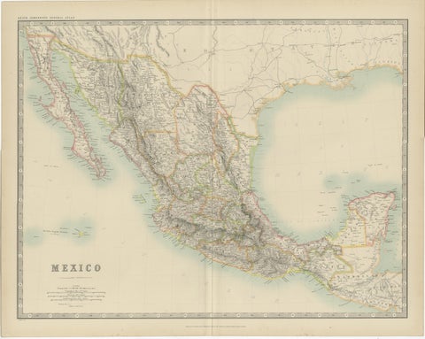
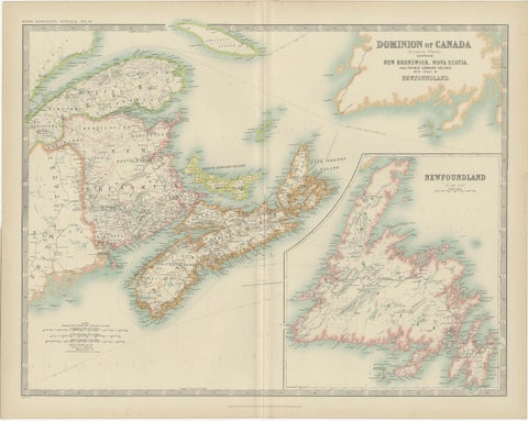
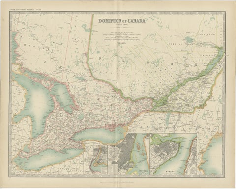
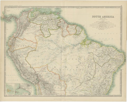
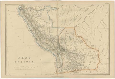
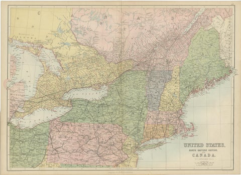
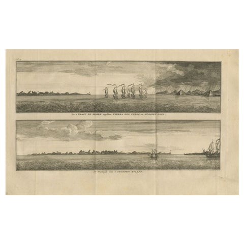
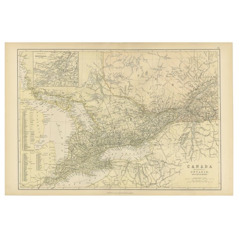
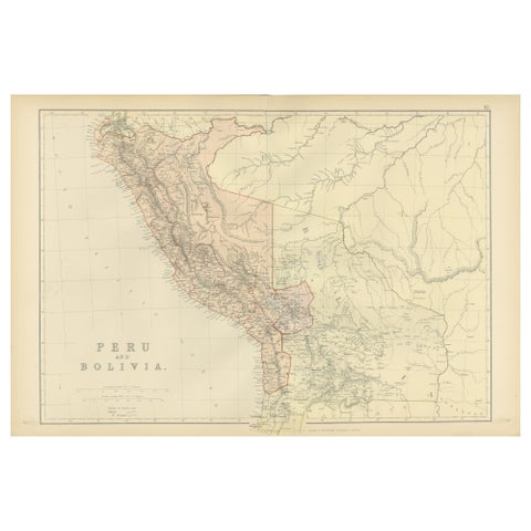
Antique Map of Canada, Newfoundland & Acadia — Gulf of St Lawrence, Bonne c.1780Antique Map of Canada, Newfoundland & Acadia — Gulf of St Lawrence, Bonne c.1780$345 $260 25% offfrom Friday 20 NovemberFranklin Valley, Great Basin Nevada – Beckwith Survey Engraving, c.1855Franklin Valley, Great Basin Nevada – Beckwith Survey Engraving, c.1855$285 $200 30% offfrom Friday 20 NovemberGirard's Bank Philadelphia, Antique American City View Engraving, c.1850Girard's Bank Philadelphia, Antique American City View Engraving, c.1850$285 $200 30% offfrom Friday 20 NovemberWashington's Tomb at Mount Vernon – Antique Americana Engraving, c.1850Washington's Tomb at Mount Vernon – Antique Americana Engraving, c.1850$285 $200 30% offfrom Friday 20 NovemberThrushes, Brazilian Bird Print, Descourtilz, 1944Thrushes, Brazilian Bird Print, Descourtilz, 1944$275 $190 30% offfrom Friday 20 NovemberTanagers, Honeycreepers and Berries, Brazilian Bird Print, Descourtilz, 1944Tanagers, Honeycreepers and Berries, Brazilian Bird Print, Descourtilz, 1944$275 $190 30% offfrom Friday 20 NovemberAntique Print of Alaska Costumes by Cook, 1803Antique Print of Alaska Costumes by Cook, 1803$275 $190 30% offfrom Friday 20 NovemberSet of 3 Antique Owl Prints: Dwarf Screech, Burrowing and Great Horned Owl, 1893Set of 3 Antique Owl Prints: Dwarf Screech, Burrowing and Great Horned Owl, 1893$275 $190 30% offfrom Friday 20 NovemberAntique Botany Print of Campanula Americana by Dodart 'circa 1680'Antique Botany Print of Campanula Americana by Dodart 'circa 1680'$275 $190 30% offfrom Friday 20 NovemberAntique Map of England and Wales by Johnson '1872'Antique Map of England and Wales by Johnson '1872'$275 $190 30% offfrom Friday 20 NovemberAntique Map of New York by Johnson '1872'Antique Map of New York by Johnson '1872'$275 $190 30% offfrom Friday 20 NovemberAntique Map of Virginia, Delaware, Maryland & West Virginia by Johnson, 1872Antique Map of Virginia, Delaware, Maryland & West Virginia by Johnson, 1872$275 $190 30% offfrom Friday 20 NovemberAntique Map of Arkansas, Mississippi and Louisiana by Johnson, 1872Antique Map of Arkansas, Mississippi and Louisiana by Johnson, 1872$275 $190 30% offfrom Friday 20 NovemberAntique Map of Illinois by Johnson, 1872Antique Map of Illinois by Johnson, 1872$275 $190 30% offfrom Friday 20 NovemberAntique Map of Iowa and Nebraska by Johnson, '1872'Antique Map of Iowa and Nebraska by Johnson, '1872'$275 $190 30% offfrom Friday 20 NovemberAntique Print of the Hale o Keawe of Hawaii by D'Urville, 1853Antique Print of the Hale o Keawe of Hawaii by D'Urville, 1853$275 $190 30% offfrom Friday 20 NovemberAntique Map of New Westville, Gettysburg, New Hope & Fair Haven, 1871Antique Map of New Westville, Gettysburg, New Hope & Fair Haven, 1871$275 $190 30% offfrom Friday 20 NovemberAntique Map of Winchester, Eldorado & Orangeburg, 1871Antique Map of Winchester, Eldorado & Orangeburg, 1871$275 $190 30% offfrom Friday 20 NovemberAntique Map of College Corner, Sugar Valley, New Lexington & Verona '1871'Antique Map of College Corner, Sugar Valley, New Lexington & Verona '1871'$275 $190 30% offfrom Friday 20 NovemberAntique Map of Camden and Sonora, 1871Antique Map of Camden and Sonora, 1871$275 $190 30% offfrom Friday 20 NovemberAntique Map of Gratis 'Ohio' by Titus '1871'Antique Map of Gratis 'Ohio' by Titus '1871'$275 $190 30% offfrom Friday 20 NovemberAntique Map of the Somers Township of Ohio by Titus, 1871Antique Map of the Somers Township of Ohio by Titus, 1871$275 $190 30% offfrom Friday 20 NovemberAntique Map of the Israel Township of Ohio by Titus '1871'Antique Map of the Israel Township of Ohio by Titus '1871'$275 $190 30% offfrom Friday 20 NovemberAntique Map of the Lanier Township of Ohio by Titus, 1871Antique Map of the Lanier Township of Ohio by Titus, 1871$275 $190 30% offfrom Friday 20 NovemberAntique Map of the Dixon Township of Ohio by Titus, 1871Antique Map of the Dixon Township of Ohio by Titus, 1871$275 $190 30% offfrom Friday 20 NovemberAntique Map of the Twin Township of Ohio by Titus '1871'Antique Map of the Twin Township of Ohio by Titus '1871'$275 $190 30% offfrom Friday 20 NovemberAntique Map of Washington County 'Ohio' by Titus, 1871Antique Map of Washington County 'Ohio' by Titus, 1871$275 $190 30% offfrom Friday 20 NovemberAntique Map of Harrison County 'Ohio' by Titus, 1871Antique Map of Harrison County 'Ohio' by Titus, 1871$275 $190 30% offfrom Friday 20 NovemberAntique Map of Monroe County 'Ohio' by Titus '1871'Antique Map of Monroe County 'Ohio' by Titus '1871'$275 $190 30% offfrom Friday 20 NovemberAntique Map of Jefferson County 'Ohio' by Titus, 1871Antique Map of Jefferson County 'Ohio' by Titus, 1871$275 $190 30% offfrom Friday 20 NovemberAntique Print of Natives of Bahia and Rio by Honegger (1845)Antique Print of Natives of Bahia and Rio by Honegger (1845)$275 $190 30% offfrom Friday 20 NovemberAntique Print of Natives of Patagonia by Honegger (1845)Antique Print of Natives of Patagonia by Honegger (1845)$275 $190 30% offfrom Friday 20 NovemberAntique Map of Coiba Island by Anson '1749'Antique Map of Coiba Island by Anson '1749'$275 $190 30% offfrom Friday 20 NovemberAntique Print of Petatlan and Coiba Island by Anson, '1749'Antique Print of Petatlan and Coiba Island by Anson, '1749'$275 $190 30% offfrom Friday 20 NovemberAntique Print of Zihuatanejo and the Harbour of Acapulco by Anson '1749'Antique Print of Zihuatanejo and the Harbour of Acapulco by Anson '1749'$275 $190 30% offfrom Friday 20 NovemberAntique Map of South America by Johnston '1909'Antique Map of South America by Johnston '1909'$275 $190 30% offfrom Friday 20 NovemberAntique Map of Canada by Johnston '1909'Antique Map of Canada by Johnston '1909'$275 $190 30% offfrom Friday 20 NovemberAntique Map of the United States 'North West' by Johnston, '1909'Antique Map of the United States 'North West' by Johnston, '1909'$275 $190 30% offfrom Friday 20 NovemberAntique Map of the United States ' North East ' by Johnston '1909'Antique Map of the United States ' North East ' by Johnston '1909'$275 $190 30% offfrom Friday 20 NovemberAntique Map of Mexico by Johnston, '1909'Antique Map of Mexico by Johnston, '1909'$275 $190 30% offfrom Friday 20 NovemberAntique Map of Canada by Johnston '1909'Antique Map of Canada by Johnston '1909'$275 $190 30% offfrom Friday 20 NovemberAntique Map of Canada by Johnston '1909'Antique Map of Canada by Johnston '1909'$275 $190 30% offfrom Friday 20 NovemberExploring South America's North: Antique Map from the Royal Atlas of 1909Exploring South America's North: Antique Map from the Royal Atlas of 1909$275 $190 30% offfrom Friday 20 NovemberAntique Map of Peru and Bolivia by W. G. Blackie, 1859Antique Map of Peru and Bolivia by W. G. Blackie, 1859$275 $190 30% offfrom Friday 20 NovemberAntique Map of The United States and Canada by A & C. Black, 1870Antique Map of The United States and Canada by A & C. Black, 1870$275 $190 30% offfrom Friday 20 NovemberAntique Print with Views of Staten Island and Tierra Del Fuego, 1749Antique Print with Views of Staten Island and Tierra Del Fuego, 1749$275 $190 30% offfrom Friday 20 NovemberAntique Map of Canada, The Province of Ontario and Part of Quebec, 1882Antique Map of Canada, The Province of Ontario and Part of Quebec, 1882$275 $190 30% offfrom Friday 20 NovemberAntique 1882 Antique Map of Peru and Bolivia: Andes Mountains and Amazon RiversAntique 1882 Antique Map of Peru and Bolivia: Andes Mountains and Amazon Rivers$275 $190 30% offfrom Friday 20 November

Sharing the sale? Download the Black Friday banners.

Your favorites

Saved in this browser. Email the list to yourself to keep it on any device.

We use your email to send this list and, only if you tick the box and confirm, for occasional new arrivals. Every email has an unsubscribe link. Bartele Gallery, the Netherlands.

Powered by SiteKeys