Antique Maps of Eastern Europe
102 original sheets

Antique Map of Eastern Europe, Incl Montenegro & Serbia & a Budapest Map, 1890
1890 · € 120
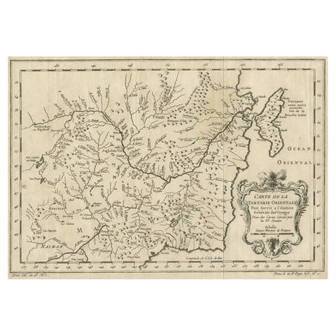
Original Antique Map of Tartary 'Northern China & Far Eastern Russia', 1757
1757 · € 290
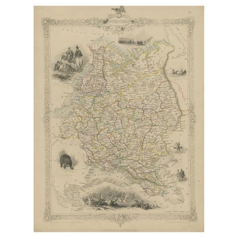
Map of Russia with Vignettes of the Neoskoi Prospect, St. Petersburg, ca.1851
1851 · € 299
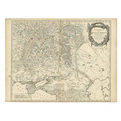
Detailed Antique Map of the Southern Part of European Russia and Ukraine, 1752
1752 · € 760
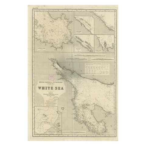
Uncommon, Large Map of the British Islands to Petshora Bay, 1891
1891 · € 1 160
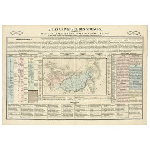
Original French Antique Map of the Russian Empire, 1837
1837 · € 290

Antique Map of the Extension of the Russian Empire in the XIXth Century, 1806
1806 · € 560
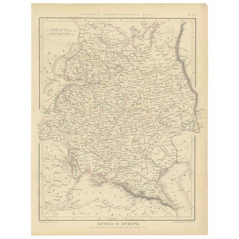
Old Original Map of Russia in Europe, 1849
1849 · € 180
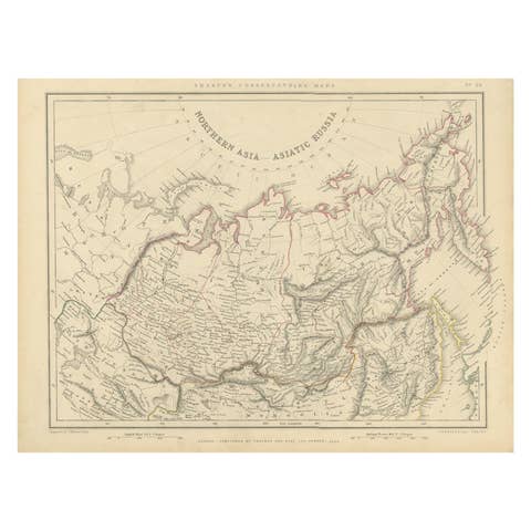
Northern Asia, Asiatic Russia, Old Map of Russia in Asia, 1849
1849 · € 180
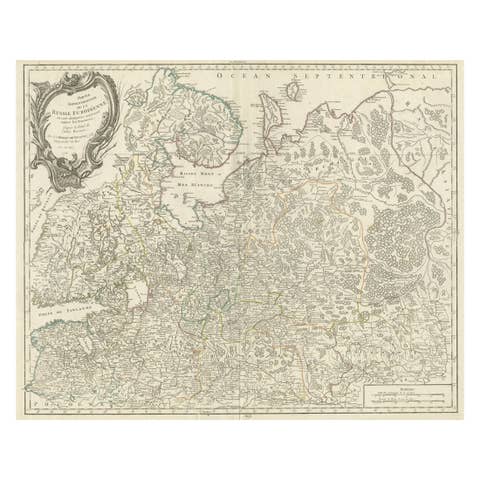
Original Antique Map of the Northwestern Part of Russia in Europe, 1753
1753 · € 590
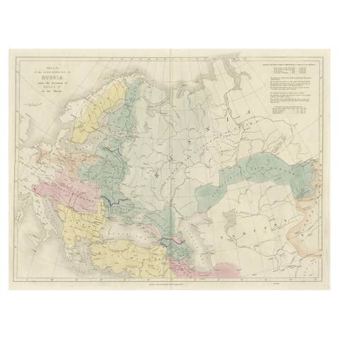
Historical Antique Map of Russia, Examining the History of Russia, 1838
1838 · € 340
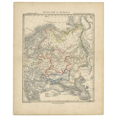
Antique Map of Russia in Europe by Petri, c.1873
1873 · € 97
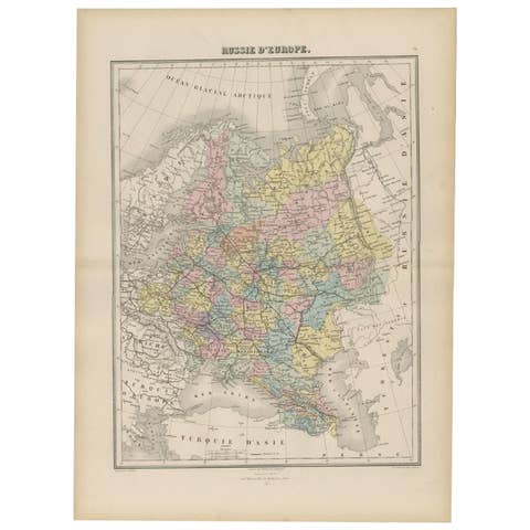
Antique Map of Russia in Europe by Migeon, 1880
1880 · € 99
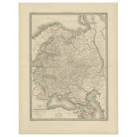
Antique 1842 Map of Russia in Europe by Pierre M. Lapie
1842 · € 330
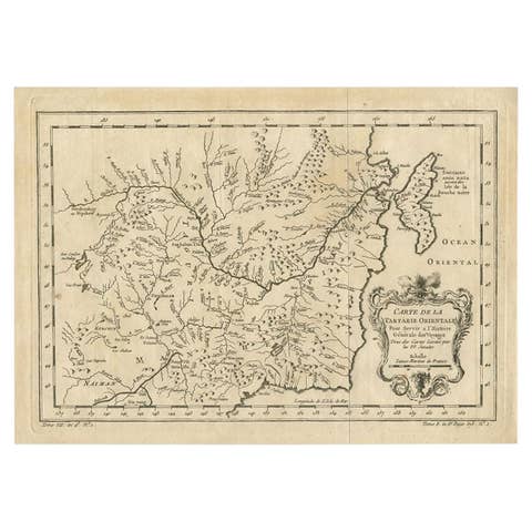
Antique Map of Northern China and Eastern Russia by Bellin, 1757
1757 · € 180
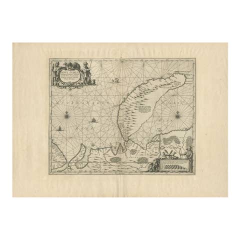
Antique Map of Nova Zembla by Janssonius, c.1650
1650 · € 397
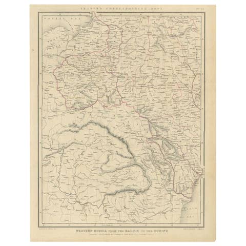
Antique Map of Russia from the Baltic to the Black Sea by Sharpe, 1849
1849 · € 95
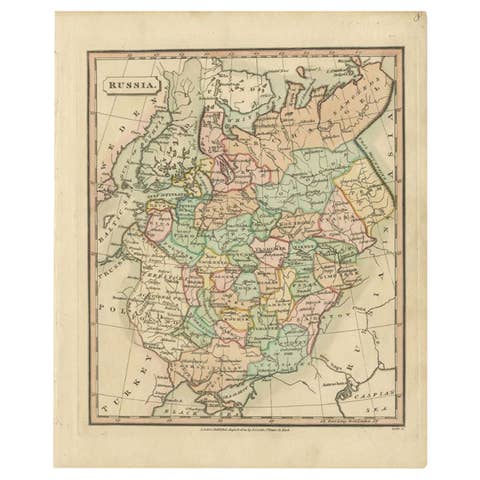
Antique Map of Russia by Tyrer, 1821
1821 · € 115
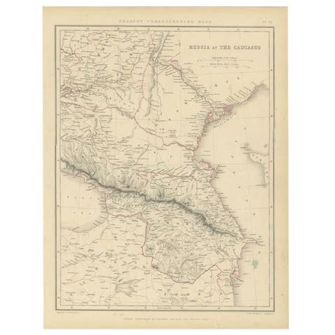
Antique Map of Russia and the Caucasus by Sharpe, 1849
1849 · € 95
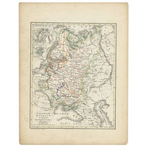
Antique Map of Russia and Poland by Petri, 1852
1852 · € 120
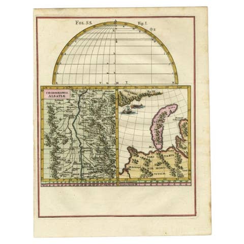
Antique Map of the Alsace region and Nova Zembla by Scherer, c.1700
1700 · € 150
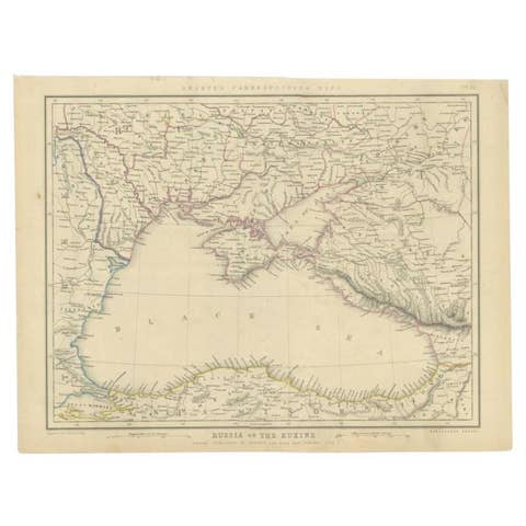
Antique Map of the Black Sea and Surroundings by Sharpe, 1849
1849 · € 95
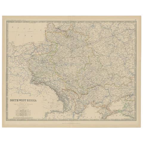
Antique Map of Southern Russia by Johnston, 1882
1882 · € 120
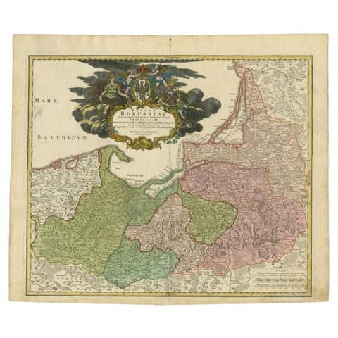
Antique Map of the Baltic Region by Homann Heirs, c.1730
1730 · € 470
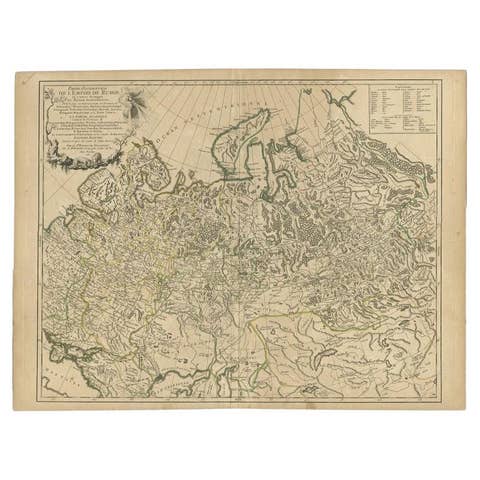
Antique Map of the Russian Empire in Europe by Vaugondy, 1750
1750 · € 340
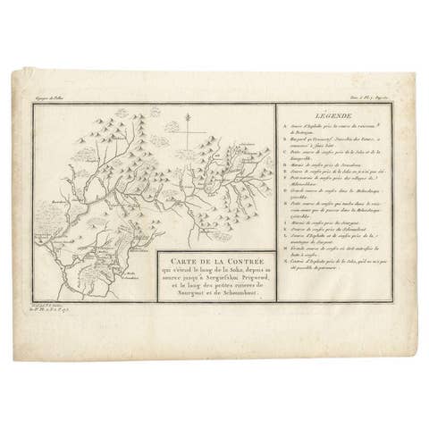
Antique Map of the Region of the Sok River in Russia, 1794
1794 · € 280
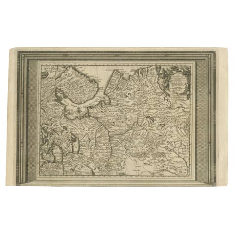
Antique Map of European Russia with Picture Frame Border
€ 380
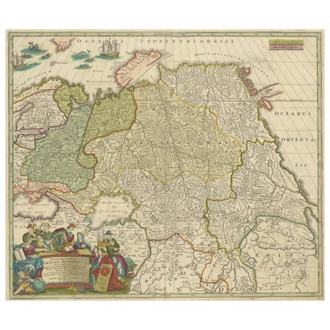
Antique Map of Russia and Central Asia, showing the Northeast Passage
€ 890

Original Antique Map of Russia in Europe, 1882
1882 · € 190

1792 Hand-Colored Plan of St. Petersburg and Moscow in Russia
1792 · € 390
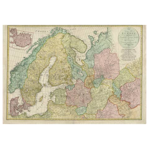
Historical Map of Northern Europe and Russia - Engraved for I. Harrison, 1788
1788 · € 840

Antique Map of European Russia, 1903, with Colorful Provincial Boundaries
1903 · € 430

Philips Map of the Seat of War 1854 – Black Sea, Turkey & Russia Antique Map
1854 · € 620
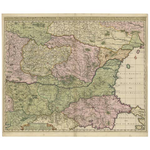
Antique Map of Ukraine, Bulgaria, Romania, Servia by N. Visscher, circa 1700
1700 · € 647
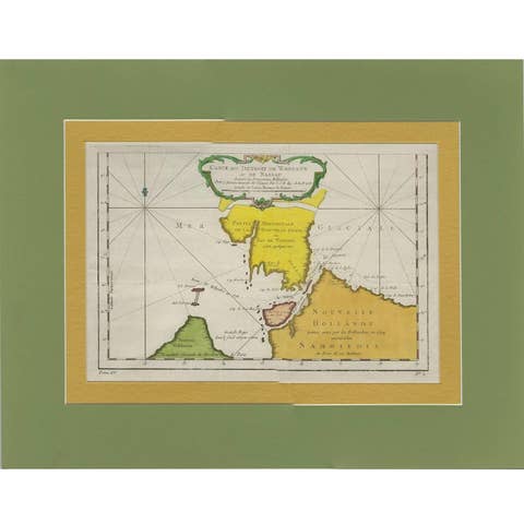
Antique Map of the Strait Between Nova Zembla and the Mainland of Russia
€ 252
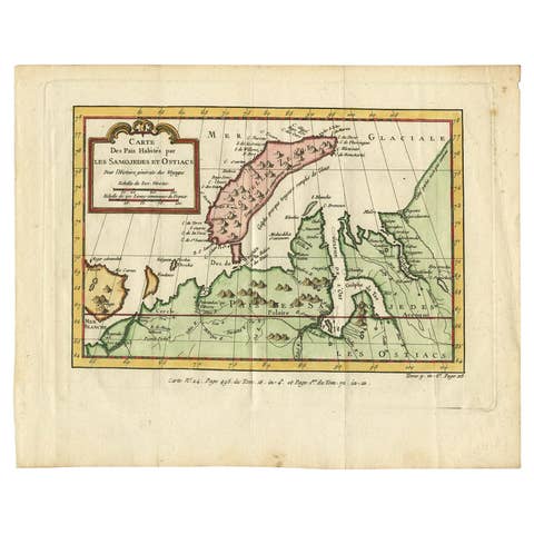
Antique Map of Novaya Zemlya and the Russian Mainland by Bellin, c.1760
1760 · € 250
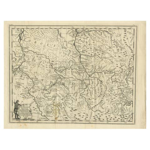
Antique Map of Part of Russia, c.1740
1740 · € 137
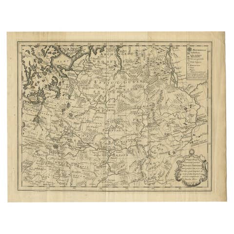
Antique Map of Part of Russia by Spyk, c.1740
1740 · € 153
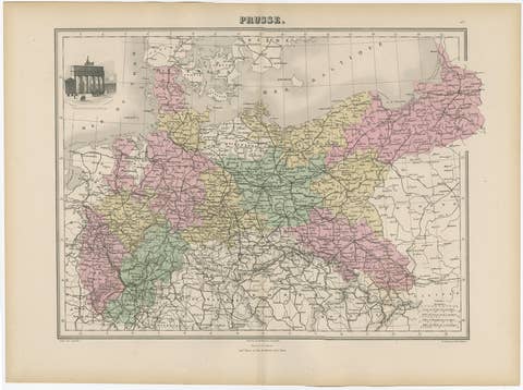
Antique Map of the Kingdom of Prussia, 1880
1880 · € 180

Antique Map of the Vitim and Lena Rivers, Russia, 1768
1768 · € 126
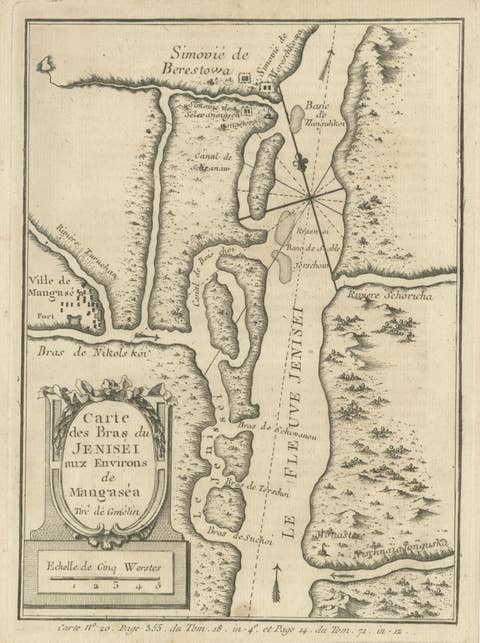
Antique Map of the Yenisei River in Siberia, Russia, 1768
1768 · € 280
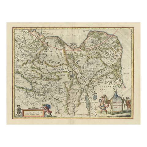
Old Genuine Antique Map of Tartary in the Russian Far East
€ 1 400
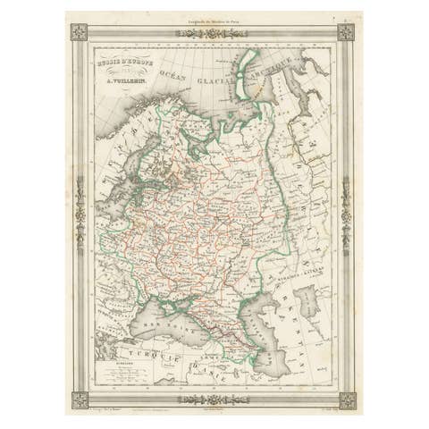
Antique Map of Russia in Europe, with Frame Style Border
€ 130
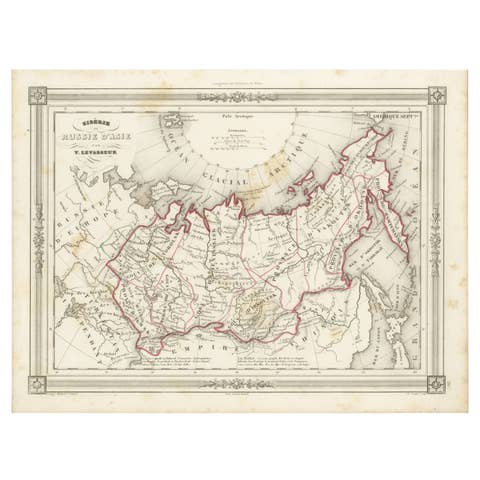
Antique Map of Russia in Asia and Siberia, with Frame Style Border
€ 150

Antique Map of Northern Asia, with Russia, Korea and Northern Japan
€ 990

Imperial Frontiers: A 19th Century Map of Southern Russia and the Caucasus, 1882
1882 · € 270

Map of Northern European Russia: Early 19th Century - 1802 Tardieu Atlas
1802 · € 480

Antique Map of the Black Sea and Crimea by Pierre Antoine Tardieu (1784-1869)
1784 · € 490