Maps & PrintsBartele Gallery · Langweer
Home / Antique Maps / Europe / Eastern Europe

Antique Maps of Eastern Europe

9 original sheets
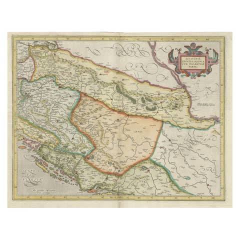
Old Eastern Balkans Map, with Dalmatia, Croatia, Slavonia, Bosnia, Serbia, 1633
1633 · € 950
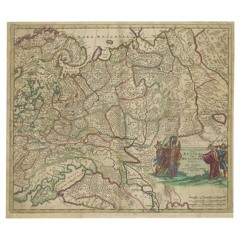
Antique Hand-Colored Map of Western Russia and Ukraine, c.1680
1680 · € 670
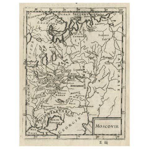
Antique Map of Modern Day Ukraine and Russia Titled Moscovie 'Moscow', Ca.1683
1683 · € 460
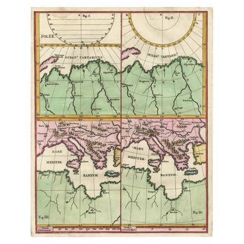
Curious Map of the Laptev Sea 'Arctic Ocean' and the Mediterranean, ca.1700
1700 · € 470
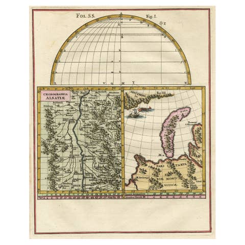
Remarkable Map of the Alsace Region and Nova Zembla, Russia, ca.1700
1700 · € 490
Charming Decorative Miniature Map of Russia, from an Old Pocket Atlas, 1685
1685 · € 380
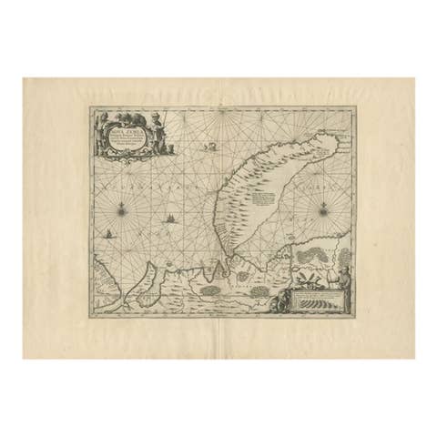
Antique Map of Nova Zembla by Janssonius, c.1650
1650 · € 397
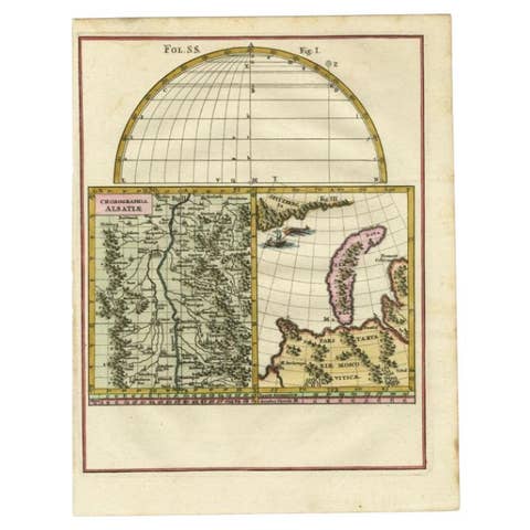
Antique Map of the Alsace region and Nova Zembla by Scherer, c.1700
1700 · € 150
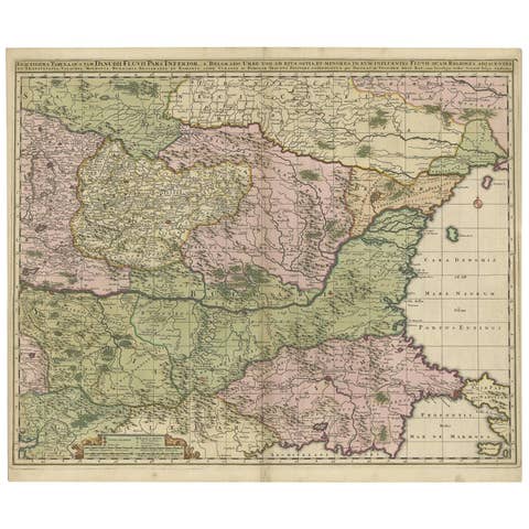
Antique Map of Ukraine, Bulgaria, Romania, Servia by N. Visscher, circa 1700
1700 · € 647

Your favorites

Saved in this browser. Email the list to yourself to keep it on any device.

We use your email to send this list and, only if you tick the box and confirm, for occasional new arrivals. Every email has an unsubscribe link. Bartele Gallery, the Netherlands.