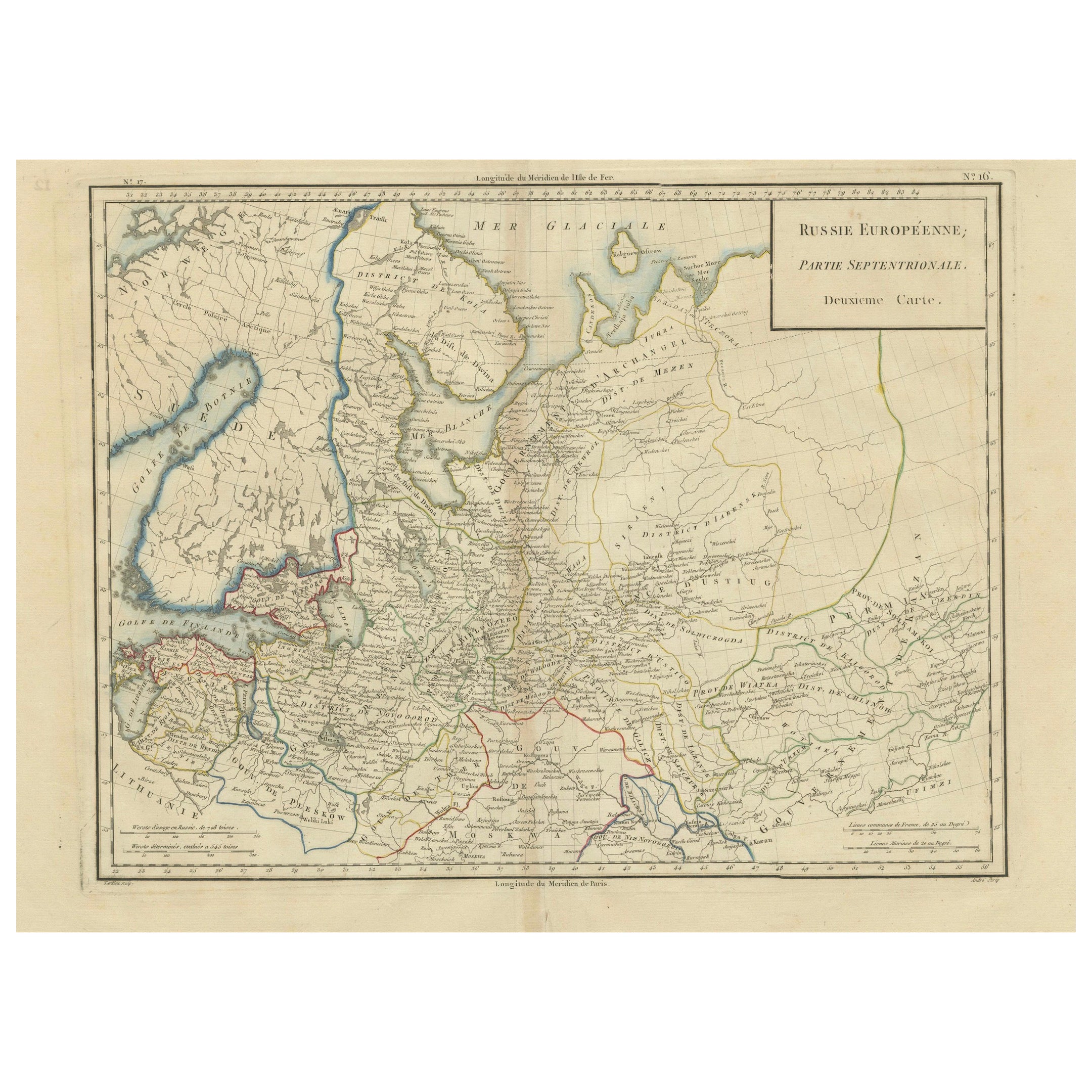
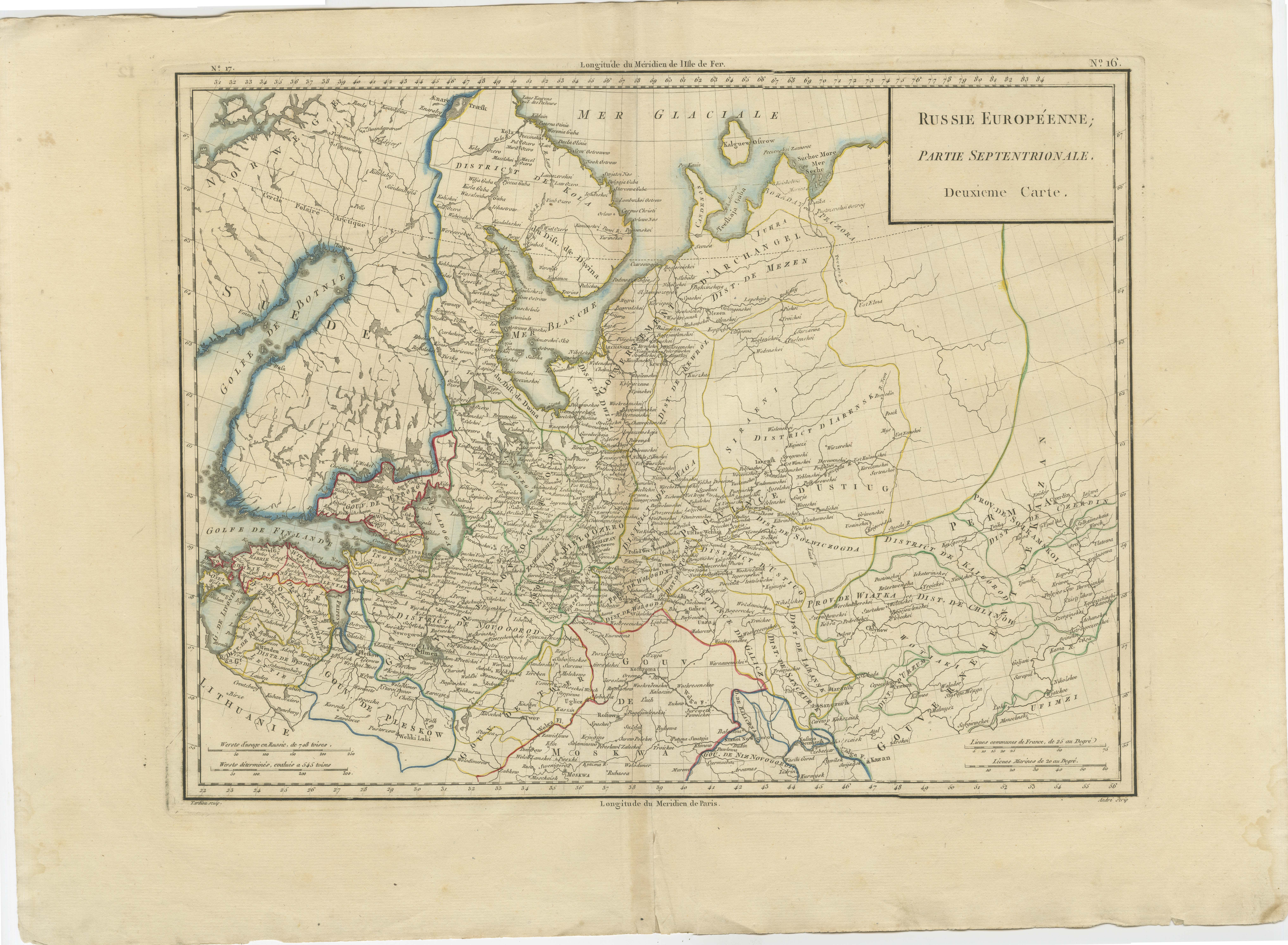
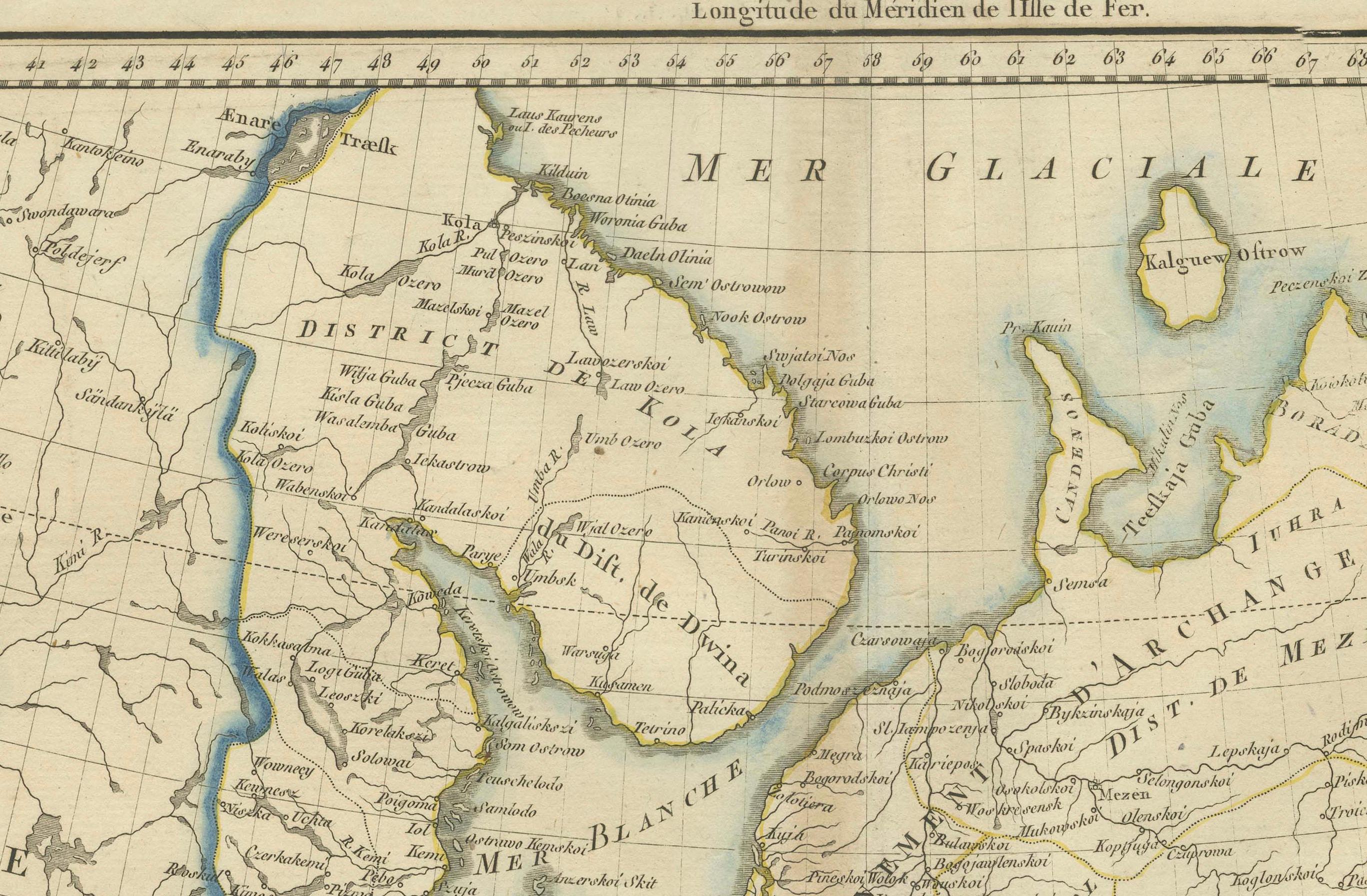
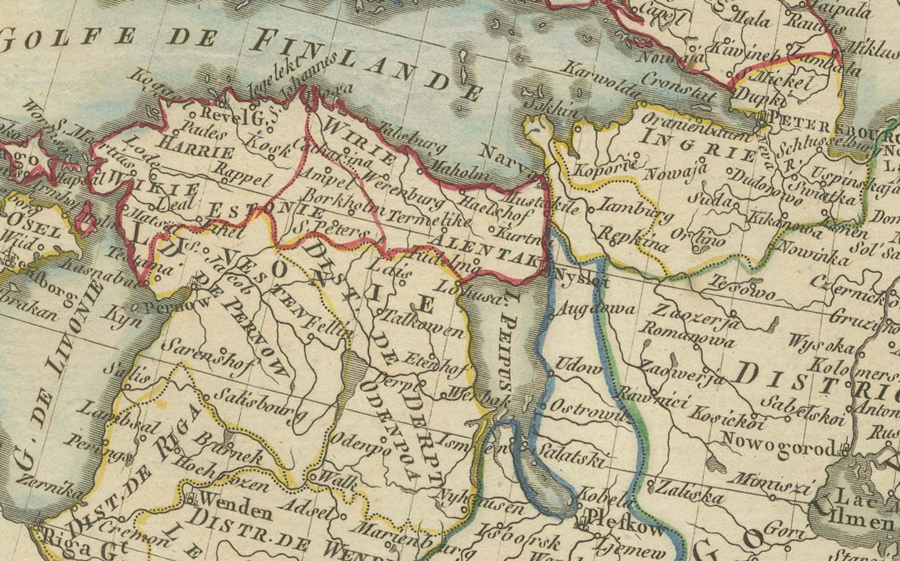
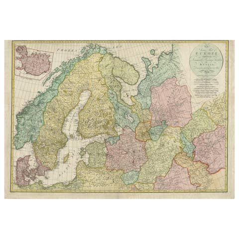
Map of Northern European Russia: Early 19th Century - 1802 Tardieu Atlas
€ 480
One of a kind: this is the sheet in the photographs. Ships from Langweer, the Netherlands.
Date
1802
Sheet size
41.2 × 56.5 cm (16.2 × 22.2 in)
Condition
Good
Reference
BG-13769-9
Condition
Good condition with minor age-related wear. Hand-colored boundaries are well-preserved, enhancing the clarity of regions and features. Fold lines and edge wear are visible, with some age spots, mostly in border. Study the scans carefully.
About this sheet
**Publication Details:**
- **Atlas Title:** Nouvel Atlas Universel de Géographie Ancienne et Moderne - **Purpose:** For the Nouvelle Edition de la Géographie de Guthrie - **Mapmakers:** P. F. Tardieu, with contributions from various geographical works - **Publisher:** Chez Hyacinthe Langlois, Libraire, quai des Augustins, n° 45 - **Year:** An X - 1802 (French Revolutionary Calendar)
**Geographical Scope:** This antique map illustrates the northern part of European Russia, capturing the extensive territory and its various regions.
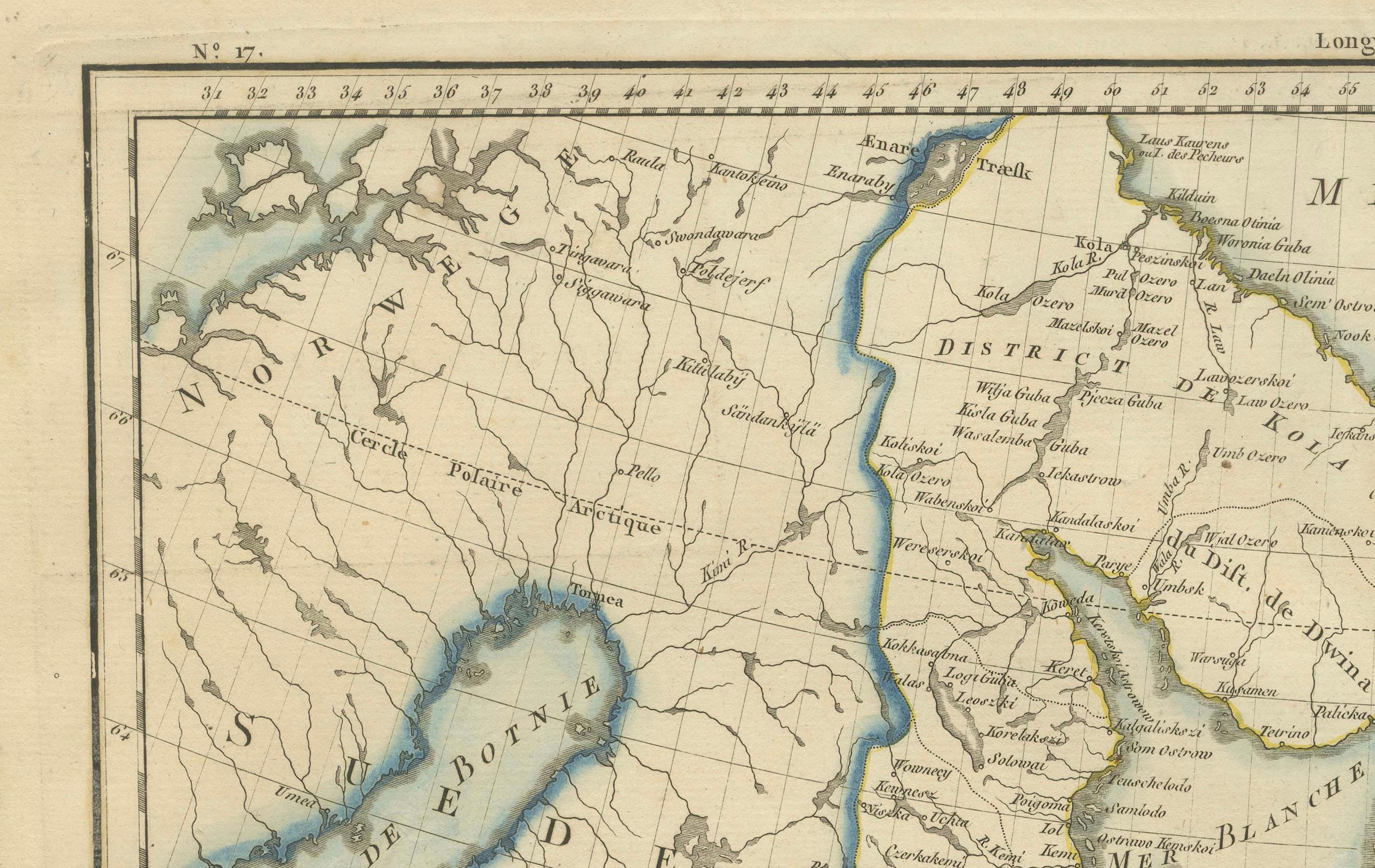
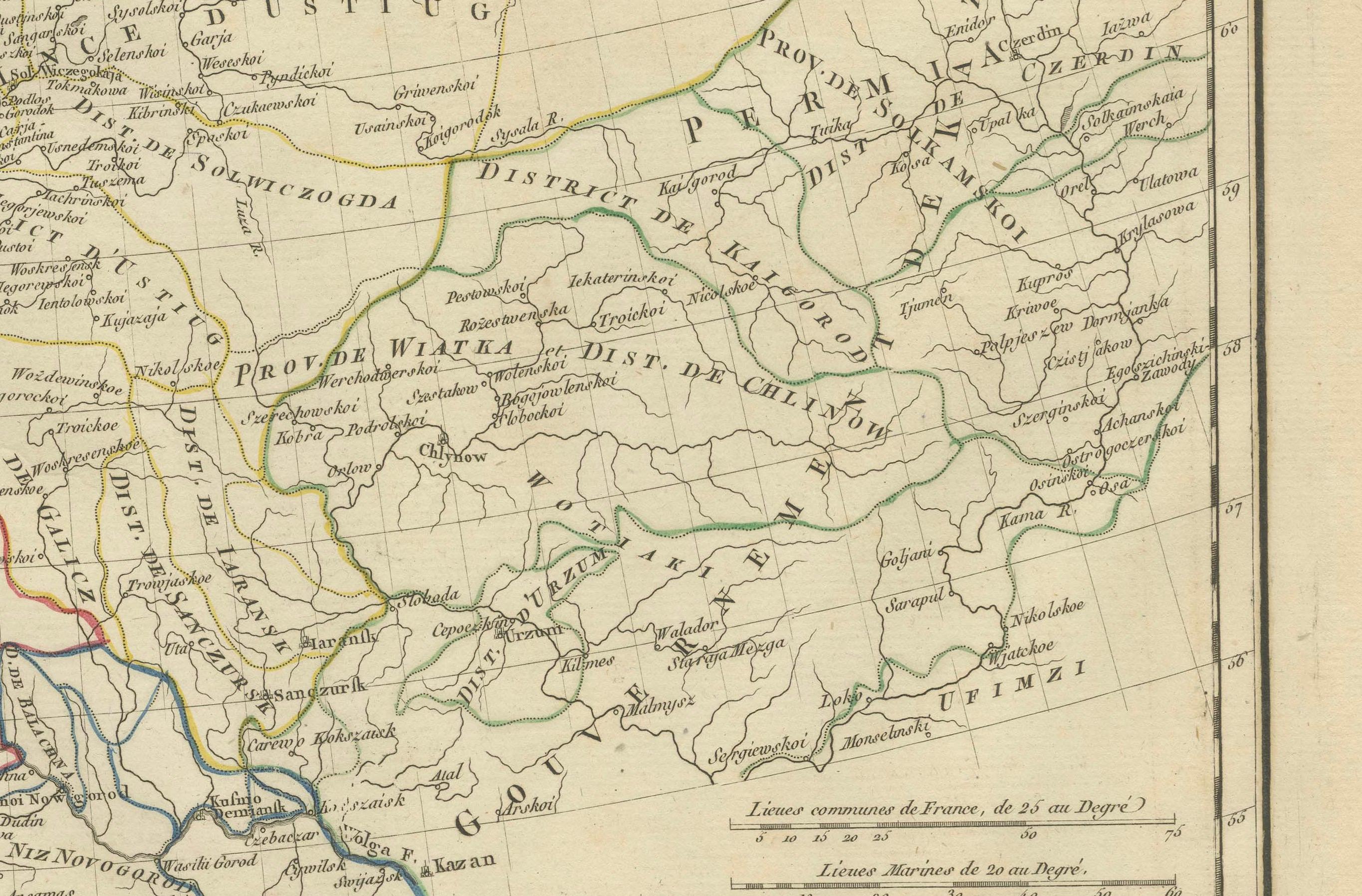
**Map Features:** - **Regions Displayed:** Northern European Russia, including parts of present-day Finland, the Baltic region, and the Arctic coast. - **Notable Regions and Territories:** Includes detailed regions such as Moscovie (Moscow region), Saint Petersburg, and the expansive northern territories. - **Seas and Bodies of Water:** Baltic Sea (Golfe de Finlande), Arctic Ocean (Mer Glaciale), and various rivers and lakes within the region. - **Topographical Details:** Includes mountain ranges, rivers, and other significant geographical features as understood in the early 19th century. - **Cartographic Style:** Detailed engraving with hand-colored boundaries, emphasizing both historical accuracy and artistic presentation.
**Purpose and Use:** This map serves as a detailed visual representation of the northern part of European Russia, reflecting the geographical understanding and cartographic style of the early 19th century. It is part of a larger atlas that includes 60 maps, providing a comprehensive view of both ancient and modern geography as known in 1802.
### Condition Report The map is in good condition with minor age-related wear. Hand-colored boundaries are well-preserved, enhancing the clarity of regions and features. Slight fold lines and edge wear are visible, with some age spots.
### Coloring The hand-colored boundaries on the map highlight regions and territories, adding clarity and visual appeal, typical of early 19th-century cartographic practices.