Antique Maps of Eastern Europe
51 original sheets
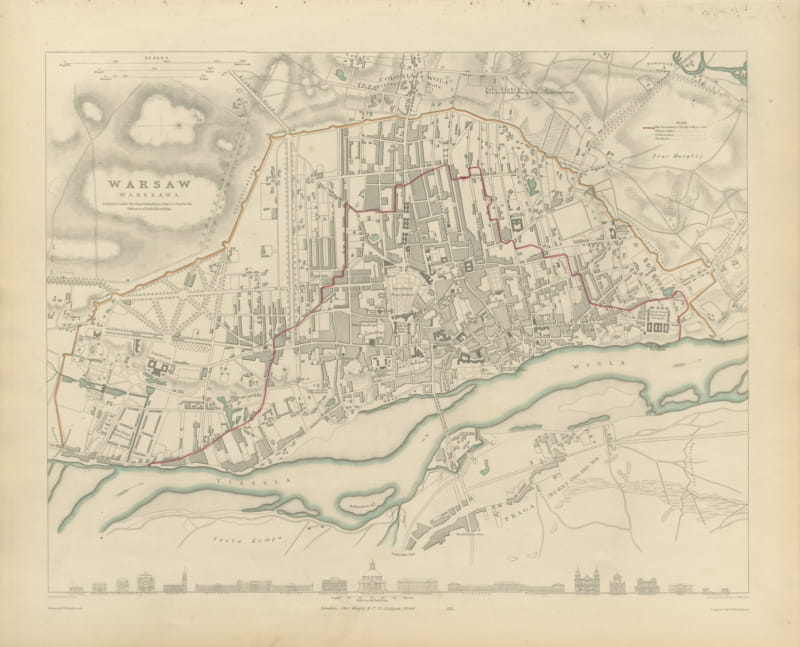
Antique Plan of Warsaw with the Vistula and Praga, 1847
1847 · € 840
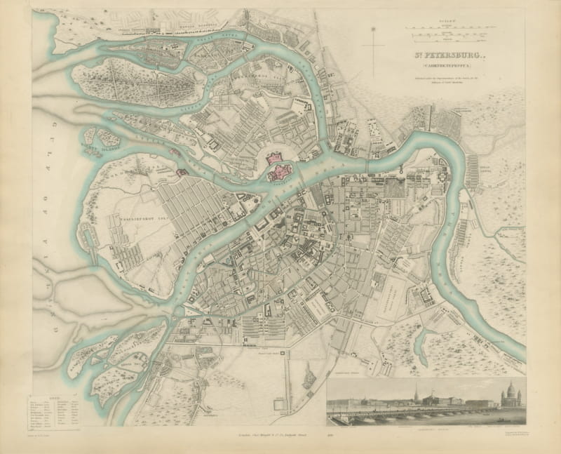
Antique Plan of Saint Petersburg with the Neva and Admiralty, 1847
1847 · € 1 250
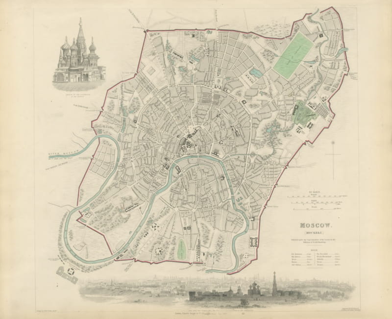
Antique Plan of Moscow with Kremlin and Sparrow Hills View, 1847
1847 · € 1 120
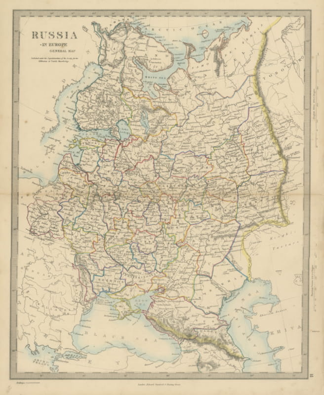
Antique Map of Russia in Europe with the 1856 Treaty of Paris Boundary, 1858
1858 · € 240
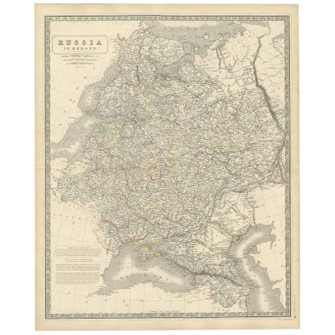
Antique Map of Russia 'in Europe' by W. & A.K. Johnston, circa 1850
1850 · € 240
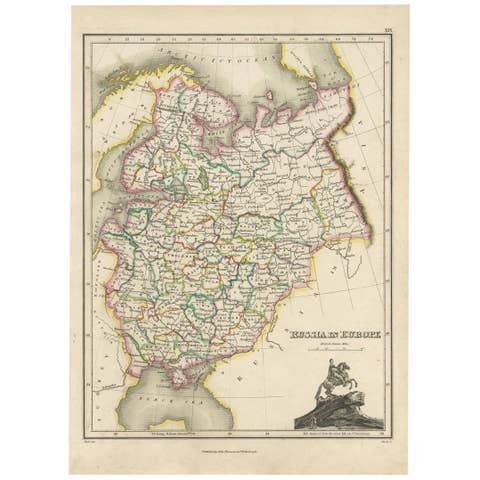
Antique Map of Russia in Europe by J. Thomson, Engraved Detail, 1819
1819 · € 266
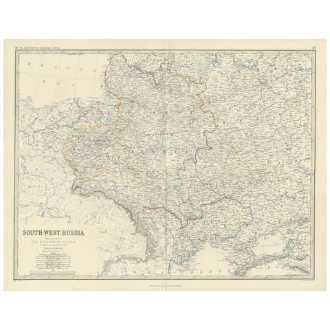
Antique Map of South-West Russia by A.K. Johnston, 1865
1865 · € 250
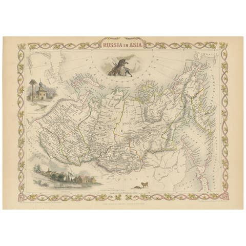
Antique Map of Russia in Asia by Tallis, '1851'
1851 · € 275
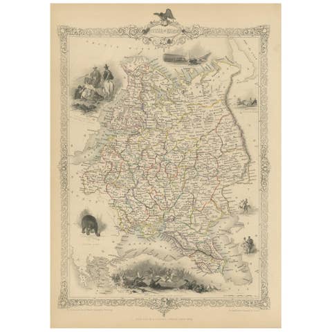
Antique Map of Russia in Europe by John Tallis, Paper Print, 1851
1851 · € 270

Antique Map of Russia in Europe by Levasseur, '1875'
1875 · € 350
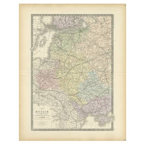
Antique Map of Western Russia by Levasseur, '1875'
1875 · € 350
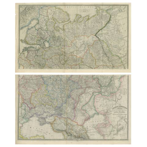
Set of 2 Antique Maps of Russia by Wyld, 1883
1883 · € 1 250
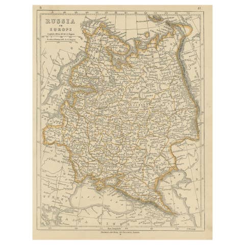
Antique Map of Russia in Europe by Lowry, 1852
1852 · € 100
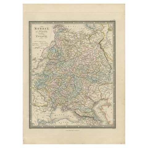
Antique Map of Russia in Europe and Poland by Wyld '1845'
1845 · € 200

Antique Map of Russia in Asia by Wyld, '1845'
1845 · € 200
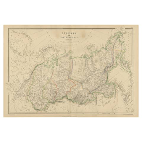
Antique Map of Siberia, Russia, 1859
1859 · € 250
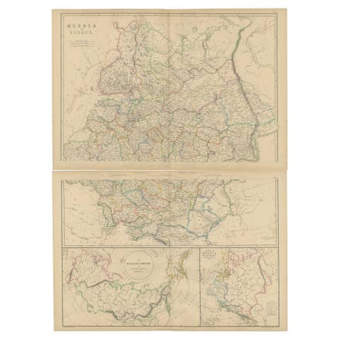
Set of 2 Antique Maps of Russia in Europe by W. G. Blackie, 1859
1859 · € 400
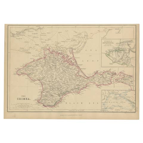
Antique Map of the Crimean Peninsula and Sevastopol by W. G. Blackie, 1859
1859 · € 175
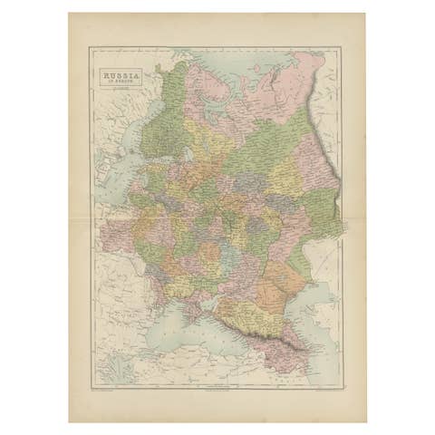
Antique Map of Russia in Europe by A & C, Black, 1870
1870 · € 275
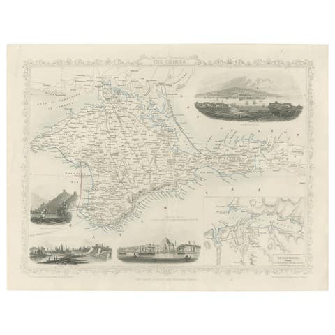
A Decorative Detailed Map of the Crimea, with an Inset Map of Sebastopol, c 1851
1851 · € 550
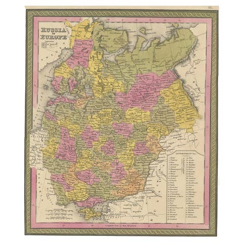
Antique Map of Old European Russia, 1846
1846 · € 280
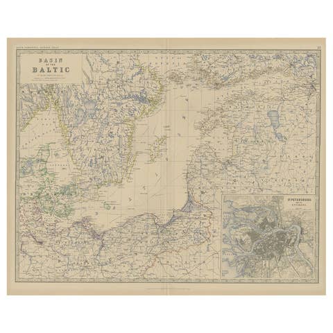
Old Map of the the Baltic Sea Region, Inset of St. Petersburg, 1882
1882 · € 350
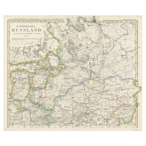
Antique Map of Russia in Europe on Two Sheets from an Old German Atlas, Ca.1825
1825 · € 450

Antique Map of Russia in Europe and Poland from an d Old Dutch Atlas, 1852
1852 · € 120
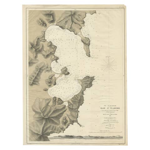
Rare Map of the Bay of St. Vladimir 'Russia' Showing the Route of J. Ward, 1869
1869 · € 730
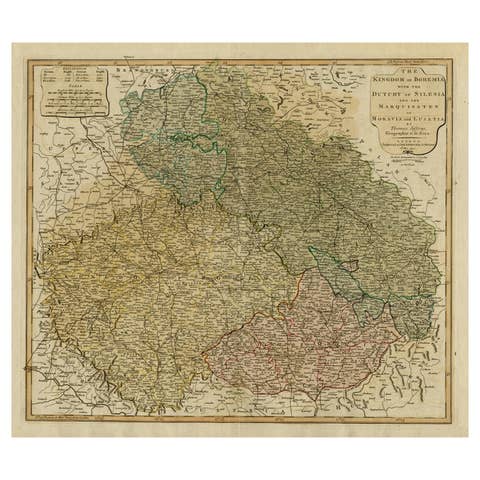
Original Map of the Kingdom of Bohemia, with Silesia, Moravia and Lusatia, 1804
1804 · € 1 280

Antique Map of Eastern Europe, Incl Montenegro & Serbia & a Budapest Map, 1890
1890 · € 120
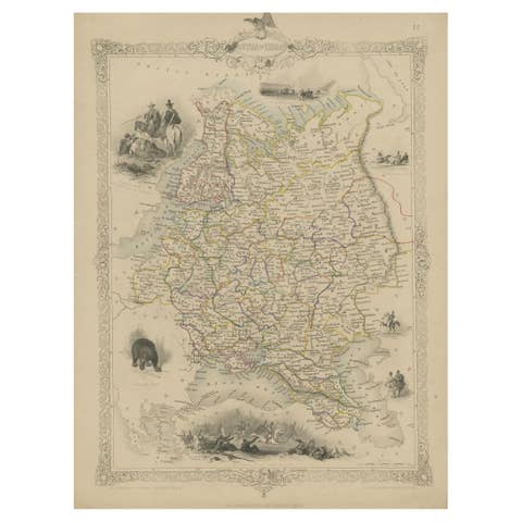
Map of Russia with Vignettes of the Neoskoi Prospect, St. Petersburg, ca.1851
1851 · € 299
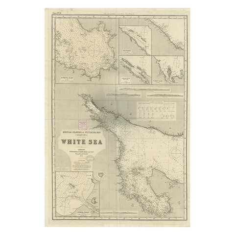
Uncommon, Large Map of the British Islands to Petshora Bay, 1891
1891 · € 1 160
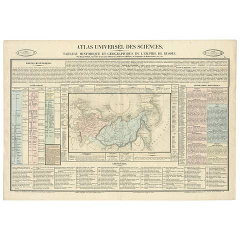
Original French Antique Map of the Russian Empire, 1837
1837 · € 290

Antique Map of the Extension of the Russian Empire in the XIXth Century, 1806
1806 · € 560
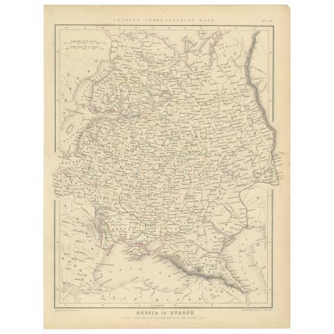
Old Original Map of Russia in Europe, 1849
1849 · € 180
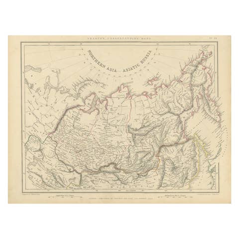
Northern Asia, Asiatic Russia, Old Map of Russia in Asia, 1849
1849 · € 180
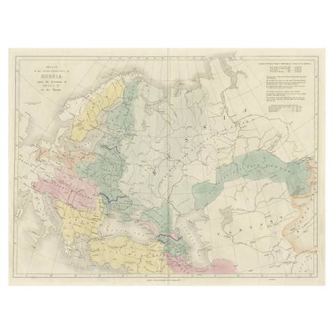
Historical Antique Map of Russia, Examining the History of Russia, 1838
1838 · € 340
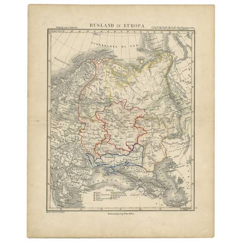
Antique Map of Russia in Europe by Petri, c.1873
1873 · € 97
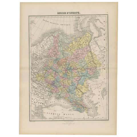
Antique Map of Russia in Europe by Migeon, 1880
1880 · € 99
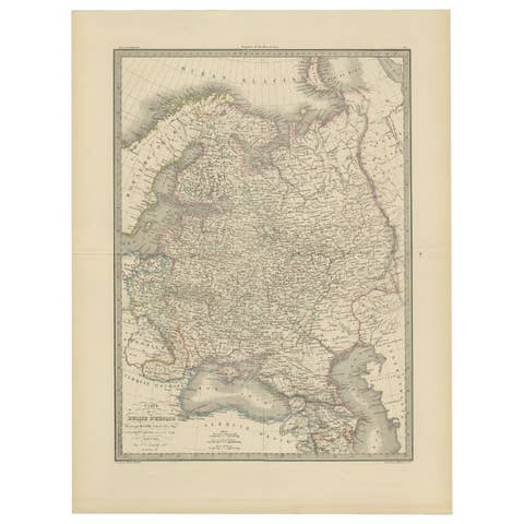
Antique 1842 Map of Russia in Europe by Pierre M. Lapie
1842 · € 330
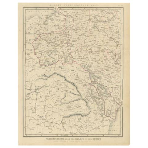
Antique Map of Russia from the Baltic to the Black Sea by Sharpe, 1849
1849 · € 95
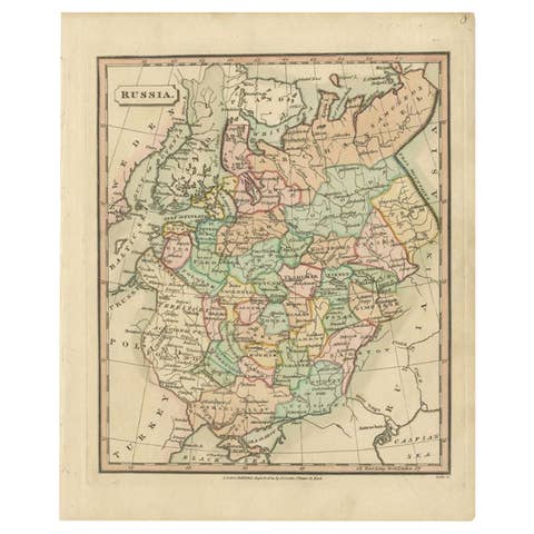
Antique Map of Russia by Tyrer, 1821
1821 · € 115
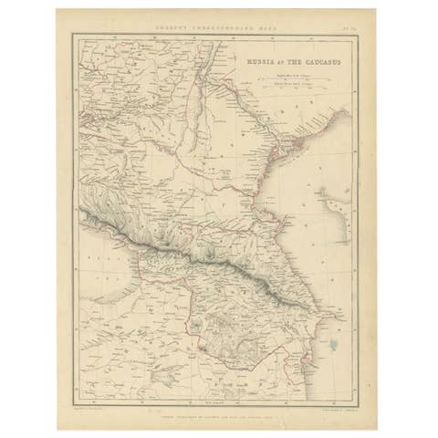
Antique Map of Russia and the Caucasus by Sharpe, 1849
1849 · € 95
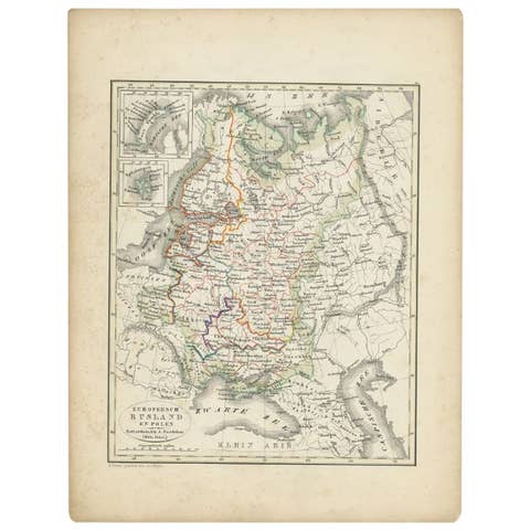
Antique Map of Russia and Poland by Petri, 1852
1852 · € 120
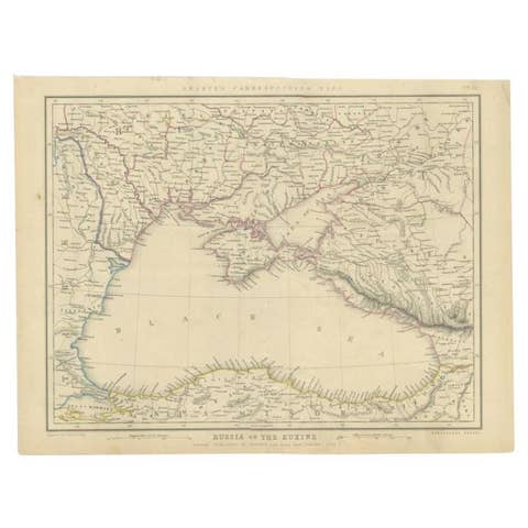
Antique Map of the Black Sea and Surroundings by Sharpe, 1849
1849 · € 95
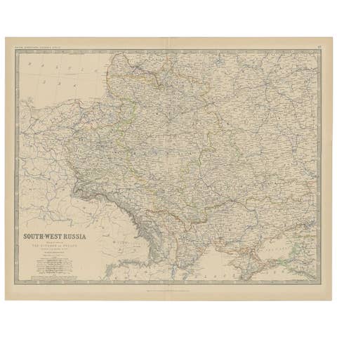
Antique Map of Southern Russia by Johnston, 1882
1882 · € 120

Original Antique Map of Russia in Europe, 1882
1882 · € 190

Philips Map of the Seat of War 1854 – Black Sea, Turkey & Russia Antique Map
1854 · € 620
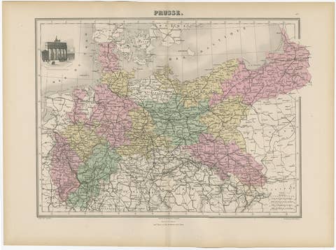
Antique Map of the Kingdom of Prussia, 1880
1880 · € 180

Imperial Frontiers: A 19th Century Map of Southern Russia and the Caucasus, 1882
1882 · € 270

Map of Northern European Russia: Early 19th Century - 1802 Tardieu Atlas
1802 · € 480