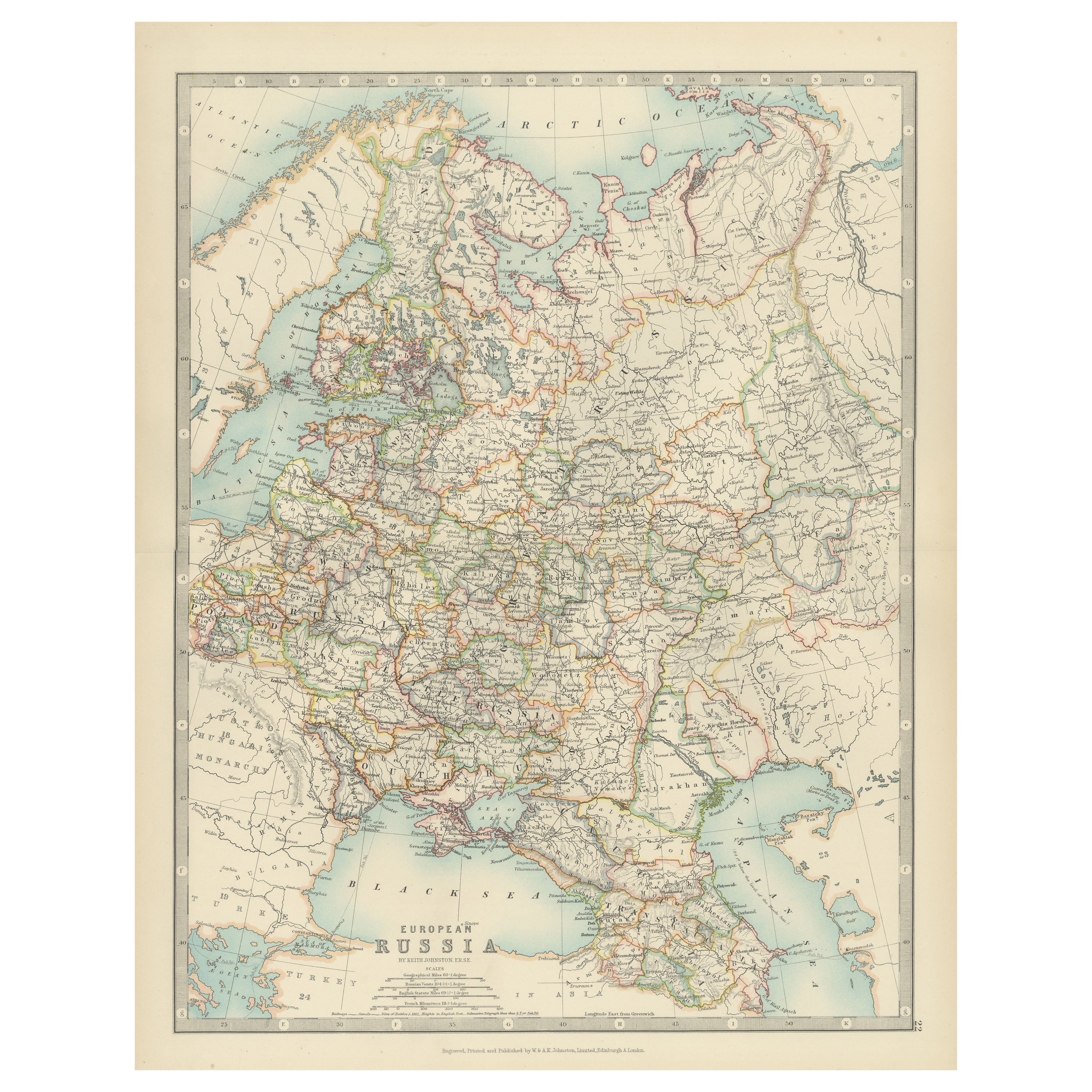
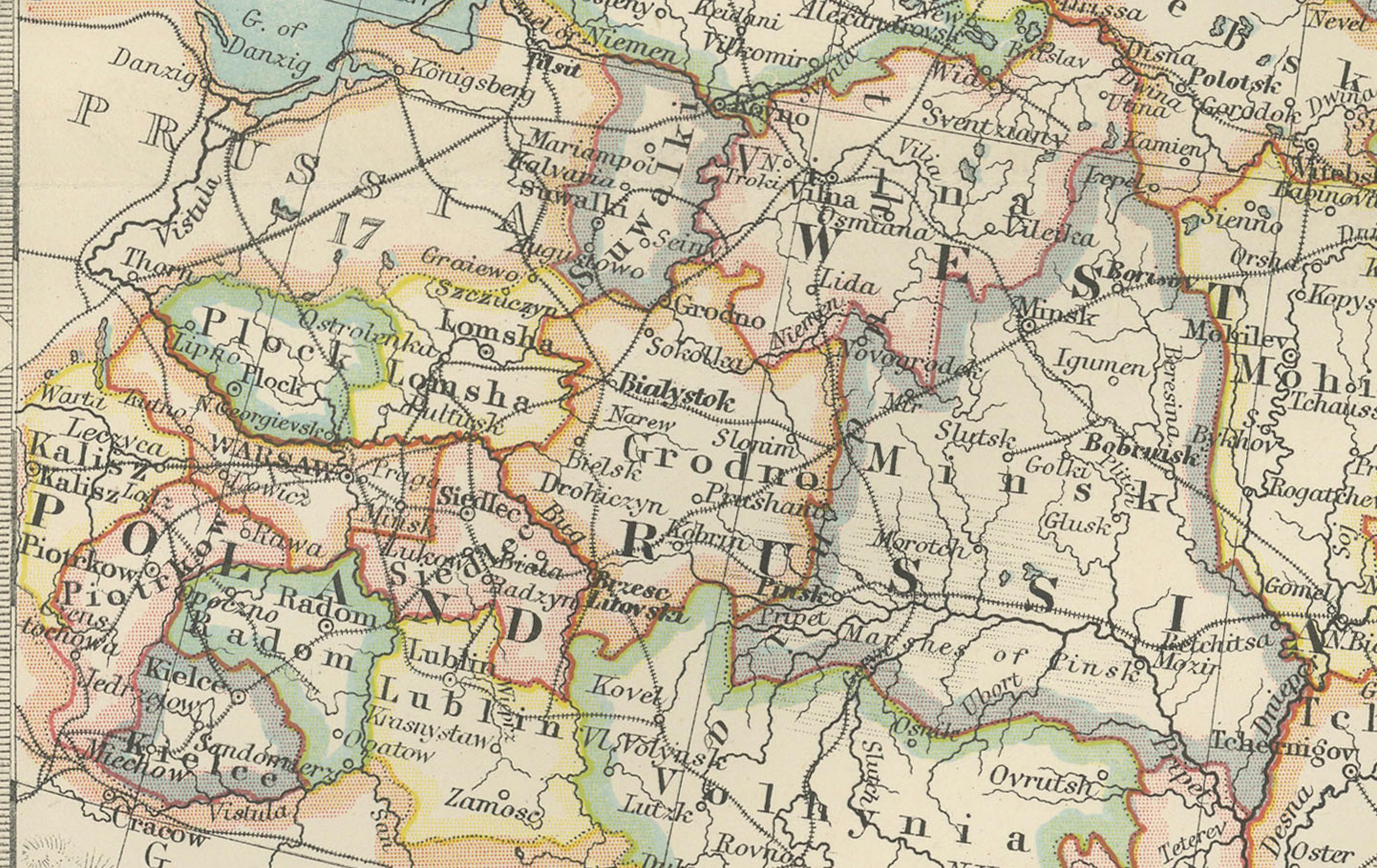
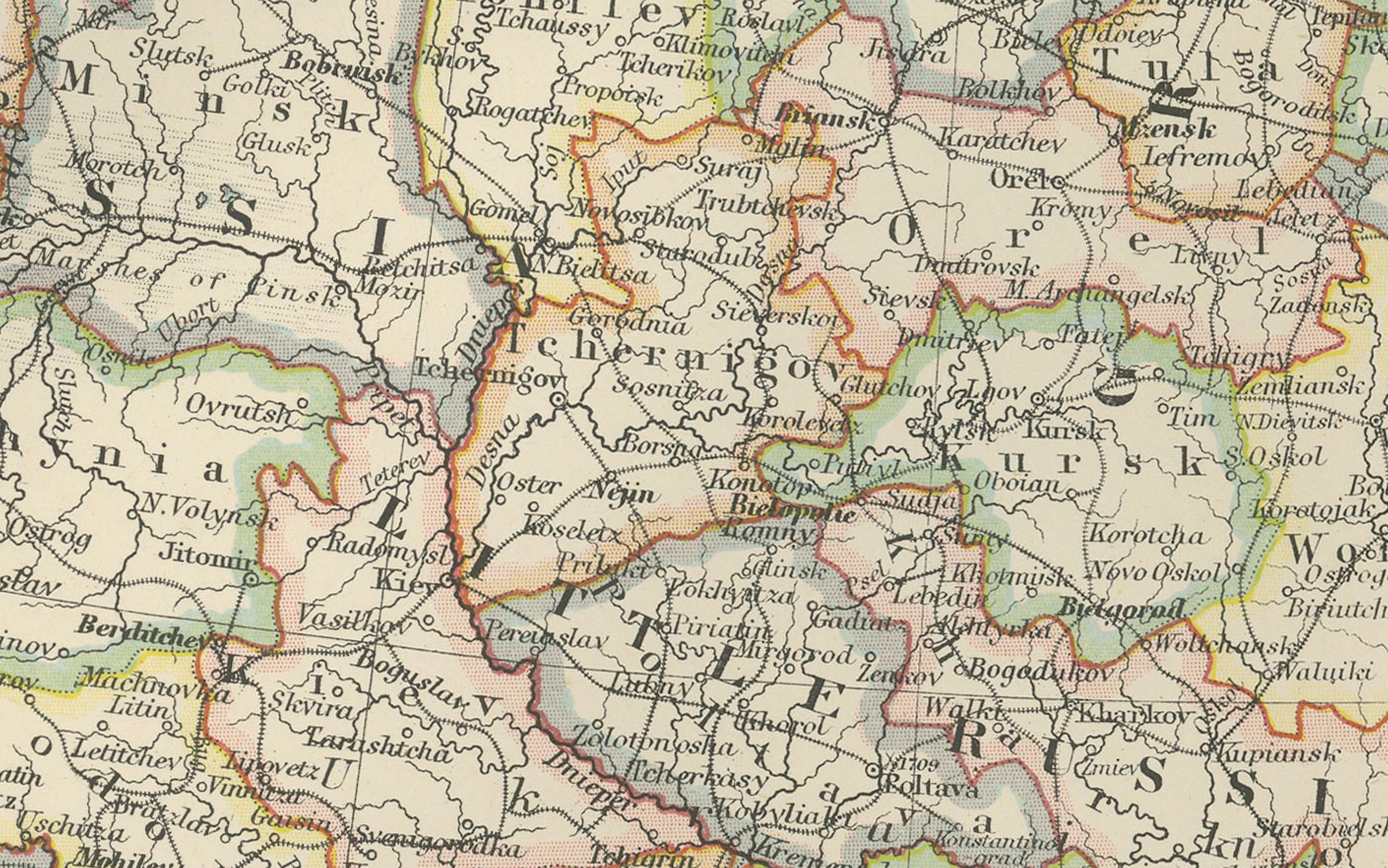
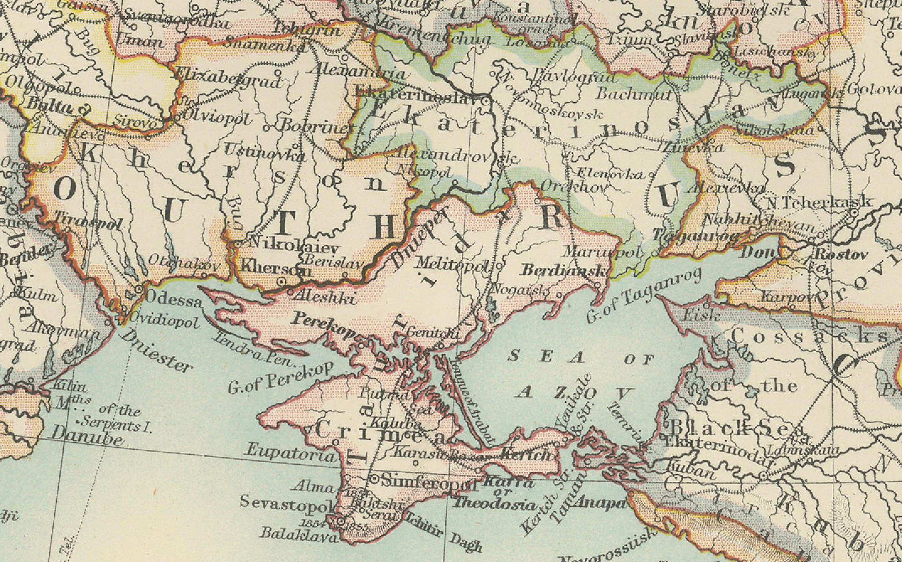
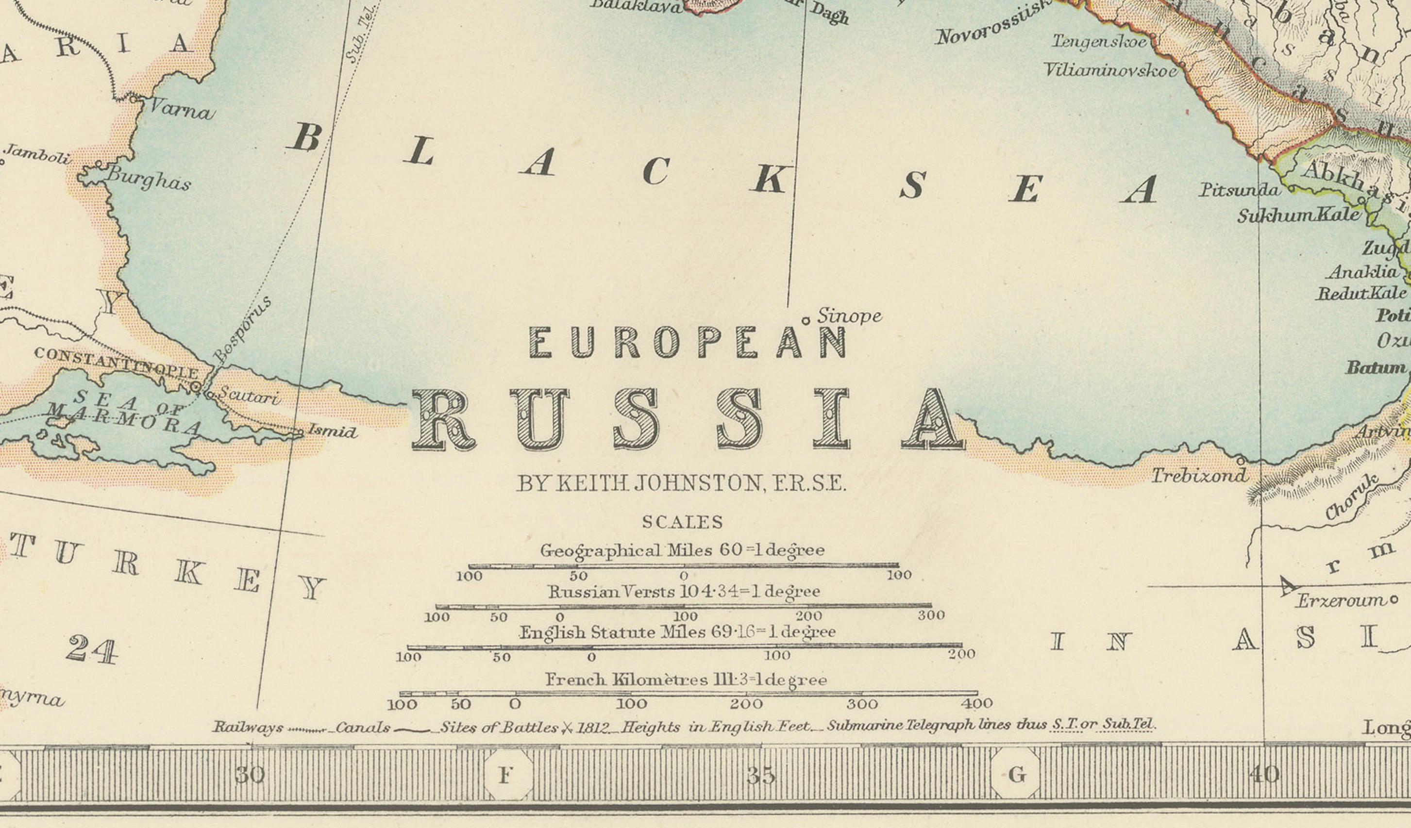
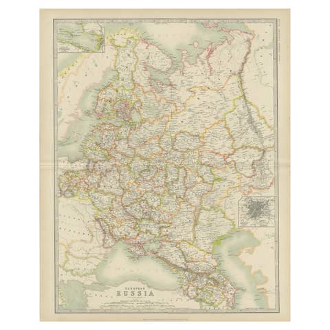
Antique Map of European Russia, 1903, with Colorful Provincial Boundaries
€ 430
One of a kind: this is the sheet in the photographs. Ships from Langweer, the Netherlands.
Date
1903
Sheet size
36.8 × 47 cm (14.5 × 18.5 in)
Condition
Good
Reference
BG-13577-22
Condition
The map is in very good antique condition, with minor foxing and gentle toning at the edges typical for its age. The colors remain vibrant and the paper well-preserved. Folding line as issued.
About this sheet
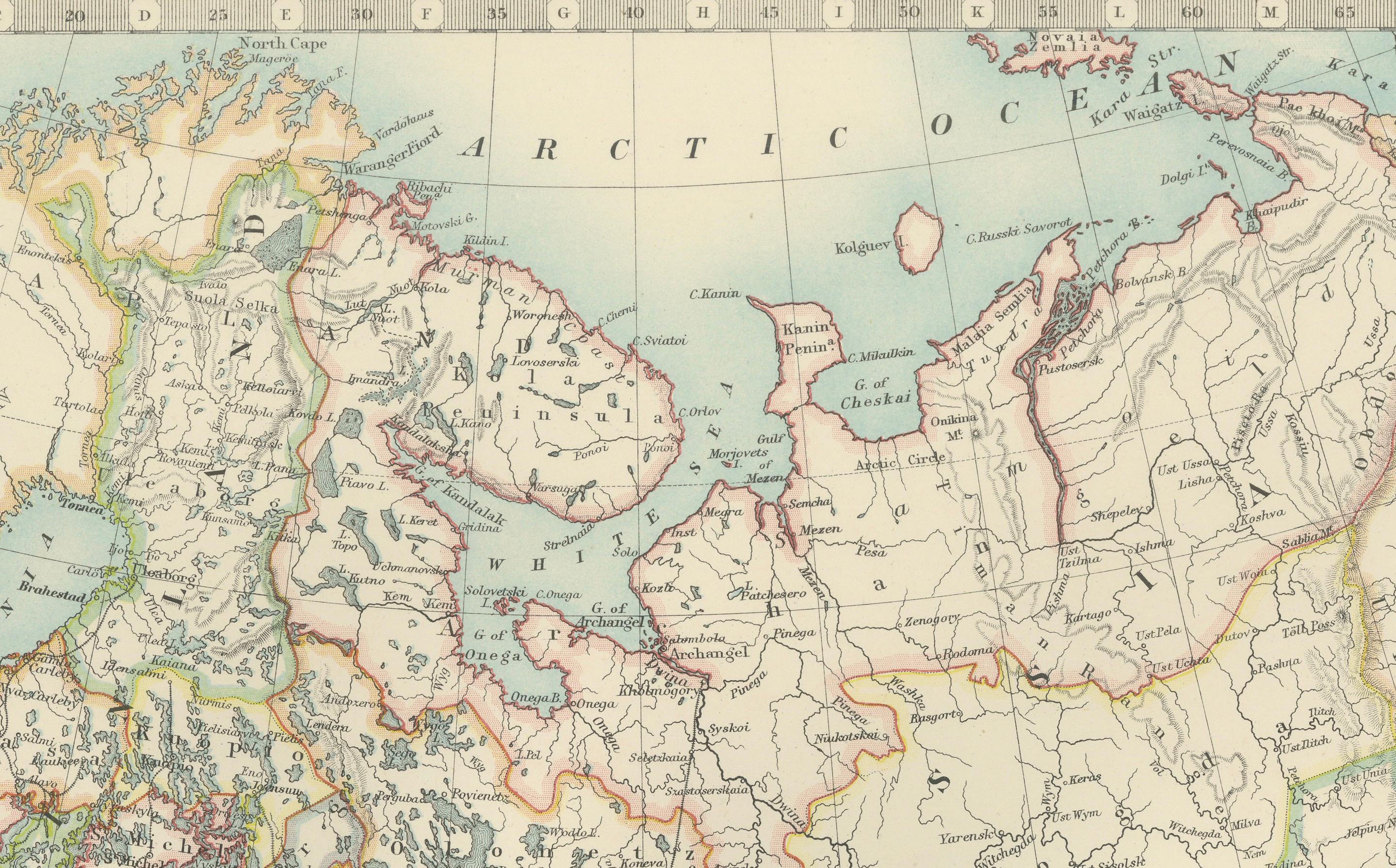
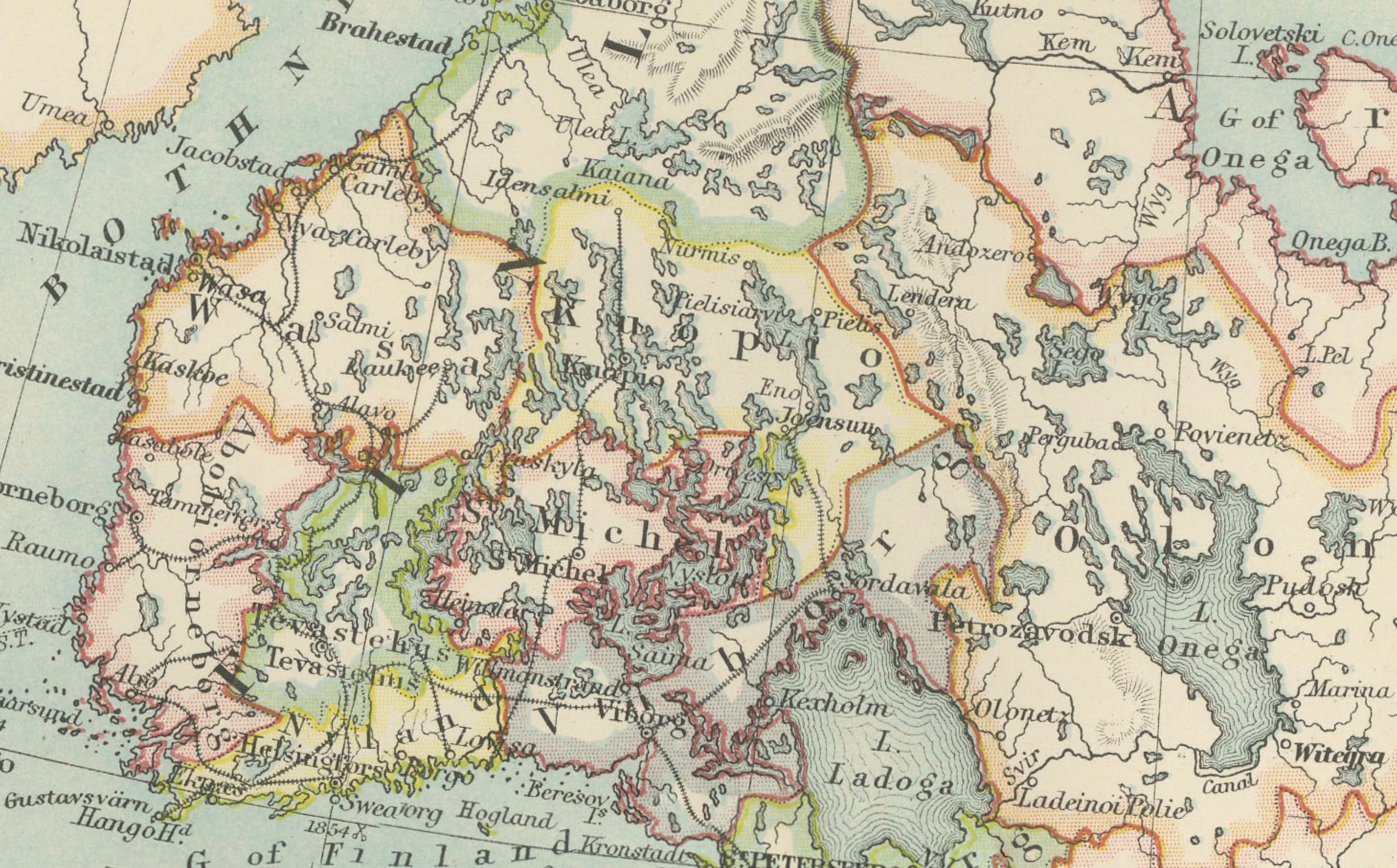
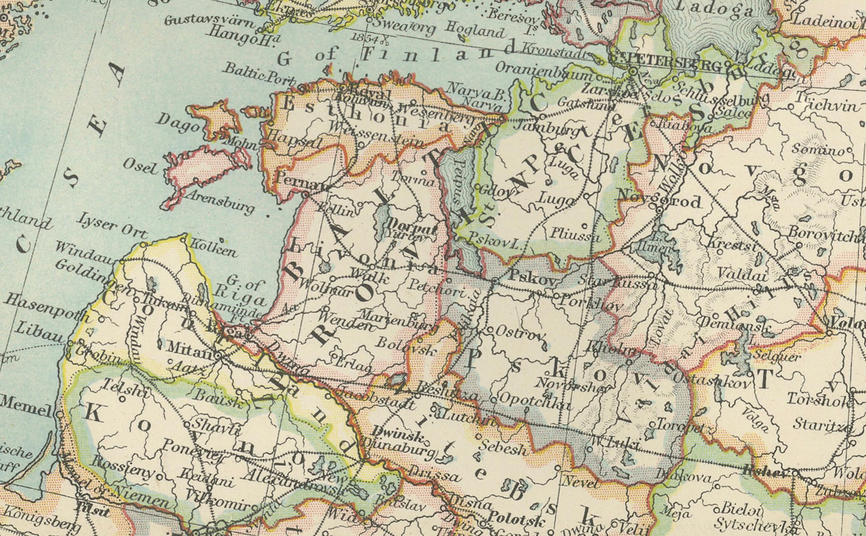
This antique map, titled "European Russia," was engraved and published in 1903 by W. & A.K. Johnston in Edinburgh and London. It offers a comprehensive and beautifully detailed depiction of the European portion of the Russian Empire, stretching from the icy waters of the Arctic Ocean in the north to the Black Sea and the Caucasus Mountains in the south.
Delicately hand-colored in soft pastel shades, the map elegantly delineates provincial boundaries, major cities, rivers, mountain ranges, and the extensive railway network that connected the empire’s vast and diverse territories. From St. Petersburg and Moscow to the far reaches of the Crimea and the Caucasus, the map’s precision and clarity are a testament to the exceptional craftsmanship of Johnston’s cartographers.
A striking feature of the map is its depiction of the empire’s rich natural geography, including the vast forested plains of central Russia, the rugged mountain ranges of the south, and the intricate river systems that served as lifelines for commerce and transport. The Black Sea and Caspian Sea are also prominently featured, highlighting their strategic importance in the region.
For collectors, historians, and those with an interest in Russian history and geography, this map is more than a visual artifact. It captures the dynamic and multi-ethnic nature of the Russian Empire at a time of profound political and social change, just a decade before the upheavals of the Russian Revolution.
Condition report: This map is in very good antique condition, with minor age-related foxing and gentle toning along the edges. The colors remain vivid and the paper well-preserved.
Framing tips: A classic wooden frame in walnut or mahogany will enhance the warm pastel tones and historical character of this map. Use a cream or off-white matting to highlight the intricate engraving and delicate coloring, creating an elegant and timeless focal point for any room or study.