Maps & PrintsBartele Gallery · Langweer
Home / Antique Maps / Europe / Eastern Europe

Eastern Europe

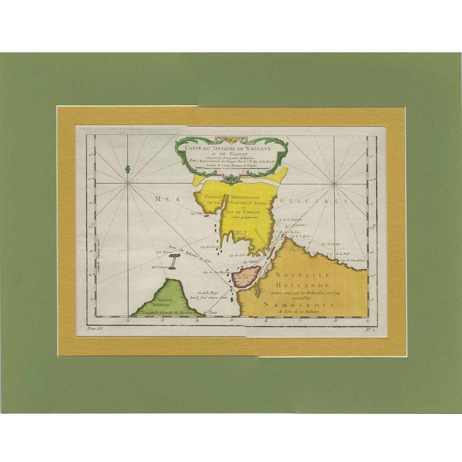
Antique Map of the Strait Between Nova Zembla and the Mainland of Russia

€ 252

One of a kind: this is the sheet in the photographs. Ships from Langweer, the Netherlands.

Sheet size
37.7 × 48.2 cm (14.8 × 19.0 in)
Condition
Good
Reference
BG-06282

Condition

Please study image carefully.

About this sheet

Antique map titled 'Carte du Detroit de Waeigats ou de Nassau'. Detailed regional map of the Strait of Waeigats in the Arctic Sea. Includes a decorative title cartouche. One of the maps produced by Nichlas Bellin for Prevost d'Exiles' influential travel book 'l'Histoire Generale des Voyages'.

More from Eastern Europe

Ask about this sheet

Antique Map of the Strait Between Nova Zembla and the Mainland of Russia
Ref. BG-06282 · € 252
We reply by email, usually within one working day.