About this sheet
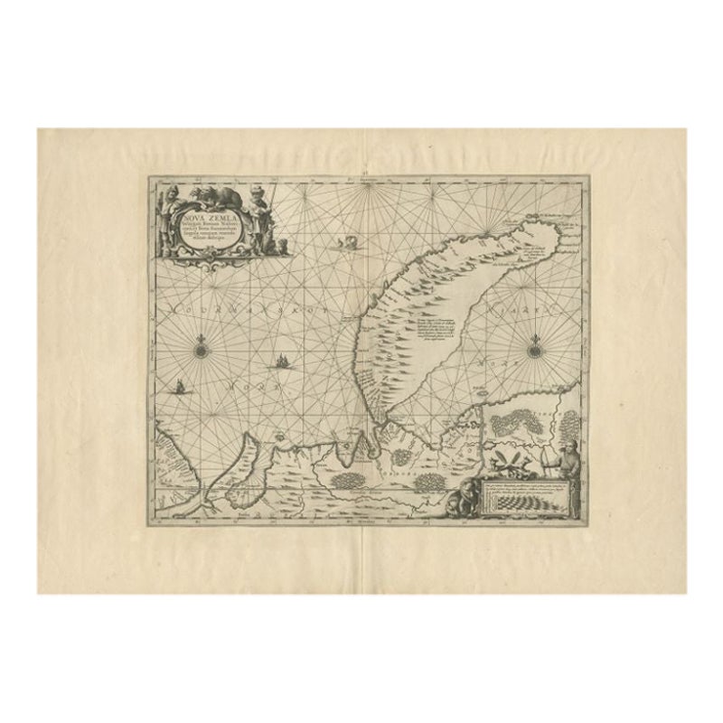
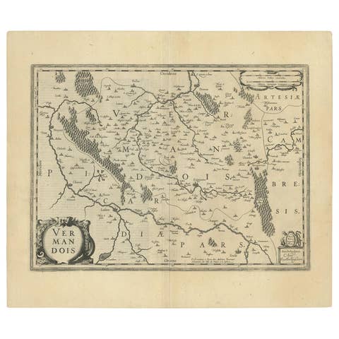
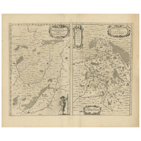
Antique map titled 'Nova Zemla, waygats fretum Nassovi cum et terra Samoiedum singula omnium emendatissime descripta'. This map depicts Nova Zembla and the northern continental coastline. Originates from 'Het Vijfde Deel Des Grooten Atlas, Vervatende De Water-Weereld (..)'. Artists and Engravers: Johannes Janssonius also known as Jan Jansson (1588-1664) was born in Arnhem, Netherlands. His father was a bookseller and publisher (Jan Janszoon the Elder). When he married the daughter of the cartographer Jodocus Hondius he also set up a business as book publisher in Amsterdam. His first map was published in 1616. Around 15 years later he set up a partnership with his brother in law Hondius add issued further editions of the Mercator/Hondius atlas. After his death his heirs still have published several maps. Many of his plates have been acquired by Pieter Schenk and Gerard Valk.
Condition: Good. Margins extended, edges mounted to paper. Please study image carefully.
Date: c.1650
Overall size: 76.5 x 55 cm.
Image size: 0.001 x 51 x 41 cm.
They were the product of engraved, etched or lithographed plates. These plates were handmade out of wood or metal, which required an incredible level of skill, patience and craftsmanship. Whether you have a house with Victorian furniture or more contemporary decor an old engraving can enhance your living space. We offer a wide range of authentic antique prints for any budget.