Maps & PrintsBartele Gallery · Langweer
Home / Antique Maps / Europe / Eastern Europe

Antique Maps of Eastern Europe

102 original sheets

Large Map of Russian Discoveries in Siberia, Alaska & the Bering Strait, 1784
1784 · € 2 450
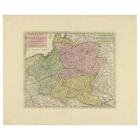
Historic Map of Poland and Lithuania – Tirion Edition c.1740
1740 · € 770
Antique Map of Eastern Europe – Russia, Ottoman Empire & Greece, 1868
1868 · € 390
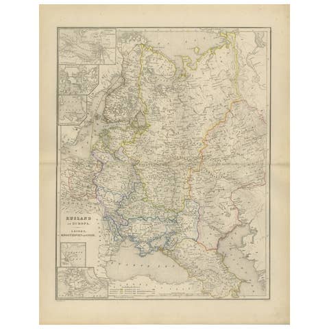
European Russia Map with Saint Petersburg Inset – Nieuwe Hand-Atlas, 1876
1876 · € 370
Russian Empire in Europe & Asia – Enlightenment Map by Rigobert Bonne, c.1780
1780 · € 410
Antique Map Russia in Europe, Bartholomew for Black’s General Atlas - 1884
1884 · € 389

Your favorites

Saved in this browser. Email the list to yourself to keep it on any device.

We use your email to send this list and, only if you tick the box and confirm, for occasional new arrivals. Every email has an unsubscribe link. Bartele Gallery, the Netherlands.