About this sheet
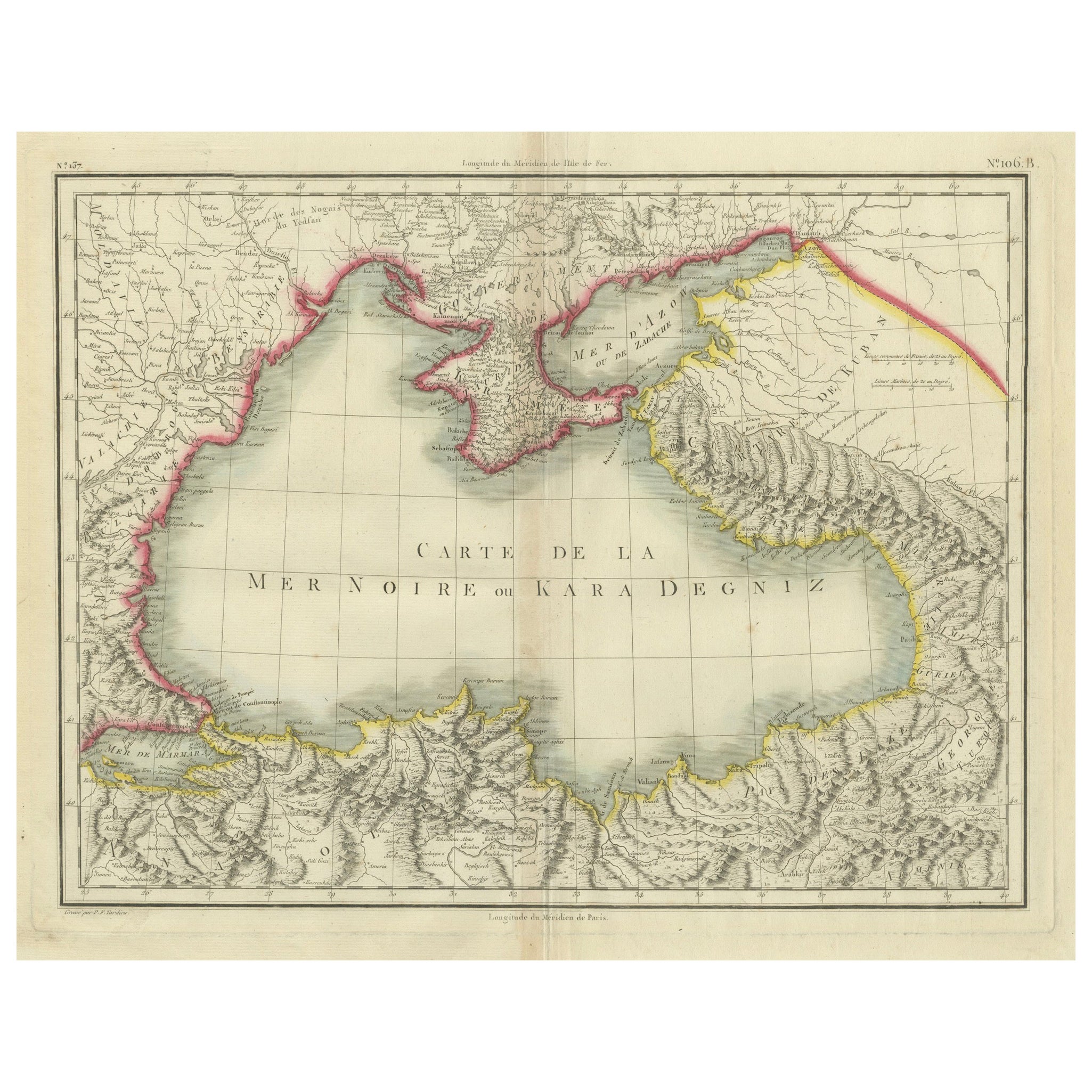
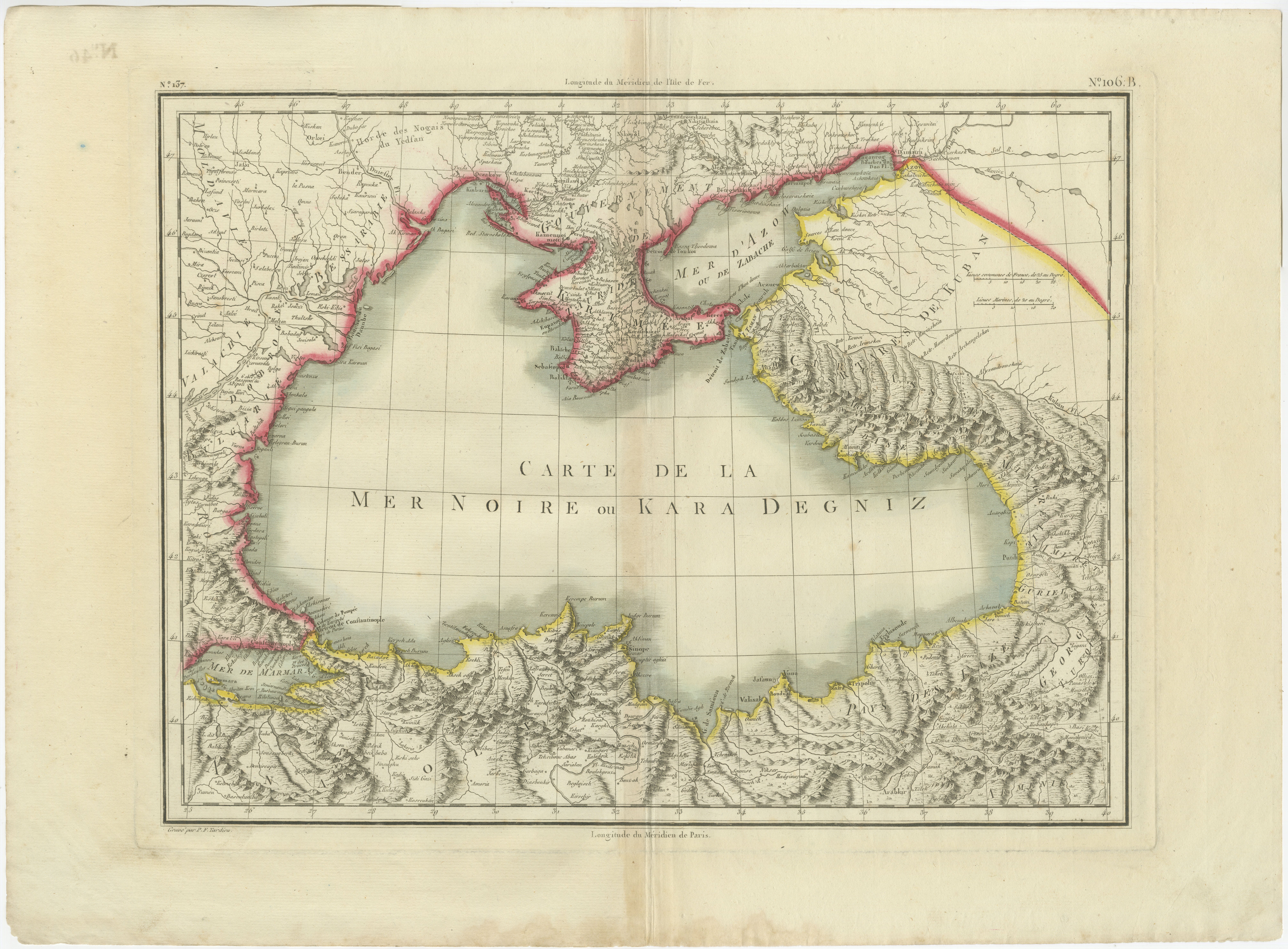
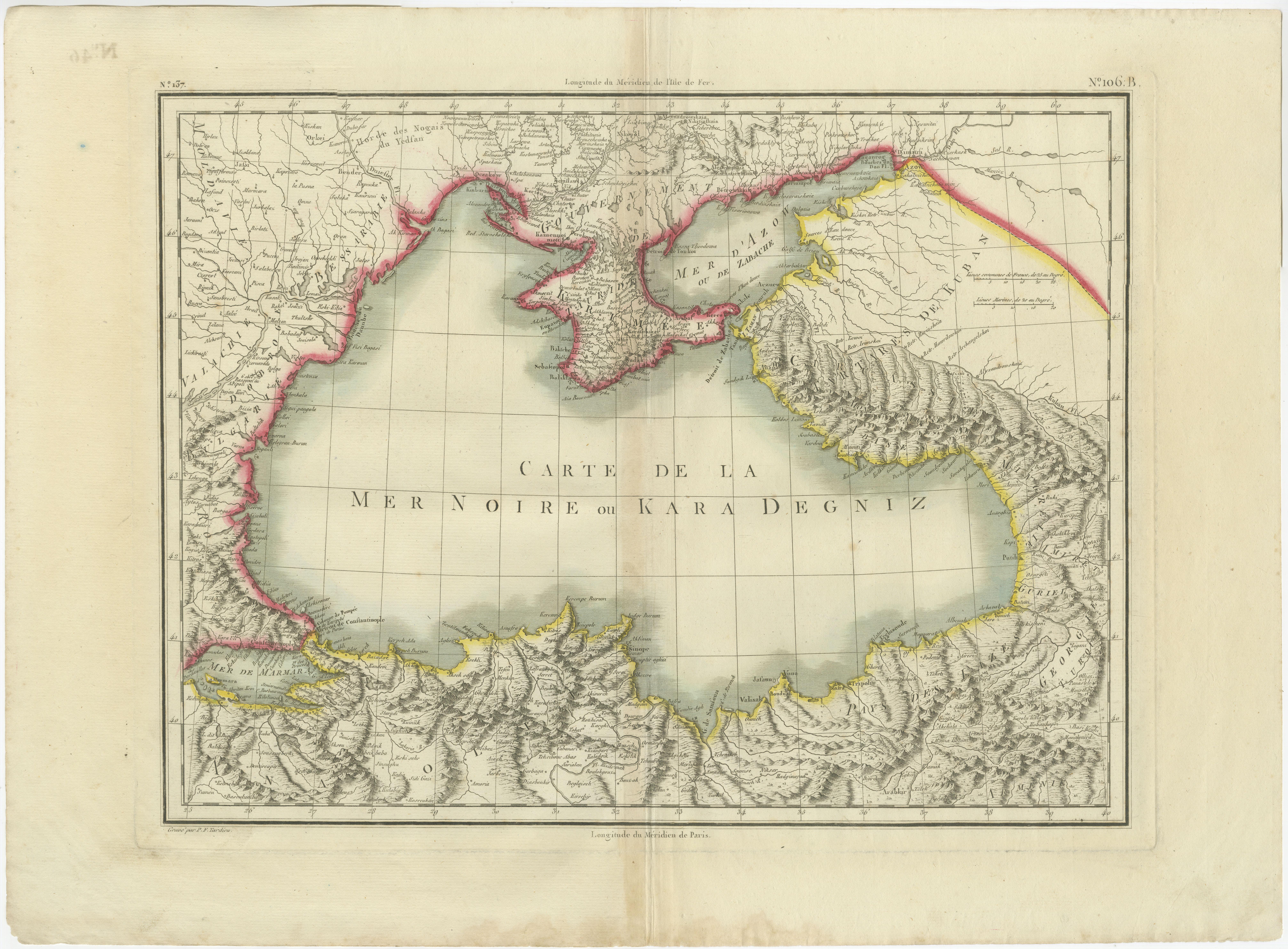
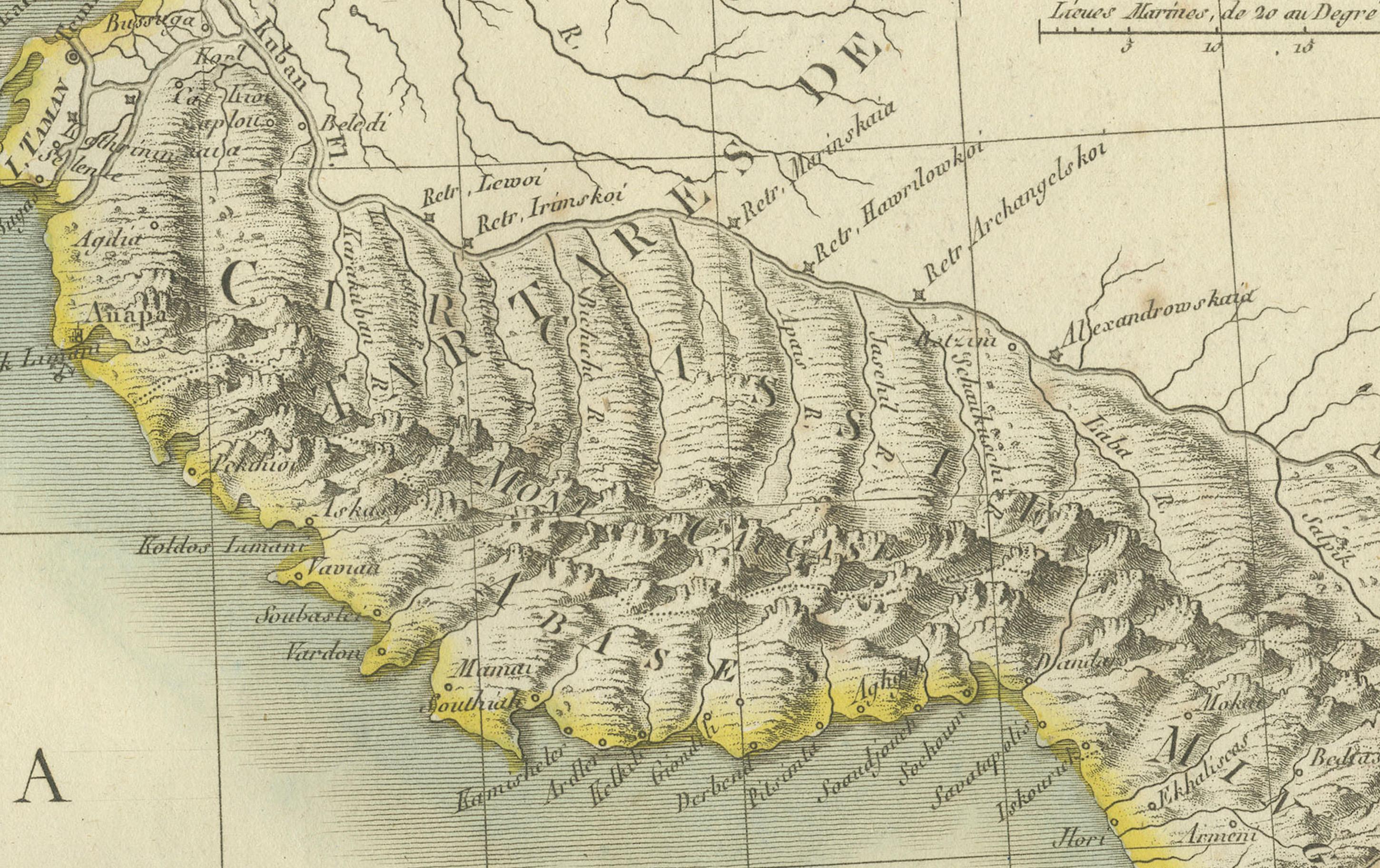
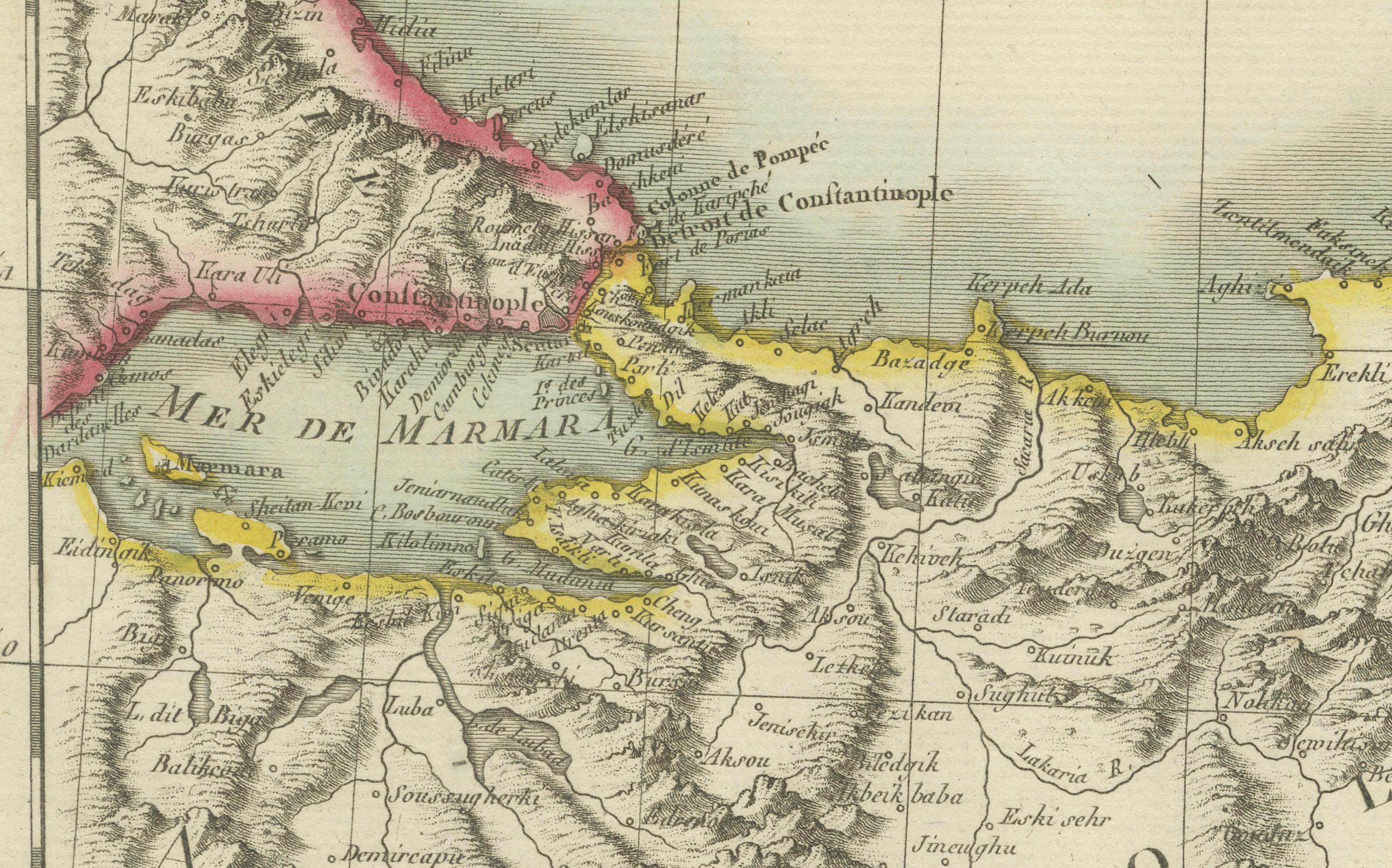
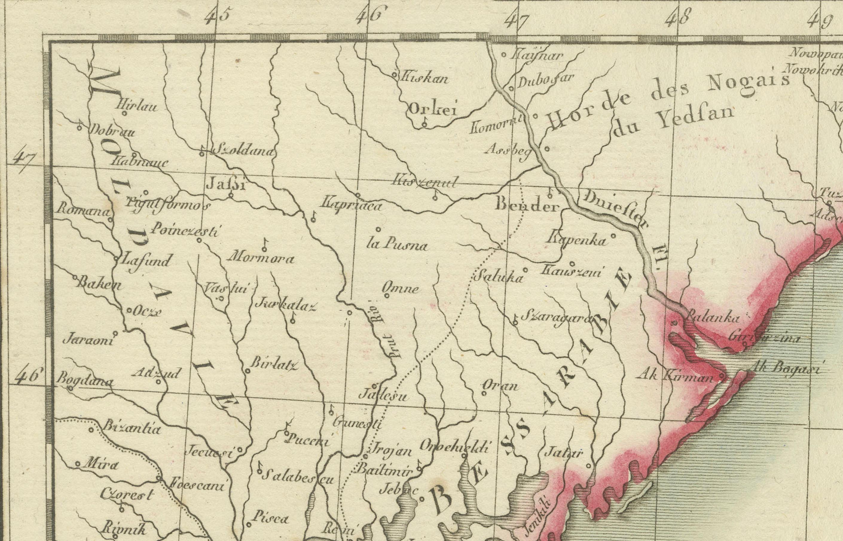
This is an original antique map titled "Carte de la Mer Noire ou Kara Degniz," depicting the Black Sea region. This map, created by Pierre Antoine Tardieu, highlights the geographical and political features surrounding the Black Sea, including parts of modern-day Turkey, Romania, Bulgaria, Ukraine, Russia, and Georgia.
Map Details:
* Title: Carte de la Mer Noire ou Kara Degniz
* Creator: Pierre Antoine Tardieu (1784–1869)
* Publication Date: Early 19th century
* Dimensions: Approximately 34.5 x 43.5 cm (13.5 x 17.25 inches)
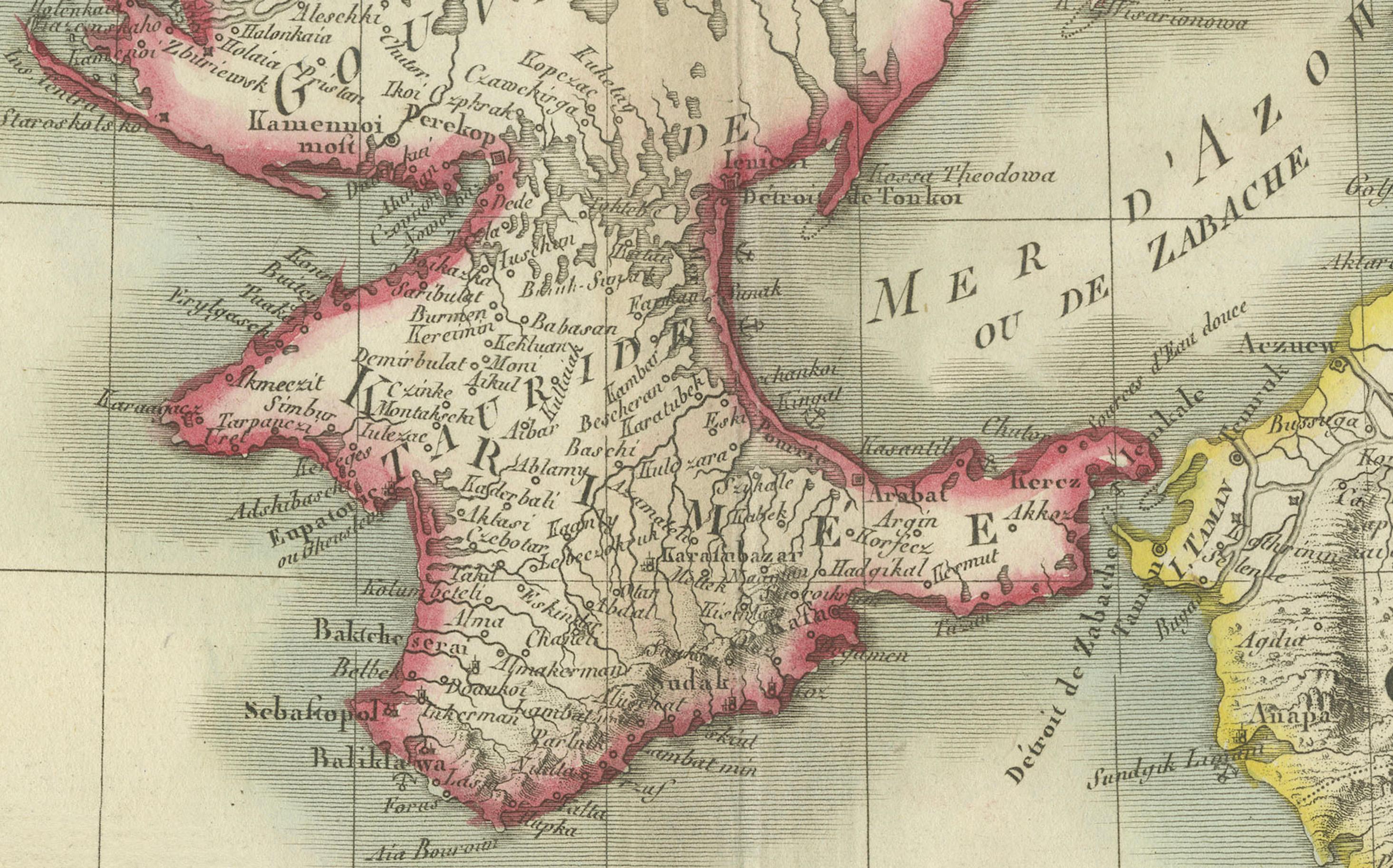
* Features: The map showcases the Black Sea with detailed coastlines and significant geographical features such as rivers, mountain ranges, and cities. It includes the Sea of Azov and part of the surrounding territories. The title cartouche is centrally located at the top of the map, and the outlines are hand-colored.
Around the year 1800, the region surrounding the Black Sea was a complex and dynamic area influenced by several powerful empires and characterized by a mix of cultures, languages, and religions. Here’s a detailed overview of the region during that period:
Political Landscape:
1. Ottoman Empire: Controlled much of the southern coastline, including present-day Turkey and parts of the Balkans. The Empire was still influential but facing decline, with power often delegated to local rulers.
2. Russian Empire: Rapidly expanding southward, Russia controlled the northern Black Sea coast and had recently annexed Crimea in 1783. Cities like Sevastopol and Odessa began to rise in prominence.
3. Crimean Khanate: Formerly a powerful vassal of the Ottoman Empire, it had been absorbed into the Russian Empire by the late 18th century, signaling a major power shift.
4. Habsburg Monarchy: While not directly bordering the Black Sea, Austria’s influence in the Balkans impacted the broader political dynamics in the region.
5. Moldavia and Wallachia: These Ottoman vassal states (modern Romania) served as strategic buffer zones between the Ottoman and Russian Empires.
Socio-Economic Conditions:
* Trade and Commerce: The Black Sea was a key commercial artery between Europe and Asia. Ports like Constantinople (Istanbul), Varna, and Trabzon were bustling with activity, especially in the grain trade.
* Agriculture and Resources: Fertile lands around the Danube and Crimea supported significant agricultural output, while fishing and mineral extraction played supporting economic roles.
* Cultural Diversity: The region hosted a mosaic of ethnicities—Turks, Greeks, Armenians, Slavs, Tatars, and others—and religious traditions, including Islam, Eastern Orthodoxy, and Judaism.
Conflicts and Changes:
* Russo-Turkish Wars: A series of conflicts in the late 18th century reshaped territorial control. The Treaty of Jassy (1792) confirmed Russian dominance over the northern coast and parts of the Caucasus.
* Decline of the Ottoman Empire: Internal challenges and nationalist uprisings marked a period of stagnation, despite efforts at reform and modernization.
* Napoleonic Wars: While indirect, the Napoleonic Wars affected alliances and political balance, influencing developments around the Black Sea.
Summary:
By 1800, the Black Sea region was a crossroads of empires, religions, and cultures, marked by shifting power, thriving trade, and enduring strategic importance. This antique map captures the historical geography of this pivotal area at a transformative time.
Condition Overview:
1. Paper Quality: Mild yellowing typical of antique paper, but structurally sound.
2. Edges and Corners: Slight wear and minor tears near the fold, but no major losses.
3. Center Fold: Original fold line intact and stable, with no critical damage.
4. Color and Print Quality: Hand-coloring remains vivid; print is sharp and clear.
5. Staining and Spots: Minor staining at edges and along fold, not affecting the map's legibility or visual impact.
Historical and Artistic Value:
Pierre Antoine Tardieu was a respected French engraver and cartographer whose finely detailed steel engravings offered clarity and precision superior to earlier copperplate maps. His work remains highly collectible and is valued both for its aesthetic qualities and historical documentation.