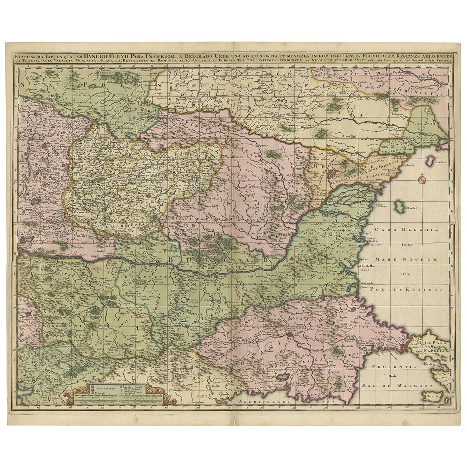
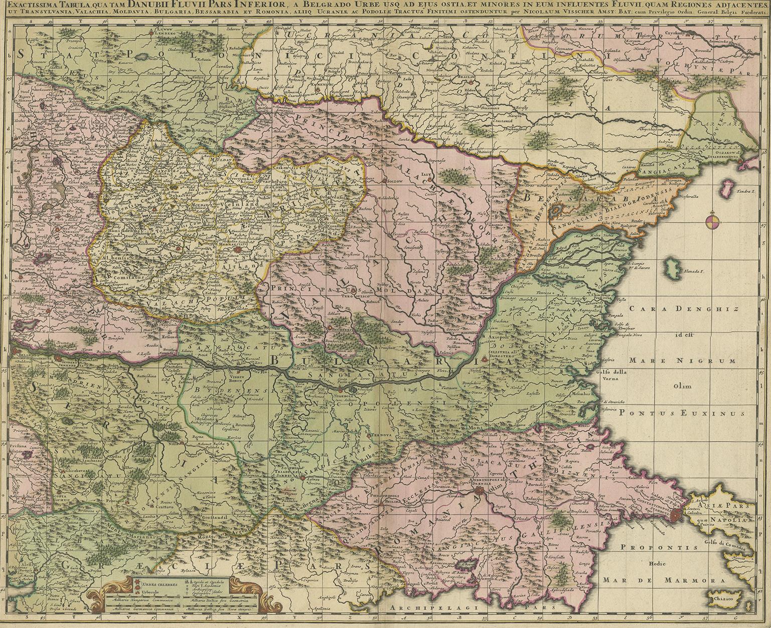
Antique Map of Ukraine, Bulgaria, Romania, Servia by N. Visscher, circa 1700
€ 647
One of a kind: this is the sheet in the photographs. Ships from Langweer, the Netherlands.
Date
1700
Sheet size
51.8 × 61 cm (20.4 × 24.0 in)
Condition
Good
Reference
BG-06384
Condition
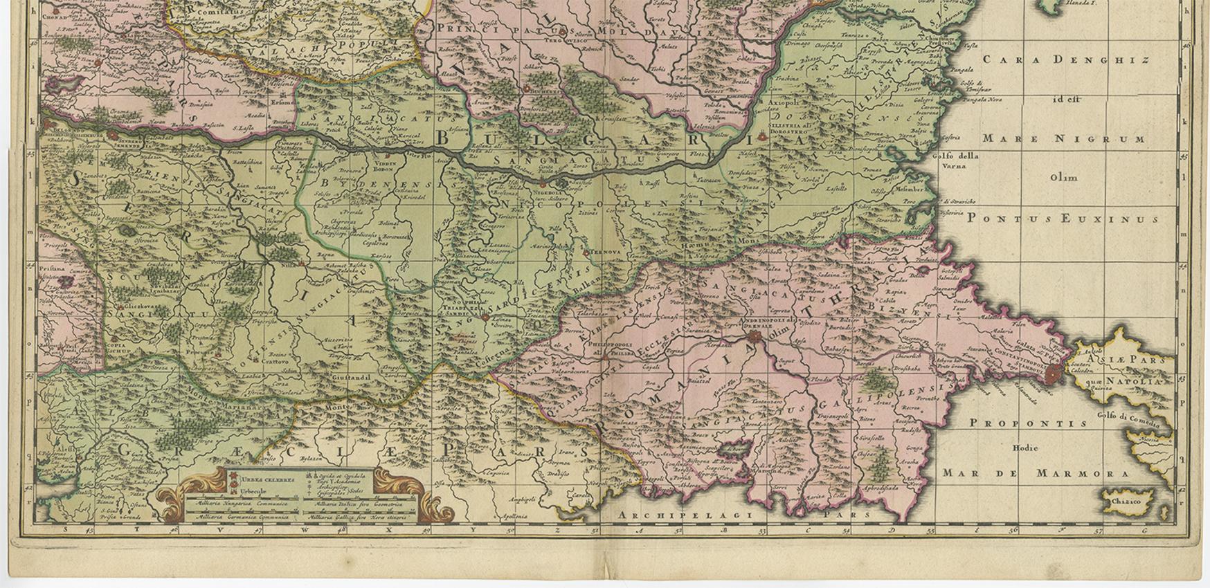
Small tear at the bottom of the centre fold. Please study image carefully.
About this sheet
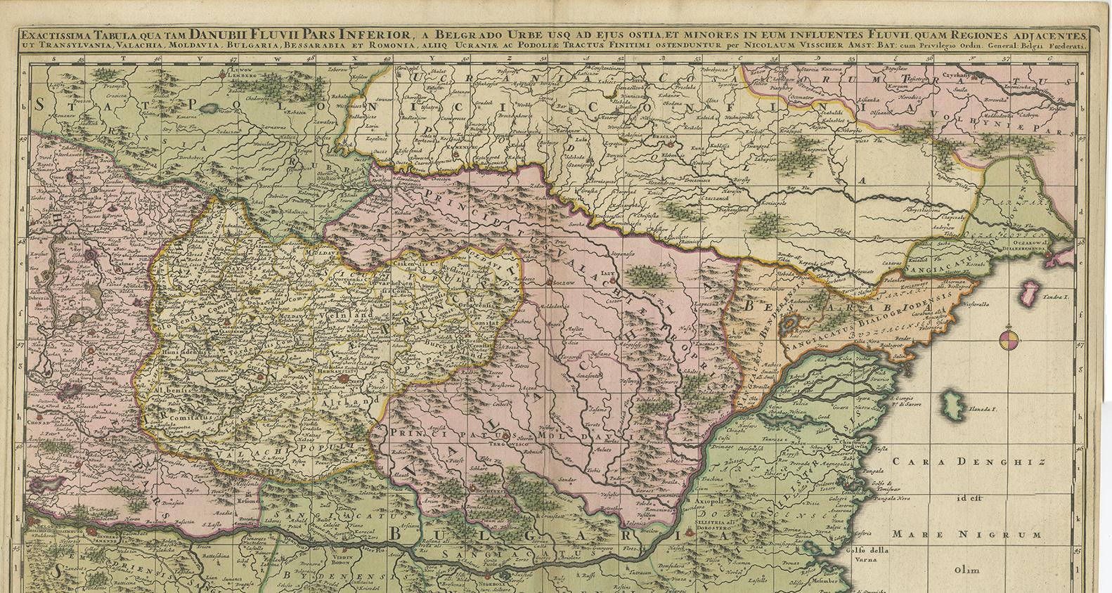
Antique map titled 'Exactissima Tabula qua tam Danubii Fluvii Pars Inferior, a Belgrado Urbe usq ad ejus ostia, et minores in eum influentes, Fluvii quam Regiones adjacentes, ut Transylvania, Valachia, Moldovia, Bulgaria, Bessarabia et Romonia, aliiq Ucraniae ac Podoliae.'
Detailed map of the lower Danube, extending from Belgrade to the Black Sea. The map extends to Constantinople and the Bosphorus Straits in the southeast to the Ukraine and Podolia in the northeast, and from northern Greece in the southwest to the southern part of the Kingdom of Poland in the northwest, centered on Bulgaria and Valachia. Published circa 1700.