Maps & PrintsBartele Gallery · Langweer
Home / Antique Maps / Europe / Eastern Europe

Eastern Europe

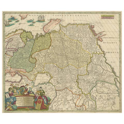
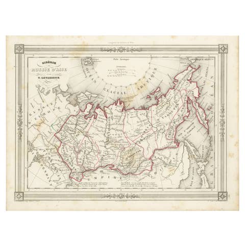
Old Genuine Antique Map of Tartary in the Russian Far East

€ 1 400

One of a kind: this is the sheet in the photographs. Ships from Langweer, the Netherlands.

Sheet size
48 × 61 cm (18.9 × 24.0 in)
Condition
Good
Reference
BG-13336

Condition

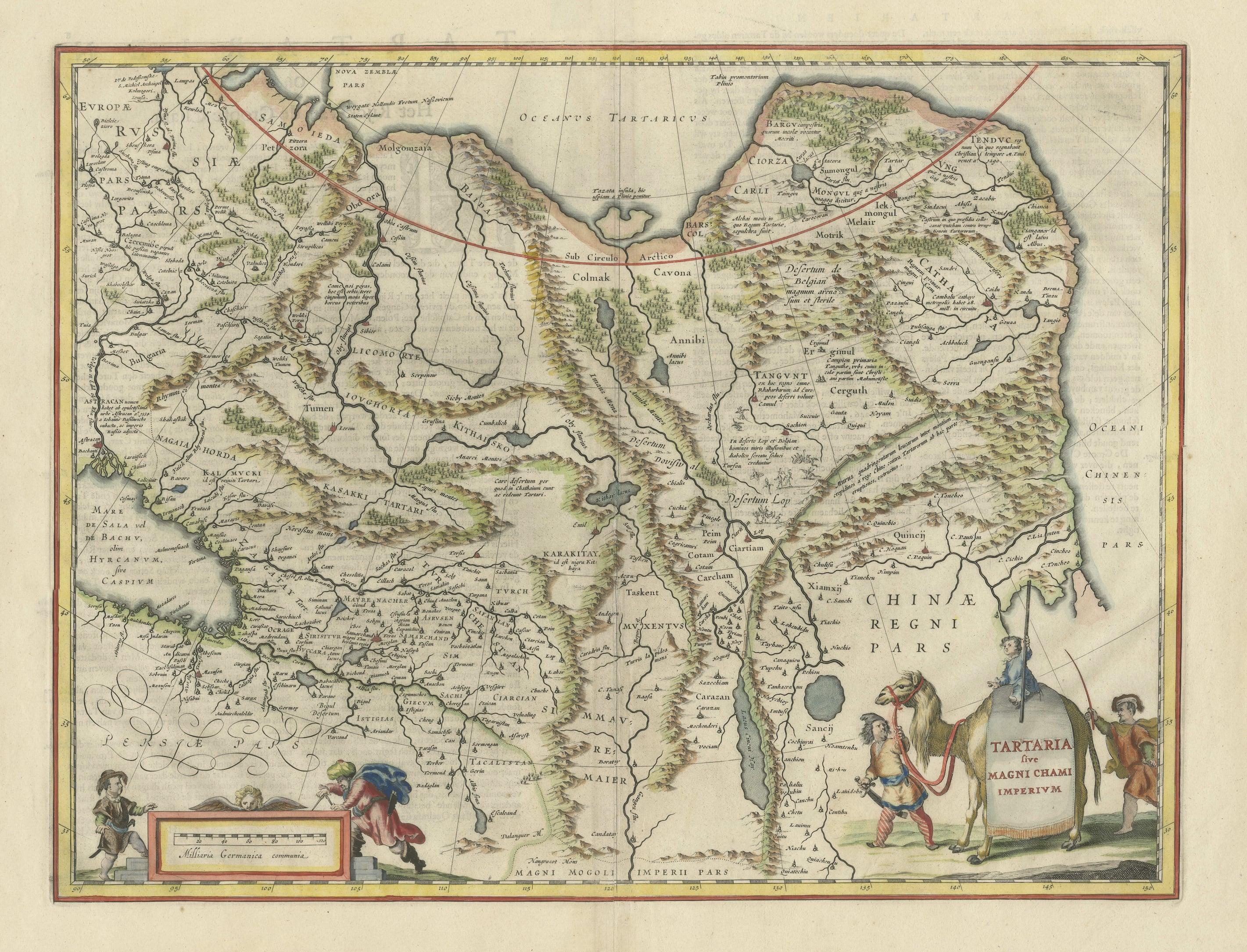

Wear consistent with age and use. General age-related toning. Full contemporary color with a centerfold separation that enters 1" into map image at bottom and a short tear in top blank margin that have been archivally repaired. Dutch text on verso, please study images carefully.

About this sheet

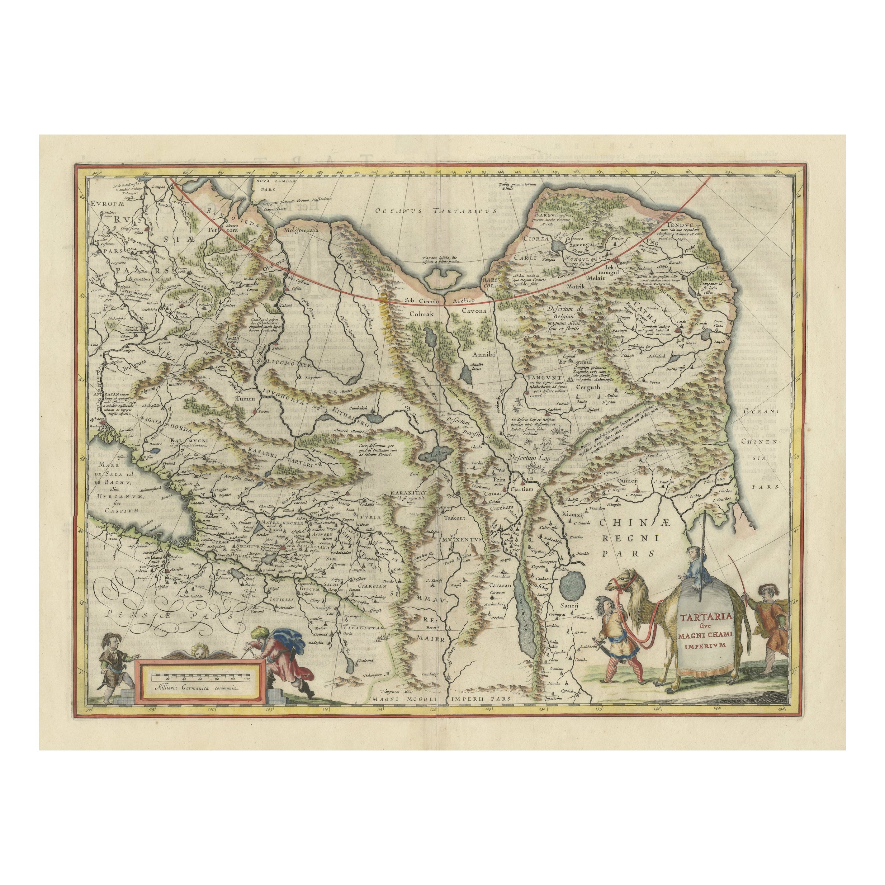
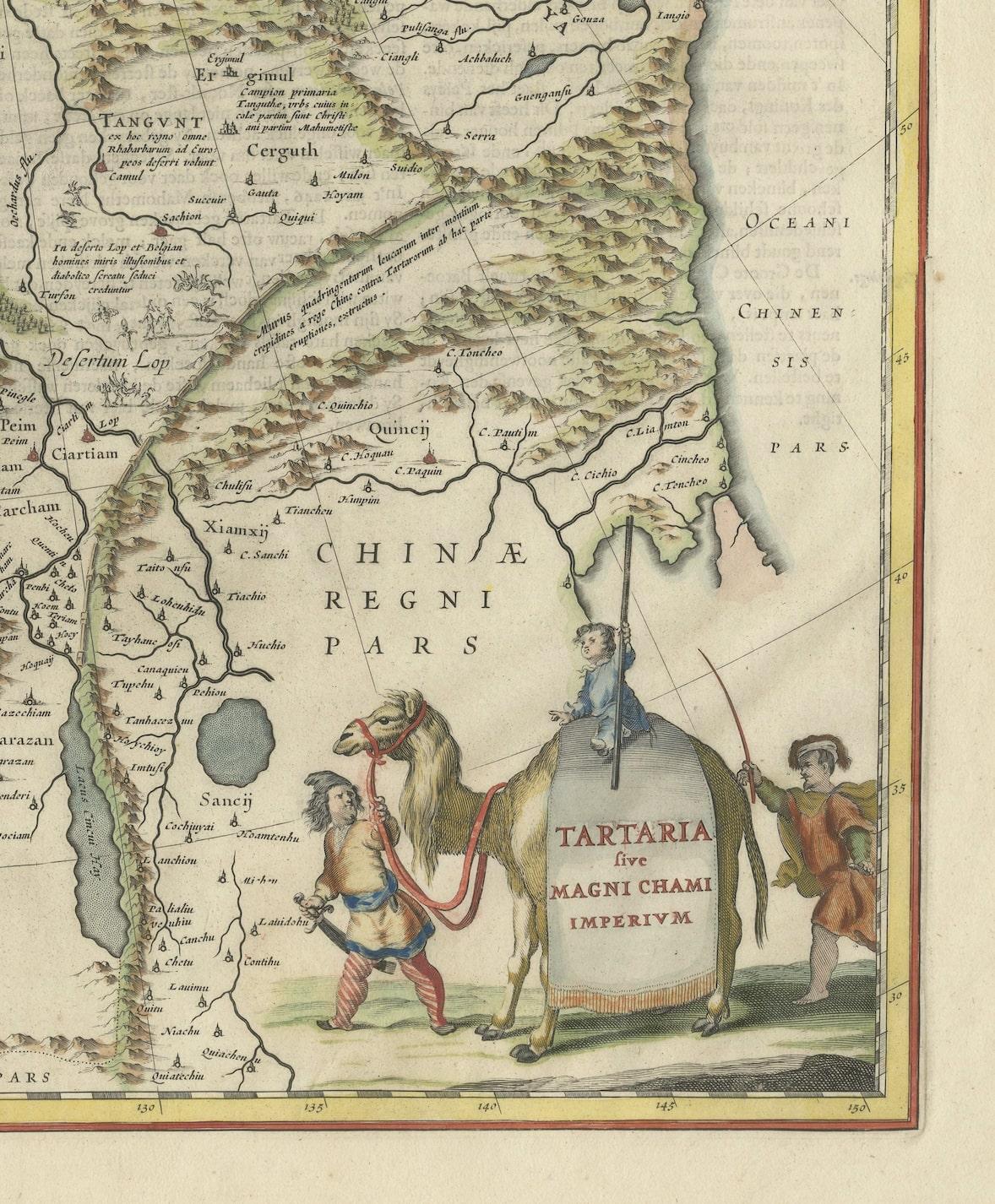
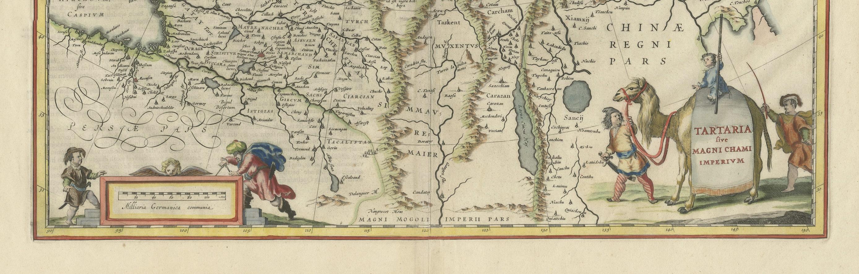
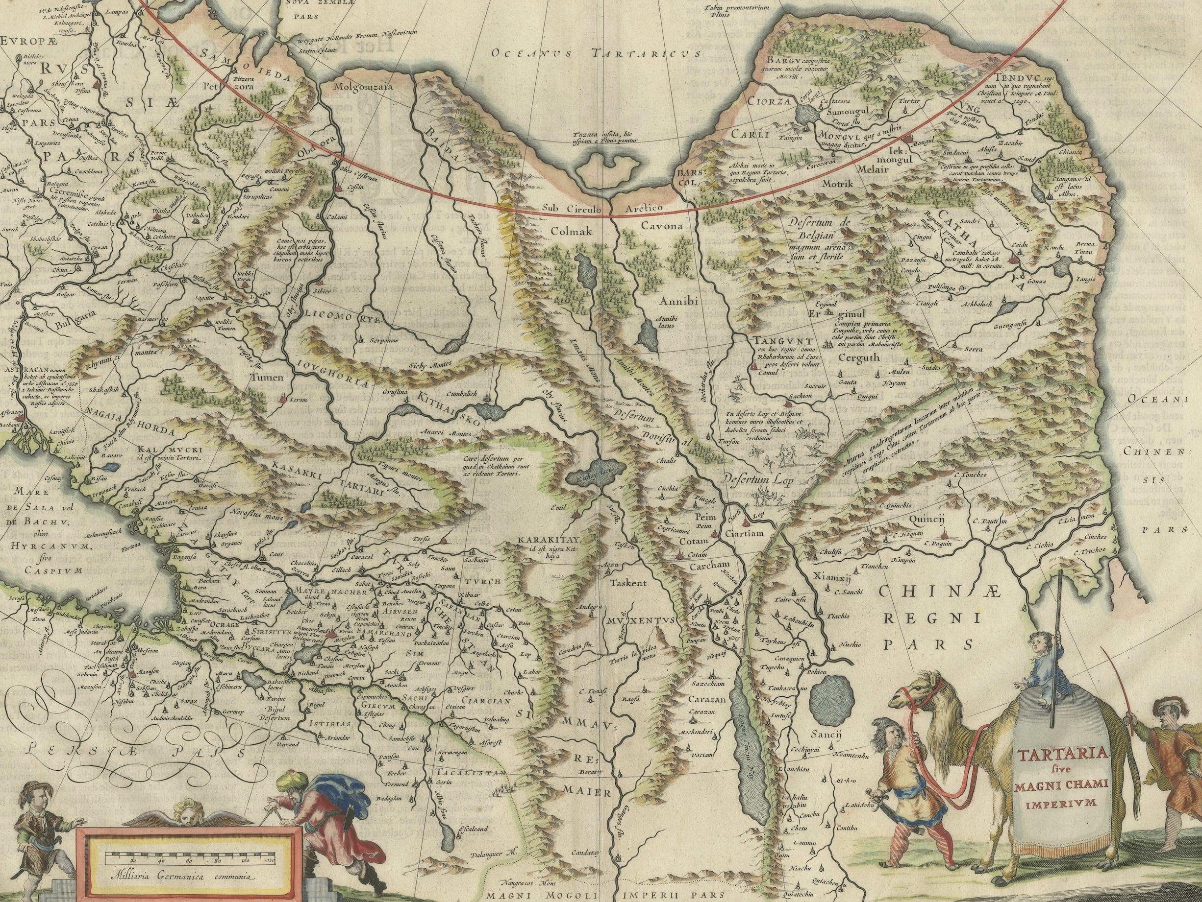
Original antique map titled 'Tartaria sive Magni Chami Imperium'. This great map of Tartary covers all of eastern Asia between the Caspian Sea and northern China and Manchuria. Being one of the most remote regions of Asia, it was among the last to be properly explored and mapped. This map combines the knowledge obtained by the English and Dutch explorers as far as the Ob River with the balance of the map based on the reports of Marco Polo and the Greek classics. The deserts are filled with a wild assortment of devils and dragons, being held at bay from China by the Great Wall. Explorers flank the distance scale and the title is symbolically engraved onto the saddle blanket of a camel, representing the trade over the Silk Road. This map is nearly identical to Jansson's map of the same title, but includes meridians and degrees of longitude at top and bottom. Dutch text on verso, published between 1642-48.

More from Eastern Europe

Ask about this sheet

Old Genuine Antique Map of Tartary in the Russian Far East
Ref. BG-13336 · € 1 400
We reply by email, usually within one working day.